2020s Maps of Pitt County, North Carolina
Explore 22 historic maps of Pitt County from the 2020s. These maps offer a rare glimpse into what life looked like during the 2020s — showing old roads, neighborhoods, homes, and landmarks that have changed or disappeared over time.
Whether you're researching your family's past, planning a metal detecting trip, or studying how Pitt County's landscape evolved across the 2020s, these high-resolution maps are a powerful tool for exploring the history of this region.
- Focus on a specific era: All maps on this page are from the 2020s, giving you a focused view of this time period.
- See what’s changed: Compare century-old streets, trails, and buildings to today's modern landscape using overlays and satellite layers.
- Research with precision: Use these maps for genealogy, historical research, land use analysis, or educational projects.
- View, download, or print: Maps are fully viewable online in high resolution, and can be downloaded or printed for your own records.
Start exploring Pitt County's history through authentic maps from the 2020s. This is your window into the past.
Pitt County, NC maps
(22)- 2022 Map of Vanceboro, 2022 Print
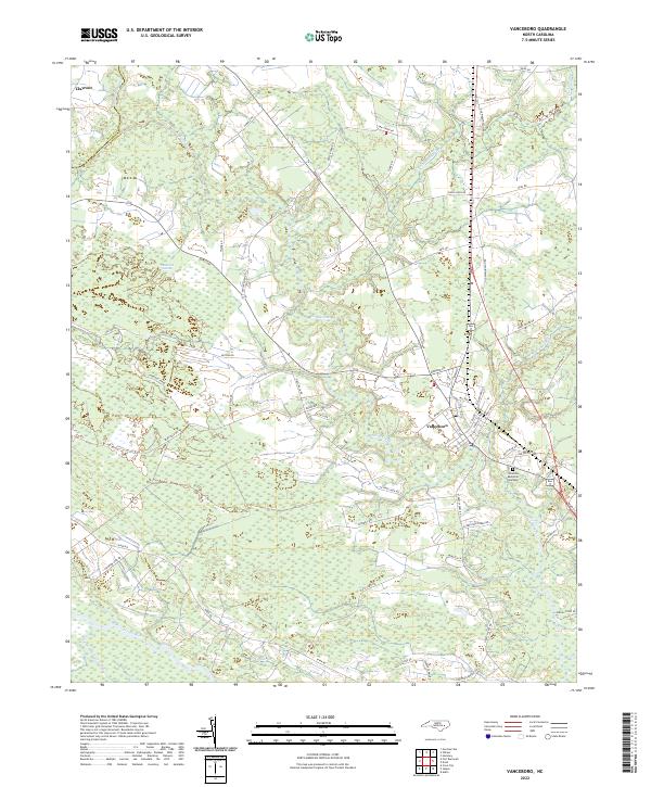 2022 Vanceboro2022 Print · USGSVanceboro and its surrounding coastal plain wetlands are captured here in the early twenty-first century. Genealogists and local historians can trace family land and rural road networks near Clayroot, Celestial Memorial Gardens, and the banks of Swift Creek.
 - 2022 Map of Fort Barnwell, 2022 Print
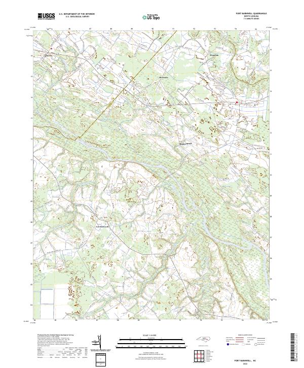 2022 Fort Barnwell2022 Print · USGSThe eastern North Carolina coastal plain near the Neuse River comes into focus in this recent survey of Craven and Pitt Counties. Researchers can trace the sophisticated drainage networks of the Saint Johns Canal and Shiloh Canal near settlements like Fort Barnwell and Honolulu.
 - 2022 Map of Hookerton, 2022 Print
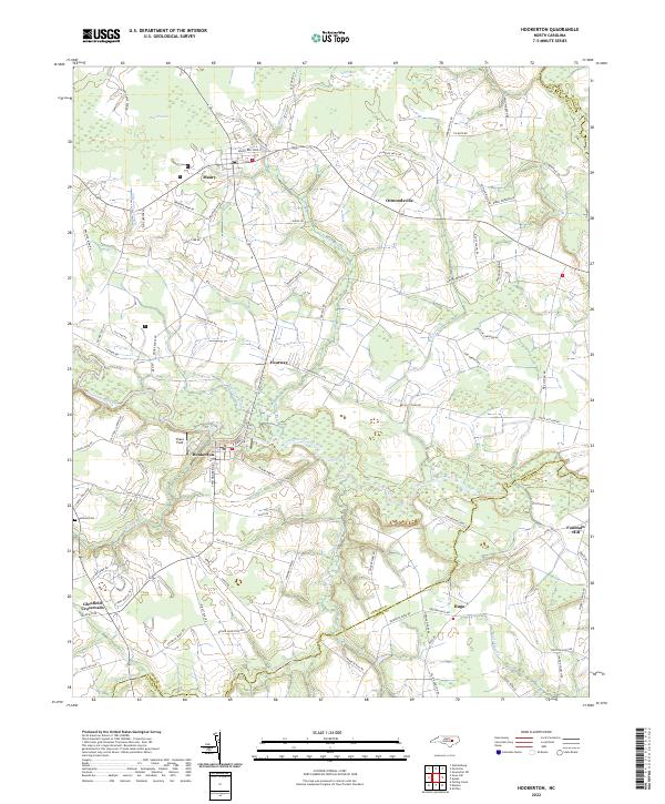 2022 Hookerton2022 Print · USGSGreene County agriculture and wetlands define the landscape during the early 2020s, showing a region shaped by its watercourses. Genealogists and local historians can trace family roots along Bobby Edwards Rd or near Rainbow Cem and the quiet community of Hookerton.
 - 2022 Map of Grimesland, 2022 Print
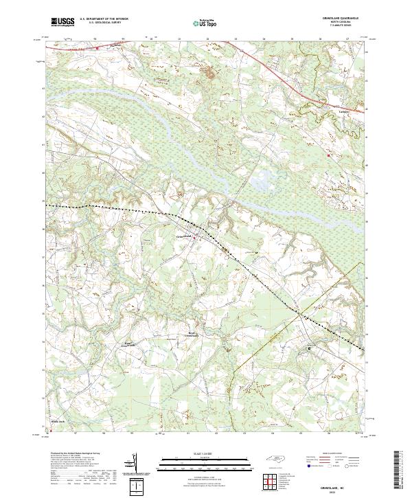 2022 Grimesland2022 Print · USGSCoastal plain settlements and river lowlands in Pitt County are captured here in the early 2020s. Researchers can locate family landmarks like Grimes Cemetery and trace the paths through Boyd Crossroads and Hams Crossroads.
 - 2022 Map of Falkland, 2022 Print
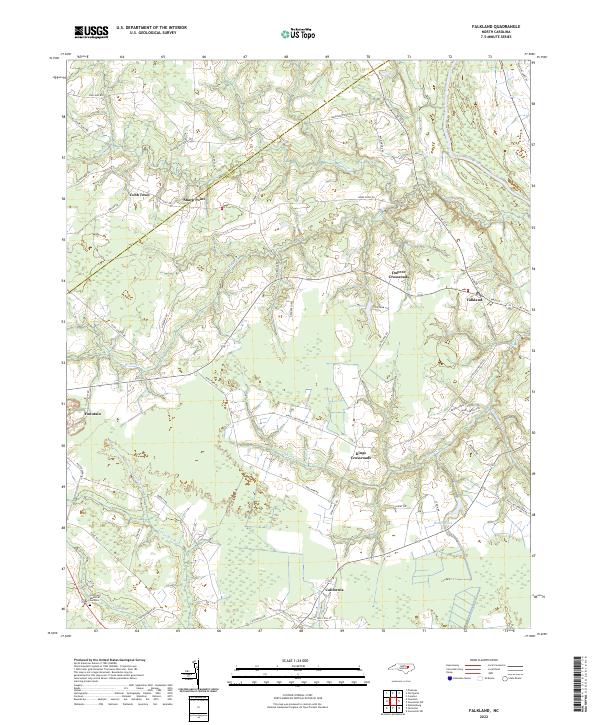 2022 Falkland2022 Print · USGSPitt County and the Edgecombe border are documented in this recent survey of the North Carolina coastal plain. Genealogists can trace family land and rural settlements at Falkland, Kings Crossroads, and Cobb Town along the winding Tar River and Blue Swamp.
 - 2022 Map of Robersonville West, 2022 Print
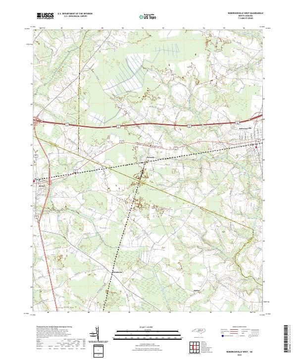 2022 Robersonville West2022 Print · USGSThe borderlands of Pitt, Martin, and Edgecombe counties come into focus in the early 2020s, revealing a landscape defined by extensive coastal swamps. Researchers can trace the drainage patterns of Ross Swamp and Flat Swamp or locate family sites near Parmele and Whitehurst.
 - 2022 Map of Walstonburg, 2022 Print
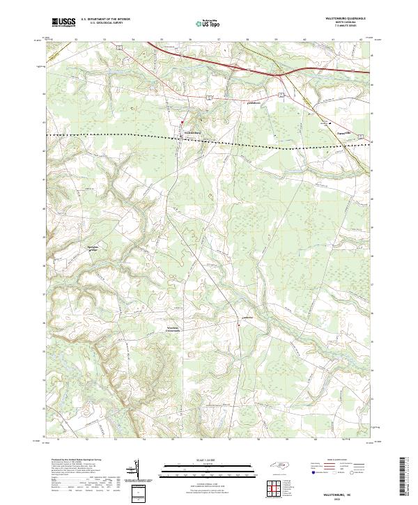 2022 Walstonburg2022 Print · USGSCoastal Plain settlements and extensive swamp networks define the borderlands of Greene and Pitt counties in the early 2020s. Researchers can trace rural developments from Walstonburg to Castoria and locate landmarks like Sunset Memorial Park.
 - 2022 Map of Greenville NE, 2022 Print
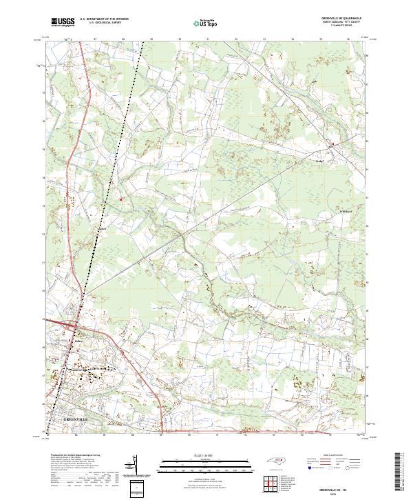 2022 Greenville NE2022 Print · USGSPitt County's rural landscape northeast of the regional center is documented here in the early 2020s. Genealogists and local historians can trace family-named landmarks and settlements like Stokes, Staton, and Whichard along the banks of Grindle Creek.
 - 2022 Map of Conetoe, 2022 Print
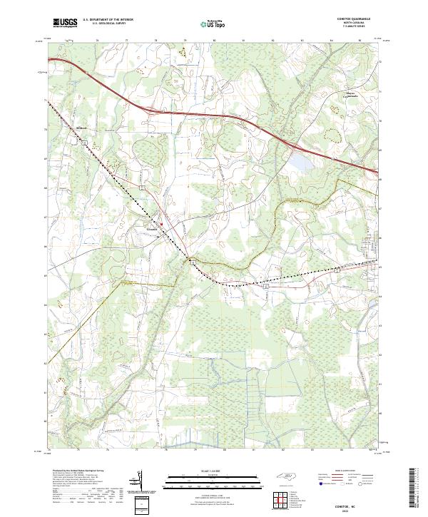 2022 Conetoe2022 Print · USGSThe rural landscape of Edgecombe and Pitt Counties comes into focus in this contemporary survey of its drainage canals and farming communities. Researchers can trace land ties along Burnette Farm Rd or explore the settlements of Conetoe and Mildred.
 - 2022 Map of Greenville SW, 2022 Print
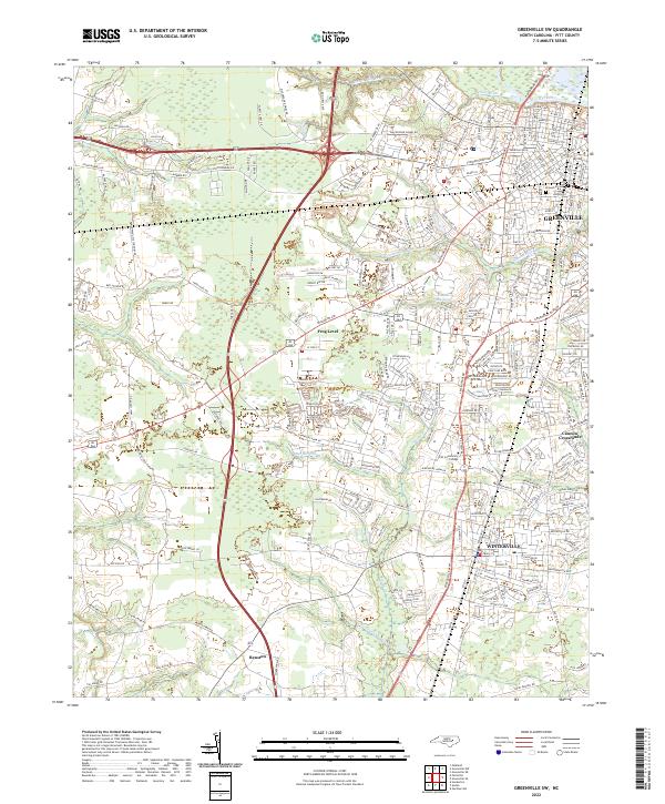 2022 Greenville SW2022 Print · USGSThe Greenville outskirts and Winterville area show their modern footprint in the early 2020s. Researchers can trace family sites and local landmarks from Brownhill Cem and Pitt Community College to the small community of Frog Level.
 - 2022 Map of Greenville SE, 2022 Print
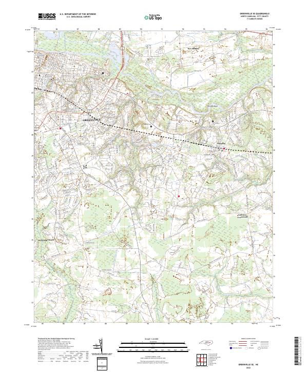 2022 Greenville SE2022 Print · USGSGreenville and southeastern Pitt County are mapped here in the early 2020s, showcasing the region's mix of university growth and lowland swamps. Researchers can locate family landmarks like Greenwood Cem or trace the rural crossroads of Simpson and Galloway Crossroads.
 - 2022 Map of Farmville, 2022 Print
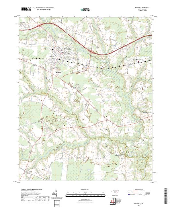 2022 Farmville2022 Print · USGSFarmville and its neighboring crossroads in Pitt and Greene counties are shown in this 2022 survey. Researchers can trace the layout of Marlboro, Bell Arthur, and Lizzie or locate local landmarks like Hollywood Cem and Half Moon Pocosin.
 - 2022 Map of Greenville NW, 2022 Print
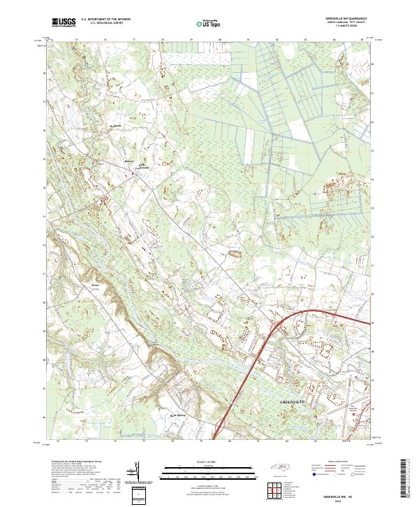 2022 Greenville NW2022 Print · USGSGreenville and its northwestern rural fringes are documented in this contemporary survey of the Pitt County coastal plain. Researchers can trace the development of legacy settlements like Belvoir and Bells Crossroads or follow the path of the Tar River.
 - 2022 Map of Robersonville East, 2022 Print
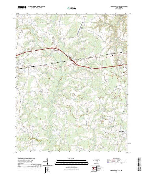 2022 Robersonville East2022 Print · USGSMartin County's agricultural heartland is documented here in the early twenty-first century as it centers on the growth of Robersonville and Everetts. Researchers can trace the rural landscape from the Martin County Airport down to the remote reaches of Collie Swamp and Bear Grass.
 - 2022 Map of Gardnerville, 2022 Print
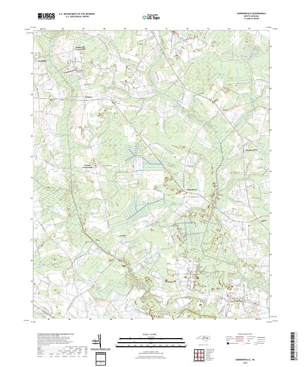 2022 Gardnerville2022 Print · USGSPitt County at the start of the 2020s shows a landscape of interconnected rural crossroads and coastal plain drainage. Researchers can trace family history through locations like Haddocks Crossroads and Shelmerdine or find land-use patterns near Swift Creek.
 - 2022 Map of Grifton, 2022 Print
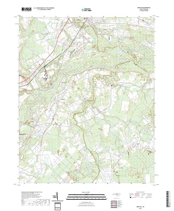 2022 Grifton2022 Print · USGSCoastal plain hydrology and rural settlement patterns are visible in this 2020s study of the area between Grifton and Kinston. Genealogists and historians can trace family-named roads like Daughety White Rd and old waterworks including Rhem Canal and Buckleberry Canal.
 - 2022 Map of Old Sparta, 2022 Print
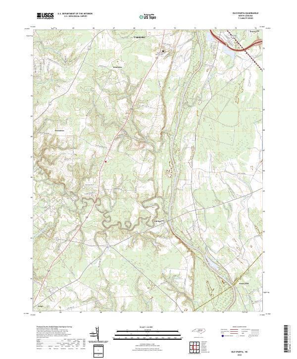 2022 Old Sparta2022 Print · USGSThe Tar River corridor in Edgecombe County remains a landscape of historic river settlements and family farmsteads into the early 2020s. Researchers can locate named landmarks such as Old Sparta, the Cromwell Canal, and Edgecombe Memorial Park.
 - 2022 Map of Wilmar, 2022 Print
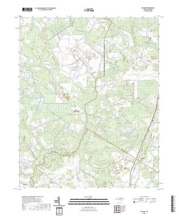 2022 Wilmar2022 Print · USGSCoastal Plain wetlands and rural settlements define this Pitt and Beaufort County border area in the early 2020s. Researchers can trace the layout of small communities like Elmira Crossroads and Wilmar alongside major natural features like Creeping Swamp.
 - 2022 Map of Leggetts Crossroads, 2022 Print
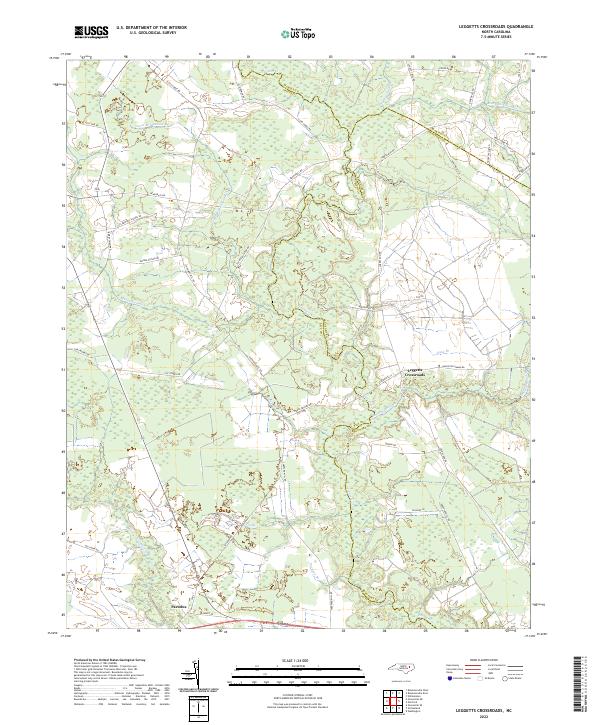 2022 Leggetts Crossroads2022 Print · USGSCoastal plain wetlands and rural crossroads define this modern-day survey of the Pitt and Beaufort county borders. Genealogists can trace family-named corridors such as Sheppard Mill Rd and Tucker-Bullock Rd near Leggetts Crossroads and Pactolus.
 - 2022 Map of Ayden, 2022 Print
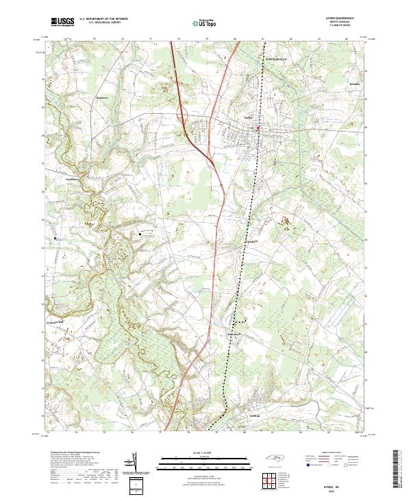 2022 Ayden2022 Print · USGSPitt County and the surrounding coastal plain are shown in detail as they appeared recently, centered on the hub of Ayden. Genealogists and local historians can trace small communities like Scuffleton and Redallia or find family landmarks such as Jackson Cem.
 - 2022 Map of Fountain, 2022 Print
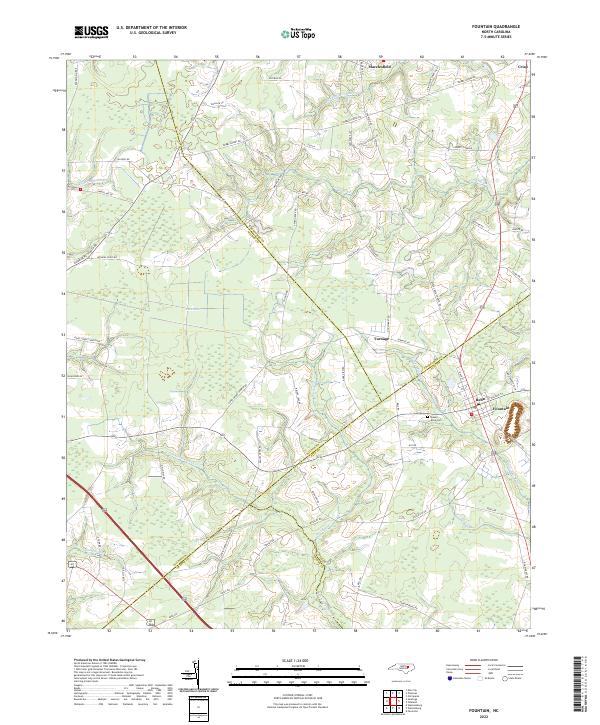 2022 Fountain2022 Print · USGSThe rural borderlands of Pitt and Edgecombe counties are mapped here in the early twenty-first century as a landscape of agricultural crossroads and mill runs. Genealogists can locate family sites near Queen Anne Cem or trace the early paths of Macclesfield and Fountain.
 - 2022 Map of Washington, 2022 Print
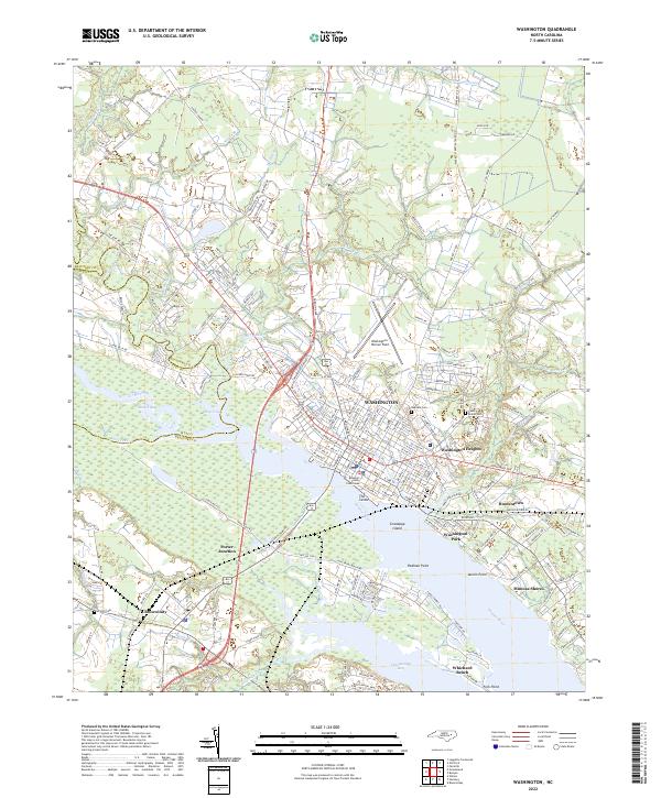 2022 Washington2022 Print · USGSWashington and the Pamlico River waterfront are captured here in the early 2020s, showing a blend of historic riverport character and modern coastal expansion. Researchers can locate family landmarks like The Castle, trace local history at Oakdale Cem, or explore the rail-and-river hub of Chocowinity.
End of results
Showing maps 1-22 of 22
Top cities of Pitt County
- Greenville historical maps
- Ayden historical maps
- Winterville historical maps
- Farmville historical maps
- Bethel historical maps
- Fountain historical maps
See more
Frequently asked questions
- What are the different types of historical maps available for Pitt County?
- What is the oldest map of Pitt County?
- Where can I purchase historical maps of Pitt County for my home or office?
- Where can I download high-res historical maps of Pitt County?
- Are there historical topographic maps available for Pitt County?
- Is there historical aerial imagery available for Pitt County?
- Where are historical maps of Pitt County sourced from?