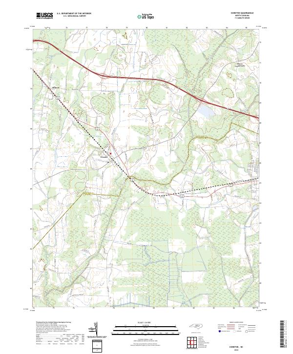
2022 Map of Conetoe
USGS Topo · Published 2022About this map
Conetoe and the surrounding agricultural lowlands of the Coastal Plain are defined by a complex network of drainage infrastructure designed to manage the local hydrology. Significant waterways like Knight Canal, Mitchell Swamp Canal, and Thomas Canal intersect the landscape, illustrating a long history of water management to support farming between the Conetoe Cr and Grindle Cr watersheds. The settlement pattern remains centered on crossroads and small rail-adjacent communities including Mildred and Mayos Crossroads. This 2022 survey captures the persistent rural character of the area where the Edgecombe Co and Pitt Co line crosses the swampy terrain. Local family names are preserved in the road network, with routes like Burnette Farm Rd and Jimmie Worsley Ln providing clues for genealogists tracking land ownership and family history in this part of North Carolina.
Find a feature on this map
68 named features on this map. Tap any name to fly to it.
Don’t see what you’re looking for? This feature index may not catch every label — zoom into the map to look around manually.
Map Details
Editions of this 2022 Conetoe Map
This is the sole edition of this map. No revisions or reprints were ever made.
Other maps of this area

1901 · Parmele
USGS Topo · 1:62,500

1902 · Parmele
USGS Topo · 1:62,500

1902 · Tarboro
USGS Topo · 1:62,500

1903 · Tarboro
USGS Topo · 1:62,500

1903 · Winterville
USGS Topo · 1:62,500

1904 · Falkland
USGS Topo · 1:62,500

1905 · Winterville
USGS Topo · 1:62,500

1953 · Rocky Mount
USGS Topo · 1:250,000

1954 · Rocky Mount
USGS Topo · 1:250,000

1980 · Falkland
USGS Topo · 1:24,000