Old Maps of Pembroke, North Carolina for Academic Research
Study the evolution of Pembroke with 11 high-resolution historic maps. Whether you're teaching, researching, or modeling changes in land use, these maps provide essential visual documentation of urban, environmental, and geographic change.
- Analyze long-term change: Track patterns in development, transportation, and natural features.
- Ideal for environmental or urban studies: Support academic projects with primary historical map data.
- Use in the classroom or lab: Educators and researchers rely on these maps to bring historical context to life.
These maps are a powerful tool for teaching, research, and visualizing how Pembroke has changed over the decades.
Pembroke, NC maps
(11)- 1953 Map of Florence, 1964 Print
 1953 Florence1964 Print · USGSThe Carolina borderlands in the mid-fifties were a landscape of vast river swamps and rising rail towns. Trace the legacy of the Seaboard Air Line through Florence or explore the wetlands surrounding Lake Waccamaw and the Green Swamp.3 unique versions available
 - 1954 Map of Florence
 1954 Florence1954 Print · USGSThe Carolinas borderlands come alive in the early fifties, showing the vital rail-and-river networks of the coastal plain. Genealogists can trace family footprints across the Green Swamp or through settlements like Red Springs, Chadbourn, and McColl.
 - 1972 Map of Pembroke, 1976 Print
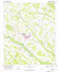 1972 Pembroke1976 Print · USGSPembroke and the surrounding Robeson County wetlands are shown here in the early 1970s, as the university and rail lines shaped local life. Researchers can trace family-named landmarks and old congregations such as Harpers Ferry Ch and Union Chapel near the Lumber River.2 unique versions available
 - 1976 Map of Pembroke, 1978 Print
 1976 Pembroke1978 Print · USGSRobeson County is captured in detail during the mid-seventies, showing the agricultural rhythm and small-town structure of the North Carolina coastal plain. Genealogists and local researchers can trace the footprint of Pembroke or find historic crossroads like Buie and Moss Neck.
 - 1983 Map of Laurinburg, 1984 Print
 1983 Laurinburg1984 Print · USGSThe Carolina borderlands come into focus in the early 1980s, showcasing a landscape defined by the Sandhills Game Land and major river systems. Genealogists and rail historians can trace the paths of the Seaboard Coast Line Railroad through Hamlet or locate St Andrews College and Cheraw State Park.2 unique versions available
 - 2002 Map of Pembroke
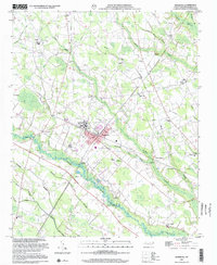 2002 Pembroke2002 Print · USGSPembroke and the surrounding swamplands of Robeson County are detailed here in the early 2000s. Genealogists can trace family landmarks and rural communities at Pembroke State Univ, Harpers Ferry, and Riverside Memorial Ch.
 - 2010 Map of Pembroke, 2010 Print
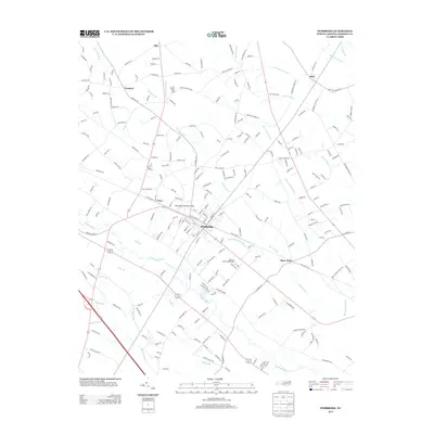
 2010 Pembroke2010 Print · USGSCovers Pembroke, including Pates, Phil, and other nearby areas
 - 2013 Map of Pembroke, 2013 Print
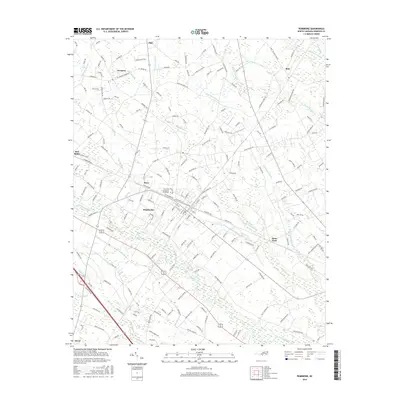
 2013 Pembroke2013 Print · USGSCovers Pembroke, including Pates, Phil, and other nearby areas
 - 2016 Map of Pembroke, 2016 Print
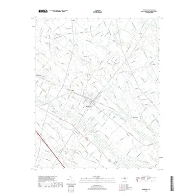
 2016 Pembroke2016 Print · USGSCovers Pembroke, including Pates, Phil, and other nearby areas
 - 2019 Map of Pembroke, 2019 Print
 2019 Pembroke2019 Print · USGSCovers Pembroke, including Pates, Phil, and other nearby areas
 - 2022 Map of Pembroke, 2022 Print
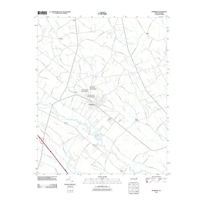
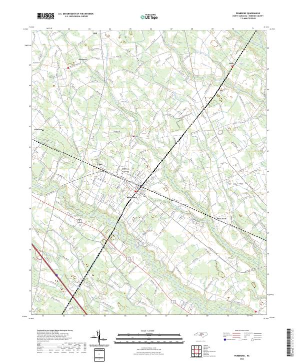 2022 Pembroke2022 Print · USGSCoastal plain settlements and university life define the Pembroke area in the early 2020s. Researchers can trace the winding Lumber River and locate regional landmarks like the University of North Carolina at Pembroke and the Moss Neck community.
End of results
Showing maps 1-11 of 11
Top cities near Pembroke
- Lumberton historical maps
- Dillon historical maps
- Fairmont historical maps
- Maxton historical maps
- Rowland historical maps
- Hamer historical maps
See more
Frequently asked questions
- What are the different types of historical maps available for Pembroke?
- What is the oldest map of Pembroke?
- Where can I purchase historical maps of Pembroke for my home or office?
- Where can I download high-res historical maps of Pembroke?
- Are there historical topographic maps available for Pembroke?
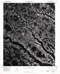
- Is there historical aerial imagery available for Pembroke?
- Where are historical maps of Pembroke sourced from?