2010s Maps of Rutherford County, North Carolina
Explore 70 historic maps of Rutherford County from the 2010s. These maps offer a rare glimpse into what life looked like during the 2010s — showing old roads, neighborhoods, homes, and landmarks that have changed or disappeared over time.
Whether you're researching your family's past, planning a metal detecting trip, or studying how Rutherford County's landscape evolved across the 2010s, these high-resolution maps are a powerful tool for exploring the history of this region.
- Focus on a specific era: All maps on this page are from the 2010s, giving you a focused view of this time period.
- See what’s changed: Compare century-old streets, trails, and buildings to today's modern landscape using overlays and satellite layers.
- Research with precision: Use these maps for genealogy, historical research, land use analysis, or educational projects.
- View, download, or print: Maps are fully viewable online in high resolution, and can be downloaded or printed for your own records.
Start exploring Rutherford County's history through authentic maps from the 2010s. This is your window into the past.
Rutherford County, NC maps
(70)- 2010 Map of Boiling Springs North, 2010 Print
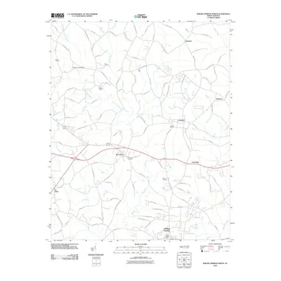 2010 Boiling Springs North2010 Print · USGSCleveland County at the start of the 2010s reveals a network of rural townships and family landmarks. Genealogists and local historians can trace the foundations of Mooresboro, locate the Lattimore Cemetery, or find historical crossings like Rock Ford.
 - 2010 Map of Dysartsville, 2010 Print
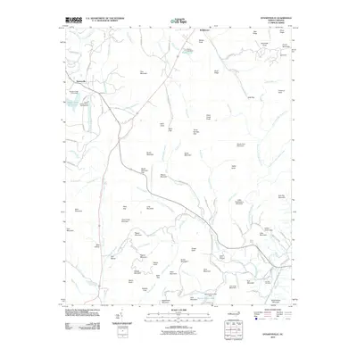 2010 Dysartsville2010 Print · USGSThe Tennessee River and NC & ST L RY define this 1950s-era landscape of rural Tennessee. Researchers can pinpoint historic community hubs like Camden, Eva Sch, and Mt Carmel Cem while exploring mid-century property lines.
 - 2010 Map of Polkville, 2010 Print
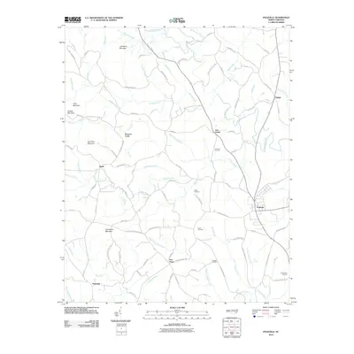 2010 Polkville2010 Print · USGSCleveland County's rural foothills and the settlement of Polkville appear in high detail during the early twenty-first century. Genealogists and local historians can trace family land and landmarks like Jack Moore Mountain, New House, and the Lattimore Cemetery.
 - 2010 Map of Sunshine, 2010 Print
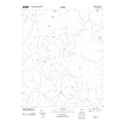 2010 Sunshine2010 Print · USGSRutherford County at the start of the 21st century remains a landscape of high ridges and rural church communities. Genealogists can locate family landmarks like Mount Lebanon Cemetery, the Adkins Mine, and the historic crossroad at Sunshine.
 - 2010 Map of Glenwood, 2010 Print
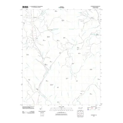 2010 Glenwood2010 Print · USGSThe foothills of the Blue Ridge Mountains are seen here in the early 2000s, where the Second Broad River meets a network of country roads and ridges. Genealogists can locate several family and community burial sites, including Brackettown Cemetery and Piney Cemetery.
 - 2010 Map of Rutherfordton North, 2010 Print
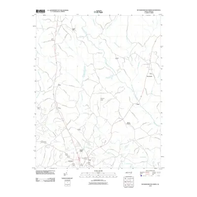 2010 Rutherfordton North2010 Print · USGSRutherford County at the dawn of the twenty-first century reveals a landscape of enduring rural settlements and modern aviation. Genealogists can trace family names through Gold Hill Cemetery or Centennial Cemetery and locate homes near Union Mills and Gilkey.
 - 2010 Map of Lake Lure, 2010 Print
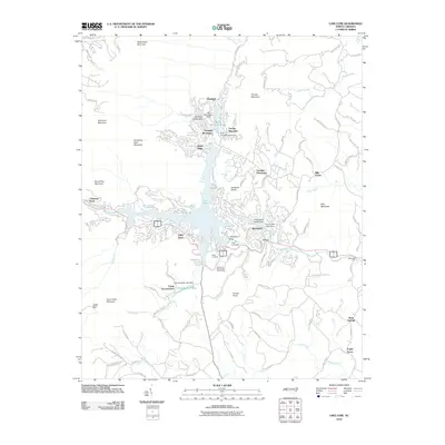 2010 Lake Lure2010 Print · USGSLake Lure and the surrounding mountain ridges are shown here in the early twenty-first century as they matured into a major recreational and residential hub. Researchers can trace the development of lakeside sites like Camp Lurecrest, identify the placement of Lake Lure Dam, and locate mountain peaks such as Rumbling Bald Mountain.
 - 2010 Map of Bat Cave, 2010 Print
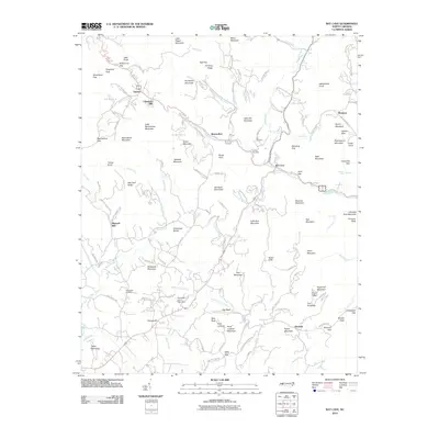 2010 Bat Cave2010 Print · USGSHenderson County mountain communities are captured in this recent survey, showing the landscape of the Blue Ridge foothills. Researchers can trace family history through sites like Edneyville Cemetery, the old Maxwell Mill, and the namesake village of Bat Cave.
 - 2010 Map of Sugar Hill, 2010 Print
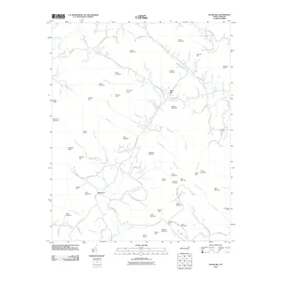 2010 Sugar Hill2010 Print · USGSThe North Carolina foothills near Whitehouse and Sugar Hill are shown here in the years following the millennium. Genealogists and hikers can trace family names across Morgan Mountain, locate the Lawing Cemetery, or follow the banks of the Second Broad River.
 - 2010 Map of Pea Ridge, 2010 Print
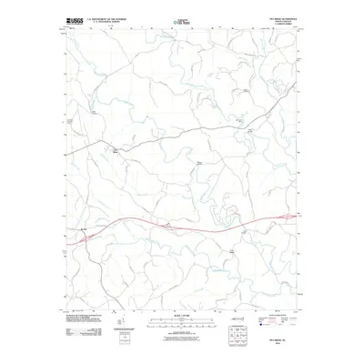 2010 Pea Ridge2010 Print · USGSThe rural landscape of Polk County is captured here in the early twenty-first century, centered on the community of Pea Ridge. Researchers can trace old family land through landmarks like Walker Cemetery and historic river crossings including Twitty Bridge and Cox Bridge.
 - 2010 Map of Benn Knob, 2010 Print
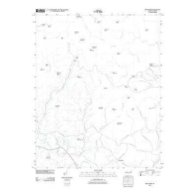 2010 Benn Knob2010 Print · USGSThe South Mountains of North Carolina come into sharp focus in this 2010 survey of the rugged ridges near Casar. Researchers can trace the rural landscape from the Horse Ridge Lookout Tower to the settlement at New Home and the waters of the First Broad River.
 - 2010 Map of Forest City, 2010 Print
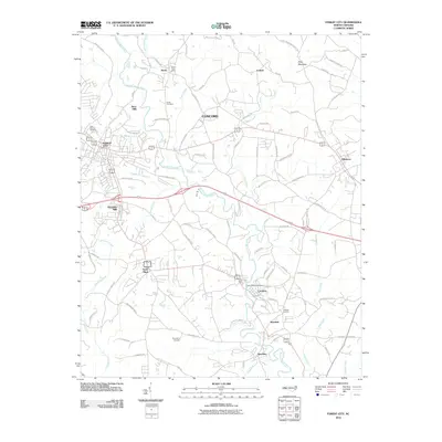 2010 Forest City2010 Print · USGSRutherford County at the start of the 2010s reveals a landscape defined by its textile heritage and the Second Broad River. Trace the industrial corridor through Caroleen, Henrietta, and Alexander Mills, or locate family sites at Cool Springs Cemetery and the Bostic Post Office.
 - 2010 Map of Rutherfordton South, 2010 Print
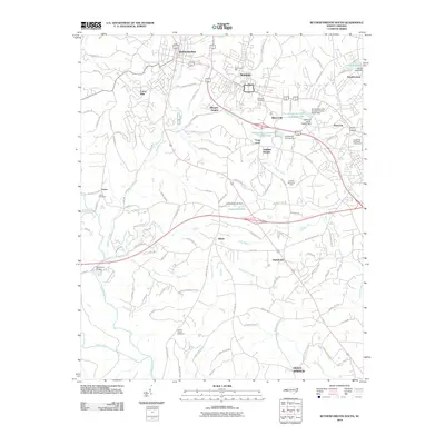 2010 Rutherfordton South2010 Print · USGSThe manufacturing and academic landscape of Rutherford County is on full display here in the early twenty-first century. Local historians can trace the foundations of Spindale and Rutherfordton, locating landmarks like Stonecutter Mill, Kistlers Chapel Cemetery, and Washburn Bridge.
 - 2010 Map of Shingle Hollow, 2010 Print
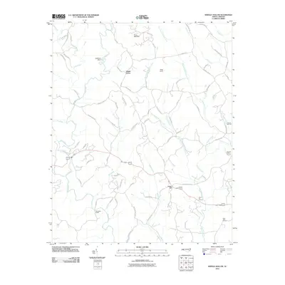 2010 Shingle Hollow2010 Print · USGSRutherford County at the start of the 2010s reveals a landscape of high ridges and deep river valleys. Genealogists and local historians can trace family-named sites like Miller-Twitty Cemetery and Whiteside Bridge or follow the waters of the Broad River.
 - 2011 Map of Moffitt Hill, 2011 Print
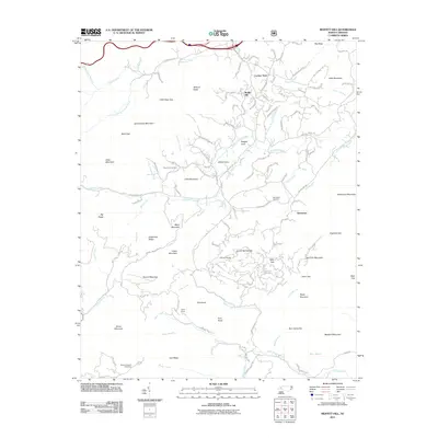 2011 Moffitt Hill2011 Print · USGSThe McDowell County highlands come into focus in the early twenty-first century, showcasing the network of gaps and coves that shaped local life. Researchers can locate family landmarks like Pine Cove Cemetery, tracing the roads between Lackey Town, Davistown, and the Catawba River.
 - 2011 Map of Boiling Springs South, 2011 Print
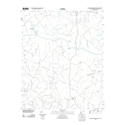 2011 Boiling Springs South2011 Print · USGSThe North Carolina-South Carolina border region comes into focus here just after the millennium, centered on the Broad River corridor. Genealogists can trace family heritage through dozens of local sites, including CampsCreek Cemetery, Sarratt Cemetery, and the community of Maud.
 - 2011 Map of Fingerville East, 2011 Print
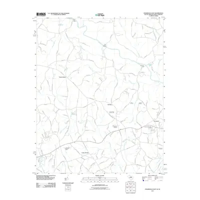 2011 Fingerville East2011 Print · USGSThe South Carolina-North Carolina border country comes into focus in the early twenty-first century, showing the rural communities of Cooley Springs and Brooklyn. Genealogists can trace local roots through landmarks like the Gethsemane Cemetery and Robbins Cemetery.
 - 2011 Map of Chesnee, 2011 Print
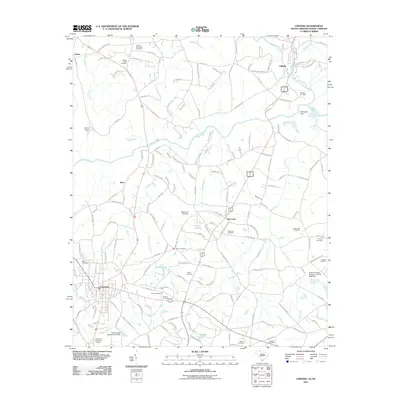 2011 Chesnee2011 Print · USGSChesnee and the Carolina borderlands are captured here in the early twenty-first century, showing a landscape defined by the Broad River and rural crossroads. Genealogists can trace numerous family sites like the Byars Cemetery, Johnson Cemetery, and Goodes Creek Church.
 - 2013 Map of Dysartsville, 2013 Print
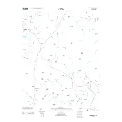 2013 Dysartsville2013 Print · USGSDysartsville and the surrounding McDowell County peaks are captured here in the early twenty-first century as the landscape maintains its traditional rural character. Genealogists and local historians can trace family-named landmarks like Earl Mountain and Jim Long Mountain, or locate the historic Stewart Cove settlement.
 - 2013 Map of Glenwood, 2013 Print
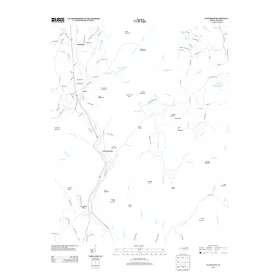 2013 Glenwood2013 Print · USGSMcDowell County's foothills come alive in the early 2010s, showing the rural character and mountain terrain around Glenwood. Researchers can trace old family roads and landmarks like Vein Mountain, Thermal City, and the winding Second Broad River.
 - 2013 Map of Benn Knob, 2013 Print
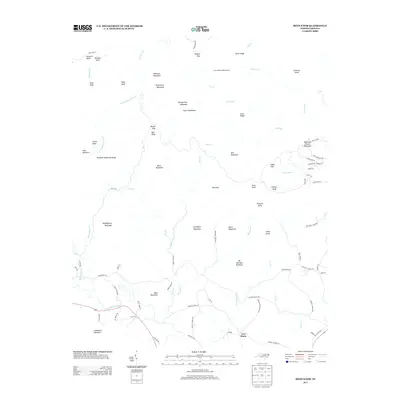 2013 Benn Knob2013 Print · USGSThe foothills of North Carolina are captured here in the early twenty-first century, showing a landscape defined by the high peaks of the South Mountains. Researchers can trace old family landmarks and community roots along Moriah School Rd and near the settlement of New Home.
 - 2013 Map of Sunshine, 2013 Print
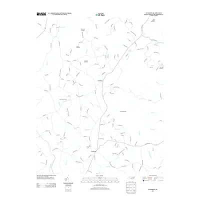 2013 Sunshine2013 Print · USGSRutherford County's rolling upland terrain and rural communities are captured here in the early twenty-first century. Researchers can trace family roots through landmarks like Sandy Level Church and the settlement at Sunshine, or locate the site of Clute's Hilltop Airport.
 - 2013 Map of Rutherfordton South, 2013 Print
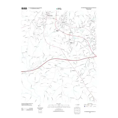 2013 Rutherfordton South2013 Print · USGSRutherford County at the start of the 2010s shows a landscape defined by collegiate growth and river valleys. Researchers can trace local communities from Rutherfordton and Spindale down to Shiloh, or locate landmarks like Frog Level and Sunnyside Lake.
 - 2013 Map of Boiling Springs North, 2013 Print
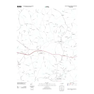 2013 Boiling Springs North2013 Print · USGSCleveland County's rural landscape is captured here in the early twenty-first century as small towns and family roads define the area. Genealogists and local historians can trace family-named routes and key hubs like Lattimore, Mooresboro, and Six Points.
 - 2013 Map of Polkville, 2013 Print
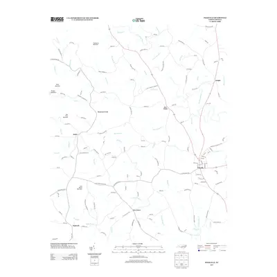 2013 Polkville2013 Print · USGSCleveland County's rural crossroads and foothills come into focus in the early 2010s, showcasing a landscape of small communities and named peaks. You can trace family roots and local history through Polkville, New House, and landmarks like Jack Moore Mountain.
Showing maps 1-25 of 70
Top cities of Rutherford County
- Forest City historical maps
- Rutherfordton historical maps
- Spindale historical maps
- Lake Lure historical maps
- Ellenboro historical maps
- Ruth historical maps
See more
Frequently asked questions
- What are the different types of historical maps available for Rutherford County?
- What is the oldest map of Rutherford County?
- Where can I purchase historical maps of Rutherford County for my home or office?
- Where can I download high-res historical maps of Rutherford County?
- Are there historical topographic maps available for Rutherford County?
- Is there historical aerial imagery available for Rutherford County?
- Where are historical maps of Rutherford County sourced from?