2000s (21st Century) Maps of Waxhaw, North Carolina
Explore 10 historic maps of Waxhaw from the 2000s (21st Century). These maps offer a rare glimpse into what life looked like during the 2000s — showing old roads, neighborhoods, homes, and landmarks that have changed or disappeared over time.
Whether you're researching your family's past, planning a metal detecting trip, or studying how Waxhaw's landscape evolved across the 2000s, these high-resolution maps are a powerful tool for exploring the history of this region.
- Focus on a specific era: All maps on this page are from the 2000s, giving you a focused view of this time period.
- See what’s changed: Compare century-old streets, trails, and buildings to today's modern landscape using overlays and satellite layers.
- Research with precision: Use these maps for genealogy, historical research, land use analysis, or educational projects.
- View, download, or print: Maps are fully viewable online in high resolution, and can be downloaded or printed for your own records.
Start exploring Waxhaw's history through authentic maps from the 2000s. This is your window into the past.
Waxhaw, NC maps
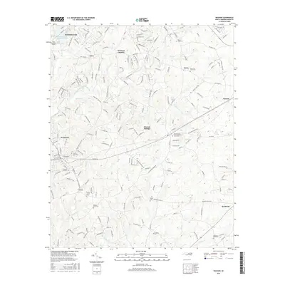
(10)- 2010 Map of Waxhaw, 2010 Print
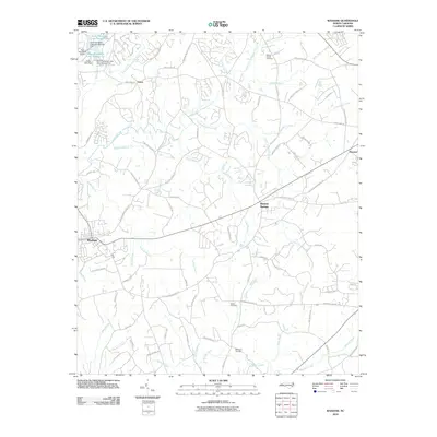 2010 Waxhaw2010 Print · USGSCovers Waxhaw, including Weddington, Wesley Chapel, and other nearby areas
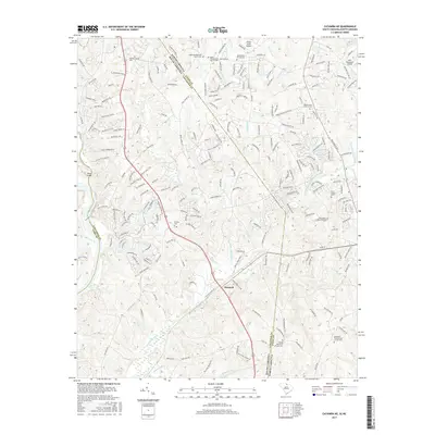
 - 2011 Map of Catawba NE, 2011 Print
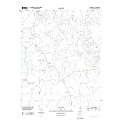 2011 Catawba NE2011 Print · USGSCovers Waxhaw, including Weddington, Marvin, and other nearby areas
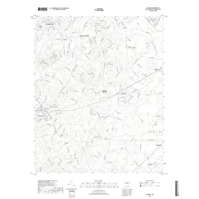
 - 2013 Map of Waxhaw, 2013 Print
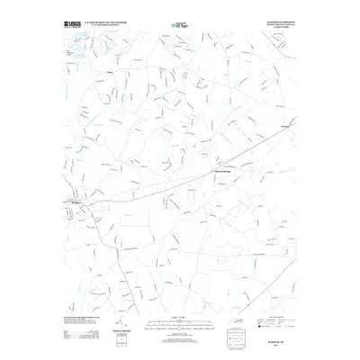 2013 Waxhaw2013 Print · USGSCovers Waxhaw, including Weddington, Wesley Chapel, and other nearby areas
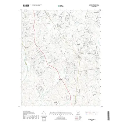
 - 2014 Map of Catawba NE, 2014 Print
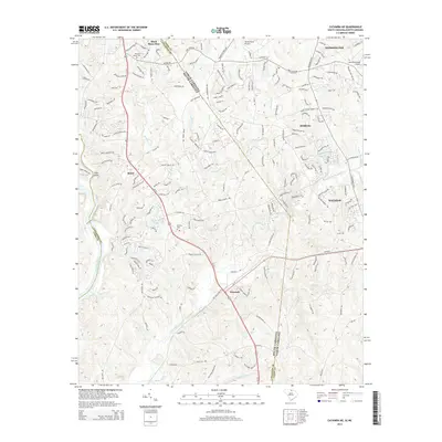 2014 Catawba NE2014 Print · USGSCovers Waxhaw, including Weddington, Marvin, and other nearby areas
 - 2016 Map of Waxhaw, 2016 Print
 2016 Waxhaw2016 Print · USGSCovers Waxhaw, including Weddington, Wesley Chapel, and other nearby areas
 - 2017 Map of Catawba NE, 2017 Print
 2017 Catawba NE2017 Print · USGSCovers Waxhaw, including Weddington, Marvin, and other nearby areas
 - 2019 Map of Waxhaw, 2019 Print
 2019 Waxhaw2019 Print · USGSCovers Waxhaw, including Weddington, Wesley Chapel, and other nearby areas
 - 2020 Map of Catawba NE, 2020 Print
 2020 Catawba NE2020 Print · USGSCovers Waxhaw, including Weddington, Marvin, and other nearby areas
 - 2022 Map of Waxhaw, 2022 Print
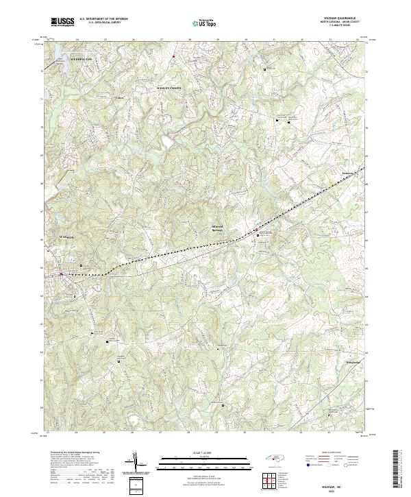 2022 Waxhaw2022 Print · USGSSouthern Union County is captured in this modern survey as it balances its rural heritage with suburban growth. Genealogists can trace family names through numerous sites like Ebenezer Church Cem, Walker Cem, and Wesley Chapel Cem.
 - 2024 Map of Catawba NE, 2024 Print
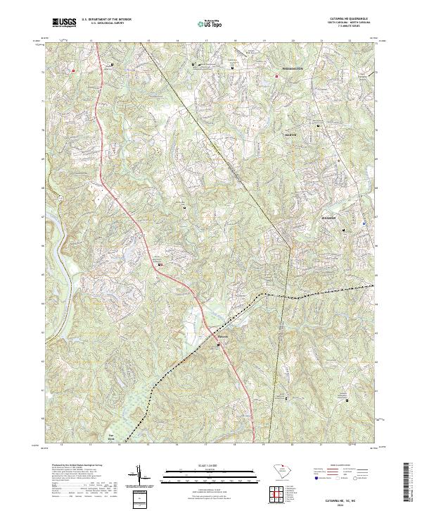 2024 Catawba NE2024 Print · USGSThe Carolina Piedmont comes into focus at the state line during a period of modern growth and suburban expansion. Researchers can trace ancestral roots at the Old Six Mile Church Graveyard or locate landmarks like Banks Presbyterian Church and Hancock.
End of results
Showing maps 1-10 of 10
Top cities near Waxhaw
- Charlotte historical maps
- Rock Hill historical maps
- Monroe historical maps
- Matthews historical maps
- Fort Mill historical maps
- Indian Land historical maps
See more
Frequently asked questions
- What are the different types of historical maps available for Waxhaw?
- What is the oldest map of Waxhaw?
- Where can I purchase historical maps of Waxhaw for my home or office?
- Where can I download high-res historical maps of Waxhaw?
- Are there historical topographic maps available for Waxhaw?
- Is there historical aerial imagery available for Waxhaw?
- Where are historical maps of Waxhaw sourced from?