Old Maps of Waxhaw, North Carolina for Academic Research
Study the evolution of Waxhaw with 18 high-resolution historic maps. Whether you're teaching, researching, or modeling changes in land use, these maps provide essential visual documentation of urban, environmental, and geographic change.
- Analyze long-term change: Track patterns in development, transportation, and natural features.
- Ideal for environmental or urban studies: Support academic projects with primary historical map data.
- Use in the classroom or lab: Educators and researchers rely on these maps to bring historical context to life.
These maps are a powerful tool for teaching, research, and visualizing how Waxhaw has changed over the decades.
Waxhaw, NC maps
(18)- 1941 Map of Spartanburg
 1941 Spartanburg1941 Print · USGSSouth Carolina’s Piedmont and Sandhills regions are shown here during the mid-century peak of the rail era. Researchers can trace the sprawling Fort Jackson Military Reservation and the industrial growth of hubs like Spartanburg and Rock Hill.
 - 1953 Map of Spartanburg, 1966 Print
 1953 Spartanburg1966 Print · USGSMid-century South Carolina comes into focus through this survey of the Piedmont and the Sand Hills at a time of significant reservoir expansion. Researchers can trace the legacy of industrial transit and resource extraction from the Haile Gold Mine to the rail hubs of the Seaboard Air Line.4 unique versions available
 - 1960 Map of Spartanburg
 1960 Spartanburg1960 Print · USGSThe South Carolina Piedmont and North Carolina borderlands come alive in this mid-century survey of the region between Spartanburg and Columbia. Researchers can trace the Seaboard Air Line railroad and explore landmarks like Anderson Quarry, Lake Murray, and Mount Croghan.2 unique versions available
 - 1963 Map of Spartanburg
 1963 Spartanburg1963 Print · USGSMid-century South Carolina comes alive in this survey, showing the rail-linked corridor between the Upstate and the Midlands. Genealogists can trace family lands near old hubs like Union and Lancaster, or along the banks of the Broad River and Pee Dee River.
 - 1964 Map of Spartanburg
 1964 Spartanburg1964 Print · USGSMid-century South Carolina comes alive in this survey of the Piedmont and Upcountry, stretching from the Blue Ridge foothills to the Sandhills. Genealogists and historians can trace the rail-and-river economy through Monarch Mills, Glenn Springs, and the Southern Railway corridor.
 - 1968 Map of Catawba NE, 1970 Print
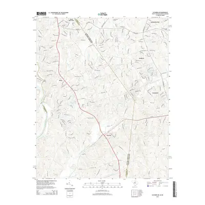
 1968 Catawba NE1970 Print · USGSThe Carolina borderlands north of Lancaster come into focus in the late sixties, showing a landscape of rural school districts and crossroads churches. Genealogists can trace family footprints near Indian Land High Sch, Steel Hill Ch, and along the Seaboard Coast Line.4 unique versions available
 - 1970 Map of Waxhaw, 1973 Print
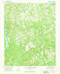
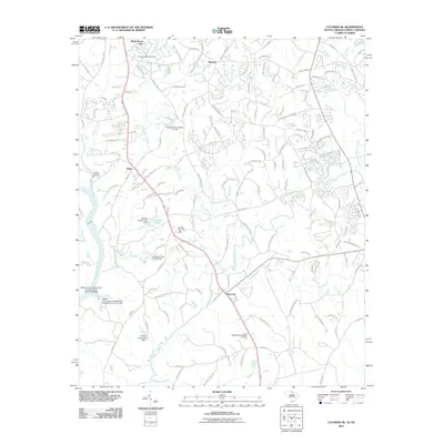
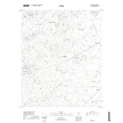
 1970 Waxhaw1973 Print · USGSUnion County, North Carolina, appears here in the early 1970s as a rural landscape shaped by the rail line and a dense network of creeks. Researchers can locate several community landmarks including Western Union School, Liberty Hill Church, and the Old Railroad Grade.3 unique versions available
 - 1986 Map of Lancaster
 1986 Lancaster1986 Print · USGSThe Carolina borderlands are captured in the mid-1980s as a thriving corridor of rail towns and diverse geography. Researchers can trace the region's heritage through landmarks like Forty Acre Rock, the Southern RR line, and rural sites such as Heath Springs Church.2 unique versions available
 - 2010 Map of Waxhaw, 2010 Print
 2010 Waxhaw2010 Print · USGSCovers Waxhaw, including Weddington, Wesley Chapel, and other nearby areas
 - 2011 Map of Catawba NE, 2011 Print
 2011 Catawba NE2011 Print · USGSCovers Waxhaw, including Weddington, Marvin, and other nearby areas
 - 2013 Map of Waxhaw, 2013 Print
 2013 Waxhaw2013 Print · USGSCovers Waxhaw, including Weddington, Wesley Chapel, and other nearby areas
 - 2014 Map of Catawba NE, 2014 Print
 2014 Catawba NE2014 Print · USGSCovers Waxhaw, including Weddington, Marvin, and other nearby areas
 - 2016 Map of Waxhaw, 2016 Print
 2016 Waxhaw2016 Print · USGSCovers Waxhaw, including Weddington, Wesley Chapel, and other nearby areas
 - 2017 Map of Catawba NE, 2017 Print
 2017 Catawba NE2017 Print · USGSCovers Waxhaw, including Weddington, Marvin, and other nearby areas
 - 2019 Map of Waxhaw, 2019 Print
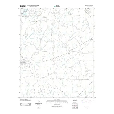
 2019 Waxhaw2019 Print · USGSCovers Waxhaw, including Weddington, Wesley Chapel, and other nearby areas
 - 2020 Map of Catawba NE, 2020 Print
 2020 Catawba NE2020 Print · USGSCovers Waxhaw, including Weddington, Marvin, and other nearby areas
 - 2022 Map of Waxhaw, 2022 Print
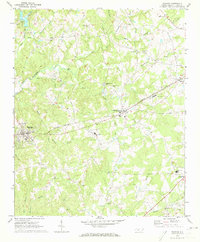
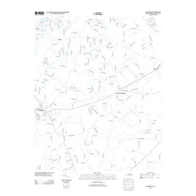
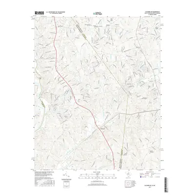
 2022 Waxhaw2022 Print · USGSSouthern Union County is captured in this modern survey as it balances its rural heritage with suburban growth. Genealogists can trace family names through numerous sites like Ebenezer Church Cem, Walker Cem, and Wesley Chapel Cem.
 - 2024 Map of Catawba NE, 2024 Print
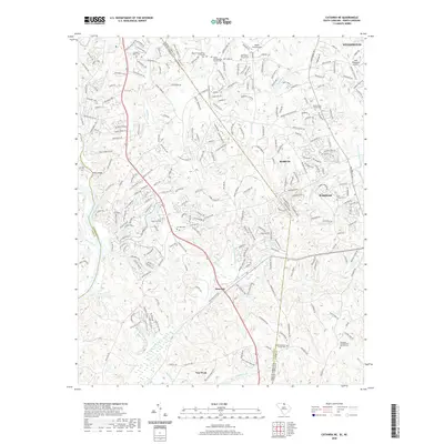
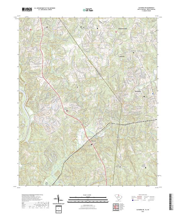 2024 Catawba NE2024 Print · USGSThe Carolina Piedmont comes into focus at the state line during a period of modern growth and suburban expansion. Researchers can trace ancestral roots at the Old Six Mile Church Graveyard or locate landmarks like Banks Presbyterian Church and Hancock.
End of results
Showing maps 1-18 of 18
Top cities near Waxhaw
- Charlotte historical maps
- Rock Hill historical maps
- Monroe historical maps
- Matthews historical maps
- Fort Mill historical maps
- Indian Land historical maps
See more
Frequently asked questions
- What are the different types of historical maps available for Waxhaw?
- What is the oldest map of Waxhaw?
- Where can I purchase historical maps of Waxhaw for my home or office?
- Where can I download high-res historical maps of Waxhaw?
- Are there historical topographic maps available for Waxhaw?
- Is there historical aerial imagery available for Waxhaw?
- Where are historical maps of Waxhaw sourced from?