2020s Maps of Cass County, North Dakota
Explore 78 historic maps of Cass County from the 2020s. These maps offer a rare glimpse into what life looked like during the 2020s — showing old roads, neighborhoods, homes, and landmarks that have changed or disappeared over time.
Whether you're researching your family's past, planning a metal detecting trip, or studying how Cass County's landscape evolved across the 2020s, these high-resolution maps are a powerful tool for exploring the history of this region.
- Focus on a specific era: All maps on this page are from the 2020s, giving you a focused view of this time period.
- See what’s changed: Compare century-old streets, trails, and buildings to today's modern landscape using overlays and satellite layers.
- Research with precision: Use these maps for genealogy, historical research, land use analysis, or educational projects.
- View, download, or print: Maps are fully viewable online in high resolution, and can be downloaded or printed for your own records.
Start exploring Cass County's history through authentic maps from the 2020s. This is your window into the past.
Cass County, ND maps
(78)- 2020 Map of West Fargo South, 2020 Print
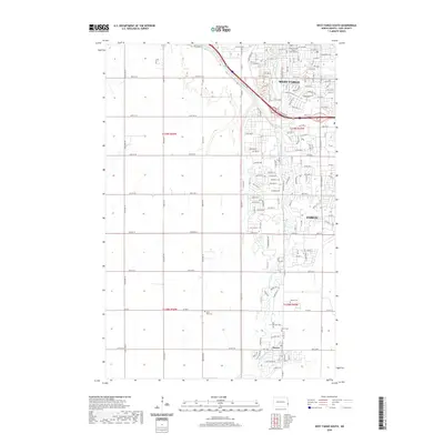 2020 West Fargo South2020 Print · USGSCovers Cass County, including Fargo, West Fargo, and other nearby areas
 - 2020 Map of West Fargo North, 2020 Print
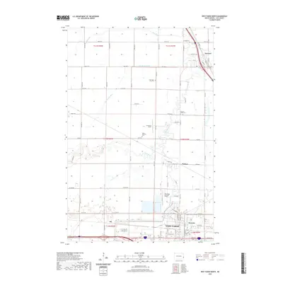 2020 West Fargo North2020 Print · USGSCovers Cass County, including Fargo, West Fargo, and other nearby areas
 - 2020 Map of Hickson, 2020 Print
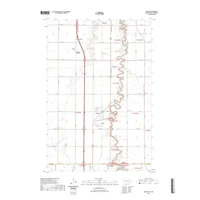 2020 Hickson2020 Print · USGSCovers Cass County, including Fargo, Horace, and other nearby areas
 - 2020 Map of Fargo North, 2020 Print
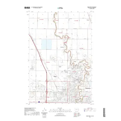 2020 Fargo North2020 Print · USGSCovers Cass County, including Fargo, West Fargo, and other nearby areas
 - 2020 Map of Fargo South, 2020 Print
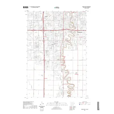 2020 Fargo South2020 Print · USGSCovers Cass County, including Fargo, West Fargo, and other nearby areas
 - 2020 Map of Durbin, 2020 Print
 2020 Durbin2020 Print · USGSCovers Cass County, including Casselton, Everest Township, and other nearby areas
 - 2020 Map of Leonard, 2020 Print
 2020 Leonard2020 Print · USGSCovers Cass County, including Leonard, Barrie Township, and other nearby areas
 - 2020 Map of Kindred, 2020 Print
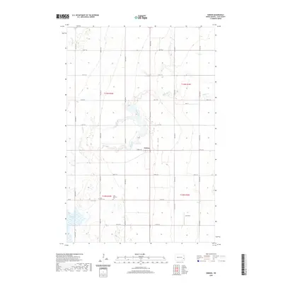
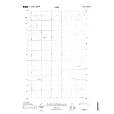
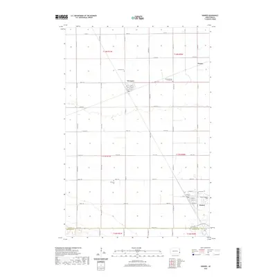 2020 Kindred2020 Print · USGSCovers Cass County, including Kindred, Davenport, and other nearby areas
 - 2020 Map of Alice, 2020 Print
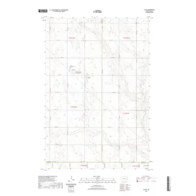
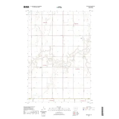
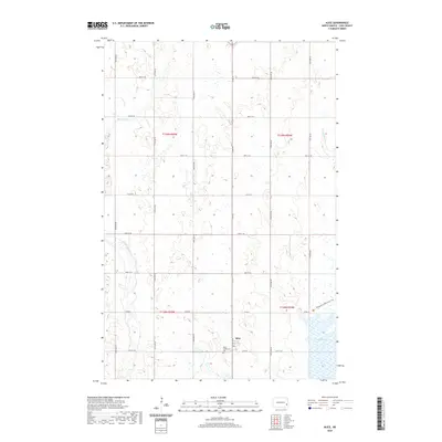 2020 Alice2020 Print · USGSCovers Cass County, including Alice, Eldred Township, and other nearby areas
 - 2020 Map of Embden, 2020 Print
 2020 Embden2020 Print · USGSCovers Cass County, including Eldred Township, Howes Township, and other nearby areas
 - 2020 Map of Wheatland, 2020 Print
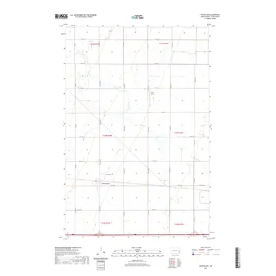 2020 Wheatland2020 Print · USGSCovers Cass County, including Wheatland, Everest Township, and other nearby areas
 - 2020 Map of Lucca, 2020 Print
 2020 Lucca2020 Print · USGSCovers Cass County, including Binghampton Township, Lucca, and other nearby areas
 - 2020 Map of Chaffee, 2020 Print
 2020 Chaffee2020 Print · USGSCovers Cass County, including Everest Township, Maple River Township, and other nearby areas
 - 2020 Map of Sheldon NW, 2020 Print
 2020 Sheldon NW2020 Print · USGSCovers Cass County, including Coburn Township, Eldred Township, and other nearby areas
 - 2020 Map of Tower City SW, 2020 Print
 2020 Tower City SW2020 Print · USGSCovers Cass County, including Binghampton Township, Springvale Township, and other nearby areas
 - 2020 Map of Sheldon NE, 2020 Print
 2020 Sheldon NE2020 Print · USGSCovers Cass County, including Leonard, Coburn Township, and other nearby areas
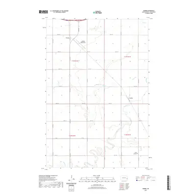
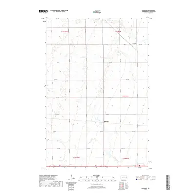
 - 2020 Map of Norman, 2020 Print
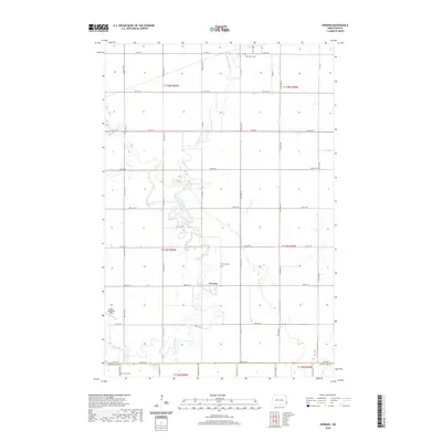 2020 Norman2020 Print · USGSCovers Cass County, including Horace, Kindred, and other nearby areas
 - 2020 Map of Tower City, 2020 Print
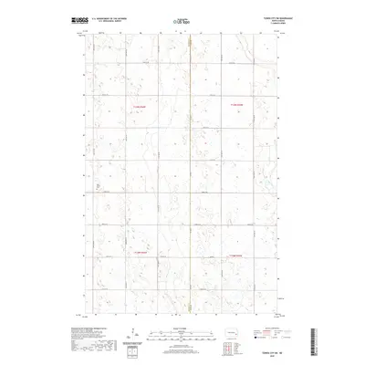
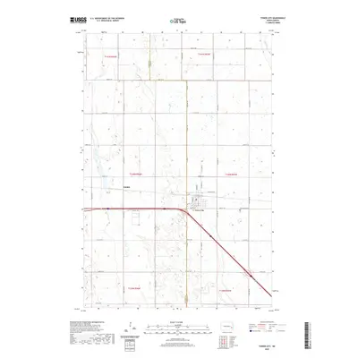 2020 Tower City2020 Print · USGSCovers Cass County, including Tower City, Cornell Township, and other nearby areas
 - 2020 Map of Argusville, 2020 Print
 2020 Argusville2020 Print · USGSCovers Cass County, including Argusville, Berlin Township, and other nearby areas
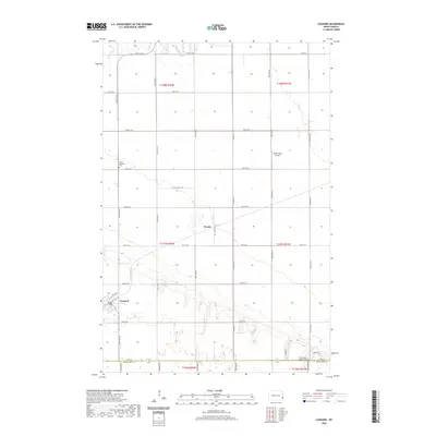
 - 2020 Map of Gardner, 2020 Print
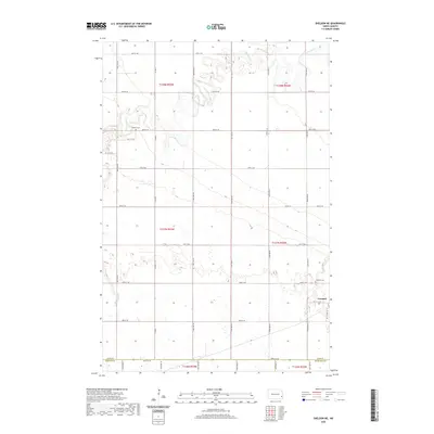
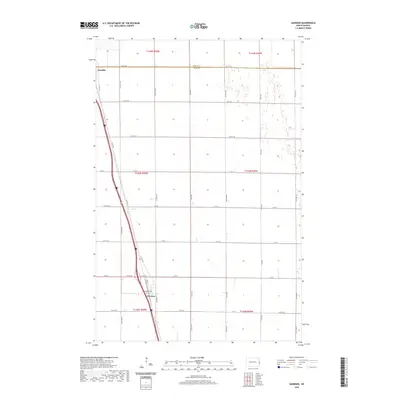 2020 Gardner2020 Print · USGSCovers Cass County, including Gardner, Noble Township, and other nearby areas
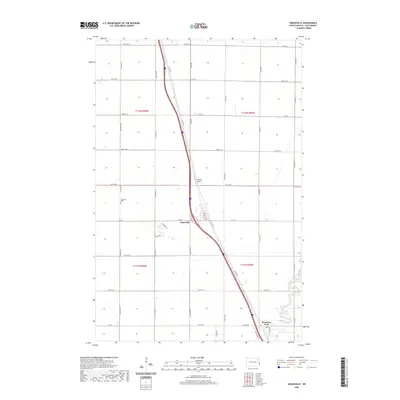
 - 2020 Map of Absaraka, 2020 Print
 2020 Absaraka2020 Print · USGSCovers Cass County, including Absaraka, Buffalo Township, and other nearby areas
 - 2020 Map of Casselton SE, 2020 Print
 2020 Casselton SE2020 Print · USGSCovers Cass County, including Durbin Township, Warren Township, and other nearby areas
 - 2020 Map of Buffalo, 2020 Print
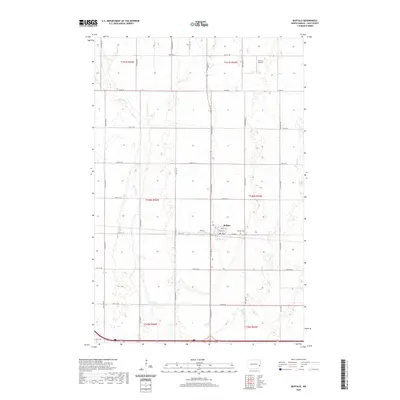 2020 Buffalo2020 Print · USGSCovers Cass County, including Buffalo, Buffalo Township, and other nearby areas
 - 2020 Map of Enderlin North, 2020 Print
 2020 Enderlin North2020 Print · USGSCovers Cass County, including Enderlin, Pontiac Township, and other nearby areas
 - 2020 Map of Casselton, 2020 Print
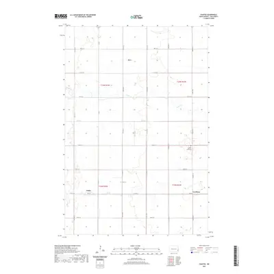
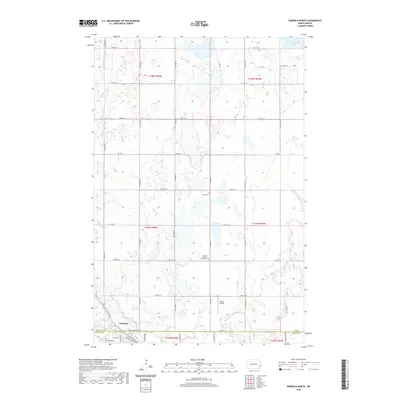
 2020 Casselton2020 Print · USGSCovers Cass County, including Casselton, Amenia, and other nearby areas
Showing maps 1-25 of 78
Top cities of Cass County
- Fargo historical maps
- West Fargo historical maps
- Casselton historical maps
- Horace historical maps
- Harwood historical maps
- Mapleton historical maps
See more
Frequently asked questions
- What are the different types of historical maps available for Cass County?
- What is the oldest map of Cass County?
- Where can I purchase historical maps of Cass County for my home or office?
- Where can I download high-res historical maps of Cass County?
- Are there historical topographic maps available for Cass County?
- Is there historical aerial imagery available for Cass County?
- Where are historical maps of Cass County sourced from?