2000s (21st Century) Maps of Fargo, North Dakota
Explore 25 historic maps of Fargo from the 2000s (21st Century). These maps offer a rare glimpse into what life looked like during the 2000s — showing old roads, neighborhoods, homes, and landmarks that have changed or disappeared over time.
Whether you're researching your family's past, planning a metal detecting trip, or studying how Fargo's landscape evolved across the 2000s, these high-resolution maps are a powerful tool for exploring the history of this region.
- Focus on a specific era: All maps on this page are from the 2000s, giving you a focused view of this time period.
- See what’s changed: Compare century-old streets, trails, and buildings to today's modern landscape using overlays and satellite layers.
- Research with precision: Use these maps for genealogy, historical research, land use analysis, or educational projects.
- View, download, or print: Maps are fully viewable online in high resolution, and can be downloaded or printed for your own records.
Start exploring Fargo's history through authentic maps from the 2000s. This is your window into the past.
Fargo, ND maps
(25)- 2011 Map of Hickson, 2011 Print
 2011 Hickson2011 Print · USGSCovers Fargo, including Horace, Oxbow, and other nearby areas
 - 2011 Map of West Fargo North, 2011 Print
 2011 West Fargo North2011 Print · USGSCovers Fargo, including West Fargo, Harwood, and other nearby areas
 - 2011 Map of West Fargo South, 2011 Print
 2011 West Fargo South2011 Print · USGSCovers Fargo, including West Fargo, Horace, and other nearby areas
 - 2011 Map of Fargo South, 2011 Print
 2011 Fargo South2011 Print · USGSCovers Fargo, including West Fargo, Moorhead, and other nearby areas
 - 2011 Map of Fargo North, 2011 Print
 2011 Fargo North2011 Print · USGSCovers Fargo, including West Fargo, Moorhead, and other nearby areas
 - 2014 Map of Fargo South, 2014 Print
 2014 Fargo South2014 Print · USGSCovers Fargo, including West Fargo, Moorhead, and other nearby areas
 - 2014 Map of Hickson, 2014 Print
 2014 Hickson2014 Print · USGSCovers Fargo, including Horace, Oxbow, and other nearby areas
 - 2014 Map of West Fargo North, 2014 Print
 2014 West Fargo North2014 Print · USGSCovers Fargo, including West Fargo, Harwood, and other nearby areas
 - 2014 Map of Fargo North, 2014 Print
 2014 Fargo North2014 Print · USGSCovers Fargo, including West Fargo, Moorhead, and other nearby areas
 - 2014 Map of West Fargo South, 2014 Print
 2014 West Fargo South2014 Print · USGSCovers Fargo, including West Fargo, Horace, and other nearby areas
 - 2017 Map of West Fargo North, 2017 Print
 2017 West Fargo North2017 Print · USGSCovers Fargo, including West Fargo, Harwood, and other nearby areas
 - 2017 Map of West Fargo South, 2017 Print
 2017 West Fargo South2017 Print · USGSCovers Fargo, including West Fargo, Horace, and other nearby areas
 - 2018 Map of Hickson, 2018 Print
 2018 Hickson2018 Print · USGSCovers Fargo, including Horace, Oxbow, and other nearby areas
 - 2018 Map of Fargo North, 2018 Print
 2018 Fargo North2018 Print · USGSCovers Fargo, including West Fargo, Moorhead, and other nearby areas
 - 2018 Map of Fargo South, 2018 Print
 2018 Fargo South2018 Print · USGSCovers Fargo, including West Fargo, Moorhead, and other nearby areas
 - 2020 Map of West Fargo South, 2020 Print
 2020 West Fargo South2020 Print · USGSCovers Fargo, including West Fargo, Horace, and other nearby areas
 - 2020 Map of West Fargo North, 2020 Print
 2020 West Fargo North2020 Print · USGSCovers Fargo, including West Fargo, Harwood, and other nearby areas
 - 2020 Map of Hickson, 2020 Print
 2020 Hickson2020 Print · USGSCovers Fargo, including Horace, Oxbow, and other nearby areas
 - 2020 Map of Fargo North, 2020 Print
 2020 Fargo North2020 Print · USGSCovers Fargo, including West Fargo, Moorhead, and other nearby areas
 - 2020 Map of Fargo South, 2020 Print
 2020 Fargo South2020 Print · USGSCovers Fargo, including West Fargo, Moorhead, and other nearby areas
 - 2024 Map of Fargo North, 2024 Print
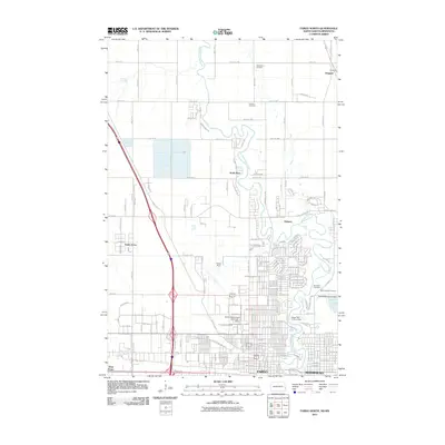
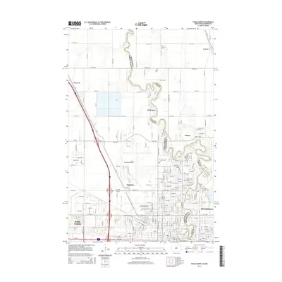
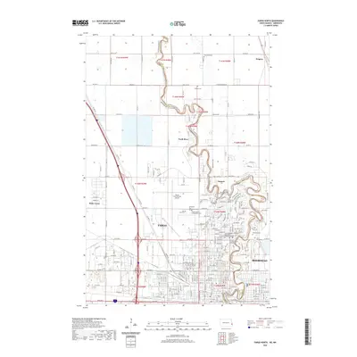
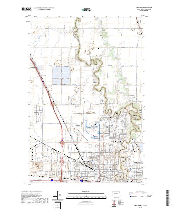 2024 Fargo North2024 Print · USGSFargo and Moorhead flank the winding Red River in this recent survey of the North Dakota-Minnesota borderlands. Genealogists and historians can locate numerous burial grounds like Springvale Cem and Oak Mound Cem, alongside the North Dakota State University campus.
 - 2024 Map of Fargo South, 2024 Print
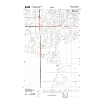
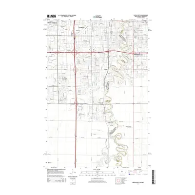
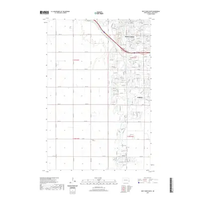
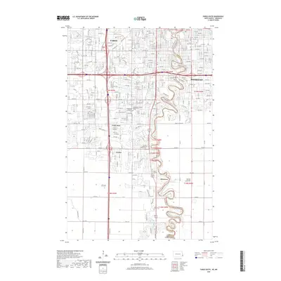
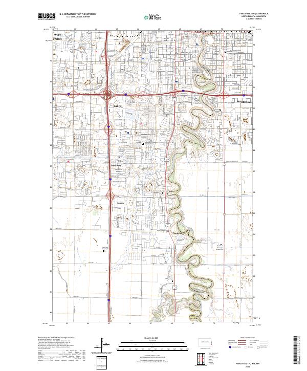 2024 Fargo South2024 Print · USGSThe Fargo-Moorhead borderlands in the early 2020s show a sophisticated urban corridor anchored by the Red River of the North. Researchers can trace the development of institutional landmarks like Concordia College and numerous historic grounds including Riverside Cem.
 - 2024 Map of Hickson, 2024 Print
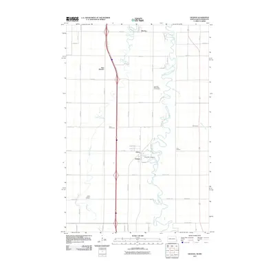
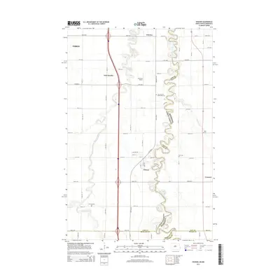
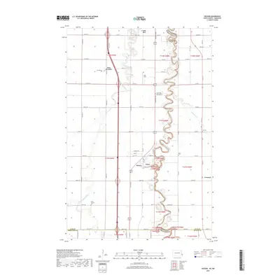
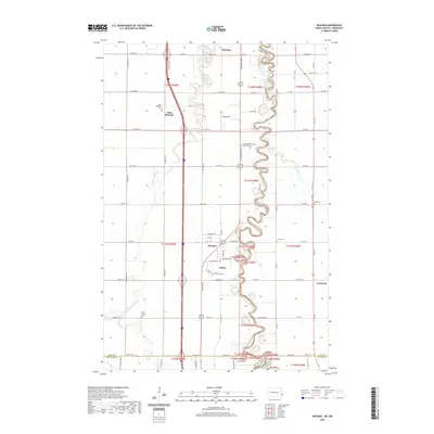
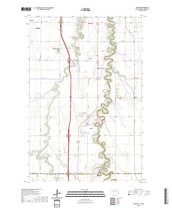 2024 Hickson2024 Print · USGSThe Red River Valley south of Fargo is captured here in detail, showcasing the winding river border and rural townships. Researchers can trace local genealogy through several historic burial sites, including Saint Benedict Cemetery, Hoff Cemetery, and Clara Cemetery.
 - 2024 Map of West Fargo North, 2024 Print
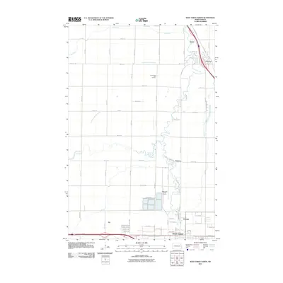
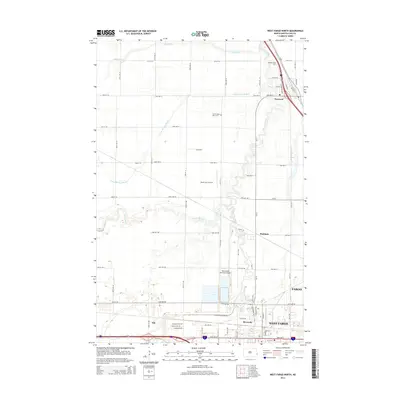
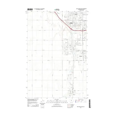
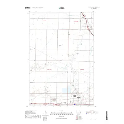
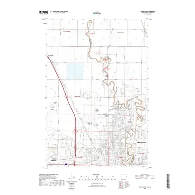
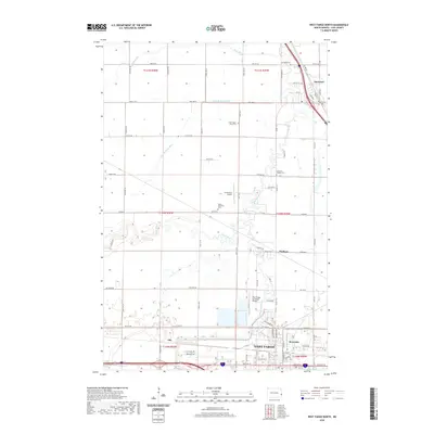
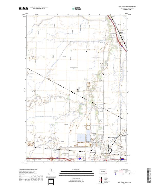 2024 West Fargo North2024 Print · USGSWest Fargo and the Sheyenne River valley are shown here at a moment of significant regional growth. Researchers can trace local heritage through sites like the Fargo National Cem, Harwood, and the pioneer history of Pinkham.
 - 2024 Map of West Fargo South, 2024 Print
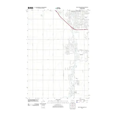
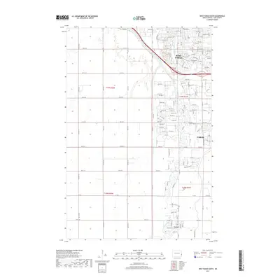
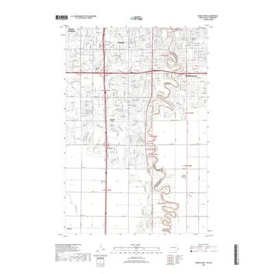
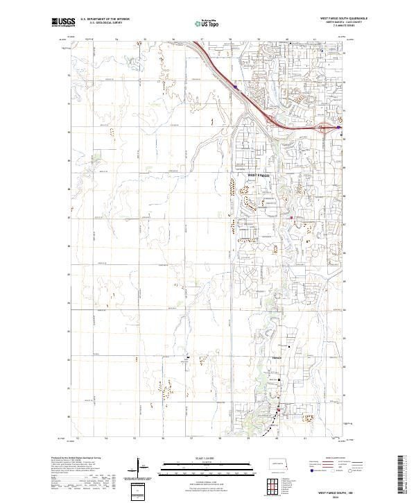 2024 West Fargo South2024 Print · USGSModern Cass County is defined here by the suburban growth of West Fargo and Horace along the Sheyenne River. Researchers can trace current property developments alongside older landmarks like Brink Cem, Saint John Cem, and Horace Cem.
End of results
Showing maps 1-25 of 25
Top cities near Fargo
- West Fargo historical maps
- Moorhead historical maps
- Dilworth historical maps
- Horace historical maps
- Harwood historical maps
- Mapleton historical maps
See more
Top neighborhoods of Fargo
- Riviera Heights historical maps
- Riverwood 1922 1st Addition historical maps
- Woodcrest Addition historical maps
- Woodcrest Park Addition historical maps
- Stonebridge Farms 1st Addition historical maps
- Stonebridge Farms 2nd Addition historical maps
See more
Frequently asked questions
- What are the different types of historical maps available for Fargo?
- What is the oldest map of Fargo?
- Where can I purchase historical maps of Fargo for my home or office?
- Where can I download high-res historical maps of Fargo?
- Are there historical topographic maps available for Fargo?
- Is there historical aerial imagery available for Fargo?
- Where are historical maps of Fargo sourced from?