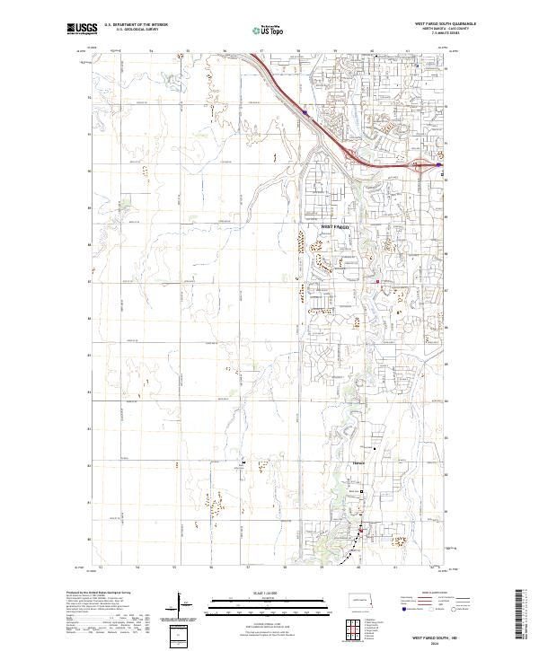
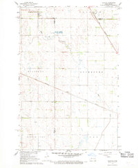
2024 Map of West Fargo South
USGS Topo · Published 2024About this map
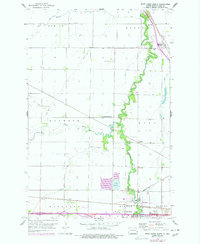
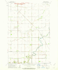
West Fargo and the city of Horace are the focal points of this 2024 survey, capturing a landscape of rapid suburban expansion along the winding Sheyenne River. The map documents the intricate network of new residential developments, identified by a dense grid of local streets and arterial roads like Veterans Blvd and Main Ave W. While much of the terrain is now dominated by the expanding footprint of the Fargo metropolitan area, older land markers remain preserved on the landscape.
Find a feature on this map
27 named features on this map. Tap any name to fly to it.
Don’t see what you’re looking for? This feature index may not catch every label — zoom into the map to look around manually.
Map Details
Editions of this 2024 West Fargo South Map
This is the sole edition of this map. No revisions or reprints were ever made.
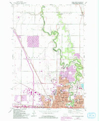
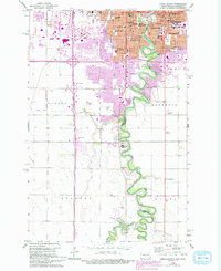
Historical Maps of Fargo Through Time
40 maps found
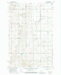
1959 Fargo North
Cass County, ND
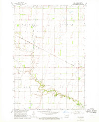
1959 Fargo South
Cass County, ND
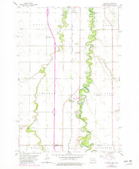
1959 Hickson
Cass County, ND
1959 Norman
Cass County, ND
1959 West Fargo North
Cass County, ND
1959 West Fargo South
Cass County, ND
1961 Casselton SE
Cass County, ND
1961 Durbin
Cass County, ND

1961 Enderlin North
Cass County, ND

1961 Sheldon NE
Cass County, ND

1961 Sheldon NW
Cass County, ND
1966 Arthur SE
Cass County, ND
1967 Absaraka
Cass County, ND
1967 Ayr NE
Cass County, ND
1967 Ayr NW
Cass County, ND
1967 Ayr SE
Cass County, ND
1967 Chaffee
Cass County, ND
1967 Colgate
Cass County, ND

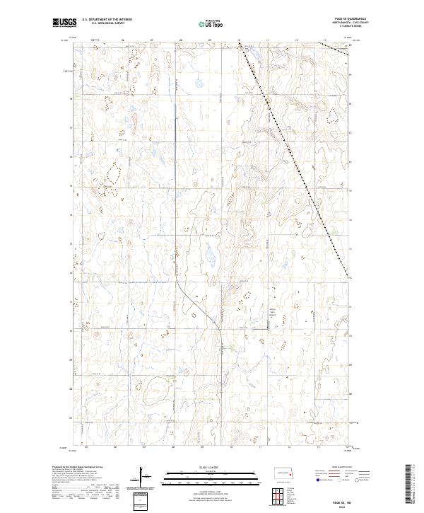
1967 Page SE
Cass County, ND
1967 Page SW
Cass County, ND
2024 Absaraka
Cass County, ND
2024 Arthur SE
Cass County, ND
2024 Ayr NE
Cass County, ND
2024 Ayr NW
Cass County, ND
2024 Ayr SE
Cass County, ND
2024 Casselton SE
Cass County, ND
2024 Chaffee
Cass County, ND
2024 Colgate
Cass County, ND
2024 Durbin
Cass County, ND
2024 Enderlin North
Cass County, ND
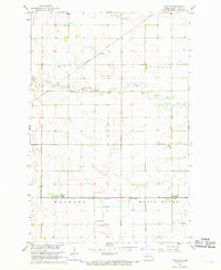
2024 Fargo North
Cass County, ND
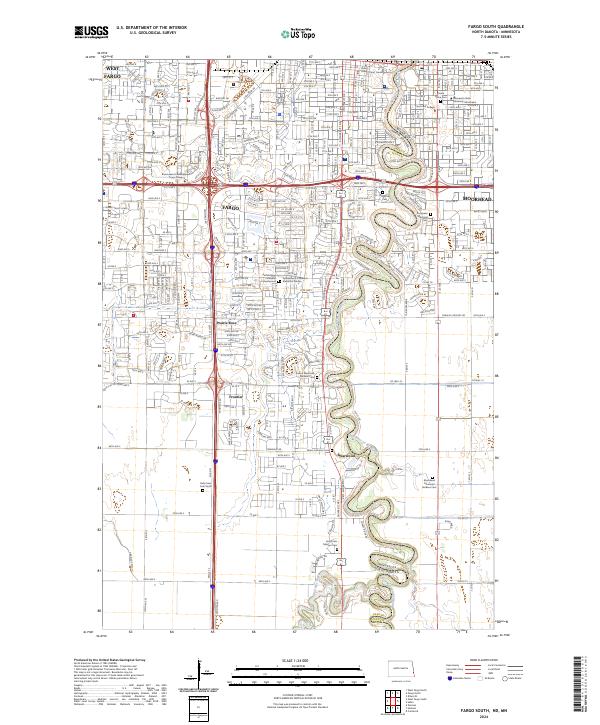
2024 Fargo South
Cass County, ND
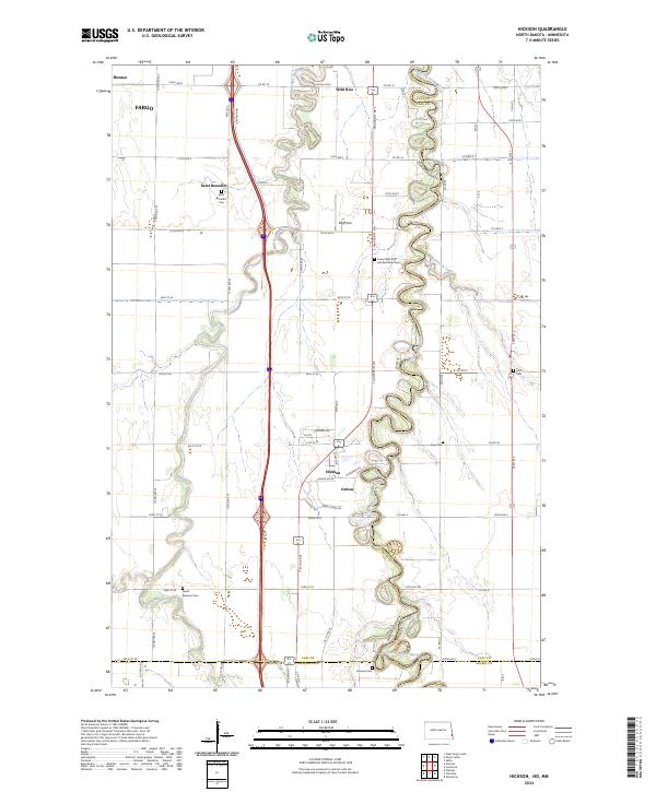
2024 Hickson
Cass County, ND
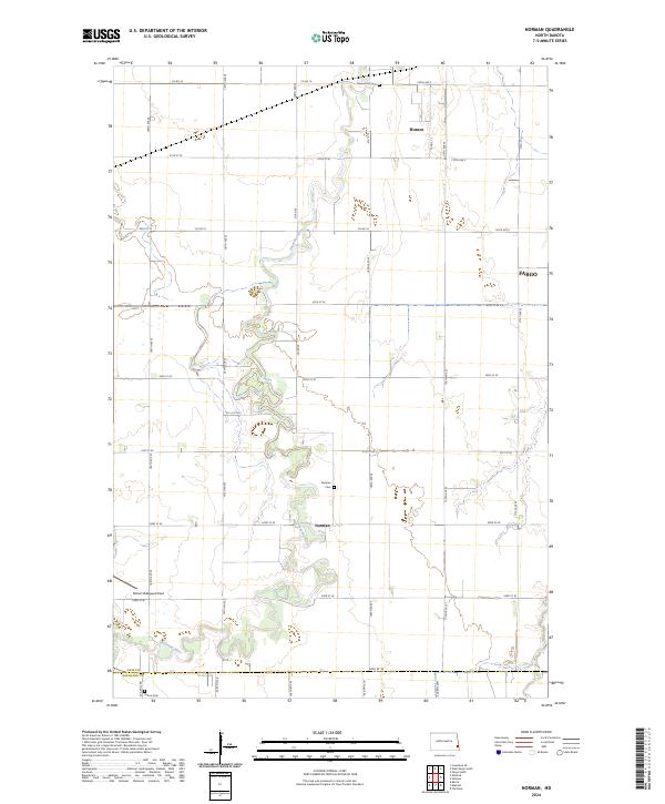
2024 Norman
Cass County, ND
2024 Page SE
Cass County, ND
2024 Page SW
Cass County, ND
2024 Sheldon NE
Cass County, ND
2024 Sheldon NW
Cass County, ND
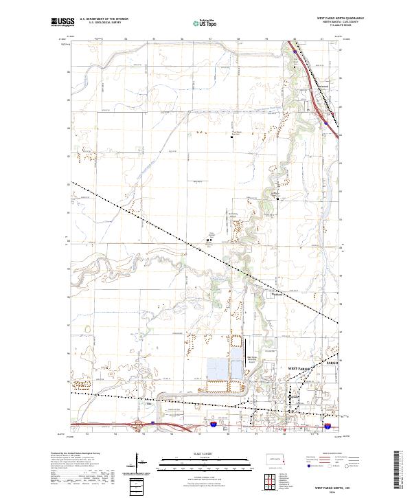
2024 West Fargo North
Cass County, ND
2024 West Fargo South
Cass County, ND