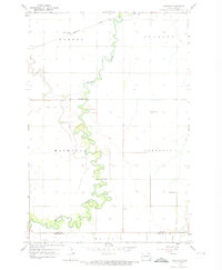
1959 Map of Norman
USGS Topo · Published 1974About this map
The Sheyenne River meanders sharply through this Red River Valley landscape, its tightly looped oxbows defining the border between Normanna and Pleasant townships. This 1959 survey captures a rural landscape organized by the section line grid, where the small community of Norman serves as a local anchor near the Norman Cem. The northern portion of the sheet is traversed by the Northern Pacific railroad, which cuts a straight line across Warren and Stanley townships, contrasting with the river’s erratic natural course.
Find a feature on this map
16 named features on this map. Tap any name to fly to it.
Don’t see what you’re looking for? This feature index may not catch every label — zoom into the map to look around manually.
Map Details
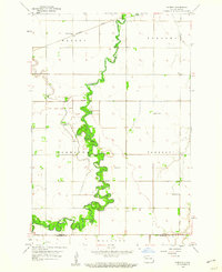
Editions of this 1959 Norman Map
2 editions found
Other maps of this area

1895 · Fargo
USGS Topo · 1:125,000

1895 · Casselton
USGS Topo · 1:125,000

1897 · Fargo
USGS Topo · 1:125,000

1897 · Casselton
USGS Topo · 1:125,000

1953 · Fargo
USGS Topo · 1:250,000

1956 · Fargo
USGS Topo · 1:250,000

1959 · Kindred
USGS Topo · 1:24,000

1959 · South West Fargo
USGS Topo · 1:24,000

1959 · Fargo South
USGS Topo · 1:24,000

1959 · Hickson
USGS Topo · 1:24,000