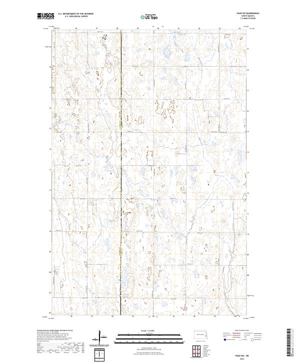
2024 Map of Page SW
USGS Topo · Published 2024About this map
Barnes Co and Cass Co meet along a north-south divide in this rural prairie landscape, where the meandering course of the Maple River provides the primary relief in an otherwise strictly gridded section-line environment. This 2024 survey captures a moment in contemporary North Dakota land use, defined by the intersection of townships T142N R56W and T142N R55W. The map illustrates a high degree of agricultural organization, with the township and range system manifested in a dense network of local roads like 20th St SE and 130th Ave SE. The presence of Co Rd 1 highlights a key north-south corridor through the eastern portion of the quadrangle. For those studying the hydrology of the Red River Valley watershed, the intricate drainage patterns feeding the Maple River offer insight into the natural drainage of the eastern Dakota plains.
Find a feature on this map
22 named features on this map. Tap any name to fly to it.
Don’t see what you’re looking for? This feature index may not catch every label — zoom into the map to look around manually.
Map Details
Editions of this 2024 Page SW Map
This is the sole edition of this map. No revisions or reprints were ever made.
Other maps of this area

1897 · Tower
USGS Topo · 1:125,000

1952 · Grand Forks
USGS Topo · 1:250,000

1953 · Fargo
USGS Topo · 1:250,000

1956 · Fargo
USGS Topo · 1:250,000

1956 · Grand Forks
USGS Topo · 1:250,000

1966 · Grand Forks
USGS Topo · 1:250,000

1967 · Tower City
USGS Topo · 1:24,000

1967 · Pillsbury SE
USGS Topo · 1:24,000

1967 · Page SE
USGS Topo · 1:24,000

1967 · Page
USGS Topo · 1:24,000