Old Maps of Grassna, North Dakota for Metal Detecting
Plan your next treasure hunt with 9 historic maps of Grassna. Find old homesites, ghost towns, trails, and gathering spots that may be lost to time — perfect for identifying promising metal detecting locations.
- Locate forgotten sites: Uncover places like long-lost settlements, abandoned rail lines, or gathering spots.
- Plan better hunts: Use map overlays combined with LiDAR or satellite views to narrow in on historically rich areas.
- Made for detectorists: Thousands of hobbyists use these maps to discover relics, coins, and hidden history.
Use these historic maps to boost your research and find new opportunities beneath the surface of Grassna.
Grassna, ND maps
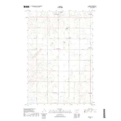
(9)- 1954 Map of Bismarck, 1967 Print
 1954 Bismarck1967 Print · USGSBismarck and the Missouri River basin are shown in the mid-1960s as the Oahe Reservoir reshaped the valley. Genealogists can trace family-named landmarks like Dog Tooth Buttes and small prairie settlements such as Fort Yates, Selfridge, and Brisbane.2 unique versions available
 - 1958 Map of Bismarck
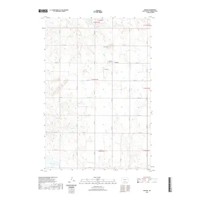
 1958 Bismarck1958 Print · USGSCentral North Dakota in the late fifties is defined by the Missouri River and the sprawling Standing Rock Indian Reservation. Genealogists and historians can trace rail-line outposts like Sedalia Siding or explore local landmarks like Saint Anthony and Fort Lincoln State Park/Museum.
 - 1971 Map of Grassna, 1973 Print
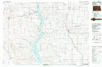
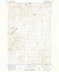 1971 Grassna1973 Print · USGSEmmons County farming country is shown here in the early seventies, centered on the small prairie settlement of Grassna. Researchers can locate the Holy Trinity Ch and trace the paths of Little Beaver Creek and Cattail Creek through the local buttes.
 - 1980 Map of Linton
 1980 Linton1980 Print · USGSThe Missouri River corridor in the early eighties serves as a backdrop for the sprawling Standing Rock Indian Reservation and Missouri plateau farm towns. Researchers can trace historic railroad routes like the Burlington Northern and find local landmarks such as Fort Yates, Solen, and Winona Flats.
 - 2011 Map of Grassna, 2011 Print
 2011 Grassna2011 Print · USGSCovers Grassna, including Emmons County, United States, and other nearby areas
 - 2014 Map of Grassna, 2014 Print
 2014 Grassna2014 Print · USGSCovers Grassna, including Emmons County, United States, and other nearby areas
 - 2018 Map of Grassna, 2018 Print
 2018 Grassna2018 Print · USGSCovers Grassna, including Emmons County, United States, and other nearby areas
 - 2020 Map of Grassna, 2020 Print
 2020 Grassna2020 Print · USGSCovers Grassna, including Emmons County, United States, and other nearby areas
 - 2024 Map of Grassna, 2024 Print
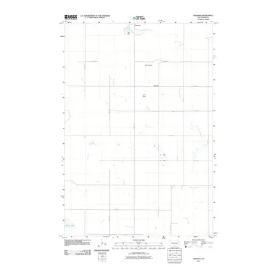
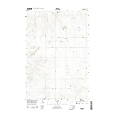
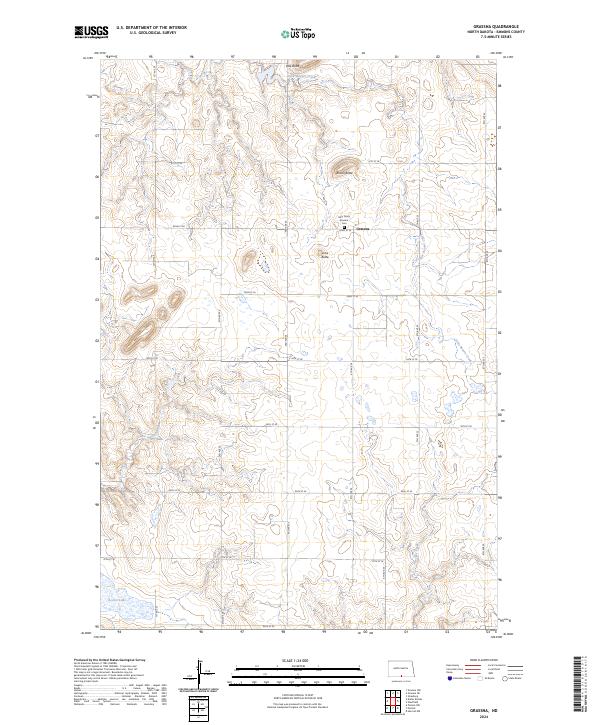 2024 Grassna2024 Print · USGSThe rural prairie landscape of Emmons County is meticulously detailed in this recent survey. Local historians and genealogists can pinpoint the historic Holy Trinity Krassna Cem and trace the drainage patterns of Little Beaver Creek and Cattail Creek.
End of results
Showing maps 1-9 of 9
Top cities near Grassna
Frequently asked questions
- What are the different types of historical maps available for Grassna?
- What is the oldest map of Grassna?
- Where can I purchase historical maps of Grassna for my home or office?
- Where can I download high-res historical maps of Grassna?
- Are there historical topographic maps available for Grassna?
- Is there historical aerial imagery available for Grassna?
- Where are historical maps of Grassna sourced from?