Old Maps of Sentinel Township, North Dakota for Genealogy
Trace your family roots with 43 historic maps of Sentinel Township. These high-res maps reveal old neighborhoods, homesites, landmarks, and streets — helping you uncover where your ancestors lived and how the area evolved over time.
- Explore historic neighborhoods: Identify where your relatives may have lived in the 1800s or 1900s.
- Compare maps over time: Trace the changes in streets, buildings, and landmarks for multi-generational research.
- Perfect for genealogy & ancestry research: Used by family historians and researchers to map out lineage and migration.
These maps are an incredible resource for exploring your personal connection to Sentinel Township's past.
Sentinel Township, ND maps
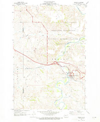
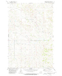
(43)- 1953 Map of Dickinson, 1968 Print
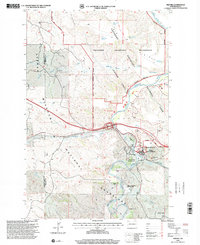
 1953 Dickinson1968 Print · USGSWestern North Dakota in the fifties remains a landscape of rail-linked prairie towns and rugged badlands. Trace the local impact of the Northern Pacific railroad through Dickinson or locate early rural landmarks like Rainy Butte Church and Boys Ranch.2 unique versions available
 - 1957 Map of Dickinson
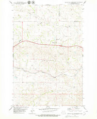
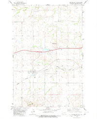
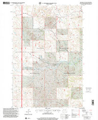
 1957 Dickinson1957 Print · USGSSouthwestern North Dakota in the mid-fifties is a landscape of coal mining and tight-knit rural school districts. Genealogists can trace family footprints through numerous country schools like Fisher School and parish churches like St Stephens.
 - 1970 Map of Medora, 1973 Print
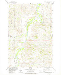
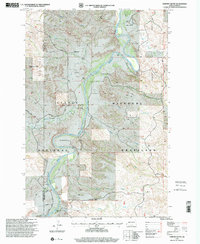
 1970 Medora1973 Print · USGSMedora and the surrounding badlands are captured here during the early seventies as the region balanced its ranching roots with growing tourism. Researchers can trace the legacy of the Marquis de Mores at the Chateau de Mores or locate the Medora Cem and the winding Little Missouri River.
 - 1979 Map of Sentinel Butte SE
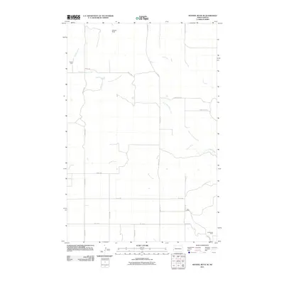
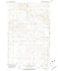 1979 Sentinel Butte SE1979 Print · USGSThe high plains of Golden Valley County come into focus during the late 1970s, showing a landscape of deep creek forks and scattered ranching infrastructure. Researchers can locate remote landmarks like the Landing Strip and named rural routes such as Garner Creek Road.
 - 1979 Map of Buffalo Gap Campground
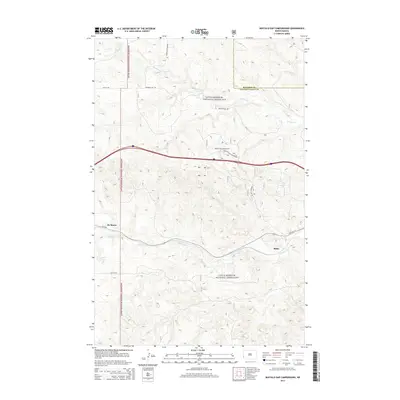
 1979 Buffalo Gap Campground1979 Print · USGSThe North Dakota badlands at the edge of Golden Valley and Billings counties are captured here in the late seventies. You can trace the Burlington Northern rail line through Rider or locate the Buffalo Gap Campground and local Oil Well sites.
 - 1979 Map of Chimney Butte, 1980 Print
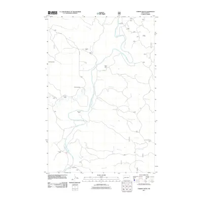
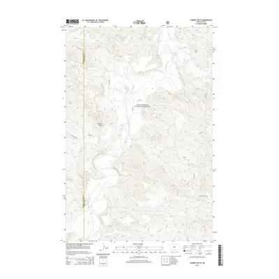
 1979 Chimney Butte1980 Print · USGSThe North Dakota Badlands come into sharp focus in the late seventies, showing the rugged topography where the Little Missouri River meets an expanding oil industry. Researchers can trace land use through scattered Oil Wells and find geographic landmarks like Chimney Butte and Tracy Mtn.
 - 1979 Map of Square Butte, 1980 Print
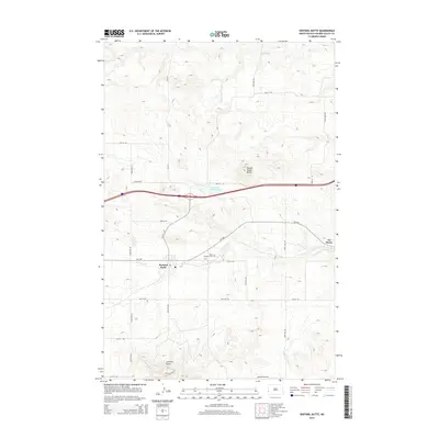
 1979 Square Butte1980 Print · USGSGolden Valley County in the late seventies was a landscape of high buttes and rural energy development. Genealogists and historians can trace the paths of South Square Butte Road and locate various Oil Wells and landmarks like Square Butte.
 - 1980 Map of Sentinel Butte
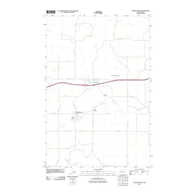
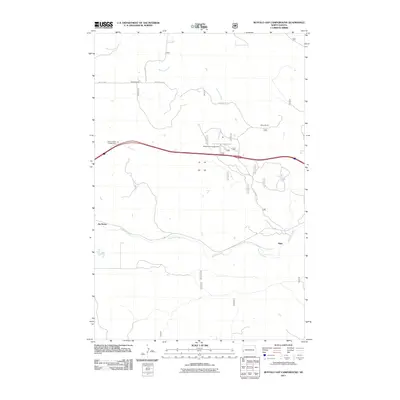
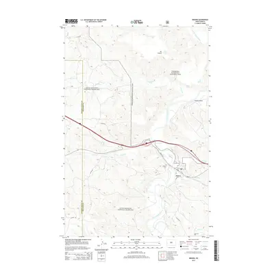
 1980 Sentinel Butte1980 Print · USGSSentinel Butte and the surrounding high plains are captured here in the early 1980s as the rail and highway corridor dominated the landscape. Genealogists and local historians can locate St Michaels Cem, the settlement of Delhi, and landmarks like Camels Hump Butte.
 - 1980 Map of Belfield, 1981 Print
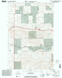
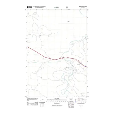
 1980 Belfield1981 Print · USGSThe North Dakota badlands and the Little Missouri River valley are captured here in the early eighties as energy development and conservation shaped the land. Genealogists and researchers can trace the rail corridor through Medora, Sully Springs, and Beach, or locate early industrial sites like Ridl Mine and the Fryburg Oil Field.
 - 1997 Map of Buffalo Gap Campground, 2001 Print
 1997 Buffalo Gap Campground2001 Print · USGSThe high plains of Golden Valley County come to life in this late-nineties survey of the Little Missouri National Grassland. Genealogists and historians can trace local family landholdings at Durha Ranch and Golberg Ranch or locate the site of Rider.
 - 1997 Map of Medora, 2001 Print
 1997 Medora2001 Print · USGSThe Badlands of western North Dakota come into sharp focus in the late nineties, where the cattle industry meets federal conservation land. Trace the heritage of the region through the Chateau de Mores, Medora Cem, and local landmarks like Tescher Ranch.
 - 1997 Map of Square Butte, 2001 Print
 1997 Square Butte2001 Print · USGSGolden Valley County in the late nineties is a landscape of rugged buttes and active energy production. Researchers can trace the ranching history of Olstad Ranch or locate infrastructure within the Square Butte Oil Field and the Little Missouri National Grassland.
 - 1997 Map of Chimney Butte, 2001 Print
 1997 Chimney Butte2001 Print · USGSBillings County and the Little Missouri Badlands are captured here in the late nineties, showing a landscape defined by historic cattle ranching. Researchers can locate legacy homesteads like Custer Trail Ranch and Maltese Cross Ranch or track early energy development at scattered Oil Wells.
 - 2011 Map of Square Butte, 2011 Print
 2011 Square Butte2011 Print · USGSCovers Sentinel Township, including Garner Township, Golden Valley County, and other nearby areas
 - 2011 Map of Sentinel Butte, 2011 Print
 2011 Sentinel Butte2011 Print · USGSCovers Sentinel Township, including Sentinel Butte, Beach Township, and other nearby areas
 - 2011 Map of Medora, 2011 Print
 2011 Medora2011 Print · USGSCovers Sentinel Township, including Medora, Billings County, and other nearby areas
 - 2011 Map of Chimney Butte, 2011 Print
 2011 Chimney Butte2011 Print · USGSCovers Sentinel Township, including Billings County, Golden Valley County, and other nearby areas
 - 2011 Map of Sentinel Butte SE, 2011 Print
 2011 Sentinel Butte SE2011 Print · USGSCovers Sentinel Township, including Beach Township, Garner Township, and other nearby areas
 - 2011 Map of Buffalo Gap Campground, 2011 Print
 2011 Buffalo Gap Campground2011 Print · USGSCovers Sentinel Township, including De Mores, Rider, and other nearby areas
 - 2014 Map of Sentinel Butte, 2014 Print
 2014 Sentinel Butte2014 Print · USGSCovers Sentinel Township, including Sentinel Butte, Beach Township, and other nearby areas
 - 2014 Map of Sentinel Butte SE, 2014 Print
 2014 Sentinel Butte SE2014 Print · USGSCovers Sentinel Township, including Beach Township, Garner Township, and other nearby areas
 - 2014 Map of Square Butte, 2014 Print
 2014 Square Butte2014 Print · USGSCovers Sentinel Township, including Garner Township, Golden Valley County, and other nearby areas
 - 2014 Map of Medora, 2014 Print
 2014 Medora2014 Print · USGSCovers Sentinel Township, including Medora, Billings County, and other nearby areas
 - 2014 Map of Buffalo Gap Campground, 2014 Print
 2014 Buffalo Gap Campground2014 Print · USGSCovers Sentinel Township, including De Mores, Rider, and other nearby areas
 - 2014 Map of Chimney Butte, 2014 Print
 2014 Chimney Butte2014 Print · USGSCovers Sentinel Township, including Billings County, Golden Valley County, and other nearby areas
Showing maps 1-25 of 43
Top cities near Sentinel Township
Top neighborhoods of Sentinel Township
Frequently asked questions
- What are the different types of historical maps available for Sentinel Township?
- What is the oldest map of Sentinel Township?
- Where can I purchase historical maps of Sentinel Township for my home or office?
- Where can I download high-res historical maps of Sentinel Township?
- Are there historical topographic maps available for Sentinel Township?
- Is there historical aerial imagery available for Sentinel Township?
- Where are historical maps of Sentinel Township sourced from?