Old Maps of Mott, North Dakota for Academic Research
Study the evolution of Mott with 15 high-resolution historic maps. Whether you're teaching, researching, or modeling changes in land use, these maps provide essential visual documentation of urban, environmental, and geographic change.
- Analyze long-term change: Track patterns in development, transportation, and natural features.
- Ideal for environmental or urban studies: Support academic projects with primary historical map data.
- Use in the classroom or lab: Educators and researchers rely on these maps to bring historical context to life.
These maps are a powerful tool for teaching, research, and visualizing how Mott has changed over the decades.
Mott, ND maps
(15)- 1953 Map of Dickinson, 1968 Print
 1953 Dickinson1968 Print · USGSWestern North Dakota in the fifties remains a landscape of rail-linked prairie towns and rugged badlands. Trace the local impact of the Northern Pacific railroad through Dickinson or locate early rural landmarks like Rainy Butte Church and Boys Ranch.2 unique versions available
 - 1957 Map of Dickinson
 1957 Dickinson1957 Print · USGSSouthwestern North Dakota in the mid-fifties is a landscape of coal mining and tight-knit rural school districts. Genealogists can trace family footprints through numerous country schools like Fisher School and parish churches like St Stephens.
 - 1966 Map of Mott South, 1967 Print
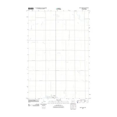
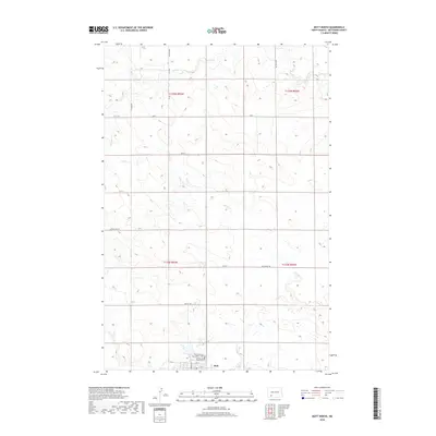
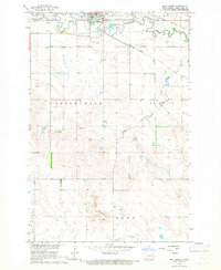 1966 Mott South1967 Print · USGSHettinger County in the mid-sixties shows the town of Mott as a critical rail and river hub for the surrounding ranchlands. Genealogists and historians can trace the local infrastructure of the era, from the Fairground to the tracks of the Northern Pacific.
 - 1966 Map of Mott North, 1967 Print
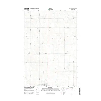
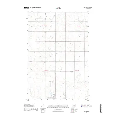
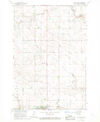 1966 Mott North1967 Print · USGSHettinger County, North Dakota, is documented here in the mid-1960s as the town of Mott thrived along the Missouri River Basin. Genealogists and local historians can trace the Milwaukee Road railroad, locate the Sunny Slope Cem, and follow Spring Creek through the prairie.
 - 1980 Map of Mott, 1981 Print
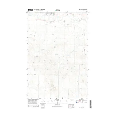
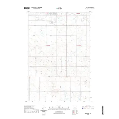
 1980 Mott1981 Print · USGSThe North Dakota plains around the turn of the 1980s reveal a landscape of river-valley farming and critical rail connections. Researchers can trace the path of the Milwaukee Road through Bucyrus or locate landmarks like East Rainy Butte and Tepee Buttes.
 - 2011 Map of Mott South, 2011 Print
 2011 Mott South2011 Print · USGSCovers Mott, including Hettinger County, United States, and other nearby areas
 - 2011 Map of Mott North, 2011 Print
 2011 Mott North2011 Print · USGSCovers Mott, including Hettinger County, United States, and other nearby areas
 - 2014 Map of Mott North, 2014 Print
 2014 Mott North2014 Print · USGSCovers Mott, including Hettinger County, United States, and other nearby areas
 - 2014 Map of Mott South, 2014 Print
 2014 Mott South2014 Print · USGSCovers Mott, including Hettinger County, United States, and other nearby areas
 - 2018 Map of Mott South, 2018 Print
 2018 Mott South2018 Print · USGSCovers Mott, including Hettinger County, United States, and other nearby areas
 - 2018 Map of Mott North, 2018 Print
 2018 Mott North2018 Print · USGSCovers Mott, including Hettinger County, United States, and other nearby areas
 - 2020 Map of Mott North, 2020 Print
 2020 Mott North2020 Print · USGSCovers Mott, including Hettinger County, United States, and other nearby areas
 - 2020 Map of Mott South, 2020 Print
 2020 Mott South2020 Print · USGSCovers Mott, including Hettinger County, United States, and other nearby areas
 - 2024 Map of Mott South, 2024 Print
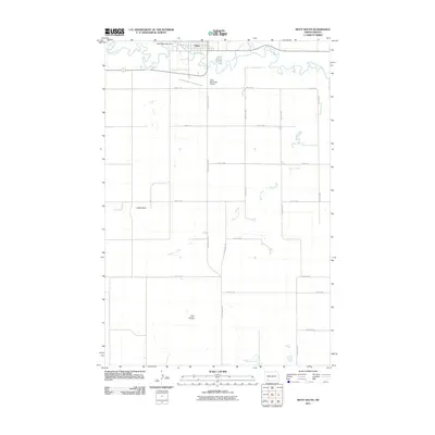
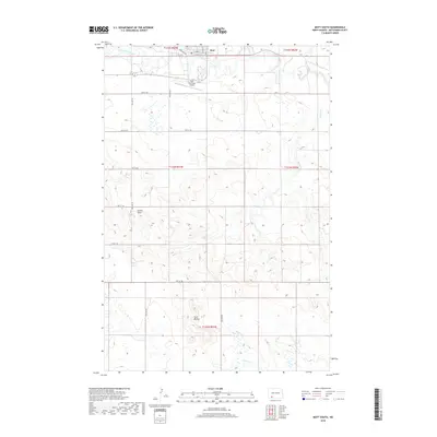
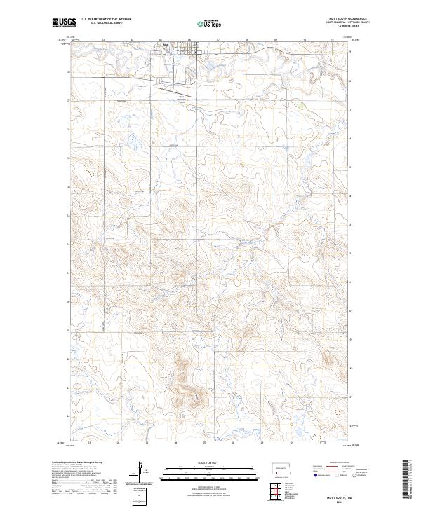 2024 Mott South2024 Print · USGSThe community of Mott and the surrounding Hettinger County prairie are captured here in the early twenty-first century. Genealogists and local historians can trace the town's street grid along Railroad Ave and identify rural landmarks like Gert Buttes and the Cannonball River.
 - 2024 Map of Mott North, 2024 Print
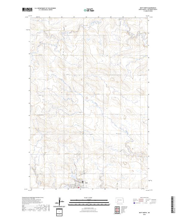 2024 Mott North2024 Print · USGSThe Hettinger County plains come into focus in this contemporary survey of the area surrounding Mott. Researchers can trace the Cannonball River and locate family history sites like the Saint Vincents Catholic Cem and Mott Sunny Slope Cem.
End of results
Showing maps 1-15 of 15
Frequently asked questions
- What are the different types of historical maps available for Mott?
- What is the oldest map of Mott?
- Where can I purchase historical maps of Mott for my home or office?
- Where can I download high-res historical maps of Mott?
- Are there historical topographic maps available for Mott?
- Is there historical aerial imagery available for Mott?
- Where are historical maps of Mott sourced from?