Old Maps of Towner, North Dakota for Academic Research
Study the evolution of Towner with 9 high-resolution historic maps. Whether you're teaching, researching, or modeling changes in land use, these maps provide essential visual documentation of urban, environmental, and geographic change.
- Analyze long-term change: Track patterns in development, transportation, and natural features.
- Ideal for environmental or urban studies: Support academic projects with primary historical map data.
- Use in the classroom or lab: Educators and researchers rely on these maps to bring historical context to life.
These maps are a powerful tool for teaching, research, and visualizing how Towner has changed over the decades.
Towner, ND maps
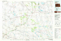
(9)- 1950 Map of Towner
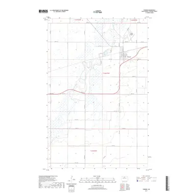
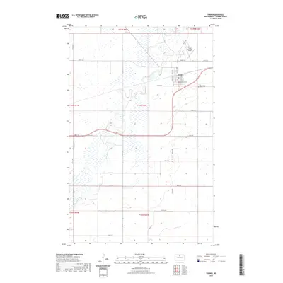
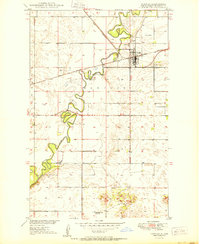 1950 Towner1950 Print · USGSTowner and the winding Souris River valley are captured in detail just after the war, showing a rural North Dakota hub defined by its rail and river connections. Researchers can trace the mid-century layout of Towner, locating the local School No 1, the Great Northern tracks, and the Eaton Dam.2 unique versions available
 - 1954 Map of Minot, 1964 Print
 1954 Minot1964 Print · USGSNorth Dakota's northern borderlands are captured here in the mid-fifties, showing a landscape defined by the winding Souris River and the rise of the Turtle Mountains. Genealogists can locate family-named sidings like Hurd Siding and Truro Siding alongside the vital Great Northern rail lines.3 unique versions available
 - 1958 Map of Minot
 1958 Minot1958 Print · USGSNorthern North Dakota is shown here during the mid-fifties, dominated by the rail-driven growth of Minot and the surrounding grain-farming prairie. Genealogists can trace family connections to border towns like Westhope or explore the vast reaches of the Turtle Mountains.
 - 1980 Map of Velva
 1980 Velva1980 Print · USGSNorth-central North Dakota comes into focus during the late twentieth century as a landscape of vital wetlands and rail-dependent grain towns. You can trace the Burlington Northern line through Towner or explore the protected prairie potholes of the J Clark Salyer National Wildlife Refuge.
 - 2011 Map of Towner, 2011 Print
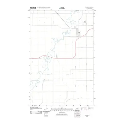 2011 Towner2011 Print · USGSCovers Towner, including McHenry County, United States, and other nearby areas
 - 2014 Map of Towner, 2014 Print
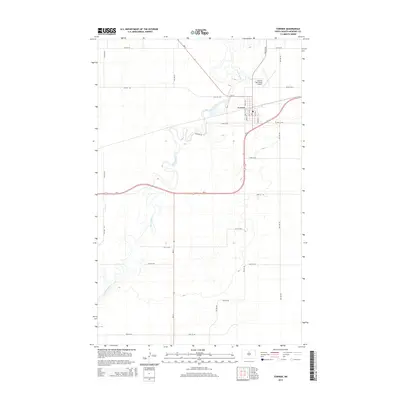 2014 Towner2014 Print · USGSCovers Towner, including McHenry County, United States, and other nearby areas
 - 2017 Map of Towner, 2017 Print
 2017 Towner2017 Print · USGSCovers Towner, including McHenry County, United States, and other nearby areas
 - 2020 Map of Towner, 2020 Print
 2020 Towner2020 Print · USGSCovers Towner, including McHenry County, United States, and other nearby areas
 - 2024 Map of Towner, 2024 Print
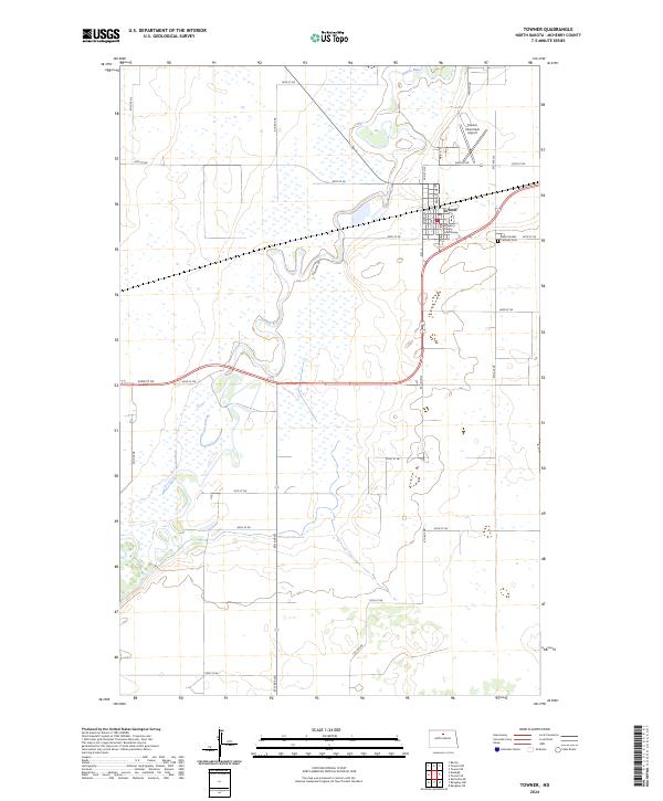 2024 Towner2024 Print · USGSTowner and the winding Souris River dominate this McHenry County landscape in the early twenty-first century. Local historians can trace the civic heart of the area at the McHenry County Courthouse and Saint Cecilias Catholic Cem.
End of results
Showing maps 1-9 of 9
Top cities near Towner
Frequently asked questions
- What are the different types of historical maps available for Towner?
- What is the oldest map of Towner?
- Where can I purchase historical maps of Towner for my home or office?
- Where can I download high-res historical maps of Towner?
- Are there historical topographic maps available for Towner?
- Is there historical aerial imagery available for Towner?
- Where are historical maps of Towner sourced from?