Old Maps of Ashley, North Dakota for Academic Research
Study the evolution of Ashley with 15 high-resolution historic maps. Whether you're teaching, researching, or modeling changes in land use, these maps provide essential visual documentation of urban, environmental, and geographic change.
- Analyze long-term change: Track patterns in development, transportation, and natural features.
- Ideal for environmental or urban studies: Support academic projects with primary historical map data.
- Use in the classroom or lab: Educators and researchers rely on these maps to bring historical context to life.
These maps are a powerful tool for teaching, research, and visualizing how Ashley has changed over the decades.
Ashley, ND maps
(15)- 1953 Map of Jamestown
 1953 Jamestown1953 Print · USGSSoutheastern North Dakota was a thriving rail and agricultural corridor in the early fifties, anchored by the James River. Researchers can trace the footprints of institutional landmarks like the North Dakota State Hospital and historic sites such as Whitestone Hill Battlefield Park.3 unique versions available
 - 1956 Map of Jamestown
 1956 Jamestown1956 Print · USGSThe James River valley and the vast alkali lake country of south-central North Dakota are captured here in the mid-fifties. Genealogists can trace family farms across several counties, locating small rail stops like Medberry and monuments like Whitestone Hill Battlefield Park.
 - 1982 Map of Ashley East, 1983 Print
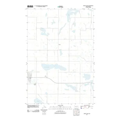
 1982 Ashley East1983 Print · USGSThe McIntosh County prairie comes alive in the early eighties as a hub for agriculture and conservation. Genealogists and historians can locate the Ashley townsite, the Old RR Grade, and several rural burial grounds like Emmans Cem.
 - 1982 Map of Ashley West, 1983 Print
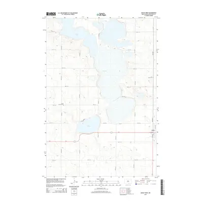
 1982 Ashley West1983 Print · USGSMcIntosh County at the start of the eighties reveals a prairie landscape transitioning between its agricultural roots and modern conservation efforts. Trace local family history at Beth Itzchock Cem or follow the path of the Old RR Grade near Ashley.
 - 1986 Map of Wishek
 1986 Wishek1986 Print · USGSMcIntosh and Logan counties are depicted here in the mid-1980s, a period defined by small-town rail commerce and extensive prairie conservation. Genealogists and researchers can trace the rail corridors of the Soo Line and Burlington Northern through centers like Wishek, Ashley, and Fredonia.2 unique versions available
 - 2011 Map of Ashley West, 2011 Print
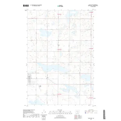
 2011 Ashley West2011 Print · USGSCovers Ashley, including McIntosh County, United States, and other nearby areas
 - 2011 Map of Ashley East, 2011 Print
 2011 Ashley East2011 Print · USGSCovers Ashley, including McIntosh County, United States, and other nearby areas
 - 2014 Map of Ashley West, 2014 Print
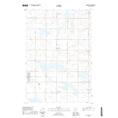
 2014 Ashley West2014 Print · USGSCovers Ashley, including McIntosh County, United States, and other nearby areas
 - 2014 Map of Ashley East, 2014 Print
 2014 Ashley East2014 Print · USGSCovers Ashley, including McIntosh County, United States, and other nearby areas
 - 2018 Map of Ashley West, 2018 Print
 2018 Ashley West2018 Print · USGSCovers Ashley, including McIntosh County, United States, and other nearby areas
 - 2018 Map of Ashley East, 2018 Print
 2018 Ashley East2018 Print · USGSCovers Ashley, including McIntosh County, United States, and other nearby areas
 - 2020 Map of Ashley East, 2020 Print
 2020 Ashley East2020 Print · USGSCovers Ashley, including McIntosh County, United States, and other nearby areas
 - 2020 Map of Ashley West, 2020 Print
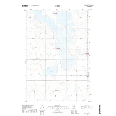 2020 Ashley West2020 Print · USGSCovers Ashley, including McIntosh County, United States, and other nearby areas
 - 2024 Map of Ashley West, 2024 Print
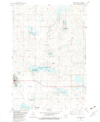
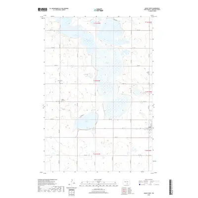
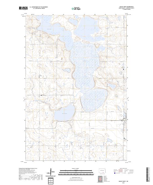 2024 Ashley West2024 Print · USGSMcIntosh County remains a landscape of prairie wetlands and rural heritage in this recent survey. Genealogists and local historians can trace the sites of Beth Itzchock Cem, Hoskins Community Cem, and the waters of Lake Hoskins.
 - 2024 Map of Ashley East, 2024 Print
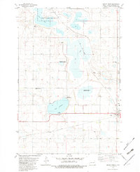
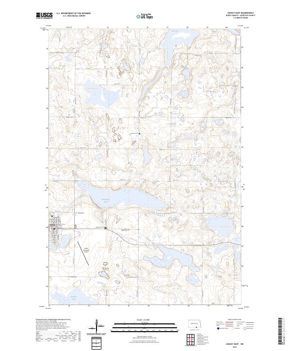 2024 Ashley East2024 Print · USGSMcIntosh County remains a landscape of prairie potholes and conservation lands in this recent survey. Researchers can trace the town of Ashley from its Mcintosh County Courthouse to rural landmarks like Emmaus Cem and Kislingbury Lake.
End of results
Showing maps 1-15 of 15
Top cities near Ashley
Frequently asked questions
- What are the different types of historical maps available for Ashley?
- What is the oldest map of Ashley?
- Where can I purchase historical maps of Ashley for my home or office?
- Where can I download high-res historical maps of Ashley?
- Are there historical topographic maps available for Ashley?
- Is there historical aerial imagery available for Ashley?
- Where are historical maps of Ashley sourced from?