Old Maps of Charlson, North Dakota for Hiking & Exploration
Hike through history with 9 historic maps of Charlson. Explore old trails, ghost towns, and forgotten backroads — perfect for outdoor adventurers and local explorers.
- Rediscover forgotten places: Map out old mining camps, roads, and footpaths that no longer exist on modern maps.
- Layer with modern tools: Combine with LiDAR or satellite views to plan hikes through historical terrain.
- Made for exploration: Popular among hikers, overlanders, and local history lovers.
Use these maps to find adventure and explore the hidden past of Charlson.
Charlson, ND maps
(9)- 1953 Map of Williston, 1968 Print
 1953 Williston1968 Print · USGSThe North Dakota high plains meet the waters of Sakakawea Lake in this mid-century survey of the northern borderlands. Trace the rail-and-ranch economy through sites like Anderson Sky Ranch, Sevenmile Corner, and the strip mines near Columbus.2 unique versions available
 - 1957 Map of Williston
 1957 Williston1957 Print · USGSNorthwestern North Dakota is shown here during the mid-fifties, dominated by the sweeping plains and the Missouri River valley. Genealogists and local historians can trace the paths of the Great Northern railroad through Williston, Tioga, and Ray, or locate early industry like the coal strip mines near Lignite.
 - 1965 Map of Charlson, 1966 Print
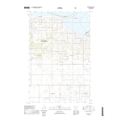
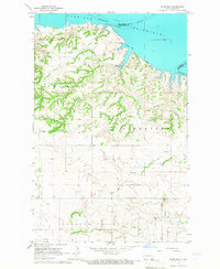 1965 Charlson1966 Print · USGSMcKenzie County in the mid-1960s reveals a prairie landscape transitioning into an industrial energy hub. Genealogists and historians can locate the Charlson settlement, remote burial sites like Riverside Cem, and the extensive Oil and Gas Field.
 - 1997 Map of Charlson, 2001 Print
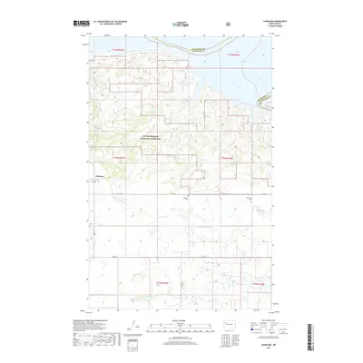
 1997 Charlson2001 Print · USGSThe Missouri River breaks of McKenzie County are captured here in the late nineties as Lake Sakakawea fills the northern horizon. Genealogists can locate family landmarks like the O and C Froholm Ranch, Antelope Cem, and the Charlson settlement.
 - 2011 Map of Charlson, 2011 Print
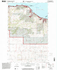
 2011 Charlson2011 Print · USGSCovers Charlson, including McKenzie County, Mountrail County, and other nearby areas
 - 2014 Map of Charlson, 2014 Print
 2014 Charlson2014 Print · USGSCovers Charlson, including McKenzie County, Mountrail County, and other nearby areas
 - 2017 Map of Charlson, 2017 Print
 2017 Charlson2017 Print · USGSCovers Charlson, including McKenzie County, Mountrail County, and other nearby areas
 - 2020 Map of Charlson, 2020 Print
 2020 Charlson2020 Print · USGSCovers Charlson, including McKenzie County, Mountrail County, and other nearby areas
 - 2024 Map of Charlson, 2024 Print
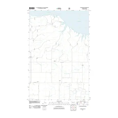
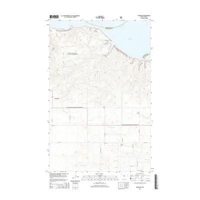
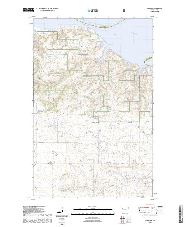 2024 Charlson2024 Print · USGSMcKenzie County and the badlands of western North Dakota are shown here in the contemporary era as the Missouri River meets the prairie. Genealogists and local historians can locate Charlson and trace family roots at Antelope Cem or Riverside Cem.
End of results
Showing maps 1-9 of 9
Top cities near Charlson
Frequently asked questions
- What are the different types of historical maps available for Charlson?
- What is the oldest map of Charlson?
- Where can I purchase historical maps of Charlson for my home or office?
- Where can I download high-res historical maps of Charlson?
- Are there historical topographic maps available for Charlson?
- Is there historical aerial imagery available for Charlson?
- Where are historical maps of Charlson sourced from?