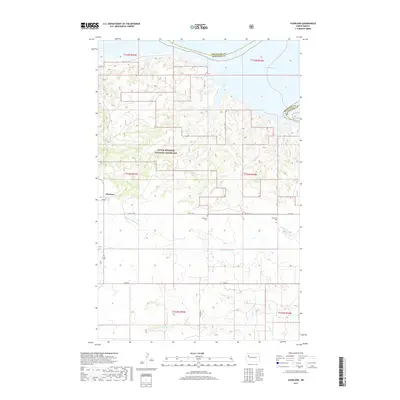
2017 Map of Charlson
USGS Topo · Published 2017About this map
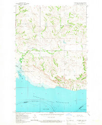
Charlson anchors the western edge of this McKenzie County survey, situated amidst the expansive Little Missouri National Grassland. The landscape is defined by the significant incision of Little Antelope Cr and Antelope Cr, which drain northward toward the sprawling waters of Lake Sakakawea. Near the northern boundary, the map details the complex shoreline of Phelps Bay where the county line meets Mountrail. This 2017 edition reveals the contemporary layout of section-line roads like Co Rte 6 and 44th St NW that grid the plateau above the creek breaks. For local historians, the placement of the Riverside Cem and Antelope Cem provides specific points for genealogical research in this rural ranching and grassland region.
Find a feature on this map
19 named features on this map. Tap any name to fly to it.
Don’t see what you’re looking for? This feature index may not catch every label — zoom into the map to look around manually.
Map Details
Editions of this 2017 Charlson Map
This is the sole edition of this map. No revisions or reprints were ever made.
Other maps of this area
1953 · Williston
USGS Topo · 1:250,000

1953 · Watford City
USGS Topo · 1:250,000
1957 · Williston
USGS Topo · 1:250,000

1957 · Watford City
USGS Topo · 1:250,000
1965 · Keene
USGS Topo · 1:24,000
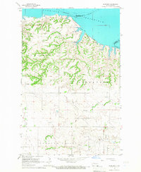
1965 · Charlson
USGS Topo · 1:24,000
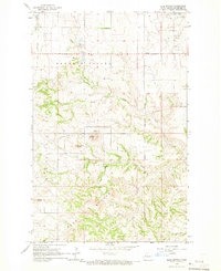
1965 · Blue Buttes
USGS Topo · 1:24,000
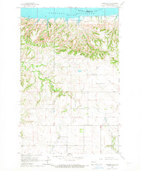
1965 · Charlson SW
USGS Topo · 1:24,000
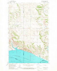
1965 · Charlson NE
USGS Topo · 1:24,000
1965 · Charlson NW
USGS Topo · 1:24,000