2020s Maps of Parshall, North Dakota
Explore 26 historic maps of Parshall from the 2020s. These maps offer a rare glimpse into what life looked like during the 2020s — showing old roads, neighborhoods, homes, and landmarks that have changed or disappeared over time.
Whether you're researching your family's past, planning a metal detecting trip, or studying how Parshall's landscape evolved across the 2020s, these high-resolution maps are a powerful tool for exploring the history of this region.
- Focus on a specific era: All maps on this page are from the 2020s, giving you a focused view of this time period.
- See what’s changed: Compare century-old streets, trails, and buildings to today's modern landscape using overlays and satellite layers.
- Research with precision: Use these maps for genealogy, historical research, land use analysis, or educational projects.
- View, download, or print: Maps are fully viewable online in high resolution, and can be downloaded or printed for your own records.
Start exploring Parshall's history through authentic maps from the 2020s. This is your window into the past.
Parshall, ND maps
(26)- 2020 Map of Makoti, 2020 Print
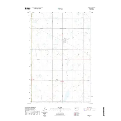 2020 Makoti2020 Print · USGSThe rural agricultural landscape around the Ward and Mountrail county line is shown here in modern detail. Researchers can locate family history at Saint Elizabeth Catholic Cem, Saint Pauls Lutheran Cem, and the small town of Makoti.
 - 2020 Map of Roseglen, 2020 Print
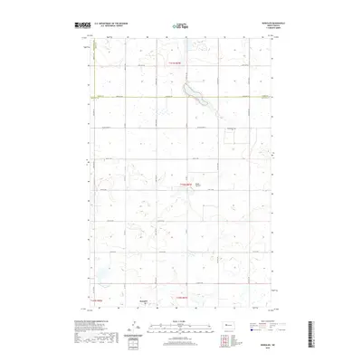 2020 Roseglen2020 Print · USGSThe North Dakota prairie around Roseglen is captured in this recent survey, showcasing the enduring agricultural grid and county borders. Genealogists and local historians can locate Hiddenwood Cem and the settlement of Roseglen, or trace routes like Co Hwy 7.
 - 2020 Map of Makoti SW, 2020 Print
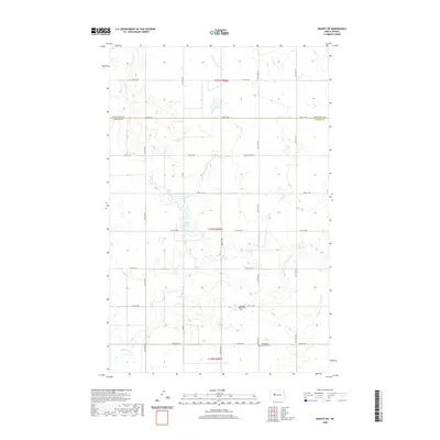 2020 Makoti SW2020 Print · USGSThe prairie landscape at the border of McLean and Mountrail Counties is defined by the section-line roads and creek beds of the early twenty-first century. Researchers can trace local heritage at Roseglen Baptist Cem, Bethlehem Lutheran Cem, and the banks of Lake Susie.
 - 2020 Map of Wabek, 2020 Print
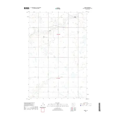 2020 Wabek2020 Print · USGSMountrail County's prairie landscape is captured here in the contemporary era, showing a grid of section roads and small settlements. Genealogists and researchers can trace local landmarks like Wabek, First Lutheran Wabek Cem, and the waters of Deepwater Cr.
 - 2020 Map of New Town SW, 2020 Print
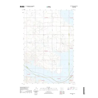 2020 New Town SW2020 Print · USGSThe Missouri River breaks into the complex bays of Lake Sakakawea in this modern topographic study of the North Dakota prairie. Researchers can locate the Little Shell Church Cem and trace the winding course of Little Shell Cr as it flows toward the Van Hook Arm.
 - 2020 Map of Raub NW, 2020 Print
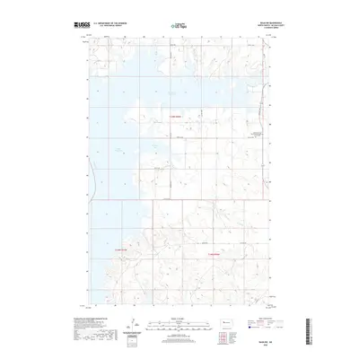 2020 Raub NW2020 Print · USGSThe Missouri River breaks into the expansive Lake Sakakawea in this recent study of McLean County. Researchers can locate the Susan Webb Hall Memorial Congregational Church Cem and trace the complex shoreline of Arikara Bay.
 - 2020 Map of Parshall SW, 2020 Print
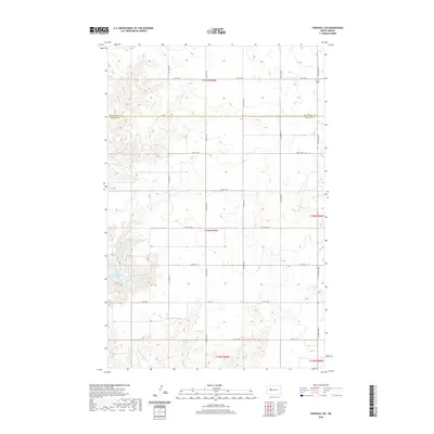 2020 Parshall SW2020 Print · USGSThe North Dakota prairie near the McLean and Mountrail county line is captured in this modern survey of the rural landscape. Researchers can trace the section-line road grid and shoreline features like Lucky Mound Creek Bay and Co Hwy 4.
 - 2020 Map of Parshall, 2020 Print
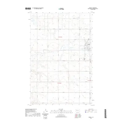 2020 Parshall2020 Print · USGSThe township of Parshall and its surrounding wheat-country sections are documented here in the early twenty-first century. Genealogists and local historians can trace the town’s layout and find local landmarks such as Saint Bridgets Cem and the Parshall-Hankins Airport.
 - 2020 Map of New Town SE, 2020 Print
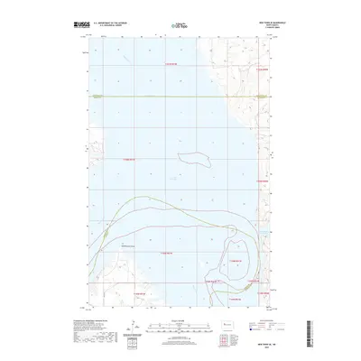 2020 New Town SE2020 Print · USGSLake Sakakawea and the Missouri River valley define this North Dakota landscape during the late twenty-tens. Researchers can trace the submerged contours of the Van Hook Arm or locate shoreline markers like Independence Point and Lucky Mound Creek Bay.
 - 2020 Map of Parshall NE, 2020 Print
 2020 Parshall NE2020 Print · USGSMountrail County's high prairie is mapped here in the modern era, showing the intersection of natural watercourses and the section-line grid. Trace the winding E Fork Shell Cr and find precise property boundaries within T152N R89W.
 - 2020 Map of Parshall SE, 2020 Print
 2020 Parshall SE2020 Print · USGSThe prairie border of Mountrail and McLean counties is captured here in the contemporary era. Genealogists and local historians can locate remote landmarks like the Lucky Mound Lutheran Cem and trace the path of Deepwater Cr.
 - 2020 Map of Saddle Butte, 2020 Print
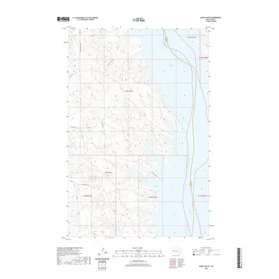 2020 Saddle Butte2020 Print · USGSThe Missouri River breaks into the vast waters of Lake Sakakawea in this modern topographic record of the North Dakota badlands. Genealogists and local historians can trace family-named routes like Charging Family Rd and access points at Hale Marina Rd and Saddle Butte Bay.
 - 2020 Map of Shell Creek Bay, 2020 Print
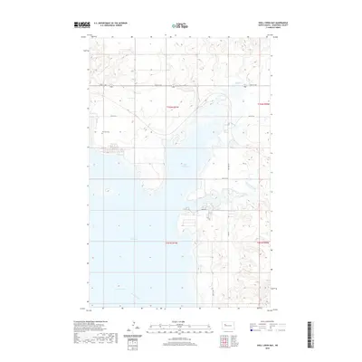 2020 Shell Creek Bay2020 Print · USGSMountrail County's shoreline is defined by the deep reaches of the Missouri River reservoir in this modern topographical study. Genealogists and local historians can locate the Van Hook Cem and trace the complex waterways of Shell Creek Bay and the Van Hook Arm.
 - 2024 Map of Shell Creek Bay, 2024 Print
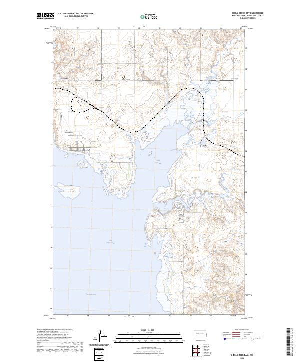 2024 Shell Creek Bay2024 Print · USGSThe Missouri River valley in Mountrail County is shown here as a landscape shaped by the waters of Lake Sakakawea. Researchers can find the Van Hook Cem and trace the winding shoreline of Shell Creek Bay and the Van Hook Arm.
 - 2024 Map of Roseglen, 2024 Print
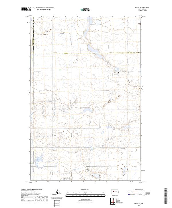 2024 Roseglen2024 Print · USGSMcLean and Ward counties appear in this recent survey as a landscape dedicated to agriculture and conservation. Genealogists and historians can locate the Hiddenwood Cem or trace the boundaries of the Hiddenwood National Wildlife Refuge.
 - 2024 Map of Parshall SW, 2024 Print
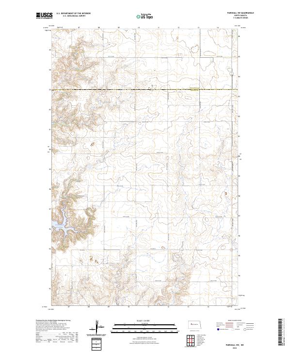 2024 Parshall SW2024 Print · USGSThe North Dakota prairie meets the water at Lucky Mound Creek Bay in this recent survey of the boundary between Mountrail Co and McLean Co. Researchers can trace the modern road grid along 75th Ave NW and Co Hwy 4.
 - 2024 Map of Makoti, 2024 Print
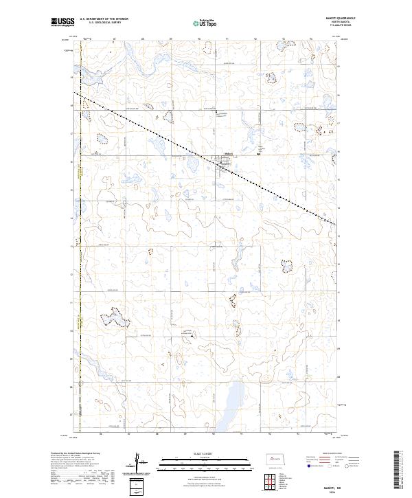 2024 Makoti2024 Print · USGSThe town of Makoti and the surrounding Ward County plains are shown here in recent detail, illustrating a landscape defined by agriculture and conservation. Genealogists can locate several local burial sites including Saint Pauls Lutheran Cem and Hope Lutheran Cem.
 - 2024 Map of Parshall NE, 2024 Print
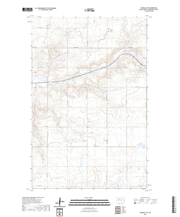 2024 Parshall NE2024 Print · USGSMountrail County's high plains and rolling coulees are captured here in the early 2020s, showing a landscape defined by the rigid section-line grid. Researchers can trace the path of East Fork Shell Creek as it winds past rural routes like 39th St NW and 69th Ave NW.
 - 2024 Map of Makoti SW, 2024 Print
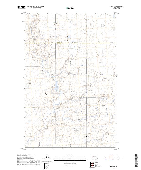 2024 Makoti SW2024 Print · USGSMcLean County is captured here in the early twenty-first century, showing a transition between managed wildlife habitat and the long-established North Dakota section grid. Genealogists and local researchers can locate community markers like the Roseglen Baptist Cem and Bethlehem-Lutheran Cem near the headwaters of Deepwater Creek.
 - 2024 Map of New Town SE, 2024 Print
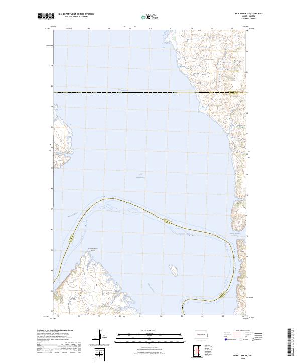 2024 New Town SE2024 Print · USGSLake Sakakawea’s broad waters and the original path of the Missouri River define this modern topographic study of central North Dakota. Researchers can trace the submerged landscape and shoreline features like Independence Point, Van Hook Arm, and Lucky Mound Creek Bay.
 - 2024 Map of Saddle Butte, 2024 Print
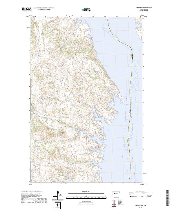 2024 Saddle Butte2024 Print · USGSThe rugged Missouri River Breaks of Dunn County meet the waters of Lake Sakakawea in this modern survey. Researchers can trace land ties and local routes like Charging Family Rd, Jim Hale Rd, and the namesake Saddle Butte.
 - 2024 Map of Parshall, 2024 Print
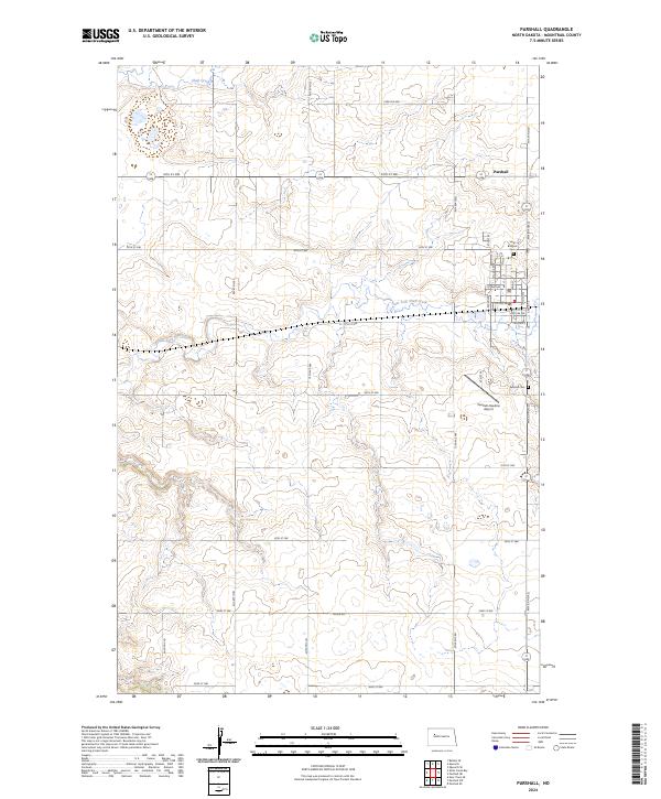 2024 Parshall2024 Print · USGSParshall and the surrounding Mountrail County plains are shown in contemporary detail, capturing the town's grid and its relationship with the surrounding wheat country. Trace local history through the Parshall Cem, Saint Bridgets Cem, and the path of Shell Creek.
 - 2024 Map of Wabek, 2024 Print
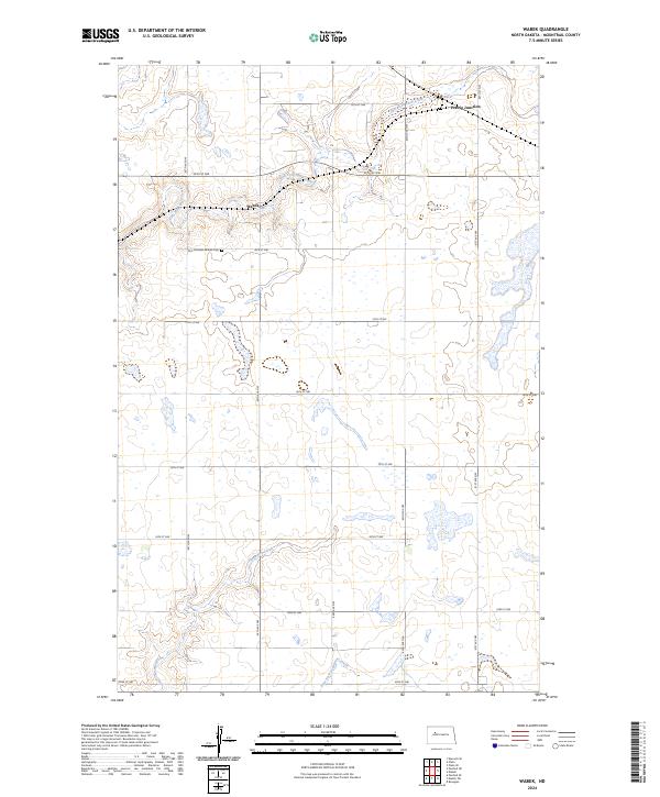 2024 Wabek2024 Print · USGSMountrail County in the modern era remains a landscape of prairie potholes and agricultural section lines. Genealogists and local historians can trace the community around Wabek and Prairie Junction, or locate the First Lutheran Wabek Cem.
 - 2024 Map of Raub NW, 2024 Print
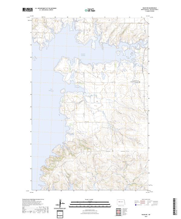 2024 Raub NW2024 Print · USGSMcLean County is captured here in the contemporary era as its rugged coulees meet the vast waters of the Missouri River reservoir system. Genealogists and local historians can locate the Susan Webb Hall Memorial Congregational Church Cem and trace the drainage of Charging Creek.
 - 2024 Map of New Town SW, 2024 Print
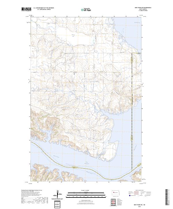 2024 New Town SW2024 Print · USGSThe Missouri River and Lake Sakakawea shorelines define this North Dakota landscape as it appeared in the early 2020s. Researchers can locate the Little Shell Church and nearby Cem while tracing drainage patterns along Little Shell Creek.
Showing maps 1-25 of 26
Top cities near Parshall
Top neighborhoods of Parshall
- Prairie Junction historical maps
- Wabek historical maps
- Brendle's Bay historical maps
- Parshall historical maps
Frequently asked questions
- What are the different types of historical maps available for Parshall?
- What is the oldest map of Parshall?
- Where can I purchase historical maps of Parshall for my home or office?
- Where can I download high-res historical maps of Parshall?
- Are there historical topographic maps available for Parshall?
- Is there historical aerial imagery available for Parshall?
- Where are historical maps of Parshall sourced from?