Old Maps of Pembina, North Dakota for Genealogy
Trace your family roots with 20 historic maps of Pembina. These high-res maps reveal old neighborhoods, homesites, landmarks, and streets — helping you uncover where your ancestors lived and how the area evolved over time.
- Explore historic neighborhoods: Identify where your relatives may have lived in the 1800s or 1900s.
- Compare maps over time: Trace the changes in streets, buildings, and landmarks for multi-generational research.
- Perfect for genealogy & ancestry research: Used by family historians and researchers to map out lineage and migration.
These maps are an incredible resource for exploring your personal connection to Pembina's past.
Pembina, ND maps
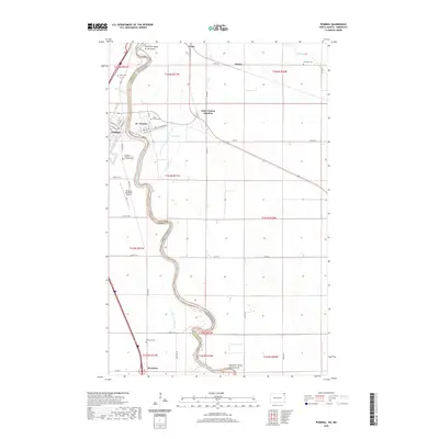
(20)- 1939 Map of Pembina, 1958 Print
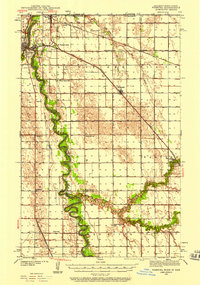 1939 Pembina1958 Print · USGSThe international border at the Red River Valley was a busy corridor of rail and river transit in the late 1930s. Genealogists can locate numerous rural schoolhouses like Fleece Sch and Joe River Sch, or trace the tracks of the Great Northern through St Vincent.3 unique versions available
 - 1941 Map of Bathgate
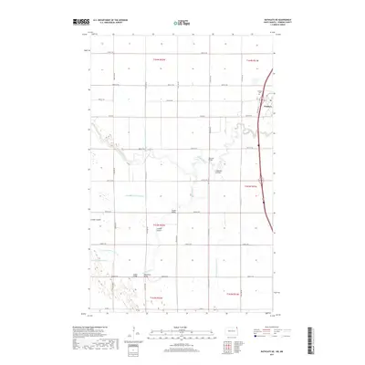
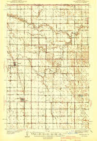 1941 Bathgate1941 Print · USGSNortheastern North Dakota's borderlands are captured here in the late 1930s, showing a landscape defined by meandering rivers and a dense network of rural schoolhouses. Genealogists can locate family-named landmarks like Geroux Bridge Sch, Murphy Sch, and the Bathgate Cem.
 - 1941 Map of Pembina
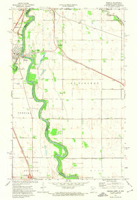
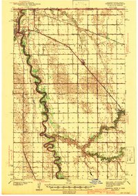 1941 Pembina1941 Print · USGSThe Red River valley at the Canadian border comes alive in this pre-war survey of the North Dakota-Minnesota line. Genealogists can trace family roots through numerous rural landmarks like the Icelandic Cem, North Star Ch, and the Fleece Sch.2 unique versions available
 - 1952 Map of Thief River Falls, 1967 Print
 1952 Thief River Falls1967 Print · USGSThe Red River Valley's agricultural and conservation landscape is captured in the mid-1950s, detailing a web of rail lines and international border crossings. Researchers can trace family roots in towns like Thief River Falls, locate the State School for Blind, and survey landmarks like the Agassiz National Wildlife Refuge.2 unique versions available
 - 1956 Map of Thief River Falls
 1956 Thief River Falls1956 Print · USGSThe Red River Valley in the mid-1950s is captured here as a sprawling network of rail corridors and wildlife refuges along the Canadian border. Trace the vanished transport routes of the Dismantled railroad and Abandoned railroad or locate local landmarks like the Herrick Elevator and State School for Blind.
 - 1957 Map of Thief River Falls
 1957 Thief River Falls1957 Print · USGSThe Red River Valley in the mid-fifties is captured here as a thriving network of rail towns and conservation lands. Genealogists and historians can trace family roots through settlements like Grafton, Pembina, and Hallock, or locate landmarks such as the State School for Blind and the Great Northern RR corridor.
 - 1967 Map of Thief River Falls
 1967 Thief River Falls1967 Print · USGSThe Red River Valley and the international border come alive in the 1960s, showing a landscape shaped by major rail lines and river commerce. Genealogists and historians can trace the paths of the Great Northern and Soo Line through towns like Thief River Falls, Grafton, and Hallock.
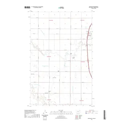
 - 1970 Map of Bathgate NE, 1973 Print
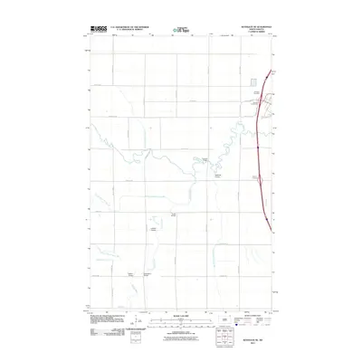
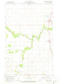 1970 Bathgate NE1973 Print · USGSThe Red River Valley landscape at the Canadian border comes into focus in this early 1970s survey. Genealogists and local historians can trace named river crossings like Hancock Bridge and Trudell Bridge, or locate the Pembina Cem.
 - 1972 Map of Pembina, 1974 Print
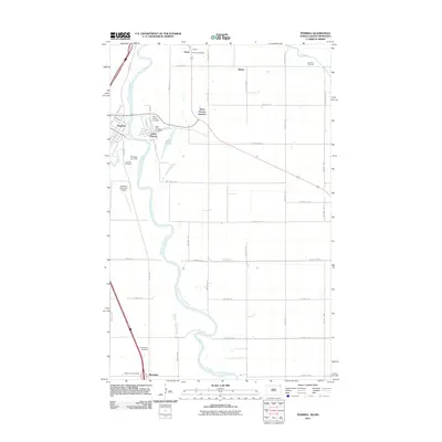
 1972 Pembina1974 Print · USGSThe Red River valley at the international border was a bustling transit hub in the early seventies. Genealogists and local historians can trace the border infrastructure at Noyes and locate rural landmarks like Lutheran Cem and St Vincent.2 unique versions available
 - 1985 Map of Cavalier
 1985 Cavalier1985 Print · USGSThe Red River Valley and the international border meet in this mid-1980s look at the drainage and rail networks of Northeast North Dakota. Trace the paths of the Burlington Northern and Soo Line through border towns like Neche, Pembina, and Noyes.2 unique versions available
 - 2011 Map of Bathgate NE, 2011 Print
 2011 Bathgate NE2011 Print · USGSCovers Pembina, including Pembina County, United States, and other nearby areas
 - 2011 Map of Pembina, 2011 Print
 2011 Pembina2011 Print · USGSCovers Pembina, including McArthur, Sultan, and other nearby areas
 - 2014 Map of Bathgate NE, 2014 Print
 2014 Bathgate NE2014 Print · USGSCovers Pembina, including Pembina County, United States, and other nearby areas
 - 2014 Map of Pembina, 2014 Print
 2014 Pembina2014 Print · USGSCovers Pembina, including McArthur, Sultan, and other nearby areas
 - 2017 Map of Bathgate NE, 2017 Print
 2017 Bathgate NE2017 Print · USGSCovers Pembina, including Pembina County, United States, and other nearby areas
 - 2017 Map of Pembina, 2017 Print
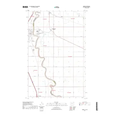 2017 Pembina2017 Print · USGSCovers Pembina, including McArthur, Sultan, and other nearby areas
 - 2020 Map of Pembina, 2020 Print
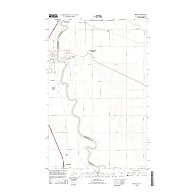
 2020 Pembina2020 Print · USGSCovers Pembina, including McArthur, Sultan, and other nearby areas
 - 2020 Map of Bathgate NE, 2020 Print
 2020 Bathgate NE2020 Print · USGSCovers Pembina, including Pembina County, United States, and other nearby areas
 - 2024 Map of Pembina, 2024 Print
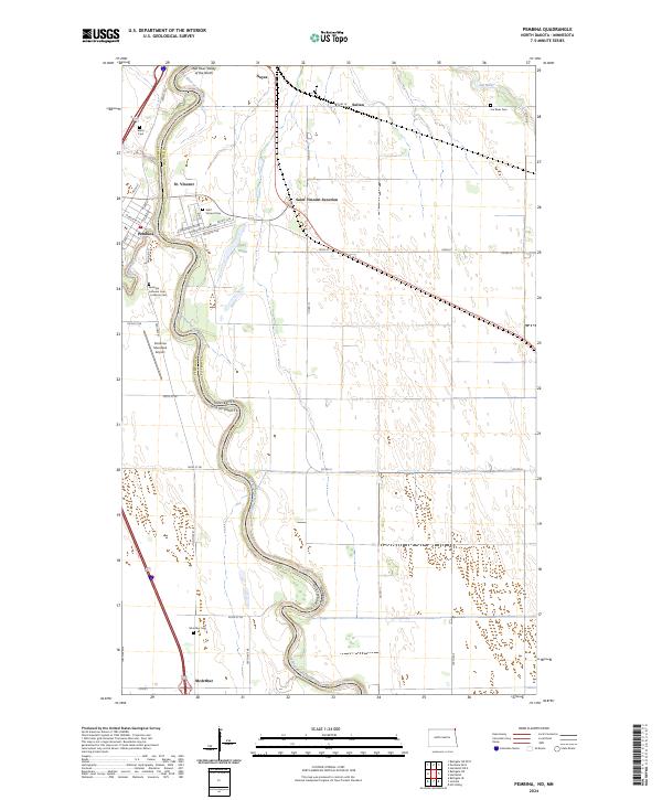 2024 Pembina2024 Print · USGSCrossing the border between North Dakota and Minnesota, this area shows the historic river towns and rail junctions as they appear today. Family researchers can locate several local burial grounds, including the Metis Cem, Saint Vincent Cem, and Mcarthur Cem.
 - 2024 Map of Bathgate NE, 2024 Print
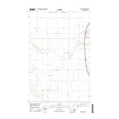
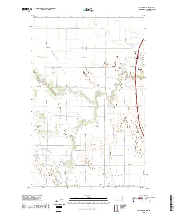 2024 Bathgate NE2024 Print · USGSPembina and the surrounding agricultural plains are captured here in the 2020s, showcasing the intricate drainage of the Red River Valley. Researchers can trace the winding Pembina River, locate the Pembina Cem, and follow the path of Louden Coulee.
End of results
Showing maps 1-20 of 20
Top cities near Pembina
Frequently asked questions
- What are the different types of historical maps available for Pembina?
- What is the oldest map of Pembina?
- Where can I purchase historical maps of Pembina for my home or office?
- Where can I download high-res historical maps of Pembina?
- Are there historical topographic maps available for Pembina?
- Is there historical aerial imagery available for Pembina?
- Where are historical maps of Pembina sourced from?