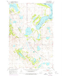
1970s Maps of Ramsey County, North Dakota
Explore 22 historic maps of Ramsey County from the 1970s. These maps offer a rare glimpse into what life looked like during the 1970s — showing old roads, neighborhoods, homes, and landmarks that have changed or disappeared over time.
Whether you're researching your family's past, planning a metal detecting trip, or studying how Ramsey County's landscape evolved across the 1970s, these high-resolution maps are a powerful tool for exploring the history of this region.
- Focus on a specific era: All maps on this page are from the 1970s, giving you a focused view of this time period.
- See what’s changed: Compare century-old streets, trails, and buildings to today's modern landscape using overlays and satellite layers.
- Research with precision: Use these maps for genealogy, historical research, land use analysis, or educational projects.
- View, download, or print: Maps are fully viewable online in high resolution, and can be downloaded or printed for your own records.
Start exploring Ramsey County's history through authentic maps from the 1970s. This is your window into the past.
Ramsey County, ND maps
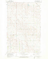
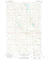
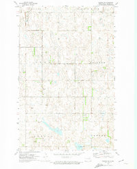
(22)- 1970 Map of Alsen SE, 1972 Print
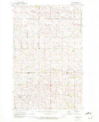 1970 Alsen SE1972 Print · USGSThe prairie pothole region of Cavalier County comes into focus in the early 1970s, showcasing a landscape of wetlands and isolated townships. Researchers can trace local landmarks like the Loma Cem, the Townhall, and the Burlington Northern rail line.
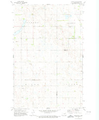
 - 1970 Map of Hampden, 1972 Print
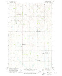
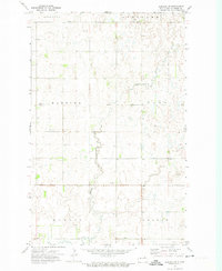
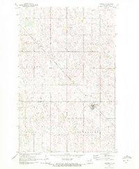 1970 Hampden1972 Print · USGSThe Ramsey and Cavalier county line area in the early 1970s is defined by its prairie wetlands and small-town rail connections. Genealogists and local historians can trace the Burlington Northern route through Hampden and locate the Storlie Cem.2 unique versions available
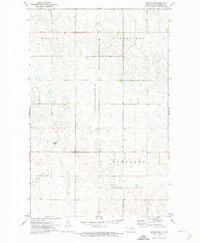
 - 1970 Map of Bartlett, 1972 Print
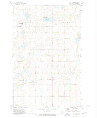
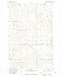
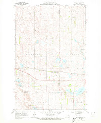 1970 Bartlett1972 Print · USGSThe North Dakota prairie near the Ramsey and Nelson county line is captured here during the transition to the 1970s. Researchers can locate the town of Bartlett along the Burlington Northern tracks and trace the boundaries of the Rose Lake National Wildlife Refuge.
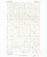
 - 1971 Map of Munich SW, 1973 Print
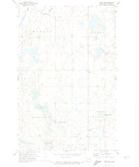
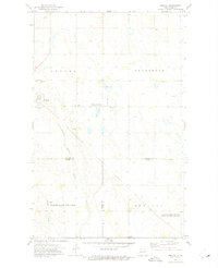
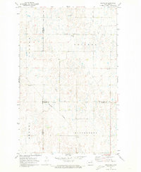 1971 Munich SW1973 Print · USGSCavalier County and its neighbors are mapped here in the early seventies as a landscape of structured townships and rail-side settlements. Researchers can trace rural life through landmarks like Calio, Salem Cem, and the community Townhall.
 - 1971 Map of Munich SE, 1973 Print
 1971 Munich SE1973 Print · USGSThe North Dakota prairie at the start of the 1970s reveals a structured landscape of grain farming and township life. Researchers can trace the Cavalier Co Ramsey Co border and locate local civic hubs like the Townhall and Starkweather Coulee.
 - 1971 Map of Brocket, 1974 Print
 1971 Brocket1974 Print · USGSBrocket and the surrounding prairie townships are captured here in the early 1970s, showcasing a landscape of rail-fed settlements and conservation lands. Trace local family history through sites like Vaage Cem, the Finnish Ch, and the Soo Line tracks.
 - 1971 Map of Southam, 1974 Print
 1971 Southam1974 Print · USGSIn the early 1970s, this Ramsey County landscape was defined by its railroad heritage and conservation lands. Genealogists and historians can trace the rural grid around Southam, locate the Fox Lake Cem, and see the extent of the Soo Line tracks.
 - 1971 Map of New Rockford, 1974 Print
 1971 New Rockford1974 Print · USGSCentral North Dakota was a landscape of wildlife refuges and rail-linked agricultural towns in the early seventies. Genealogists and local historians can trace the development of the Fort Totten Indian Reservation and locate old railway points like Maddock, Hamal, and Kloten.
 - 1971 Map of Crary NW, 1974 Print
 1971 Crary NW1974 Print · USGSRamsey County's prairie landscape is captured in the early 1970s, showing a patchwork of agricultural fields and conservation lands. Genealogists can trace the rural community near Rohrville or locate local landmarks like St Benedict Ch and the Townhall.
 - 1971 Map of Doyon, 1974 Print
 1971 Doyon1974 Print · USGSRamsey County and the surrounding prairie are captured here in the early 1970s as the rail and conservation systems matured. Trace the layout of Doyon, locate the Doyon Cem, and follow the Burlington Northern line across the township grid.
 - 1971 Map of Lakota NW, 1974 Print
 1971 Lakota NW1974 Print · USGSNorthern Ramsey County and Nelson County are captured here in the early seventies, showing a quiet landscape of prairie townships and rail. Genealogists and local historians can locate Hope Cem or trace the Soo Line railroad through Nixon and Clara.
 - 1972 Map of Derrick NW, 1974 Print
 1972 Derrick NW1974 Print · USGSRamsey County's prairie wetland ecosystem is captured here in the early 1970s, showcasing a landscape defined by glacial potholes and conservation efforts. Researchers can trace the bounds of the National Waterfowl Production Area and locate local work sites like the Gravel Pits.
 - 1972 Map of Derrick, 1974 Print
 1972 Derrick1974 Print · USGSThe Ramsey County prairie is shown here in the early seventies, centered on the rail-stop community of Derrick. Researchers can trace the agricultural townships of Northfield and Prospect, or locate the Prospect Cem and the local townhall.
 - 1972 Map of Derrick SE, 1974 Print
 1972 Derrick SE1974 Print · USGSRamsey County's prairie landscape is documented here during the early seventies, showing a highly organized system of townships and agricultural sections. Genealogists and local historians can locate the Katthagen Cem and trace the course of the Edmore Coulee across this glacial terrain.
 - 1972 Map of Derrick SW, 1974 Print
 1972 Derrick SW1974 Print · USGSRamsey County's rural townships are documented here during the early seventies, showing the sparse but vital infrastructure of the North Dakota prairie. Genealogists can locate Scandinavia Cem and its neighboring Scandinavia Ch, while tracing the path of the Edmore Coulee.
 - 1972 Map of Edmore SW, 1975 Print
 1972 Edmore SW1975 Print · USGSRamsey County agriculture and transport are captured here in the early 1970s, showing a landscape of prairie potholes and township grids. You can trace property lines and find local landmarks like the Lawton Cem and the Burlington Northern railroad line.
 - 1972 Map of Nekoma, 1975 Print
 1972 Nekoma1975 Print · USGSThe agricultural plains of Cavalier, Ramsey, and Walsh counties are captured here in the early seventies, centered on the settlement of Nekoma. Researchers can trace local heritage through sites like St Edwards Cem, Highland Ch, and the wetland boundaries of Fairdale Slough.
 - 1972 Map of Edmore, 1975 Print
 1972 Edmore1975 Print · USGSThis Ramsey County prairie landscape in the 1970s centers on the small rail town of Edmore, where the Burlington Northern line crosses the plains. Researchers can locate family landmarks like the St Hans Ch, St Ansgar Cem, and the old Townhall building.
 - 1972 Map of Edmore NE, 1975 Print
 1972 Edmore NE1975 Print · USGSThe Ramsey and Walsh county line in the early seventies shows a landscape of prairie wetlands and established townships. Genealogists and local historians can locate St Olaf Cem, Sobak Cem, and the National Waterfowl Production Area.
 - 1972 Map of Billings Lake, 1975 Print
 1972 Billings Lake1975 Print · USGSThe North Dakota prairie at the start of the seventies reveals a landscape of grain-hauling rail lines and protected wetlands. Trace the Soo Line as it connects Loma and Nekoma, or explore the boundaries of the Billings Lake National Wildlife Refuge.
 - 1972 Map of Lawton, 1975 Print
 1972 Lawton1975 Print · USGSThe community of Lawton and its surrounding townships are shown here in the early 1970s, as the northern prairie rail network remained central to local life. Researchers can trace the Burlington Northern line and locate local landmarks like the Townhall and the boundaries of Sauter and Lillehoff.
 - 1975 Map of Tokio, 1977 Print
 1975 Tokio1977 Print · USGSBenson County's prairie and lakelands are captured in the 1970s, showcasing the intricate shores of Devils Lake and the rail-oriented settlement of Tokio. Genealogists and local historians can locate Wood Lake Ch, Saint Michael, and School No 3 among the region's many lakes and buttes.
End of results
Showing maps 1-22 of 22
Top cities of Ramsey County
- Devils Lake historical maps
- Edmore historical maps
- Grand Harbor historical maps
- Starkweather historical maps
- Crary historical maps
- Webster historical maps
See more
Frequently asked questions
- What are the different types of historical maps available for Ramsey County?
- What is the oldest map of Ramsey County?
- Where can I purchase historical maps of Ramsey County for my home or office?
- Where can I download high-res historical maps of Ramsey County?
- Are there historical topographic maps available for Ramsey County?
- Is there historical aerial imagery available for Ramsey County?
- Where are historical maps of Ramsey County sourced from?