2000s (21st Century) Maps of Ramsey County, North Dakota
Explore 190 historic maps of Ramsey County from the 2000s (21st Century). These maps offer a rare glimpse into what life looked like during the 2000s — showing old roads, neighborhoods, homes, and landmarks that have changed or disappeared over time.
Whether you're researching your family's past, planning a metal detecting trip, or studying how Ramsey County's landscape evolved across the 2000s, these high-resolution maps are a powerful tool for exploring the history of this region.
- Focus on a specific era: All maps on this page are from the 2000s, giving you a focused view of this time period.
- See what’s changed: Compare century-old streets, trails, and buildings to today's modern landscape using overlays and satellite layers.
- Research with precision: Use these maps for genealogy, historical research, land use analysis, or educational projects.
- View, download, or print: Maps are fully viewable online in high resolution, and can be downloaded or printed for your own records.
Start exploring Ramsey County's history through authentic maps from the 2000s. This is your window into the past.
Ramsey County, ND maps
(190)- 2011 Map of Tokio, 2011 Print
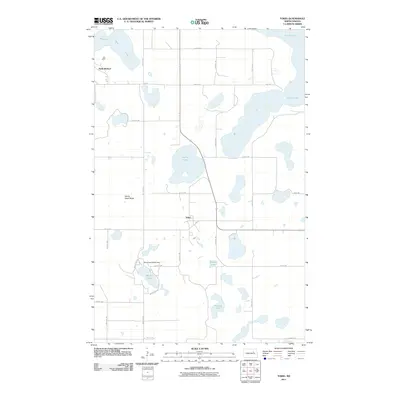 2011 Tokio2011 Print · USGSCovers Ramsey County, including Wood Lake District, St. Michael District, and other nearby areas
 - 2011 Map of Free Peoples Lake, 2011 Print
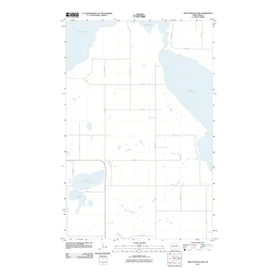 2011 Free Peoples Lake2011 Print · USGSCovers Ramsey County, including Wood Lake District, St. Michael District, and other nearby areas
 - 2011 Map of Fort Totten, 2011 Print
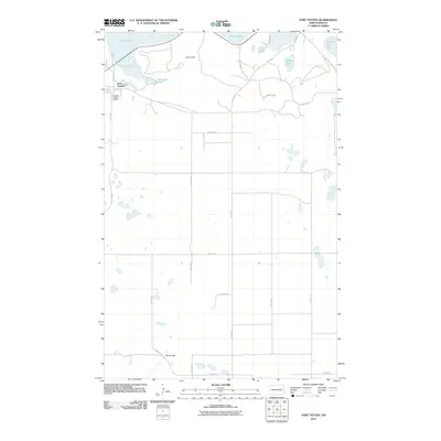 2011 Fort Totten2011 Print · USGSCovers Ramsey County, including Wood Lake District, St. Michael District, and other nearby areas
 - 2011 Map of Devils Lake Mountain, 2011 Print
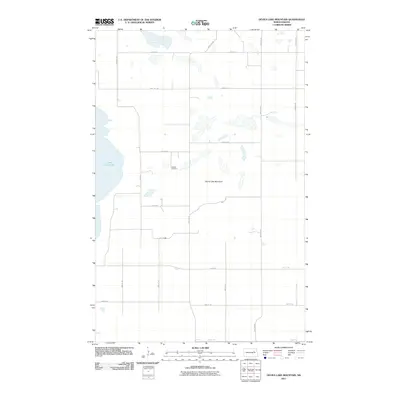 2011 Devils Lake Mountain2011 Print · USGSCovers Ramsey County, including Wood Lake District, Nelson County, and other nearby areas
 - 2011 Map of Tilden, 2011 Print
 2011 Tilden2011 Print · USGSCovers Ramsey County, including Tilden, Benson County, and other nearby areas
 - 2011 Map of Grahams Island, 2011 Print
 2011 Grahams Island2011 Print · USGSCovers Ramsey County, including Crow Hill District, Fort Totten District, and other nearby areas
 - 2011 Map of Churchs Ferry, 2011 Print
 2011 Churchs Ferry2011 Print · USGSCovers Ramsey County, including Churchs Ferry, Towner County, and other nearby areas
 - 2011 Map of Cando SE, 2011 Print
 2011 Cando SE2011 Print · USGSCovers Ramsey County, including Towner County, United States, and other nearby areas
 - 2011 Map of Penn, 2011 Print
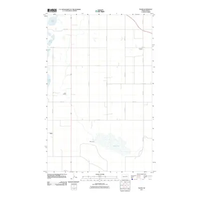
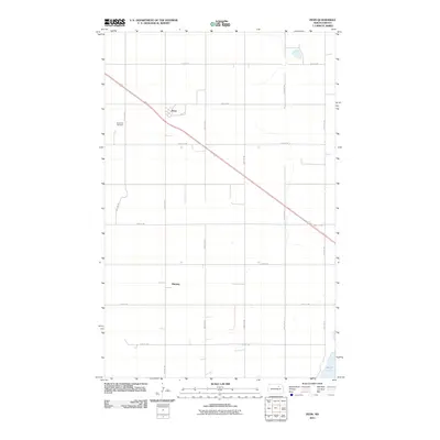 2011 Penn2011 Print · USGSCovers Ramsey County, including Ramsey, Penn, and other nearby areas
 - 2011 Map of Derrick SW, 2011 Print
 2011 Derrick SW2011 Print · USGSCovers Ramsey County, including United States, North Dakota, and other nearby areas
 - 2011 Map of Brocket, 2011 Print
 2011 Brocket2011 Print · USGSCovers Ramsey County, including Brocket, Walsh County, and other nearby areas
 - 2011 Map of Derrick, 2011 Print
 2011 Derrick2011 Print · USGSCovers Ramsey County, including Derrick, United States, and other nearby areas
 - 2011 Map of Crary, 2011 Print
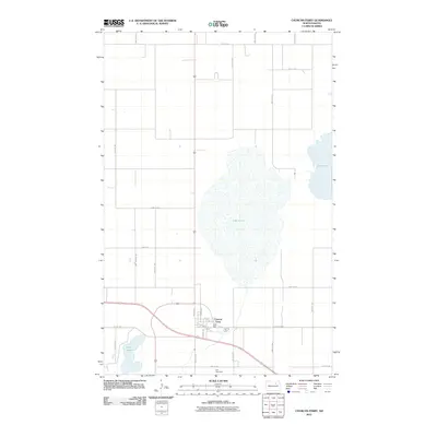
 2011 Crary2011 Print · USGSCovers Ramsey County, including Crary, St. Michael District, and other nearby areas
 - 2011 Map of Derrick NW, 2011 Print
 2011 Derrick NW2011 Print · USGSCovers Ramsey County, including United States, North Dakota, and other nearby areas
 - 2011 Map of Edmore NE, 2011 Print
 2011 Edmore NE2011 Print · USGSCovers Ramsey County, including Walsh County, United States, and other nearby areas
 - 2011 Map of Lawton, 2011 Print
 2011 Lawton2011 Print · USGSCovers Ramsey County, including Lawton, Walsh County, and other nearby areas
 - 2011 Map of Sweetwater, 2011 Print
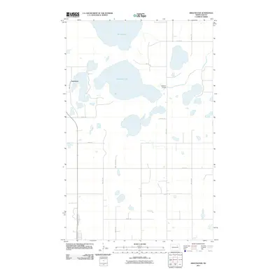 2011 Sweetwater2011 Print · USGSCovers Ramsey County, including Devils Lake, Sweetwater, and other nearby areas
 - 2011 Map of Billings Lake, 2011 Print
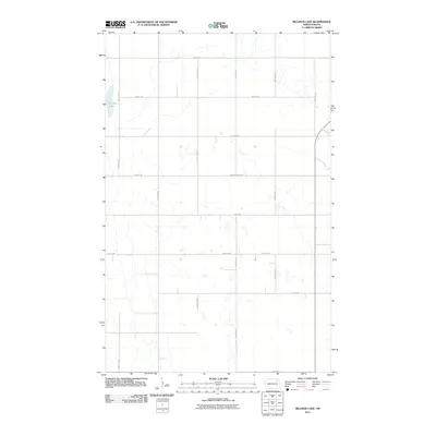 2011 Billings Lake2011 Print · USGSCovers Ramsey County, including Nekoma, Loma, and other nearby areas
 - 2011 Map of Bartlett, 2011 Print
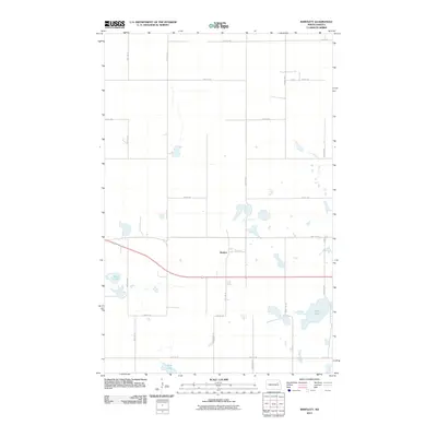 2011 Bartlett2011 Print · USGSCovers Ramsey County, including Bartlett, Nelson County, and other nearby areas
 - 2011 Map of Devils Lake, 2011 Print
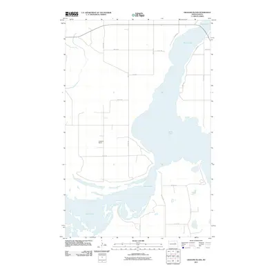
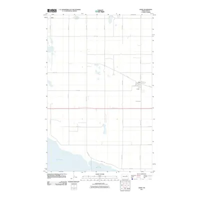
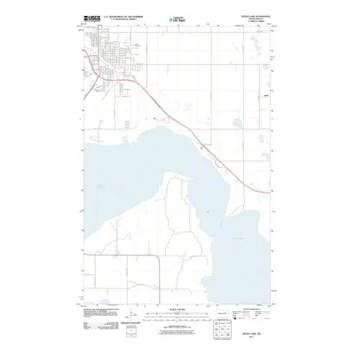 2011 Devils Lake2011 Print · USGSCovers Ramsey County, including Devils Lake, St. Michael District, and other nearby areas
 - 2011 Map of Alsen SE, 2011 Print
 2011 Alsen SE2011 Print · USGSCovers Ramsey County, including Loma, Cavalier County, and other nearby areas
 - 2011 Map of Doyon, 2011 Print
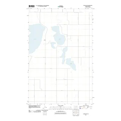
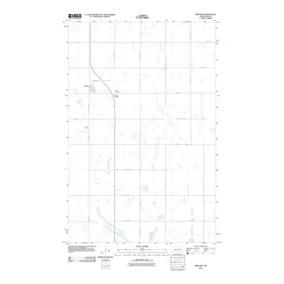
 2011 Doyon2011 Print · USGSCovers Ramsey County, including Doyon, Nelson County, and other nearby areas
 - 2011 Map of Hampden, 2011 Print
 2011 Hampden2011 Print · USGSCovers Ramsey County, including Alsen, Hampden, and other nearby areas
 - 2011 Map of Southam, 2011 Print
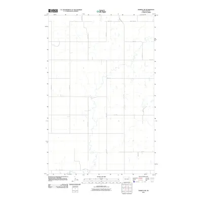
 2011 Southam2011 Print · USGSCovers Ramsey County, including Southam, United States, and other nearby areas
 - 2011 Map of Lakota NW, 2011 Print
 2011 Lakota NW2011 Print · USGSCovers Ramsey County, including Nelson County, United States, and other nearby areas
Showing maps 1-25 of 190
Top cities of Ramsey County
- Devils Lake historical maps
- Edmore historical maps
- Grand Harbor historical maps
- Starkweather historical maps
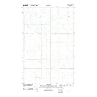
- Crary historical maps
- Webster historical maps
See more
Frequently asked questions
- What are the different types of historical maps available for Ramsey County?
- What is the oldest map of Ramsey County?
- Where can I purchase historical maps of Ramsey County for my home or office?
- Where can I download high-res historical maps of Ramsey County?
- Are there historical topographic maps available for Ramsey County?
- Is there historical aerial imagery available for Ramsey County?
- Where are historical maps of Ramsey County sourced from?