2000s (21st Century) Maps of Elma Township, North Dakota
Explore 20 historic maps of Elma Township from the 2000s (21st Century). These maps offer a rare glimpse into what life looked like during the 2000s — showing old roads, neighborhoods, homes, and landmarks that have changed or disappeared over time.
Whether you're researching your family's past, planning a metal detecting trip, or studying how Elma Township's landscape evolved across the 2000s, these high-resolution maps are a powerful tool for exploring the history of this region.
- Focus on a specific era: All maps on this page are from the 2000s, giving you a focused view of this time period.
- See what’s changed: Compare century-old streets, trails, and buildings to today's modern landscape using overlays and satellite layers.
- Research with precision: Use these maps for genealogy, historical research, land use analysis, or educational projects.
- View, download, or print: Maps are fully viewable online in high resolution, and can be downloaded or printed for your own records.
Start exploring Elma Township's history through authentic maps from the 2000s. This is your window into the past.
Elma Township, ND maps
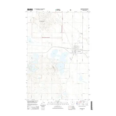
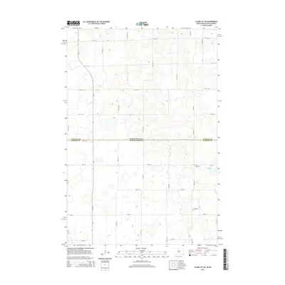
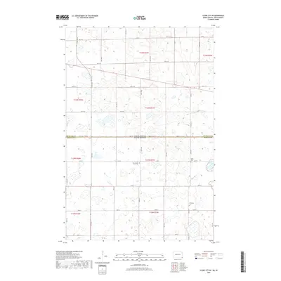
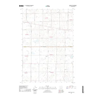
(20)- 2011 Map of Claire City NE, 2011 Print
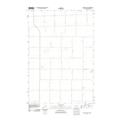 2011 Claire City NE2011 Print · USGSCovers Elma Township, including Heipa District, Duerr Township, and other nearby areas
 - 2011 Map of Hankinson, 2011 Print
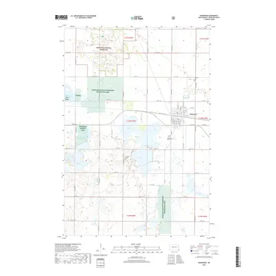
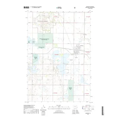
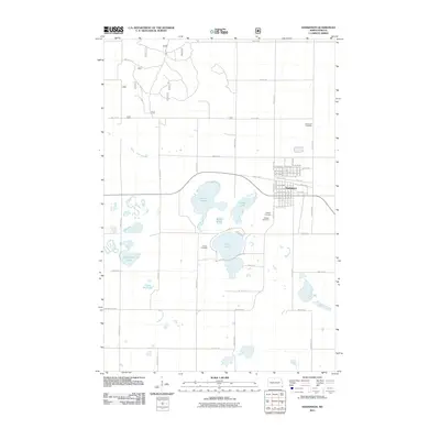 2011 Hankinson2011 Print · USGSCovers Elma Township, including Hankinson, Brightwood Township, and other nearby areas
 - 2011 Map of Swan Lake, 2011 Print
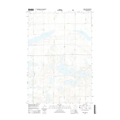
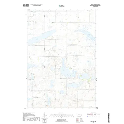
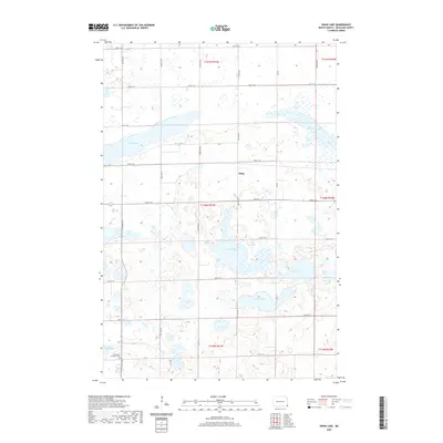
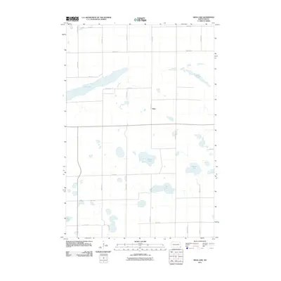 2011 Swan Lake2011 Print · USGSCovers Elma Township, including Brightwood Township, Belford Township, and other nearby areas
 - 2011 Map of New Effington NW, 2011 Print
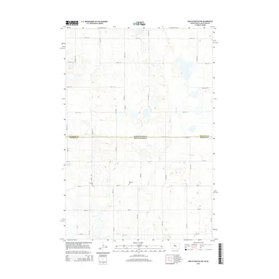
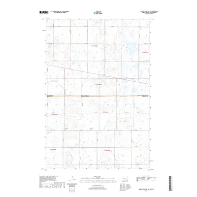
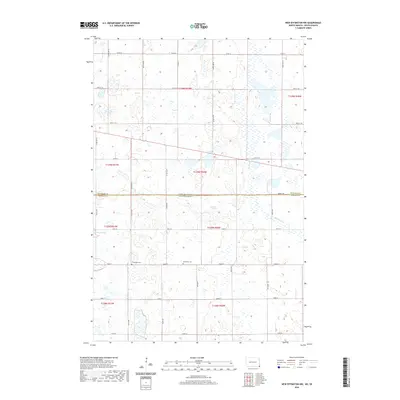
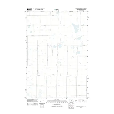 2011 New Effington NW2011 Print · USGSCovers Elma Township, including Lake Traverse District, Greendale Township, and other nearby areas
 - 2014 Map of Hankinson, 2014 Print
 2014 Hankinson2014 Print · USGSCovers Elma Township, including Hankinson, Brightwood Township, and other nearby areas
 - 2014 Map of Swan Lake, 2014 Print
 2014 Swan Lake2014 Print · USGSCovers Elma Township, including Brightwood Township, Belford Township, and other nearby areas
 - 2014 Map of New Effington NW, 2014 Print
 2014 New Effington NW2014 Print · USGSCovers Elma Township, including Lake Traverse District, Greendale Township, and other nearby areas
 - 2014 Map of Claire City NE, 2014 Print
 2014 Claire City NE2014 Print · USGSCovers Elma Township, including Heipa District, Duerr Township, and other nearby areas
 - 2017 Map of Swan Lake, 2017 Print
 2017 Swan Lake2017 Print · USGSCovers Elma Township, including Brightwood Township, Belford Township, and other nearby areas
 - 2018 Map of Claire City NE, 2018 Print
 2018 Claire City NE2018 Print · USGSCovers Elma Township, including Heipa District, Duerr Township, and other nearby areas
 - 2018 Map of New Effington NW, 2018 Print
 2018 New Effington NW2018 Print · USGSCovers Elma Township, including Lake Traverse District, Greendale Township, and other nearby areas
 - 2018 Map of Hankinson, 2018 Print
 2018 Hankinson2018 Print · USGSCovers Elma Township, including Hankinson, Brightwood Township, and other nearby areas
 - 2020 Map of Hankinson, 2020 Print
 2020 Hankinson2020 Print · USGSCovers Elma Township, including Hankinson, Brightwood Township, and other nearby areas
 - 2020 Map of New Effington NW, 2020 Print
 2020 New Effington NW2020 Print · USGSCovers Elma Township, including Lake Traverse District, Greendale Township, and other nearby areas
 - 2020 Map of Swan Lake, 2020 Print
 2020 Swan Lake2020 Print · USGSCovers Elma Township, including Brightwood Township, Belford Township, and other nearby areas
 - 2020 Map of Claire City NE, 2020 Print
 2020 Claire City NE2020 Print · USGSCovers Elma Township, including Heipa District, Duerr Township, and other nearby areas
 - 2024 Map of Claire City NE, 2024 Print
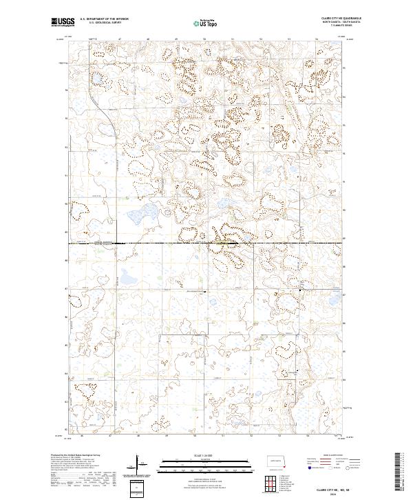 2024 Claire City NE2024 Print · USGSThe North Dakota and South Dakota borderlands are captured here in a period of modern prairie conservation and agricultural stability. Genealogists can locate family sites at Zion Lutheran Church Cem and Ferkingstad Cem near Indian Slough.
 - 2024 Map of New Effington NW, 2024 Print
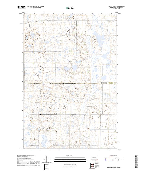 2024 New Effington NW2024 Print · USGSThe borderlands of North Dakota and South Dakota appear here as a preserved prairie landscape defined by conservation and early pioneer roots. Family historians can locate specific sites like the Bohemian Cem and Thompson Cem set against the Roberts County Waterfowl Production Area.
 - 2024 Map of Hankinson, 2024 Print
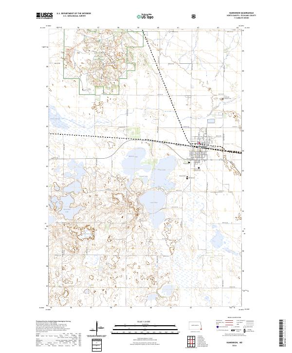 2024 Hankinson2024 Print · USGSSoutheast North Dakota’s prairie pothole region comes into focus here, centered on the rail hub of Hankinson and its surrounding wetlands. Genealogists and historians can locate several local burial sites, including Immanuel Lutheran Cem and Hillside Cem, near the shores of Lake Elsie.
 - 2024 Map of Swan Lake, 2024 Print
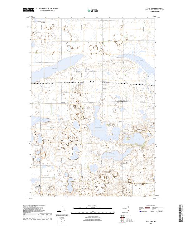 2024 Swan Lake2024 Print · USGSRichland County in the 2020s remains a landscape of prairie potholes and conservation land. Researchers can locate the Immanuel Lutheran Cem and trace the boundaries of the Richland County WPA near Stiles and Swan Lake.
End of results
Showing maps 1-20 of 20
Top cities near Elma Township
- Hankinson historical maps
- Lidgerwood historical maps
- Rosholt historical maps
- New Effington historical maps
- Victor historical maps
- Great Bend historical maps
See more
Frequently asked questions
- What are the different types of historical maps available for Elma Township?
- What is the oldest map of Elma Township?
- Where can I purchase historical maps of Elma Township for my home or office?
- Where can I download high-res historical maps of Elma Township?
- Are there historical topographic maps available for Elma Township?
- Is there historical aerial imagery available for Elma Township?
- Where are historical maps of Elma Township sourced from?