Old Maps of Went End Township, North Dakota for Academic Research
Study the evolution of Went End Township with 19 high-resolution historic maps. Whether you're teaching, researching, or modeling changes in land use, these maps provide essential visual documentation of urban, environmental, and geographic change.
- Analyze long-term change: Track patterns in development, transportation, and natural features.
- Ideal for environmental or urban studies: Support academic projects with primary historical map data.
- Use in the classroom or lab: Educators and researchers rely on these maps to bring historical context to life.
These maps are a powerful tool for teaching, research, and visualizing how Went End Township has changed over the decades.
Went End Township, ND maps
(19)- 1907 Map of Wyndmere
 1907 Wyndmere1907 Print · USGSRichland and Sargent counties are seen here in the early 1900s during the height of the prairie railroad boom. Genealogists and historians can trace the paths of five different rail lines serving early towns like Milnor, Wyndmere, and Sandoun Mc Leod P O.2 unique versions available
 - 1953 Map of Fargo, 1965 Print
 1953 Fargo1965 Print · USGSThe Red River Valley in the mid-fifties was a bustling rail and agricultural corridor during a period of steady prairie growth. Genealogists and historians can trace the intricate rail networks of the Great Northern and Soo Line connecting local hubs like Casselton and Wahpeton.2 unique versions available
 - 1956 Map of Fargo
 1956 Fargo1956 Print · USGSThe Red River Valley's agricultural heartland is documented here in the mid-fifties as the rail-and-road network expanded across the plains. Genealogists can trace family roots through numerous small railroad towns and local landmarks like Casselton, Sheyenne Valley Church, and Sisseton Indian Res.
 - 1960 Map of Wyndmere, 1961 Print
 1960 Wyndmere1961 Print · USGSRichland County at the start of the sixties reveals a thriving rail hub where the Northern Pacific meets the Soo Line. Genealogists and historians can trace the rural landscape of Homestead and Danton or locate the local Drive-in Theater.
 - 1960 Map of De Lamere, 1962 Print
 1960 De Lamere1962 Print · USGSThe North Dakota prairie near De Lamere is captured here during the early 1960s as a thriving rail-and-well agricultural hub. Genealogists can locate specific landmarks like the Anderson Cem, School No 1, and the many Flowing Wells that sustained these rural townships.
 - 1986 Map of Lisbon
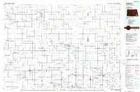 1986 Lisbon1986 Print · USGSSoutheastern North Dakota's prairie landscape is mapped here in the mid-1980s, showcasing a region defined by its river valleys and rail-fed agricultural towns. Researchers can trace the heritage of communities like Gwinner and Cayuga or locate family markers at Oakwood Cem.2 unique versions available
 - 1989 Map of Fargo, 1990 Print
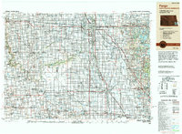 1989 Fargo1990 Print · USGSThe Red River Valley at the end of the eighties shows a landscape of flourishing university towns and vital rail corridors. Researchers can trace family roots through Riverside Cem, find early campus layouts for North Dakota State University, or follow the Soo Line Railroad through West Fargo.
 - 1998 Map of Wyndmere, 2000 Print
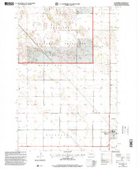 1998 Wyndmere2000 Print · USGSRichland County at the close of the twentieth century shows a landscape split between the Sheyenne National Grassland and the agricultural hub of Wyndmere. Local researchers can locate the Drive-in Theater, Ponderosa Ranch, and several flowing wells.
 - 1998 Map of De Lamere, 2000 Print
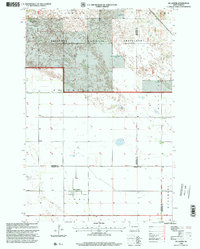 1998 De Lamere2000 Print · USGSNorth Dakota's southeastern prairie reveals its late-twentieth-century agricultural character and survey grid. Genealogists and local historians can locate De Lamere, trace family roots at Anderson Cem, and identify rural landmarks like School No 1 and the Town Hall.
 - 2011 Map of Wyndmere, 2011 Print
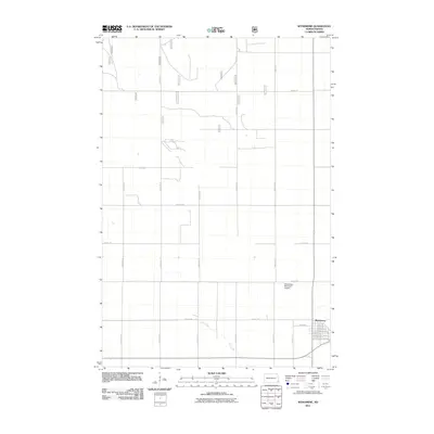 2011 Wyndmere2011 Print · USGSWyndmere and the surrounding Richland County plains are captured in the early twenty-first century as a landscape of grid-patterned farms and small-town roots. Researchers can trace the town layout from Elm Ave to Gilead, or locate the Wyndmere Municipal Airport and the course of Elk Creek.
 - 2011 Map of De Lamere, 2011 Print
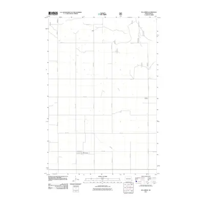 2011 De Lamere2011 Print · USGSThe community of De Lamere and the surrounding prairie are documented here during the early twenty-first century. Researchers can locate the Anderson Cemetery and trace the path of Elk Creek across a landscape defined by an extensive grid of section-line roads.
 - 2014 Map of De Lamere, 2014 Print
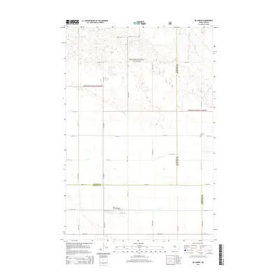 2014 De Lamere2014 Print · USGSDe Lamere and the surrounding prairie are captured here in the mid-2010s at the intersection of three counties. Genealogists and researchers can locate the Anderson Cem or trace the drainage of Elk Creek near the Sheyenne National Grassland.
 - 2014 Map of Wyndmere, 2014 Print
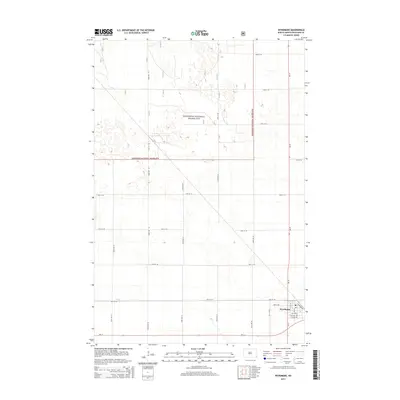 2014 Wyndmere2014 Print · USGSThe town of Wyndmere and the surrounding prairie of Richland County are shown here in the early twenty-first century. Researchers can trace the local street grid near Elevator Rd or explore the vast section lines of the Sheyenne National Grassland.
 - 2017 Map of De Lamere, 2017 Print
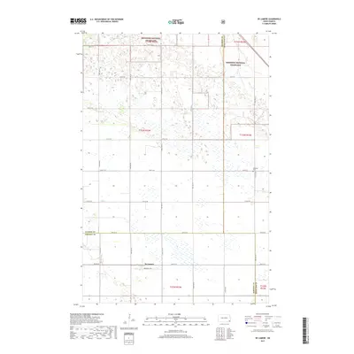 2017 De Lamere2017 Print · USGSThe North Dakota plains near De Lamere are shown here as they appeared in 2017, where the prairie meets organized agriculture. Genealogists and local historians can trace the boundary of the Sheyenne National Grassland and locate the Anderson Cem among the section roads.
 - 2018 Map of Wyndmere, 2018 Print
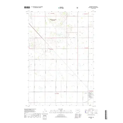 2018 Wyndmere2018 Print · USGSRichland County at the edge of the prairie reveals a landscape defined by the Sheyenne National Grassland and the town of Wyndmere. Researchers can trace town streets like Fir Ave or follow the path of Elk Cr through the surrounding sections.
 - 2020 Map of De Lamere, 2020 Print
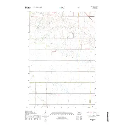 2020 De Lamere2020 Print · USGSNorth Dakota's southeastern prairie is documented here as it appeared in the late 2010s. Local researchers can locate De Lamere and trace family roots at Anderson Cem or explore the borders of the Sheyenne National Grassland.
 - 2020 Map of Wyndmere, 2020 Print
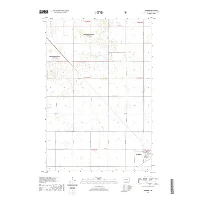 2020 Wyndmere2020 Print · USGSRichland County, North Dakota, is captured here in the early twenty-first century as a land of both prairie conservation and agricultural precision. Genealogists and local historians can trace the specific street grid of Wyndmere and the rural borders of the Sheyenne National Grassland along Elk Cr.
 - 2024 Map of Wyndmere, 2024 Print
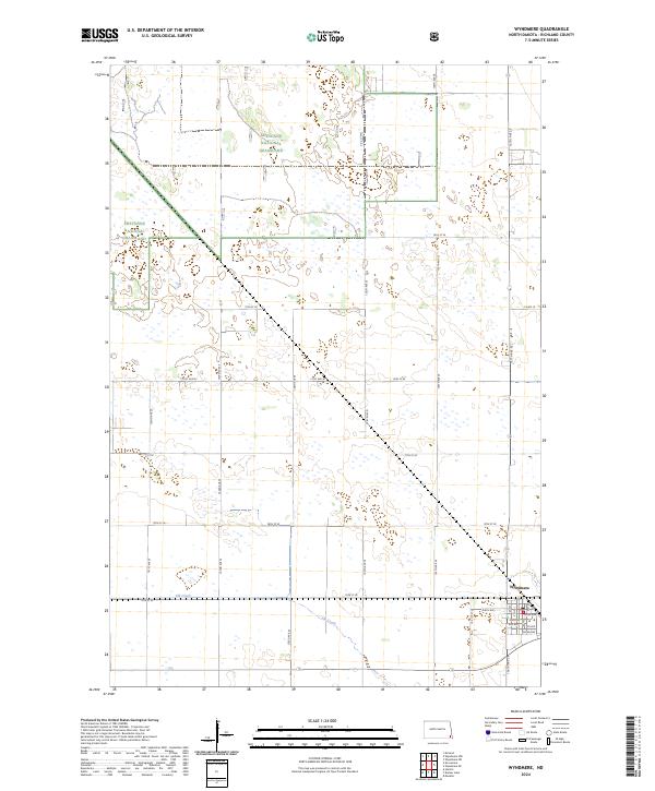 2024 Wyndmere2024 Print · USGSThe rural landscape around Wyndmere in the 2020s shows a structured balance between agriculture and conservation. Researchers can trace the local street grid of Wyndmere or explore the preserved sections of the Sheyenne National Grassland.
 - 2024 Map of De Lamere, 2024 Print
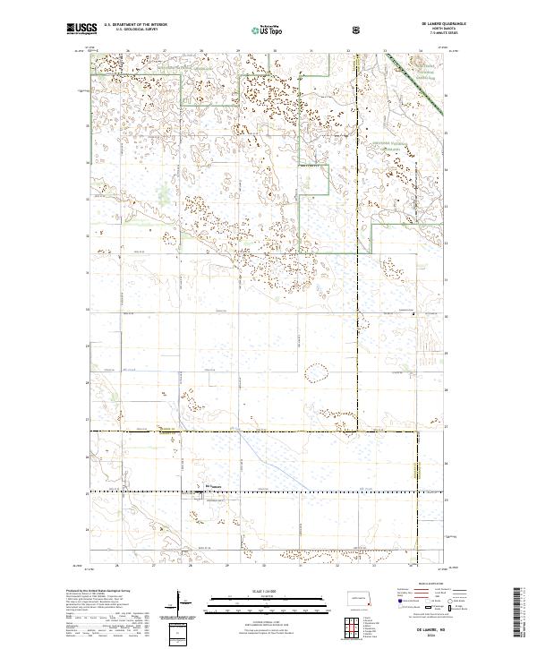 2024 De Lamere2024 Print · USGSSoutheast North Dakota's prairie landscape is captured here in the contemporary era, showing the intersection of three counties and the open Sheyenne National Grassland. Genealogists and local historians can trace the settlement of De Lamere and locate the Anderson Cem along the township's rural road network.
End of results
Showing maps 1-19 of 19
Top cities near Went End Township
- Wyndmere historical maps
- Barrie Township historical maps
- Barney historical maps
- Coburn Township historical maps
Frequently asked questions
- What are the different types of historical maps available for Went End Township?
- What is the oldest map of Went End Township?
- Where can I purchase historical maps of Went End Township for my home or office?
- Where can I download high-res historical maps of Went End Township?
- Are there historical topographic maps available for Went End Township?
- Is there historical aerial imagery available for Went End Township?
- Where are historical maps of Went End Township sourced from?