2020s Maps of Steele County, North Dakota
Explore 50 historic maps of Steele County from the 2020s. These maps offer a rare glimpse into what life looked like during the 2020s — showing old roads, neighborhoods, homes, and landmarks that have changed or disappeared over time.
Whether you're researching your family's past, planning a metal detecting trip, or studying how Steele County's landscape evolved across the 2020s, these high-resolution maps are a powerful tool for exploring the history of this region.
- Focus on a specific era: All maps on this page are from the 2020s, giving you a focused view of this time period.
- See what’s changed: Compare century-old streets, trails, and buildings to today's modern landscape using overlays and satellite layers.
- Research with precision: Use these maps for genealogy, historical research, land use analysis, or educational projects.
- View, download, or print: Maps are fully viewable online in high resolution, and can be downloaded or printed for your own records.
Start exploring Steele County's history through authentic maps from the 2020s. This is your window into the past.
Steele County, ND maps
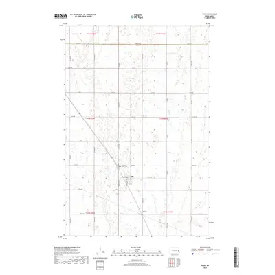
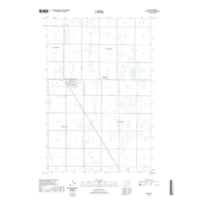
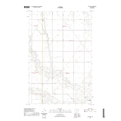
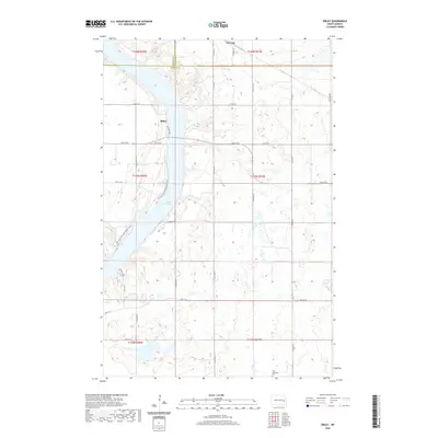
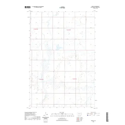
(50)- 2020 Map of Aneta, 2020 Print
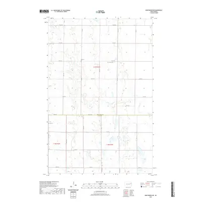
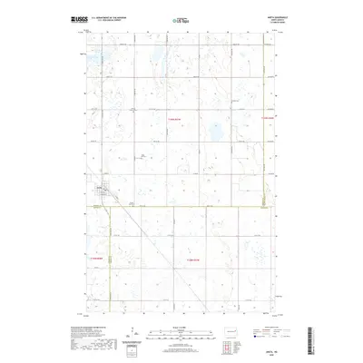 2020 Aneta2020 Print · USGSCovers Steele County, including Aneta, Sharon Township, and other nearby areas
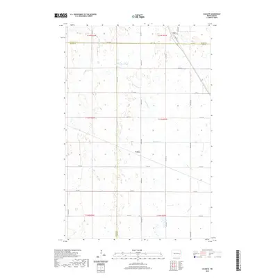
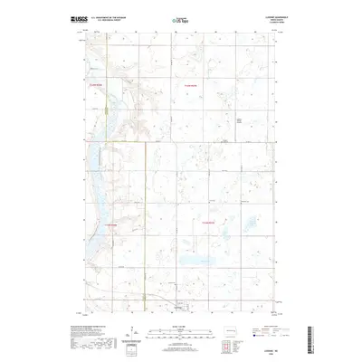
 - 2020 Map of Luverne NW, 2020 Print
 2020 Luverne NW2020 Print · USGSCovers Steele County, including Greenview Township, Franklin Township, and other nearby areas
 - 2020 Map of Hatton, 2020 Print
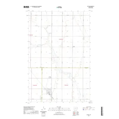 2020 Hatton2020 Print · USGSCovers Steele County, including Hatton, Newburgh Township, and other nearby areas
 - 2020 Map of Pillsbury, 2020 Print
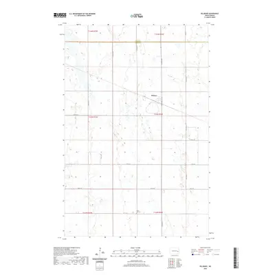 2020 Pillsbury2020 Print · USGSCovers Steele County, including Pillsbury, Grand Prairie Township, and other nearby areas
 - 2020 Map of Colgate, 2020 Print
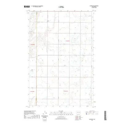
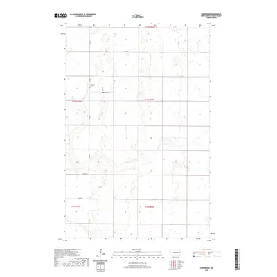
 2020 Colgate2020 Print · USGSCovers Steele County, including Colgate Township, Carpenter Township, and other nearby areas
 - 2020 Map of Sherbrooke, 2020 Print
 2020 Sherbrooke2020 Print · USGSCovers Steele County, including Sherbrooke Township, Golden Lake Township, and other nearby areas
 - 2020 Map of Page, 2020 Print
 2020 Page2020 Print · USGSCovers Steele County, including Page, Colgate Township, and other nearby areas
 - 2020 Map of Hope, 2020 Print
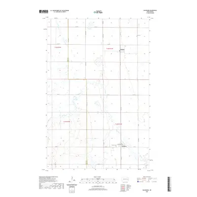
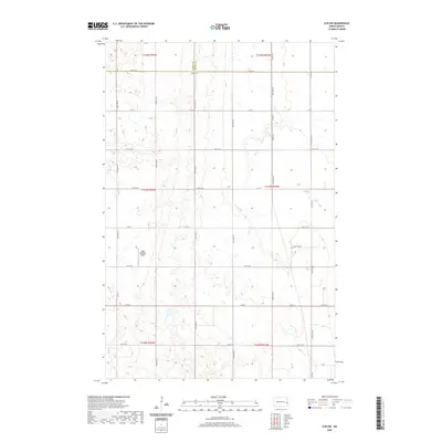
 2020 Hope2020 Print · USGSCovers Steele County, including Hope, Colgate Township, and other nearby areas
 - 2020 Map of Hatton SW, 2020 Print
 2020 Hatton SW2020 Print · USGSCovers Steele County, including Portland, Enger Township, and other nearby areas
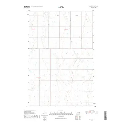
 - 2020 Map of Luverne, 2020 Print
 2020 Luverne2020 Print · USGSCovers Steele County, including Luverne, Riverside Township, and other nearby areas
 - 2020 Map of Luverne SE, 2020 Print
 2020 Luverne SE2020 Print · USGSCovers Steele County, including Carpenter Township, Melrose Township, and other nearby areas
 - 2020 Map of Finley, 2020 Print
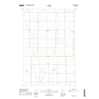
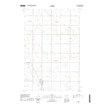 2020 Finley2020 Print · USGSCovers Steele County, including Finley, Sharon Township, and other nearby areas
 - 2020 Map of Sibley, 2020 Print
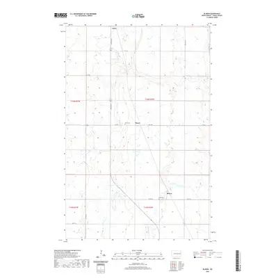
 2020 Sibley2020 Print · USGSCovers Steele County, including Sibley, Luverne, and other nearby areas
 - 2020 Map of Finley NE, 2020 Print
 2020 Finley NE2020 Print · USGSCovers Steele County, including Sharon Township, Westfield Township, and other nearby areas
 - 2020 Map of Galesburg, 2020 Print
 2020 Galesburg2020 Print · USGSCovers Steele County, including Galesburg, Clifford, and other nearby areas
 - 2020 Map of Sharon, 2020 Print
 2020 Sharon2020 Print · USGSCovers Steele County, including Sharon, Sharon Township, and other nearby areas
 - 2020 Map of Hope SE, 2020 Print
 2020 Hope SE2020 Print · USGSCovers Steele County, including Colgate Township, Edendale Township, and other nearby areas
 - 2020 Map of Blabon, 2020 Print
 2020 Blabon2020 Print · USGSCovers Steele County, including Finley, Pickert, and other nearby areas
 - 2020 Map of Ayr NW, 2020 Print
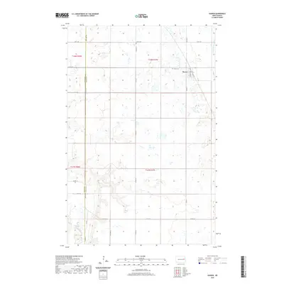
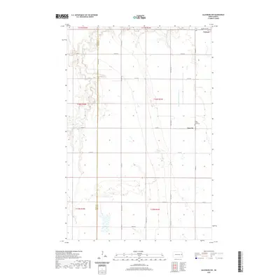
 2020 Ayr NW2020 Print · USGSCovers Steele County, including Dows Township, Page Township, and other nearby areas
 - 2020 Map of Hope NE, 2020 Print
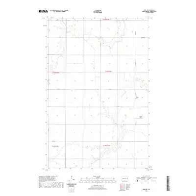 2020 Hope NE2020 Print · USGSCovers Steele County, including Sherbrooke Township, Edendale Township, and other nearby areas
 - 2020 Map of Northwood, 2020 Print
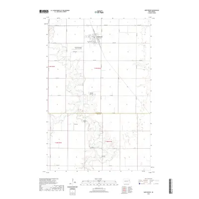 2020 Northwood2020 Print · USGSCovers Steele County, including Northwood, Beaver Creek Township, and other nearby areas
 - 2020 Map of Golden Lake, 2020 Print
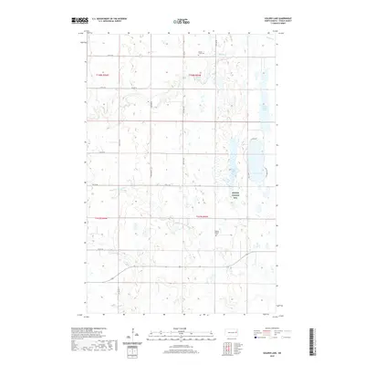 2020 Golden Lake2020 Print · USGSCovers Steele County, including Golden Lake Township, Beaver Creek Township, and other nearby areas
 - 2020 Map of Galesburg NW, 2020 Print
 2020 Galesburg NW2020 Print · USGSCovers Steele County, including Portland, Roseville, and other nearby areas
 - 2020 Map of Northwood SE, 2020 Print
 2020 Northwood SE2020 Print · USGSCovers Steele County, including Enger Township, Golden Lake Township, and other nearby areas
 - 2020 Map of Northwood NW, 2020 Print
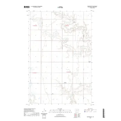
 2020 Northwood NW2020 Print · USGSCovers Steele County, including Beaver Creek Township, Westfield Township, and other nearby areas
Showing maps 1-25 of 50
Top cities of Steele County
- Finley historical maps
- Hope historical maps
- Sharon historical maps
- Colgate Township historical maps
- Sherbrooke Township historical maps
- Luverne historical maps
Frequently asked questions
- What are the different types of historical maps available for Steele County?
- What is the oldest map of Steele County?
- Where can I purchase historical maps of Steele County for my home or office?
- Where can I download high-res historical maps of Steele County?
- Are there historical topographic maps available for Steele County?
- Is there historical aerial imagery available for Steele County?
- Where are historical maps of Steele County sourced from?