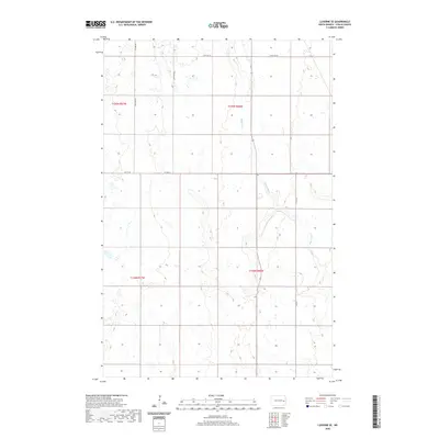
2020 Map of Luverne SE
USGS Topo · Published 2020About this map
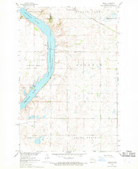
The Maple River meanders through this portion of Steele County, carving a distinct valley through the section lines of the Public Land Survey System. The landscape is defined by the grid of the northern Great Plains, where township boundaries like t145n r56w and t144n r57w organize the agricultural interior. This survey captures the rural infrastructure of the early 21st century, dominated by a network of secondary routes and section roads including Co Hwy 8A and 129th Ave SE. The river's path provides a sharp contrast to the geometric precision of the surrounding farmland, indicating the natural drainage patterns that have shaped land use in the region for generations.
Find a feature on this map
12 named features on this map. Tap any name to fly to it.
Don’t see what you’re looking for? This feature index may not catch every label — zoom into the map to look around manually.
Map Details
Editions of this 2020 Luverne SE Map
This is the sole edition of this map. No revisions or reprints were ever made.
Other maps of this area

1952 · Grand Forks
USGS Topo · 1:250,000

1956 · Grand Forks
USGS Topo · 1:250,000

1966 · Grand Forks
USGS Topo · 1:250,000

1967 · Blabon
USGS Topo · 1:24,000
1967 · Luverne
USGS Topo · 1:24,000
1967 · Pillsbury
USGS Topo · 1:24,000
1967 · Luverne NW
USGS Topo · 1:24,000

1967 · Colgate
USGS Topo · 1:24,000
1967 · Sibley
USGS Topo · 1:24,000

1967 · Luverne SE
USGS Topo · 1:24,000
Featured Places
- Carpenter Township, ND
- Melrose Township, ND
- Riverside Township, ND
- Willow Lake Township, ND
- Steele County, ND