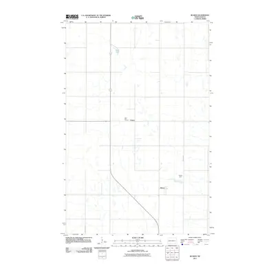
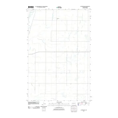
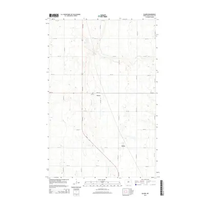
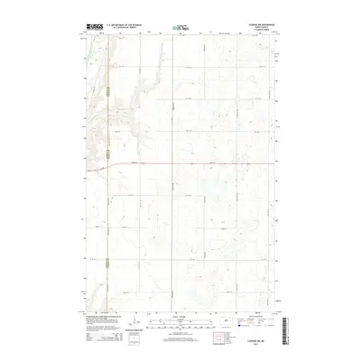
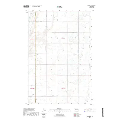
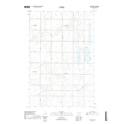
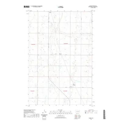
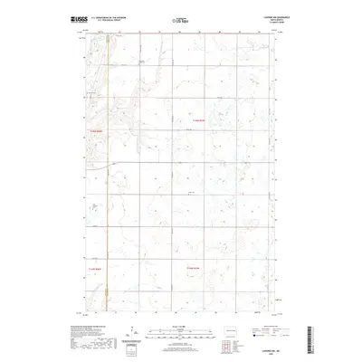
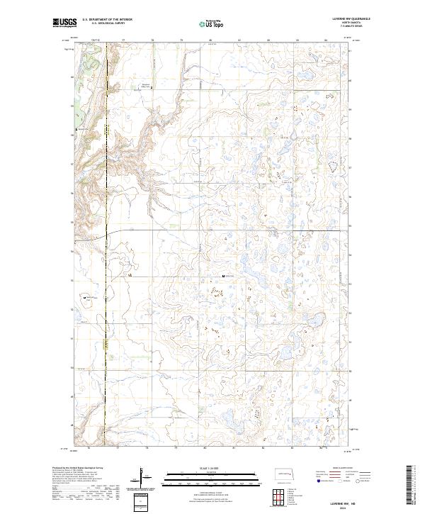
1967 Map of Luverne SE
USGS Topo · Published 1969About this map
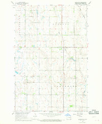
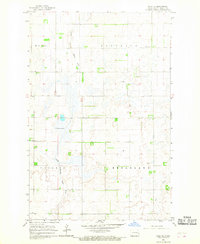
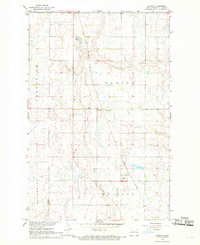
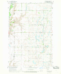
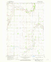
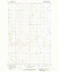
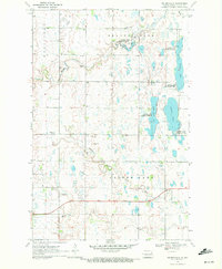
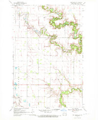
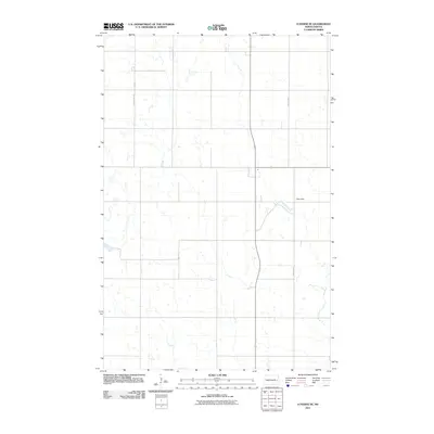
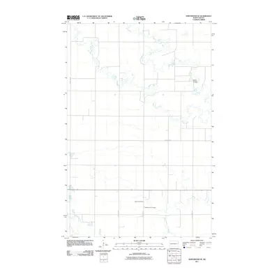
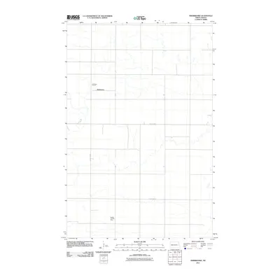
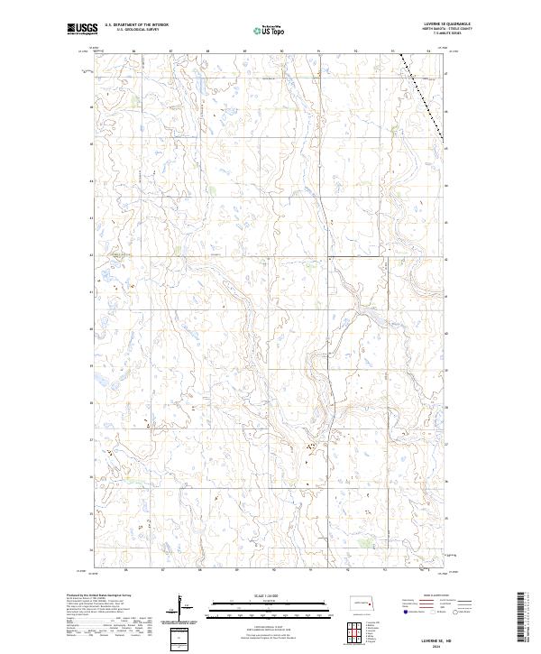
The Maple River meanders through the heart of this North Dakota landscape, defining the character of the Melrose and Carpenter townships during the late 1960s. This survey, part of the Missouri River Basin development program, captures a rural prairie environment marked by scattered wetlands and the significant waters of Willow Lake. The terrain is shaped by glacial remnants, reflected in the numerous small depressions and the presence of several Gravel Pits concentrated near the riverbanks.
Find a feature on this map
9 named features on this map. Tap any name to fly to it.
Don’t see what you’re looking for? This feature index may not catch every label — zoom into the map to look around manually.
Map Details
Editions of this 1967 Luverne SE Map
This is the sole edition of this map. No revisions or reprints were ever made.
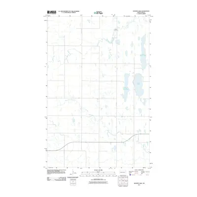
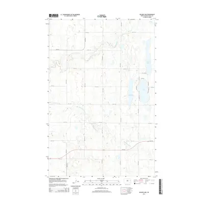
Historical Maps of Willow Lake Township Through Time
48 maps found
1966 Hope SE
Steele County, ND
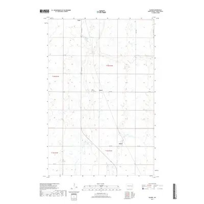
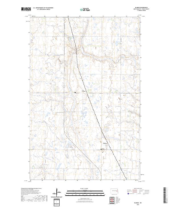
1967 Blabon
Steele County, ND
1967 Luverne NW
Steele County, ND
1967 Luverne SE
Steele County, ND
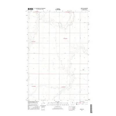
1968 Hope NE
Steele County, ND
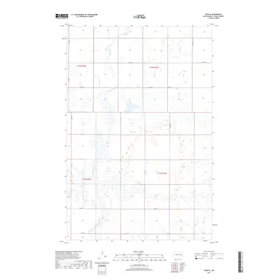
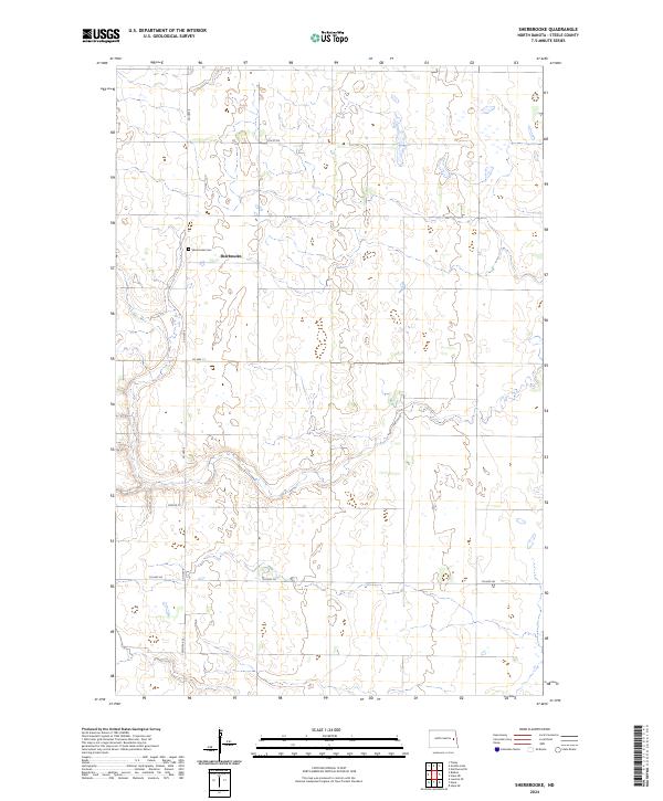
1968 Sherbrooke
Steele County, ND
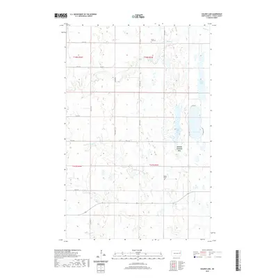
1970 Golden Lake
Steele County, ND
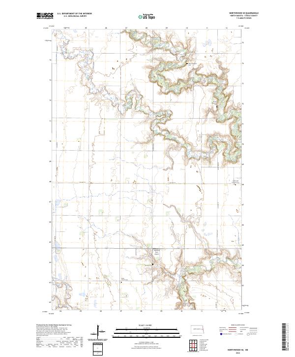
1970 Northwood SE
Steele County, ND
2011 Blabon
Steele County, ND
2011 Golden Lake
Steele County, ND
2011 Hope NE
Steele County, ND
2011 Hope SE
Steele County, ND
2011 Luverne NW
Steele County, ND
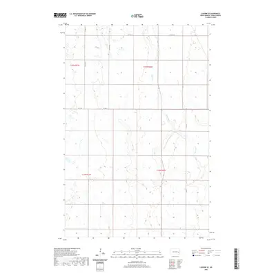
2011 Luverne SE
Steele County, ND
2011 Northwood SE
Steele County, ND
2011 Sherbrooke
Steele County, ND
2014 Blabon
Steele County, ND
2014 Golden Lake
Steele County, ND
2014 Hope NE
Steele County, ND
2014 Hope SE
Steele County, ND
2014 Luverne NW
Steele County, ND
2014 Luverne SE
Steele County, ND
2014 Northwood SE
Steele County, ND
2014 Sherbrooke
Steele County, ND
2017 Blabon
Steele County, ND
2017 Hope NE
Steele County, ND
2017 Hope SE
Steele County, ND
2017 Luverne NW
Steele County, ND
2018 Golden Lake
Steele County, ND
2018 Luverne SE
Steele County, ND
2018 Northwood SE
Steele County, ND
2018 Sherbrooke
Steele County, ND
2020 Blabon
Steele County, ND
2020 Golden Lake
Steele County, ND
2020 Hope NE
Steele County, ND
2020 Hope SE
Steele County, ND
2020 Luverne NW
Steele County, ND
2020 Luverne SE
Steele County, ND
2020 Northwood SE
Steele County, ND
2020 Sherbrooke
Steele County, ND
2024 Blabon
Steele County, ND
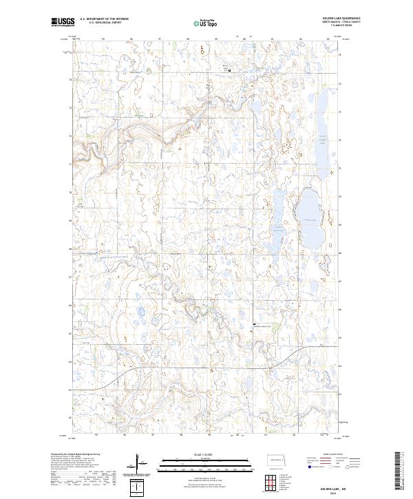
2024 Golden Lake
Steele County, ND
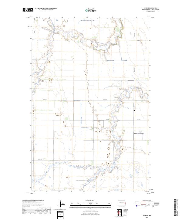
2024 Hope NE
Steele County, ND
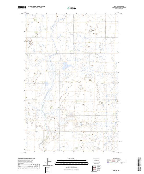
2024 Hope SE
Steele County, ND
2024 Luverne NW
Steele County, ND
2024 Luverne SE
Steele County, ND
2024 Northwood SE
Steele County, ND
2024 Sherbrooke
Steele County, ND
Featured Locations
- Steele County, ND
- Melrose Township, ND
- Riverside Township, ND
- Carpenter Township, ND
- Willow Lake Township, ND