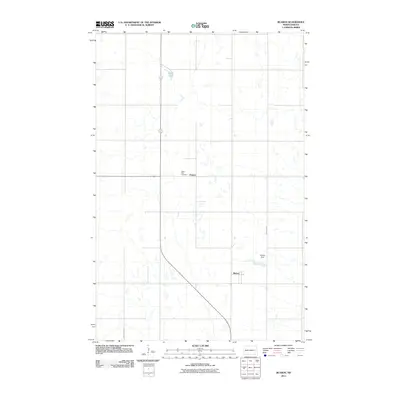
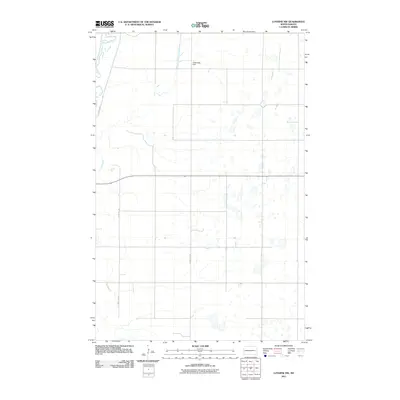
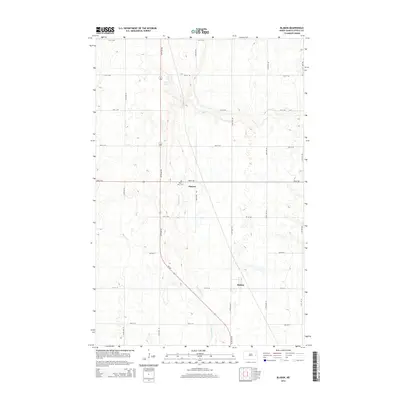
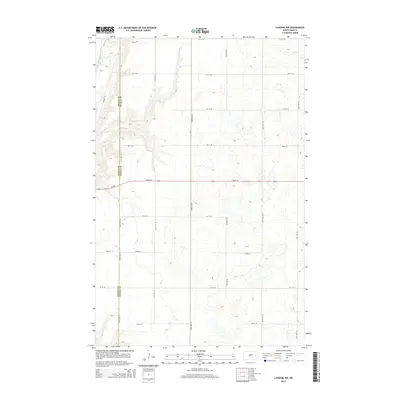
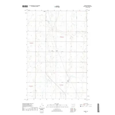
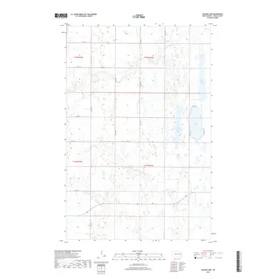
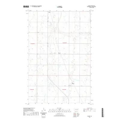
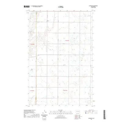
1967 Map of Blabon
USGS Topo · Published 1969About this map
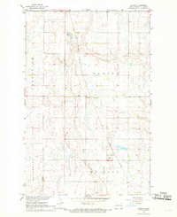
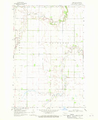
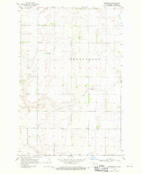
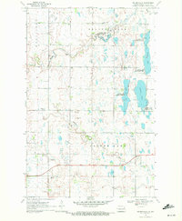
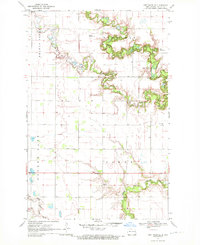
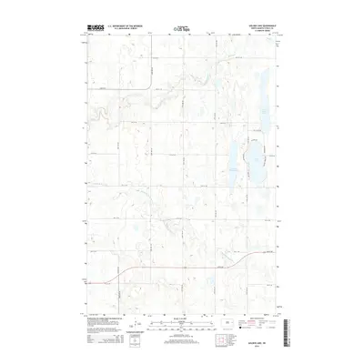
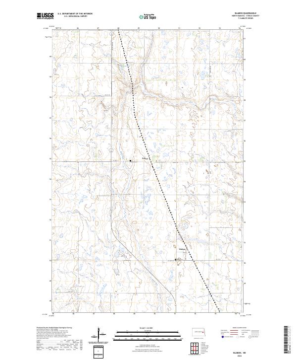
Great Northern rail lines cut a diagonal path across this agricultural landscape in Steele County, anchoring the small settlements of Blabon and Pickert. The terrain is characterized by the winding course of the Maple River, which meanders through the central townships of Easton, Melrose, Greenview, and Riverside. This 1960s-era survey provides a detailed look at the rural infrastructure of the Missouri River Basin development era, including small-scale landmarks such as a Gaging Station, a local Landing Strip, and several Gravel Pits. Local history is preserved through the locations of the St Petri Ch and its adjacent St Petri Cem, alongside the Finley Cem near the northern boundary. The map captures a moment when rail transport and natural water bodies like Lynch Lake remained central to the organization of these North Dakota townships.
Find a feature on this map
18 named features on this map. Tap any name to fly to it.
Don’t see what you’re looking for? This feature index may not catch every label — zoom into the map to look around manually.
Map Details
Editions of this 1967 Blabon Map
This is the sole edition of this map. No revisions or reprints were ever made.
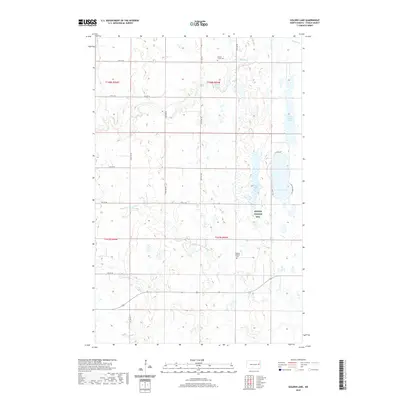
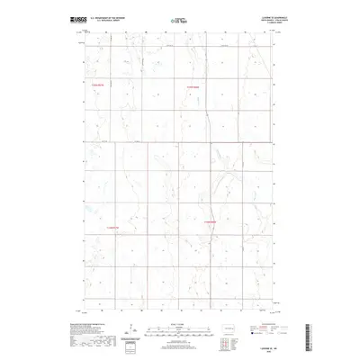
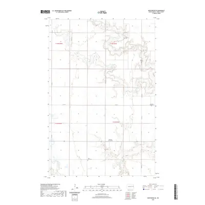
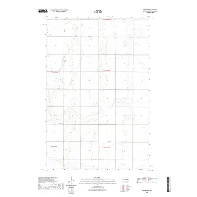
Historical Maps of Finley Through Time
48 maps found
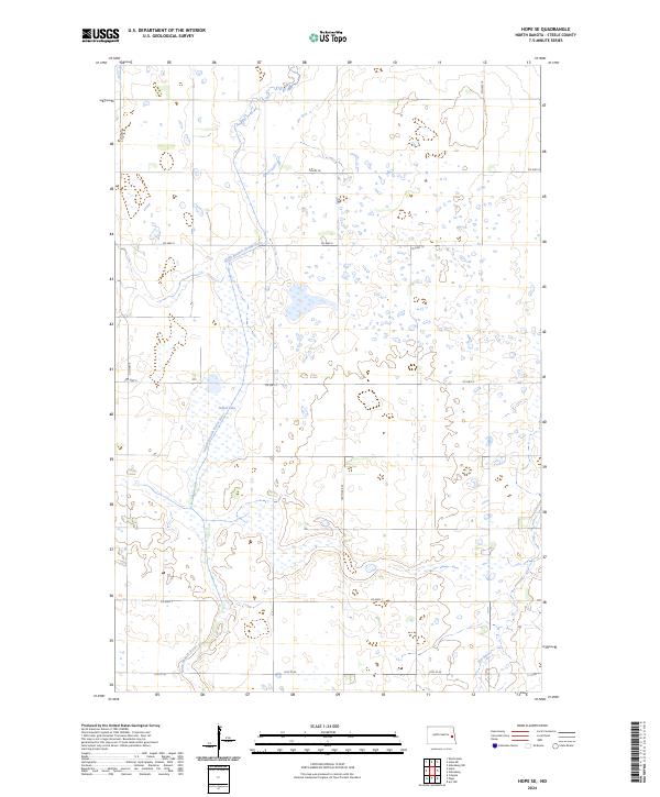
1966 Hope SE
Steele County, ND
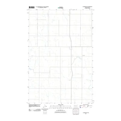
1967 Blabon
Steele County, ND
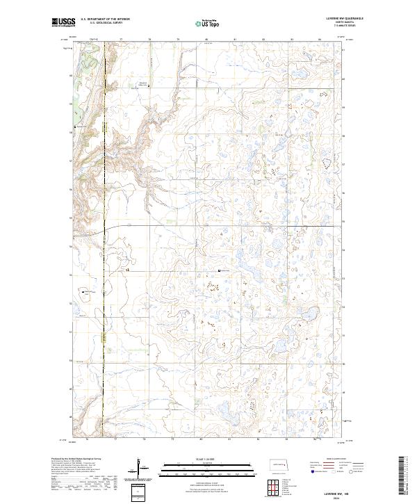
1967 Luverne NW
Steele County, ND
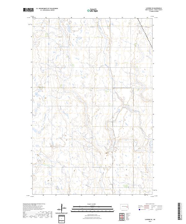
1967 Luverne SE
Steele County, ND
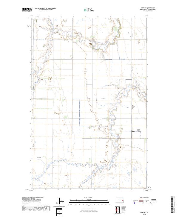
1968 Hope NE
Steele County, ND
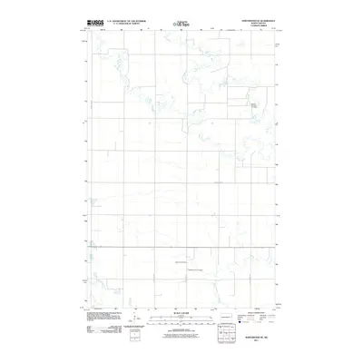
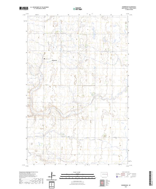
1968 Sherbrooke
Steele County, ND
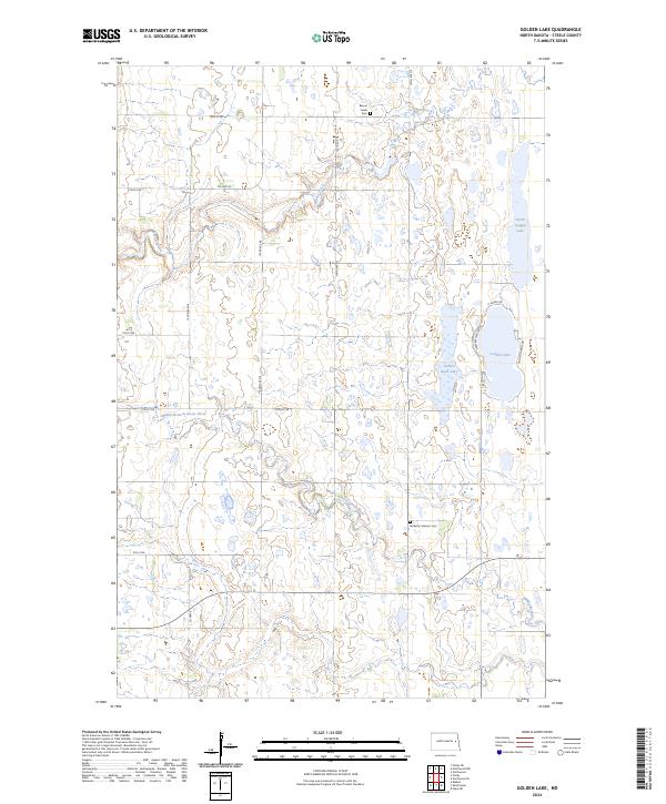
1970 Golden Lake
Steele County, ND
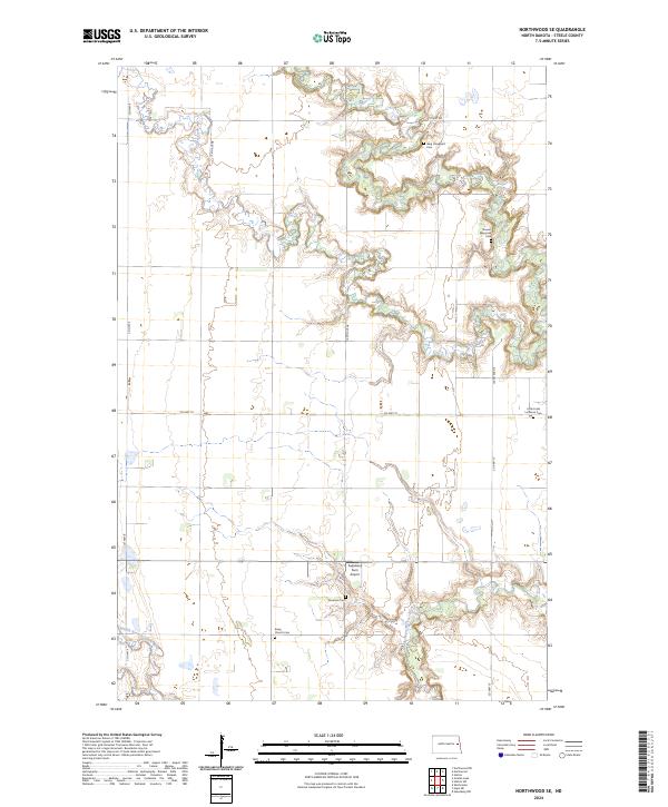
1970 Northwood SE
Steele County, ND
2011 Blabon
Steele County, ND
2011 Golden Lake
Steele County, ND
2011 Hope NE
Steele County, ND
2011 Hope SE
Steele County, ND
2011 Luverne NW
Steele County, ND
2011 Luverne SE
Steele County, ND
2011 Northwood SE
Steele County, ND
2011 Sherbrooke
Steele County, ND
2014 Blabon
Steele County, ND
2014 Golden Lake
Steele County, ND
2014 Hope NE
Steele County, ND
2014 Hope SE
Steele County, ND
2014 Luverne NW
Steele County, ND
2014 Luverne SE
Steele County, ND
2014 Northwood SE
Steele County, ND
2014 Sherbrooke
Steele County, ND
2017 Blabon
Steele County, ND
2017 Hope NE
Steele County, ND
2017 Hope SE
Steele County, ND
2017 Luverne NW
Steele County, ND
2018 Golden Lake
Steele County, ND
2018 Luverne SE
Steele County, ND
2018 Northwood SE
Steele County, ND
2018 Sherbrooke
Steele County, ND
2020 Blabon
Steele County, ND
2020 Golden Lake
Steele County, ND
2020 Hope NE
Steele County, ND
2020 Hope SE
Steele County, ND
2020 Luverne NW
Steele County, ND
2020 Luverne SE
Steele County, ND
2020 Northwood SE
Steele County, ND
2020 Sherbrooke
Steele County, ND
2024 Blabon
Steele County, ND
2024 Golden Lake
Steele County, ND
2024 Hope NE
Steele County, ND
2024 Hope SE
Steele County, ND
2024 Luverne NW
Steele County, ND
2024 Luverne SE
Steele County, ND
2024 Northwood SE
Steele County, ND
2024 Sherbrooke
Steele County, ND