Old Maps of Beaver Creek Township, North Dakota for Academic Research
Study the evolution of Beaver Creek Township with 28 high-resolution historic maps. Whether you're teaching, researching, or modeling changes in land use, these maps provide essential visual documentation of urban, environmental, and geographic change.
- Analyze long-term change: Track patterns in development, transportation, and natural features.
- Ideal for environmental or urban studies: Support academic projects with primary historical map data.
- Use in the classroom or lab: Educators and researchers rely on these maps to bring historical context to life.
These maps are a powerful tool for teaching, research, and visualizing how Beaver Creek Township has changed over the decades.
Beaver Creek Township, ND maps
(28)- 1952 Map of Grand Forks, 1967 Print
 1952 Grand Forks1967 Print · USGSThe Red River Valley in the early fifties is shown here at the height of its rail-and-river agricultural economy. Researchers can locate small-town landmarks like the Pleasant View School, the Immanuel Lutheran Church, and trace the path of the Soo Line Railroad.3 unique versions available
 - 1956 Map of Grand Forks
 1956 Grand Forks1956 Print · USGSThe Red River Valley in the mid-fifties is captured here as a thriving corridor of grain elevators and rail-linked towns along the North Dakota and Minnesota border. Researchers can trace historic church sites like Immanuel Lutheran Church, vanished rail stops at Tilde Junction, and the boundaries of the White Earth Indian Reservation.
 - 1966 Map of Grand Forks
 1966 Grand Forks1966 Print · USGSThe Red River Valley in the mid-sixties shows a landscape shaped by rail-line commerce and complex water management. Genealogists and historians can trace rail-side towns like Emerado and Hunter or locate rural landmarks like the Pleasant View Church.
 - 1970 Map of Northwood SE, 1972 Print
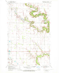 1970 Northwood SE1972 Print · USGSSteele County's rural townships were characterized by sprawling grain farms and quiet community centers in the 1970s. Researchers can pinpoint early landmarks like Little Forks Ch, the Townhall, and family burial sites including Stevens Memorial Cem.
 - 1970 Map of Northwood NW, 1972 Print
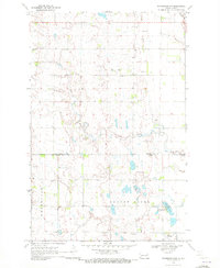 1970 Northwood NW1972 Print · USGSThe Grand Forks and Steele county line is defined by quiet prairie drainages and social centers like Bethania Ch in the early seventies. Genealogists can trace family roots through the Herickson Cem, Hanson Cem, and community Townhall locations.
 - 1970 Map of Northwood, 1972 Print
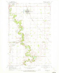 1970 Northwood1972 Print · USGSNorthwood and the surrounding prairie are captured here in the early 1970s, as the Burlington Northern rail line cuts across the fertile valley. Genealogists and researchers can trace the winding Goose River, locate the Lutheran Cem, and find the Vince Landing Strip north of the county line.
 - 1970 Map of Golden Lake, 1972 Print
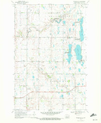 1970 Golden Lake1972 Print · USGSSteele County, North Dakota, is captured here in the early 1970s as a landscape of prairie potholes and winding creeks. Genealogists and local historians can locate family landmarks such as Beaver Creek Church, Bethany Church, and a rural Cemetery.
 - 1985 Map of Grand Forks
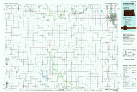 1985 Grand Forks1985 Print · USGSThe Red River Valley in the mid-1980s was a landscape of deep-rooted agriculture and rising military significance. Genealogists and researchers can trace the rail-tied development of towns like Larimore and Northwood alongside major landmarks like Grand Forks Air Force Base and Turtle River State Park.2 unique versions available
 - 2011 Map of Golden Lake, 2011 Print
 2011 Golden Lake2011 Print · USGSSteele County's prairie wetlands are documented here in the early 2000s, showcasing the intricate water systems of the Red River Valley. Researchers can trace the drainage patterns and land divisions between Golden Lake and the Middle Branch Goose River.
 - 2011 Map of Northwood SE, 2011 Print
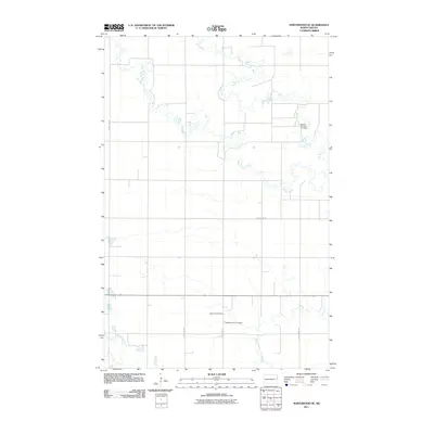 2011 Northwood SE2011 Print · USGSEnger Township's rural landscape is captured here in the early twenty-first century, showing the enduring grid of Steele County farm country. Genealogists and local historians can locate legacy sites like Stavens Memorial Cemetery and the Fugleberg Farm Airport.
 - 2011 Map of Northwood NW, 2011 Print
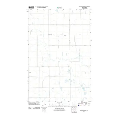 2011 Northwood NW2011 Print · USGSBeaver Creek Township and the surrounding plains are captured in detail during the early 2000s, showing a landscape defined by farmsteads and field lines. Genealogists can trace family locations near Lake Tobiason or burial records at Hanson Cemetery and Bethania Cemetery.
 - 2011 Map of Northwood, 2011 Print
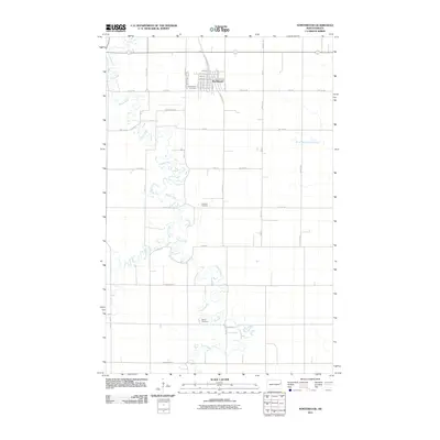 2011 Northwood2011 Print · USGSThe town of Northwood and the winding Goose River are captured here in the early twenty-first century. Genealogists and local researchers can locate several rural landmarks including Lutheran Cemetery, Bethel Cemetery, and the local Northwood Cemetery.
 - 2014 Map of Northwood SE, 2014 Print
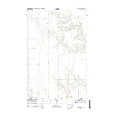 2014 Northwood SE2014 Print · USGSEnger Township's rural landscape is defined by the sharp meanders of the Goose River during the early twenty-first century. Genealogists and local researchers can locate specific sites like Stavens Memorial Cem and the Fugleberg Farm Airport.
 - 2014 Map of Northwood NW, 2014 Print
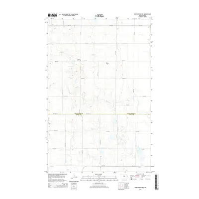 2014 Northwood NW2014 Print · USGSSteel and Grand Forks counties are captured here in the mid-2010s, showing a meticulously gridded prairie landscape shaped by family farming and small rural congregations. Genealogists and local historians can locate specific burial sites at Bethania Cem, Hertlickson Cem, and Hanson Cem or trace the course of Spring Cr.
 - 2014 Map of Northwood, 2014 Print
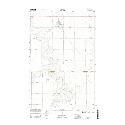 2014 Northwood2014 Print · USGSThe Grand Forks and Steele County line comes alive in this modern survey of the North Dakota prairie. Researchers can trace the winding Goose River valley and locate historic burial grounds like Lutheran Cem and Bethel Cem scattered among the farmstead grids.
 - 2014 Map of Golden Lake, 2014 Print
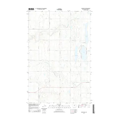 2014 Golden Lake2014 Print · USGSSteele County's glacial landscape is meticulously detailed here in the early twenty-first century, showing the intersection of agriculture and lakeside living. Trace the winding Middle Br Goose River or explore the residential corridors around Golden Lake and Lakeview Ter.
 - 2018 Map of Northwood SE, 2018 Print
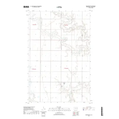 2018 Northwood SE2018 Print · USGSEnger Township in the late 2010s is characterized by its winding river branches and traditional farmsteads. Genealogists and local historians can trace family locations near the Goose River using landmarks like Severson Cem and Fugleberg Farm Airport.
 - 2018 Map of Northwood, 2018 Print
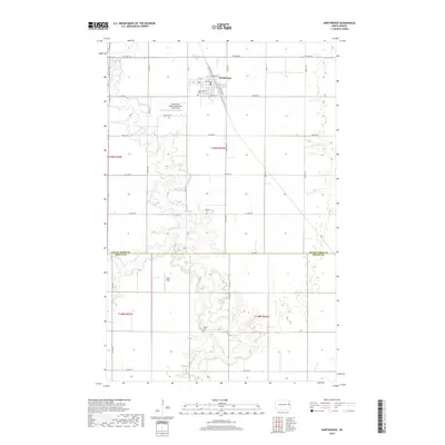 2018 Northwood2018 Print · USGSThe northern Red River Valley prairie comes into focus in this late-decade survey of the Northwood area. Genealogists and local historians can trace family roots through several rural burial sites, including Lutheran Cem and Bethel Cem, along the winding Goose River.
 - 2018 Map of Northwood NW, 2018 Print
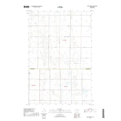 2018 Northwood NW2018 Print · USGSThe rural border of Grand Forks and Steele counties comes into focus in this late 2010s survey of the North Dakota prairie. Genealogists can locate several local burial sites such as Herlickson Cem and Bethania Cem near the shores of Lake Tobiason.
 - 2018 Map of Golden Lake, 2018 Print
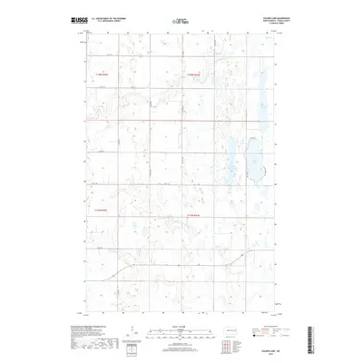 2018 Golden Lake2018 Print · USGSThe eastern North Dakota plains are captured here in the early twenty-first century, showing a landscape defined by expansive agriculture and vital water resources. Researchers can trace rural road networks and lakeside developments near Golden Lake, Golden Rush Lake, and the winding Middle Br Goose River.
 - 2020 Map of Northwood, 2020 Print
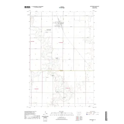 2020 Northwood2020 Print · USGSThe agricultural plains of eastern North Dakota are mapped here as they appeared in 2020, centered on the community of Northwood. Researchers can trace the region's heritage through numerous rural sites like Sondreal Graveyard, Bethel Lutheran Cem, and the Goose River corridor.
 - 2020 Map of Golden Lake, 2020 Print
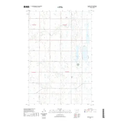 2020 Golden Lake2020 Print · USGSSteele County's prairie lakeland is captured here in the contemporary era, showing a landscape defined by seasonal wetlands and rural section lines. Researchers can locate family heritage sites at Beaver Creek Cem and Bethany Lutheran Cem near the banks of Golden Lake.
 - 2020 Map of Northwood SE, 2020 Print
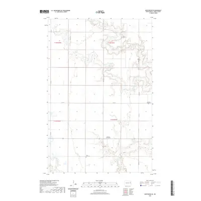 2020 Northwood SE2020 Print · USGSSteele County's prairie landscape is revealed in this modern survey of the agricultural country south of Northwood. Researchers can trace rural lineages at several small burial grounds including Bang Church Cem and Little Forks Lutheran Cem.
 - 2020 Map of Northwood NW, 2020 Print
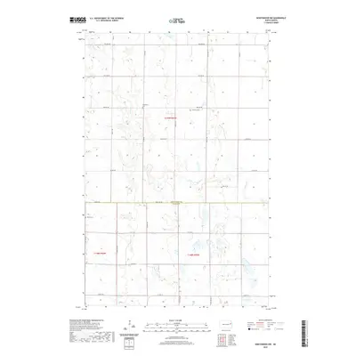 2020 Northwood NW2020 Print · USGSThe borderlands of Steele and Grand Forks counties are captured here in the early twenty-first century, showing a landscape of precise section lines and prairie drainages. Genealogists can locate family burial sites at Herlickson Cem, Bethania Cem, and Hanson Cem along the quiet reaches of Spring Cr.
 - 2024 Map of Northwood SE, 2024 Print
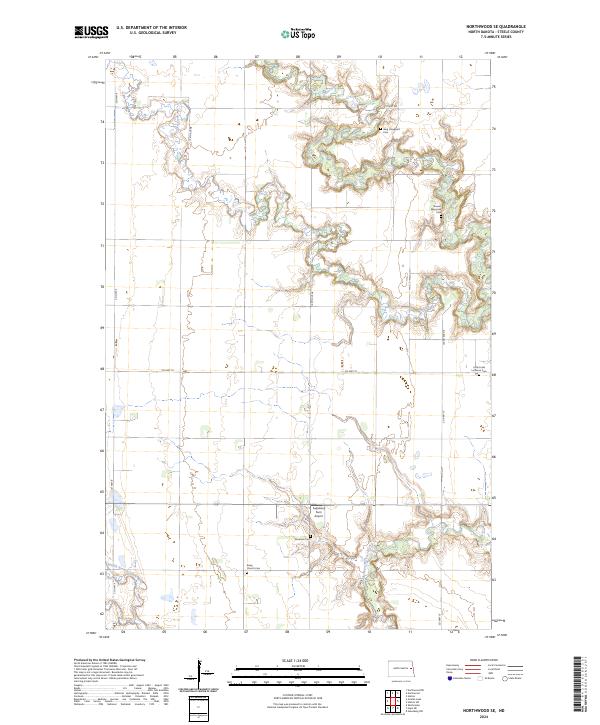 2024 Northwood SE2024 Print · USGSSteele County's prairie landscape is defined by the winding Goose River and the legacies of early settlers in the 2020s. Genealogists can trace family footprints through numerous local sites like Berg Graveyard Cem, Severson Cem, and Bang Church Cem.
Showing maps 1-25 of 28
Top cities near Beaver Creek Township
- Northwood historical maps
- Hatton historical maps
- Finley historical maps
- Sharon historical maps
- Sherbrooke Township historical maps
- Logan Center historical maps
Frequently asked questions
- What are the different types of historical maps available for Beaver Creek Township?
- What is the oldest map of Beaver Creek Township?
- Where can I purchase historical maps of Beaver Creek Township for my home or office?
- Where can I download high-res historical maps of Beaver Creek Township?
- Are there historical topographic maps available for Beaver Creek Township?
- Is there historical aerial imagery available for Beaver Creek Township?
- Where are historical maps of Beaver Creek Township sourced from?