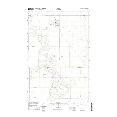
2014 Map of Northwood
USGS Topo · Published 2014About this map
Northwood serves as the primary hub in this corner of the Red River Valley, situated at the intersection of local grid roads and the Great Northern Rd. The landscape is defined by the winding course of the Goose River, which snakes across the territory and is joined by tributaries such as Spring Cr and the N Br Goose River. This drainage pattern contrasts with the rigid agricultural sections that dominate the surrounding plains.
Find a feature on this map
26 named features on this map. Tap any name to fly to it.
Don’t see what you’re looking for? This feature index may not catch every label — zoom into the map to look around manually.
Map Details
Editions of this 2014 Northwood Map
This is the sole edition of this map. No revisions or reprints were ever made.
Other maps of this area

1934 · Emerado
USGS Topo · 1:48,000

1936 · Emerado
USGS Topo · 1:62,500

1936 · Larimore
USGS Topo · 1:62,500

1952 · Grand Forks
USGS Topo · 1:250,000

1956 · Grand Forks
USGS Topo · 1:250,000

1963 · Kempton
USGS Topo · 1:24,000

1963 · Larimore SW
USGS Topo · 1:24,000

1963 · Emerado SW
USGS Topo · 1:24,000

1966 · Grand Forks
USGS Topo · 1:250,000
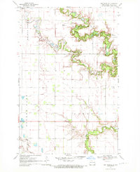
1970 · Northwood SE
USGS Topo · 1:24,000