Old Maps of Nash, North Dakota for Academic Research
Study the evolution of Nash with 11 high-resolution historic maps. Whether you're teaching, researching, or modeling changes in land use, these maps provide essential visual documentation of urban, environmental, and geographic change.
- Analyze long-term change: Track patterns in development, transportation, and natural features.
- Ideal for environmental or urban studies: Support academic projects with primary historical map data.
- Use in the classroom or lab: Educators and researchers rely on these maps to bring historical context to life.
These maps are a powerful tool for teaching, research, and visualizing how Nash has changed over the decades.
Nash, ND maps
(11)- 1952 Map of Thief River Falls, 1967 Print
 1952 Thief River Falls1967 Print · USGSThe Red River Valley's agricultural and conservation landscape is captured in the mid-1950s, detailing a web of rail lines and international border crossings. Researchers can trace family roots in towns like Thief River Falls, locate the State School for Blind, and survey landmarks like the Agassiz National Wildlife Refuge.2 unique versions available
 - 1956 Map of Thief River Falls
 1956 Thief River Falls1956 Print · USGSThe Red River Valley in the mid-1950s is captured here as a sprawling network of rail corridors and wildlife refuges along the Canadian border. Trace the vanished transport routes of the Dismantled railroad and Abandoned railroad or locate local landmarks like the Herrick Elevator and State School for Blind.
 - 1957 Map of Thief River Falls
 1957 Thief River Falls1957 Print · USGSThe Red River Valley in the mid-fifties is captured here as a thriving network of rail towns and conservation lands. Genealogists and historians can trace family roots through settlements like Grafton, Pembina, and Hallock, or locate landmarks such as the State School for Blind and the Great Northern RR corridor.
 - 1963 Map of Nash, 1964 Print
 1963 Nash1964 Print · USGSWalsh County's rural townships and river branches are captured here in the early sixties, as the agrarian landscape centered on the Great Northern railroad. Trace family roots at Concordia Cem or explore small hubs like Nash and Manda.
 - 1967 Map of Thief River Falls
 1967 Thief River Falls1967 Print · USGSThe Red River Valley and the international border come alive in the 1960s, showing a landscape shaped by major rail lines and river commerce. Genealogists and historians can trace the paths of the Great Northern and Soo Line through towns like Thief River Falls, Grafton, and Hallock.
 - 1985 Map of Grafton
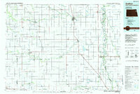 1985 Grafton1985 Print · USGSThe Red River Valley at the mid-eighties shows a landscape of deep-rooted agriculture and rail-side towns. Genealogists and historians can trace family land near Grafton, Minto, or Lankin, and locate conservation landmarks like the Ardoch National Wildlife Refuge.2 unique versions available
 - 2011 Map of Nash, 2011 Print
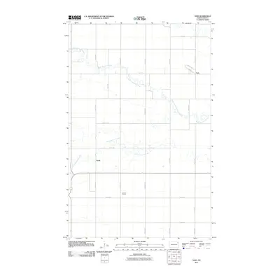 2011 Nash2011 Print · USGSWalsh County's agricultural heartland is captured here in the early twenty-first century, showing the rural communities of Nash and Mandt. Researchers can locate Concordia Cemetery and trace the meandering Middle Branch Park River through the township grid.
 - 2014 Map of Nash, 2014 Print
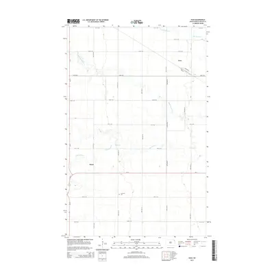 2014 Nash2014 Print · USGSWalsh County's expansive farmland and river branches are captured here in the early twenty-first century. Genealogists and local historians can trace the rural layouts of Nash and Mandt, or locate the Concordia Cem along the S Br Park River.
 - 2017 Map of Nash, 2017 Print
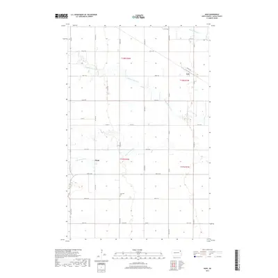 2017 Nash2017 Print · USGSWalsh County's rural landscape is captured here in the late twenty-tens, showing the agricultural heartland between the branches of the Park River. Researchers can trace the layout of Nash and Mandt or locate the Concordia Cem among the section-line roads.
 - 2020 Map of Nash, 2020 Print
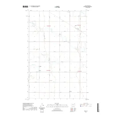 2020 Nash2020 Print · USGSThe northern Red River Valley prairie is captured here in modern detail, highlighting its deep-rooted Lutheran and Mennonite heritage. You can trace the locations of family burial sites at South Trinity Lutheran Cem and Concordia Cem near the small communities of Nash and Mandt.
 - 2024 Map of Nash, 2024 Print
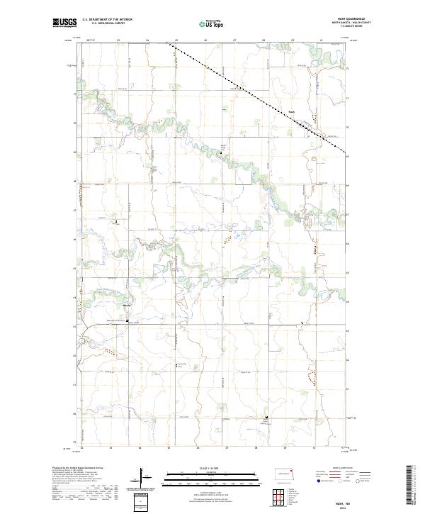 2024 Nash2024 Print · USGSThe rural prairie of Walsh County is captured here in the early twenty-first century, showing a landscape defined by the winding branches of the Park River. Genealogists and historians can trace local family heritage through numerous landmarks like Zion Cem, the Mennonite Church Cem, and the small settlement of Nash.
End of results
Showing maps 1-11 of 11
Top cities near Nash
- Grafton historical maps
- Park River historical maps
- Minto historical maps
- Hoople historical maps
- Oakwood historical maps
- Crystal historical maps
See more
Frequently asked questions
- What are the different types of historical maps available for Nash?
- What is the oldest map of Nash?
- Where can I purchase historical maps of Nash for my home or office?
- Where can I download high-res historical maps of Nash?
- Are there historical topographic maps available for Nash?
- Is there historical aerial imagery available for Nash?
- Where are historical maps of Nash sourced from?