Old Maps of Drady, North Dakota for Academic Research
Study the evolution of Drady with 11 high-resolution historic maps. Whether you're teaching, researching, or modeling changes in land use, these maps provide essential visual documentation of urban, environmental, and geographic change.
- Analyze long-term change: Track patterns in development, transportation, and natural features.
- Ideal for environmental or urban studies: Support academic projects with primary historical map data.
- Use in the classroom or lab: Educators and researchers rely on these maps to bring historical context to life.
These maps are a powerful tool for teaching, research, and visualizing how Drady has changed over the decades.
Drady, ND maps
(11)- 1928 Map of Minot
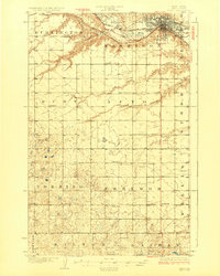 1928 Minot1928 Print · USGSThe growing rail hub of Minot emerges along the Souris River valley in the mid-1920s. Genealogists and historians can trace numerous rural schools across townships like Burt and Nedrose, alongside early rail sidings at Drady and Stringtown.3 unique versions available
 - 1948 Map of Minot NW, 1976 Print
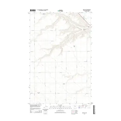
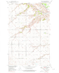 1948 Minot NW1976 Print · USGSNorth Dakota's prairie landscape near Minot is documented here in the late 1940s, showing a transition from traditional rail-based transport to modern rural development. Researchers can trace historic rail lines like the Great Northern and find rural sites like Ralston and School No 2.2 unique versions available
 - 1949 Map of Minot NW
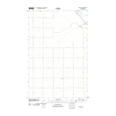
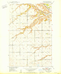 1949 Minot NW1949 Print · USGSThe high plains of Ward County in the late 1940s are defined here by deep coulees and critical rail junctions along the Souris River. Local historians can trace early prairie education at School No 1 and School No 2 or follow the old tracks through Ralston and Drady.
 - 1954 Map of Minot, 1964 Print
 1954 Minot1964 Print · USGSNorth Dakota's northern borderlands are captured here in the mid-fifties, showing a landscape defined by the winding Souris River and the rise of the Turtle Mountains. Genealogists can locate family-named sidings like Hurd Siding and Truro Siding alongside the vital Great Northern rail lines.3 unique versions available
 - 1958 Map of Minot
 1958 Minot1958 Print · USGSNorthern North Dakota is shown here during the mid-fifties, dominated by the rail-driven growth of Minot and the surrounding grain-farming prairie. Genealogists can trace family connections to border towns like Westhope or explore the vast reaches of the Turtle Mountains.
 - 1980 Map of Minot
 1980 Minot1980 Print · USGSNorth Dakota's northern plains are shown at the start of the 1980s, centered on the strategic rail and river hub of Minot. Genealogists and local historians can trace the transition from rural grain stops like Berthold to the significant military presence at Minot Air Force Base.
 - 2011 Map of Minot NW, 2011 Print
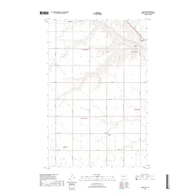
 2011 Minot NW2011 Print · USGSCovers Drady, including Ward County, United States, and other nearby areas
 - 2014 Map of Minot NW, 2014 Print
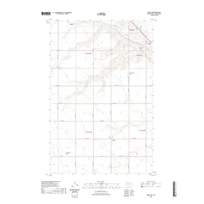
 2014 Minot NW2014 Print · USGSCovers Drady, including Ward County, United States, and other nearby areas
 - 2017 Map of Minot NW, 2017 Print
 2017 Minot NW2017 Print · USGSCovers Drady, including Ward County, United States, and other nearby areas
 - 2020 Map of Minot NW, 2020 Print
 2020 Minot NW2020 Print · USGSCovers Drady, including Ward County, United States, and other nearby areas
 - 2024 Map of Minot NW, 2024 Print
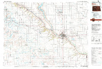
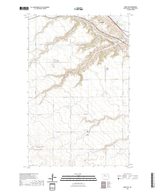 2024 Minot NW2024 Print · USGSWard County's prairie landscape is documented here in the early 2020s, showing the rural area between the Des Lacs and Souris Rivers. Genealogists and local historians can locate the Drady Cem near Drady, as well as the Flying S Ranch Airport and the village of Burlington.
End of results
Showing maps 1-11 of 11
Top cities near Drady
Frequently asked questions
- What are the different types of historical maps available for Drady?
- What is the oldest map of Drady?
- Where can I purchase historical maps of Drady for my home or office?
- Where can I download high-res historical maps of Drady?
- Are there historical topographic maps available for Drady?
- Is there historical aerial imagery available for Drady?
- Where are historical maps of Drady sourced from?