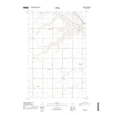
2017 Map of Minot NW
USGS Topo · Published 2017About this map
Drady and Ralston anchor this Ward County landscape where the northern plains are deeply etched by the winding course of the Souris River. The topography is defined by significant coulees that drain toward the river valley, creating a distinct broken terrain amidst the surrounding agricultural grid. These drainage features, including Gassman Coulee, South Branch Coulee, and First Larson Coulee, provide a clear view of the natural hydrology that shaped local settlement and land use. This 2017 U.S. Geological Survey data shows a vast section-line road network, including Co Rd 16 and Co Hwy 14, which organizes the high ground between the river and its tributaries. The map effectively captures the intersection of man-made boundaries and natural landmarks in the northwestern North Dakota prairie.
Find a feature on this map
24 named features on this map. Tap any name to fly to it.
Don’t see what you’re looking for? This feature index may not catch every label — zoom into the map to look around manually.
Map Details
Editions of this 2017 Minot NW Map
This is the sole edition of this map. No revisions or reprints were ever made.
Other maps of this area

1928 · Minot
USGS Topo · 1:62,500

1948 · Burlington
USGS Topo · 1:24,000

1948 · Burlington
USGS Topo · 1:62,500

1948 · Minot NW
USGS Topo · 1:24,000

1949 · Minot NW
USGS Topo · 1:24,000

1949 · Burlington SE
USGS Topo · 1:24,000

1949 · Minot
USGS Topo · 1:24,000

1950 · Des Lacs
USGS Topo · 1:24,000
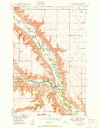
1950 · Burlington
USGS Topo · 1:24,000
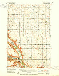
1951 · Burlington
USGS Topo · 1:62,500