2020s Maps of Fessenden, North Dakota
Explore 4 historic maps of Fessenden from the 2020s. These maps offer a rare glimpse into what life looked like during the 2020s — showing old roads, neighborhoods, homes, and landmarks that have changed or disappeared over time.
Whether you're researching your family's past, planning a metal detecting trip, or studying how Fessenden's landscape evolved across the 2020s, these high-resolution maps are a powerful tool for exploring the history of this region.
- Focus on a specific era: All maps on this page are from the 2020s, giving you a focused view of this time period.
- See what’s changed: Compare century-old streets, trails, and buildings to today's modern landscape using overlays and satellite layers.
- Research with precision: Use these maps for genealogy, historical research, land use analysis, or educational projects.
- View, download, or print: Maps are fully viewable online in high resolution, and can be downloaded or printed for your own records.
Start exploring Fessenden's history through authentic maps from the 2020s. This is your window into the past.
Fessenden, ND maps
(4)- 2020 Map of Fessenden East, 2020 Print
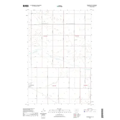 2020 Fessenden East2020 Print · USGSCovers Fessenden, including Wells County, United States, and other nearby areas
 - 2020 Map of Fessenden West, 2020 Print
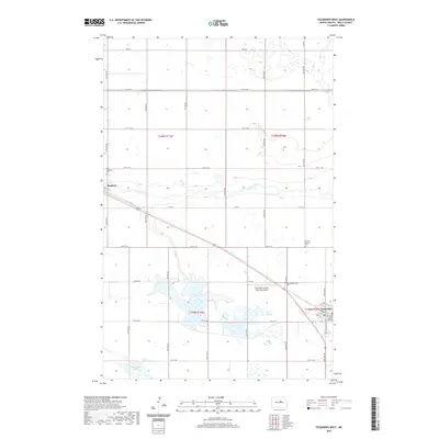 2020 Fessenden West2020 Print · USGSCovers Fessenden, including Manfred, Wells County, and other nearby areas
 - 2024 Map of Fessenden East, 2024 Print
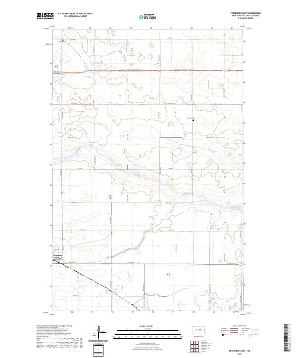 2024 Fessenden East2024 Print · USGSWells County prairie life is centered around Fessenden and the winding James River in this modern survey. Genealogists and local historians can trace the positions of East Vang Cem and Concordia Cem amidst a landscape shaped by the North Dakota section grid.
 - 2024 Map of Fessenden West, 2024 Print
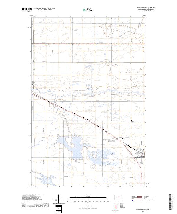 2024 Fessenden West2024 Print · USGSCentral North Dakota prairie life is documented here in the early twenty-first century, centered on the communities of Fessenden and Manfred. Genealogists can trace local burials at Vang Lutheran Cem and Hillside Cem or follow the North Country National Scenic Trl.
End of results
Showing maps 1-4 of 4
Top cities near Fessenden
- Sykeston historical maps
- Bowdon historical maps
- Heimdal historical maps
- Manfred historical maps
- Cathay historical maps
- Chaseley historical maps
See more
Frequently asked questions
- What are the different types of historical maps available for Fessenden?
- What is the oldest map of Fessenden?
- Where can I purchase historical maps of Fessenden for my home or office?
- Where can I download high-res historical maps of Fessenden?
- Are there historical topographic maps available for Fessenden?
- Is there historical aerial imagery available for Fessenden?
- Where are historical maps of Fessenden sourced from?