Old Maps of Fessenden, North Dakota for Academic Research
Study the evolution of Fessenden with 17 high-resolution historic maps. Whether you're teaching, researching, or modeling changes in land use, these maps provide essential visual documentation of urban, environmental, and geographic change.
- Analyze long-term change: Track patterns in development, transportation, and natural features.
- Ideal for environmental or urban studies: Support academic projects with primary historical map data.
- Use in the classroom or lab: Educators and researchers rely on these maps to bring historical context to life.
These maps are a powerful tool for teaching, research, and visualizing how Fessenden has changed over the decades.
Fessenden, ND maps
(17)- 1948 Map of Fessenden
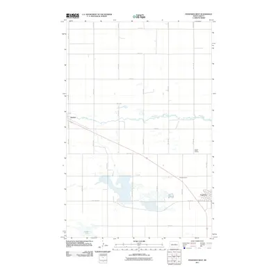
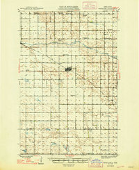 1948 Fessenden1948 Print · USGSWells County was a landscape of township schools and prairie settlements during the 1940s. Genealogists can trace family landmarks like Brynjulson Cem and Concordia Ch, or locate vanished schoolhouses such as Oshkosh Sch.2 unique versions available
 - 1949 Map of Fessenden East
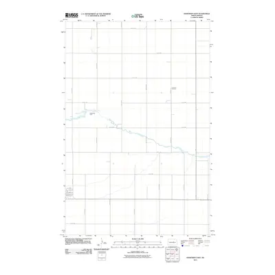
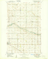 1949 Fessenden East1949 Print · USGSWells County, North Dakota, is documented here in the late 1940s as a region of dispersed prairie farmsteads and rural townships. Genealogists can locate family landmarks like Bloomington School No 3, Concordia Cem, and the tracks of the Minneapolis St Paul and Sault Ste Marie.2 unique versions available
 - 1949 Map of Fessenden West
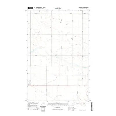
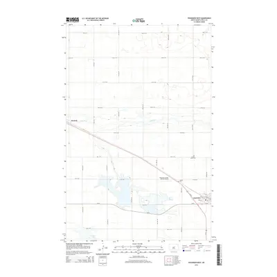
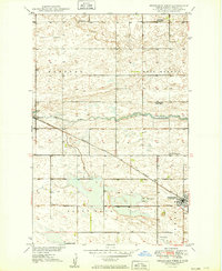 1949 Fessenden West1949 Print · USGSWells County at mid-century reveals a rural landscape defined by the iron rails and prairie townships of central North Dakota. Researchers can locate family landmarks like the German Baptist Cem, Mohr Landing field, and early local schools like Bloomington School No 4.2 unique versions available
 - 1952 Map of New Rockford, 1968 Print
 1952 New Rockford1968 Print · USGSThe North Dakota prairie during the mid-1950s was a landscape of rail-dependent farm towns and vast wildlife refuges. Genealogists and historians can trace the foundations of local communities at Fort Totten Indian Agenc, Concordia Lutheran Church, and the Bowdon Country Church and Cemetery.3 unique versions available
 - 1956 Map of New Rockford
 1956 New Rockford1956 Print · USGSMid-century central North Dakota is captured here as a landscape of prairie rail towns and vast wildlife refuges. Trace family roots at the Bowdon Country Church and Cemetery or locate the old St Michael Mission School and Fort Totten.
 - 1971 Map of New Rockford, 1974 Print
 1971 New Rockford1974 Print · USGSCentral North Dakota was a landscape of wildlife refuges and rail-linked agricultural towns in the early seventies. Genealogists and local historians can trace the development of the Fort Totten Indian Reservation and locate old railway points like Maddock, Hamal, and Kloten.
 - 1981 Map of New Rockford
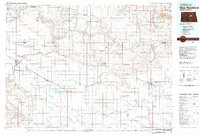 1981 New Rockford1981 Print · USGSCentral North Dakota's prairie heartland is captured here in the early eighties, showing a landscape defined by the Burlington Northern rail lines and sprawling waterfowl refuges. Genealogists and local historians can trace the foundations of New Rockford, Maddock, and Fessenden, alongside landmarks like Tomlinson Field and the Fort Totten Indian Reservation.
 - 2011 Map of Fessenden West, 2011 Print
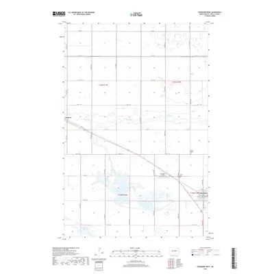
 2011 Fessenden West2011 Print · USGSCovers Fessenden, including Manfred, Wells County, and other nearby areas
 - 2011 Map of Fessenden East, 2011 Print
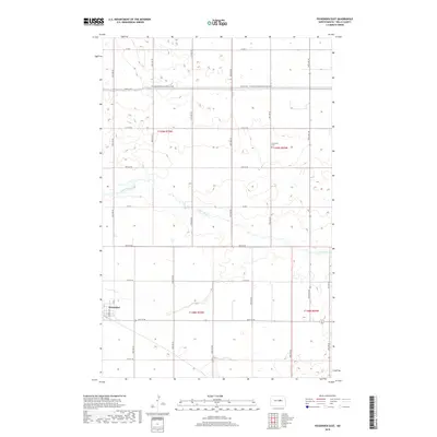
 2011 Fessenden East2011 Print · USGSCovers Fessenden, including Wells County, United States, and other nearby areas
 - 2014 Map of Fessenden East, 2014 Print
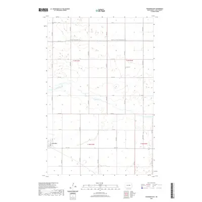
 2014 Fessenden East2014 Print · USGSCovers Fessenden, including Wells County, United States, and other nearby areas
 - 2014 Map of Fessenden West, 2014 Print
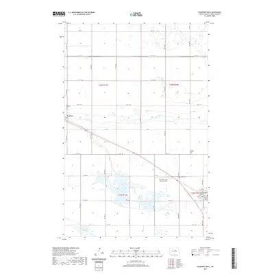
 2014 Fessenden West2014 Print · USGSCovers Fessenden, including Manfred, Wells County, and other nearby areas
 - 2018 Map of Fessenden West, 2018 Print
 2018 Fessenden West2018 Print · USGSCovers Fessenden, including Manfred, Wells County, and other nearby areas
 - 2018 Map of Fessenden East, 2018 Print
 2018 Fessenden East2018 Print · USGSCovers Fessenden, including Wells County, United States, and other nearby areas
 - 2020 Map of Fessenden East, 2020 Print
 2020 Fessenden East2020 Print · USGSCovers Fessenden, including Wells County, United States, and other nearby areas
 - 2020 Map of Fessenden West, 2020 Print
 2020 Fessenden West2020 Print · USGSCovers Fessenden, including Manfred, Wells County, and other nearby areas
 - 2024 Map of Fessenden East, 2024 Print
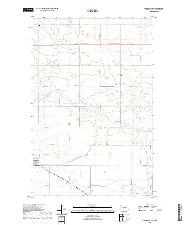 2024 Fessenden East2024 Print · USGSWells County prairie life is centered around Fessenden and the winding James River in this modern survey. Genealogists and local historians can trace the positions of East Vang Cem and Concordia Cem amidst a landscape shaped by the North Dakota section grid.
 - 2024 Map of Fessenden West, 2024 Print
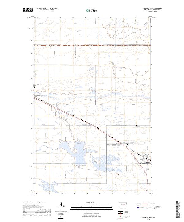 2024 Fessenden West2024 Print · USGSCentral North Dakota prairie life is documented here in the early twenty-first century, centered on the communities of Fessenden and Manfred. Genealogists can trace local burials at Vang Lutheran Cem and Hillside Cem or follow the North Country National Scenic Trl.
End of results
Showing maps 1-17 of 17
Top cities near Fessenden
- Sykeston historical maps
- Bowdon historical maps
- Heimdal historical maps
- Manfred historical maps
- Cathay historical maps
- Chaseley historical maps
See more
Frequently asked questions
- What are the different types of historical maps available for Fessenden?
- What is the oldest map of Fessenden?
- Where can I purchase historical maps of Fessenden for my home or office?
- Where can I download high-res historical maps of Fessenden?
- Are there historical topographic maps available for Fessenden?
- Is there historical aerial imagery available for Fessenden?
- Where are historical maps of Fessenden sourced from?