2000s (21st Century) Maps of Minster, Ohio
Explore 10 historic maps of Minster from the 2000s (21st Century). These maps offer a rare glimpse into what life looked like during the 2000s — showing old roads, neighborhoods, homes, and landmarks that have changed or disappeared over time.
Whether you're researching your family's past, planning a metal detecting trip, or studying how Minster's landscape evolved across the 2000s, these high-resolution maps are a powerful tool for exploring the history of this region.
- Focus on a specific era: All maps on this page are from the 2000s, giving you a focused view of this time period.
- See what’s changed: Compare century-old streets, trails, and buildings to today's modern landscape using overlays and satellite layers.
- Research with precision: Use these maps for genealogy, historical research, land use analysis, or educational projects.
- View, download, or print: Maps are fully viewable online in high resolution, and can be downloaded or printed for your own records.
Start exploring Minster's history through authentic maps from the 2000s. This is your window into the past.
Minster, OH maps
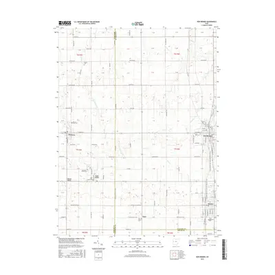
(10)- 2010 Map of New Bremen, 2010 Print
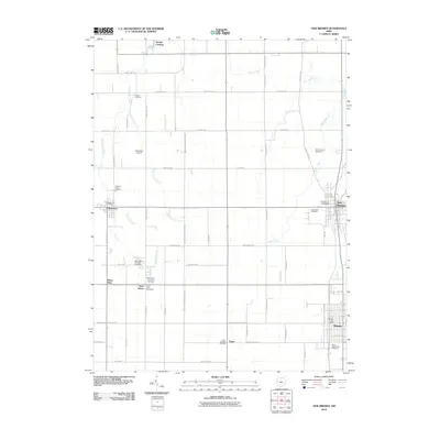 2010 New Bremen2010 Print · USGSCovers Minster, including New Bremen, Chickasaw, and other nearby areas
 - 2010 Map of New Knoxville, 2010 Print
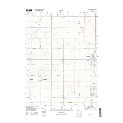
 2010 New Knoxville2010 Print · USGSCovers Minster, including New Bremen, New Knoxville, and other nearby areas
 - 2013 Map of New Bremen, 2013 Print
 2013 New Bremen2013 Print · USGSCovers Minster, including New Bremen, Chickasaw, and other nearby areas
 - 2013 Map of New Knoxville, 2013 Print
 2013 New Knoxville2013 Print · USGSCovers Minster, including New Bremen, New Knoxville, and other nearby areas
 - 2016 Map of New Bremen, 2016 Print
 2016 New Bremen2016 Print · USGSCovers Minster, including New Bremen, Chickasaw, and other nearby areas
 - 2016 Map of New Knoxville, 2016 Print
 2016 New Knoxville2016 Print · USGSCovers Minster, including New Bremen, New Knoxville, and other nearby areas
 - 2019 Map of New Knoxville, 2019 Print
 2019 New Knoxville2019 Print · USGSCovers Minster, including New Bremen, New Knoxville, and other nearby areas
 - 2019 Map of New Bremen, 2019 Print
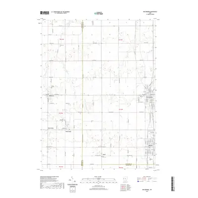 2019 New Bremen2019 Print · USGSCovers Minster, including New Bremen, Chickasaw, and other nearby areas
 - 2023 Map of New Bremen, 2023 Print
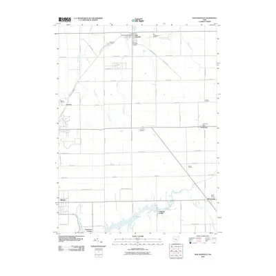
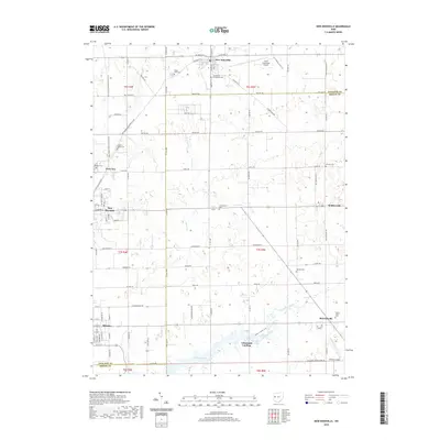
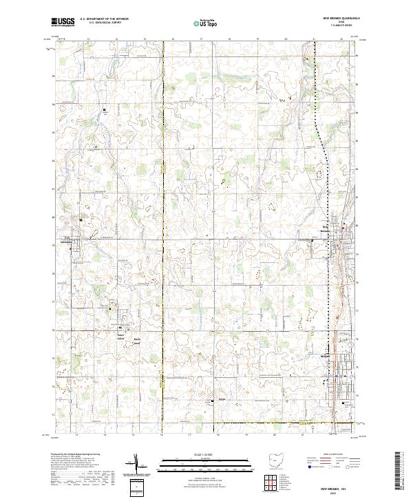 2023 New Bremen2023 Print · USGSWestern Ohio’s rural townships come into focus in this recent survey of the lands surrounding the Mercer and Auglaize county line. Genealogists can locate family burial sites at Saint Augustines Cem and trace the small communities of Maria Stein and Egypt.
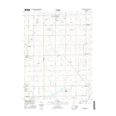
 - 2023 Map of New Knoxville, 2023 Print
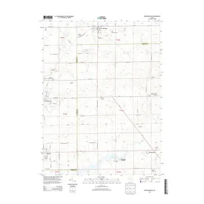
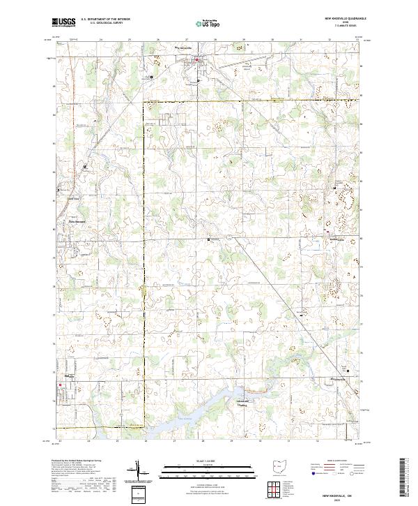 2023 New Knoxville2023 Print · USGSWestern Ohio settlement patterns and water-management history are preserved here in the early twenty-first century. Researchers can trace family roots at German Cem and Sacred Heart Cem, or explore the canal-era roots of New Bremen and Lock Two.
End of results
Showing maps 1-10 of 10
Top cities near Minster
- Piqua historical maps
- Sidney historical maps
- Celina historical maps
- Wapakoneta historical maps
- Saint Marys historical maps
- New Bremen historical maps
See more
Frequently asked questions
- What are the different types of historical maps available for Minster?
- What is the oldest map of Minster?
- Where can I purchase historical maps of Minster for my home or office?
- Where can I download high-res historical maps of Minster?
- Are there historical topographic maps available for Minster?
- Is there historical aerial imagery available for Minster?
- Where are historical maps of Minster sourced from?