Old Maps of Minster, Ohio for Genealogy
Trace your family roots with 18 historic maps of Minster. These high-res maps reveal old neighborhoods, homesites, landmarks, and streets — helping you uncover where your ancestors lived and how the area evolved over time.
- Explore historic neighborhoods: Identify where your relatives may have lived in the 1800s or 1900s.
- Compare maps over time: Trace the changes in streets, buildings, and landmarks for multi-generational research.
- Perfect for genealogy & ancestry research: Used by family historians and researchers to map out lineage and migration.
These maps are an incredible resource for exploring your personal connection to Minster's past.
Minster, OH maps
(18)- 1909 Map of Loramie, 1961 Print
 1909 Loramie1961 Print · USGSWestern Ohio at the opening of the twentieth century was a landscape defined by the transition from canal transport to electric rail. Genealogists can trace family names across dozens of rural school districts like Walkup School and Diters School, or locate old parish centers such as Maria Stein and St John.
 - 1911 Map of Loramie, 1936 Print
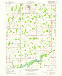
 1911 Loramie1936 Print · USGSWestern Ohio at the start of the twentieth century shows a landscape transitioning from the canal era to the age of electric rail. Researchers can trace the Miami and Erie Canal through Minster and New Bremen, or locate family sites near St Patricks Church and Schwaberow School.
 - 1944 Map of Loramie
 1944 Loramie1944 Print · USGSWest-central Ohio farmland is captured here during the mid-forties, showing the intricate grid of rural school districts and turnpikes. Researchers can trace family-named sites like Fledderjohn Sch and St Patricks Ch near the Loramie Reservoir.
 - 1953 Map of Muncie, 1966 Print
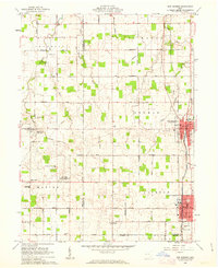
 1953 Muncie1966 Print · USGSIndiana and Ohio borderlands thrive in the early fifties, showing a landscape defined by manufacturing cities and an intensive railroad network. Genealogists can trace family roots across the Indiana-Ohio line through Muncie, Celina, and Portland via the Pennsylvania railroad.5 unique versions available
 - 1956 Map of Muncie
 1956 Muncie1956 Print · USGSEastern Indiana and western Ohio are shown at a peak of rail-driven industry in the mid-fifties. Genealogists and rail historians can trace the paths of the Pennsylvania RR through Muncie or locate landmarks like Lake Saint Marys (Grand Lake Reservoir) and Frances Slocum State Forest.
 - 1961 Map of New Knoxville, 1962 Print
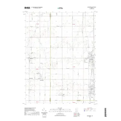
 1961 New Knoxville1962 Print · USGSWestern Ohio farmland and the waters of Lake Loramie are frozen in time during the early sixties. Genealogists can locate family-named cemeteries like Pilger Ruhe Cem while historians trace legacy infrastructure at Lock Two and Lehmkuhl Landing.3 unique versions available
 - 1961 Map of New Bremen, 1963 Print
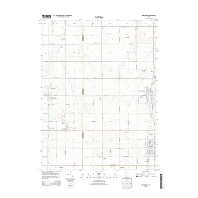
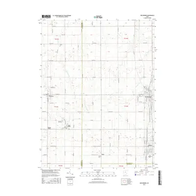
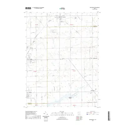
 1961 New Bremen1963 Print · USGSAgricultural West-Central Ohio comes alive in the early sixties, showing the vital canal and rail corridors through the Auglaize and Mercer county border. Trace family roots through the Maria Stein Shrine or settlements like Egypt and Chickasaw.
 - 1986 Map of Piqua
 1986 Piqua1986 Print · USGSThe western Ohio and eastern Indiana borderlands appear here in the mid-1980s, showcasing a landscape of river-valley industry and fertile plains. Researchers can trace historic rail lines like Conrail and Norfolk and Western through towns like Greenville and Winchester.3 unique versions available
 - 2010 Map of New Bremen, 2010 Print
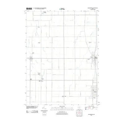 2010 New Bremen2010 Print · USGSCovers Minster, including New Bremen, Chickasaw, and other nearby areas
 - 2010 Map of New Knoxville, 2010 Print
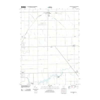 2010 New Knoxville2010 Print · USGSCovers Minster, including New Bremen, New Knoxville, and other nearby areas
 - 2013 Map of New Bremen, 2013 Print
 2013 New Bremen2013 Print · USGSCovers Minster, including New Bremen, Chickasaw, and other nearby areas
 - 2013 Map of New Knoxville, 2013 Print
 2013 New Knoxville2013 Print · USGSCovers Minster, including New Bremen, New Knoxville, and other nearby areas
 - 2016 Map of New Bremen, 2016 Print
 2016 New Bremen2016 Print · USGSCovers Minster, including New Bremen, Chickasaw, and other nearby areas
 - 2016 Map of New Knoxville, 2016 Print
 2016 New Knoxville2016 Print · USGSCovers Minster, including New Bremen, New Knoxville, and other nearby areas
 - 2019 Map of New Knoxville, 2019 Print
 2019 New Knoxville2019 Print · USGSCovers Minster, including New Bremen, New Knoxville, and other nearby areas
 - 2019 Map of New Bremen, 2019 Print
 2019 New Bremen2019 Print · USGSCovers Minster, including New Bremen, Chickasaw, and other nearby areas
 - 2023 Map of New Bremen, 2023 Print
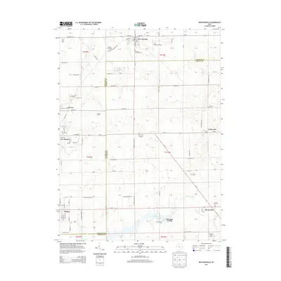
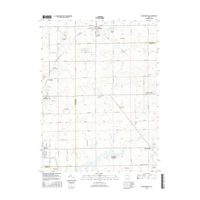
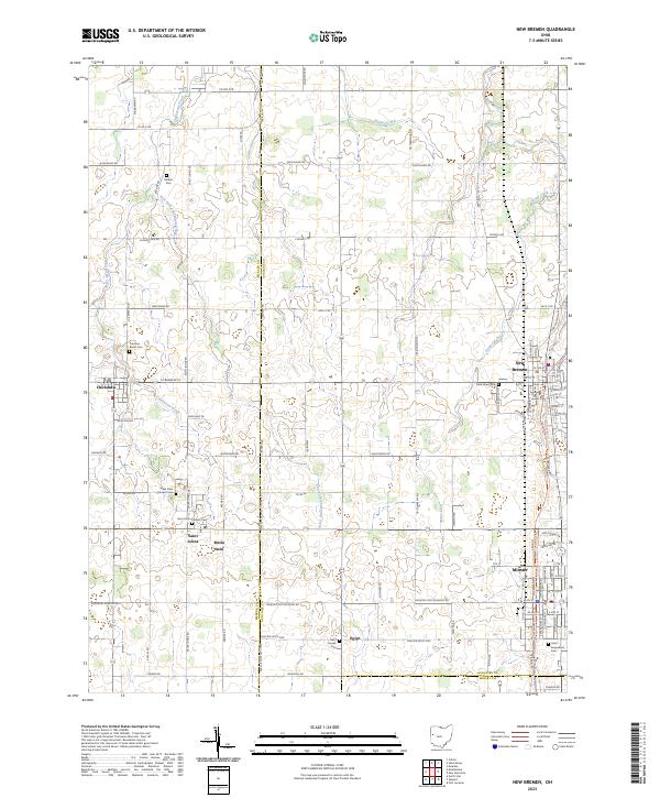 2023 New Bremen2023 Print · USGSWestern Ohio’s rural townships come into focus in this recent survey of the lands surrounding the Mercer and Auglaize county line. Genealogists can locate family burial sites at Saint Augustines Cem and trace the small communities of Maria Stein and Egypt.
 - 2023 Map of New Knoxville, 2023 Print
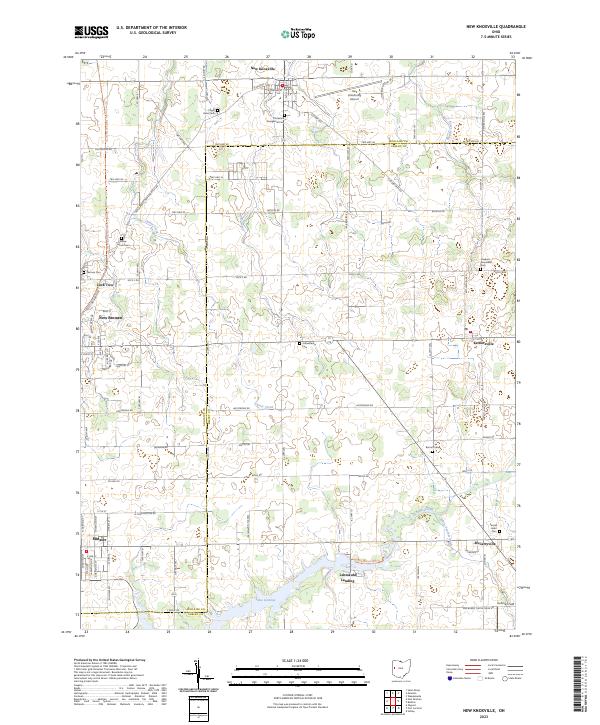 2023 New Knoxville2023 Print · USGSWestern Ohio settlement patterns and water-management history are preserved here in the early twenty-first century. Researchers can trace family roots at German Cem and Sacred Heart Cem, or explore the canal-era roots of New Bremen and Lock Two.
End of results
Showing maps 1-18 of 18
Top cities near Minster
- Piqua historical maps
- Sidney historical maps
- Celina historical maps
- Wapakoneta historical maps
- Saint Marys historical maps
- New Bremen historical maps
See more
Frequently asked questions
- What are the different types of historical maps available for Minster?
- What is the oldest map of Minster?
- Where can I purchase historical maps of Minster for my home or office?
- Where can I download high-res historical maps of Minster?
- Are there historical topographic maps available for Minster?
- Is there historical aerial imagery available for Minster?
- Where are historical maps of Minster sourced from?