2000s (21st Century) Maps of Jackson Township, Ohio
Explore 15 historic maps of Jackson Township from the 2000s (21st Century). These maps offer a rare glimpse into what life looked like during the 2000s — showing old roads, neighborhoods, homes, and landmarks that have changed or disappeared over time.
Whether you're researching your family's past, planning a metal detecting trip, or studying how Jackson Township's landscape evolved across the 2000s, these high-resolution maps are a powerful tool for exploring the history of this region.
- Focus on a specific era: All maps on this page are from the 2000s, giving you a focused view of this time period.
- See what’s changed: Compare century-old streets, trails, and buildings to today's modern landscape using overlays and satellite layers.
- Research with precision: Use these maps for genealogy, historical research, land use analysis, or educational projects.
- View, download, or print: Maps are fully viewable online in high resolution, and can be downloaded or printed for your own records.
Start exploring Jackson Township's history through authentic maps from the 2000s. This is your window into the past.
Jackson Township, OH maps
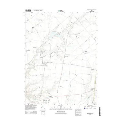
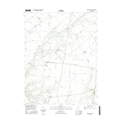
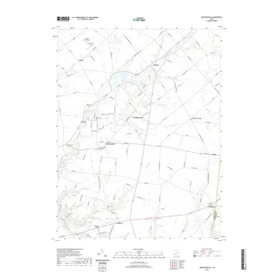
(15)- 2010 Map of Newtonsville, 2010 Print
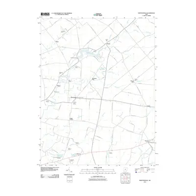 2010 Newtonsville2010 Print · USGSCovers Jackson Township, including Stonelick Township, Newtonsville, and other nearby areas
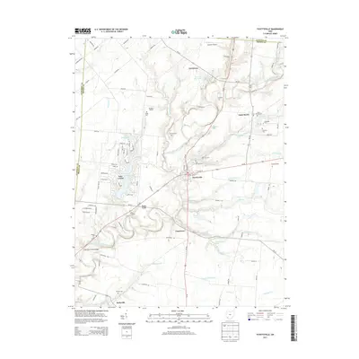
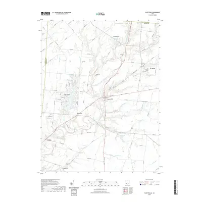
 - 2010 Map of Fayetteville, 2010 Print
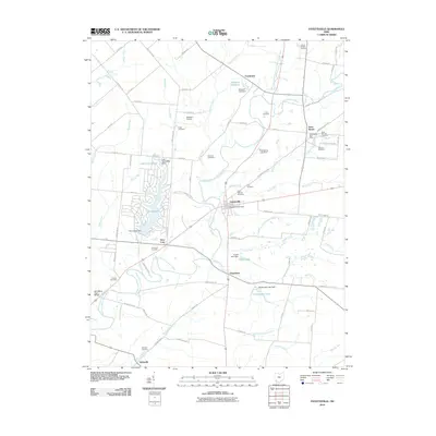 2010 Fayetteville2010 Print · USGSCovers Jackson Township, including Fayetteville, St. Martin, and other nearby areas
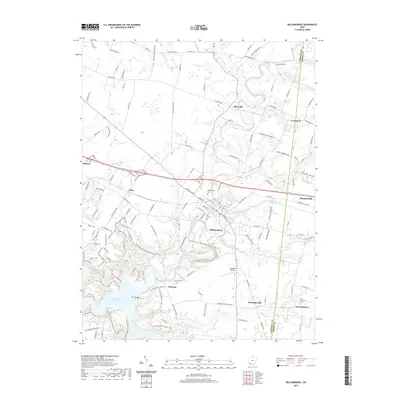
 - 2010 Map of Williamsburg, 2010 Print
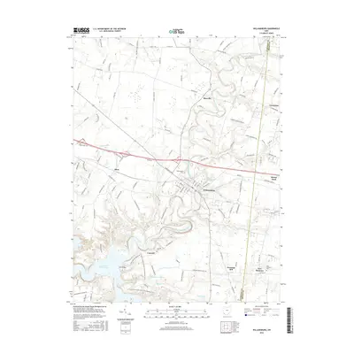
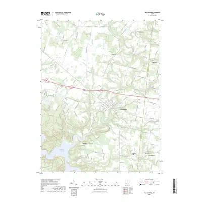
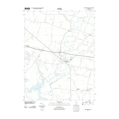 2010 Williamsburg2010 Print · USGSCovers Jackson Township, including Stonelick Township, Williamsburg, and other nearby areas
 - 2013 Map of Williamsburg, 2013 Print
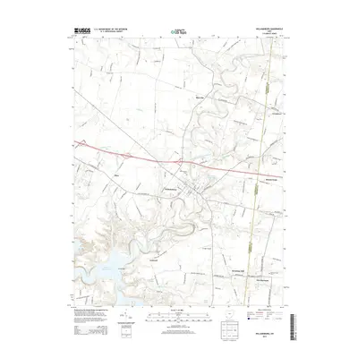 2013 Williamsburg2013 Print · USGSCovers Jackson Township, including Stonelick Township, Williamsburg, and other nearby areas
 - 2013 Map of Newtonsville, 2013 Print
 2013 Newtonsville2013 Print · USGSCovers Jackson Township, including Stonelick Township, Newtonsville, and other nearby areas
 - 2013 Map of Fayetteville, 2013 Print
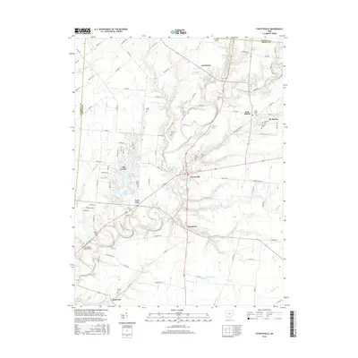
 2013 Fayetteville2013 Print · USGSCovers Jackson Township, including Fayetteville, St. Martin, and other nearby areas
 - 2016 Map of Fayetteville, 2016 Print
 2016 Fayetteville2016 Print · USGSCovers Jackson Township, including Fayetteville, St. Martin, and other nearby areas
 - 2016 Map of Williamsburg, 2016 Print
 2016 Williamsburg2016 Print · USGSCovers Jackson Township, including Stonelick Township, Williamsburg, and other nearby areas
 - 2016 Map of Newtonsville, 2016 Print
 2016 Newtonsville2016 Print · USGSCovers Jackson Township, including Stonelick Township, Newtonsville, and other nearby areas
 - 2019 Map of Newtonsville, 2019 Print
 2019 Newtonsville2019 Print · USGSCovers Jackson Township, including Stonelick Township, Newtonsville, and other nearby areas
 - 2019 Map of Fayetteville, 2019 Print
 2019 Fayetteville2019 Print · USGSCovers Jackson Township, including Fayetteville, St. Martin, and other nearby areas
 - 2019 Map of Williamsburg, 2019 Print
 2019 Williamsburg2019 Print · USGSCovers Jackson Township, including Stonelick Township, Williamsburg, and other nearby areas
 - 2023 Map of Fayetteville, 2023 Print
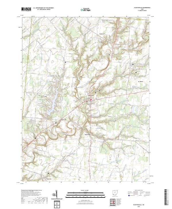 2023 Fayetteville2023 Print · USGSBrown County's rural landscape is captured here in the 2020s, centered on the historic crossroads of Fayetteville and the winding East Fork Little Miami River. Genealogists can trace family names at Ursuline Cem, Engle Cem, and the institutional grounds of Chatfield College.
 - 2023 Map of Newtonsville, 2023 Print
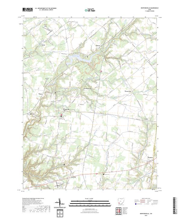 2023 Newtonsville2023 Print · USGSClermont County in the early twenty-first century remains a landscape of historic crossroads like Newtonsville and Edenton. Genealogists can locate several family and community burial grounds including Brick Chapel Cem and Monterey Cem, or trace the winding course of Stonelick Creek.
 - 2023 Map of Williamsburg, 2023 Print
 2023 Williamsburg2023 Print · USGSThe East Fork Little Miami River valley in Clermont County shows a landscape of rural crossroads and river-fed lakes in the 2020s. Researchers can locate burial sites like New Harmony Cem and historic landmarks such as Hennings Mill and the Old Boston Airport.
End of results
Showing maps 1-15 of 15
Top cities near Jackson Township
- Mason historical maps
- Loveland historical maps
- Milford historical maps
- Stonelick Township historical maps
- Amelia historical maps
- Blanchester historical maps
See more
Top neighborhoods of Jackson Township
Frequently asked questions
- What are the different types of historical maps available for Jackson Township?
- What is the oldest map of Jackson Township?
- Where can I purchase historical maps of Jackson Township for my home or office?
- Where can I download high-res historical maps of Jackson Township?
- Are there historical topographic maps available for Jackson Township?
- Is there historical aerial imagery available for Jackson Township?
- Where are historical maps of Jackson Township sourced from?