Old Maps of Monroe Township, Ohio for Academic Research
Study the evolution of Monroe Township with 42 high-resolution historic maps. Whether you're teaching, researching, or modeling changes in land use, these maps provide essential visual documentation of urban, environmental, and geographic change.
- Analyze long-term change: Track patterns in development, transportation, and natural features.
- Ideal for environmental or urban studies: Support academic projects with primary historical map data.
- Use in the classroom or lab: Educators and researchers rely on these maps to bring historical context to life.
These maps are a powerful tool for teaching, research, and visualizing how Monroe Township has changed over the decades.
Monroe Township, OH maps
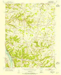
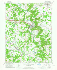
(42)- 1914 Map of Batavia
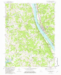
 1914 Batavia1914 Print · USGSClermont County at the start of the Great War shows a landscape connected by steam and electric rail. Genealogists can locate family landmarks like Spread Eagle School, Mt Zion Church, and the winding East Fork Little Miami River.
 - 1916 Map of Batavia
 1916 Batavia1916 Print · USGSClermont County's river valleys and electric railway networks are frozen in time just before the First World War. Researchers can trace dozens of rural school sites like Zionsville School and follow the old Chillicothe Road through Batavia.4 unique versions available
 - 1929 Map of Alexandria
 1929 Alexandria1929 Print · USGSNorthern Kentucky and the Ohio River border appear here in the late twenties as a bustling landscape of ridge-top farms and river-valley rail towns. Genealogists can trace family roots through numerous local landmarks like Oak Island Ch, Grants Lick, and the many rural schools such as Carthage Sch.
 - 1931 Map of Felicity
 1931 Felicity1931 Print · USGSClermont County's riverfront and rolling uplands are captured here in the early thirties as a network of small schoolhouses and rail lines defined rural life. Researchers can trace the path of the Cincinnati Georgetown and Portsmouth RR or locate family sites near Felicity, Utopia, and Lock 34.2 unique versions available
 - 1936 Map of Alexandria
 1936 Alexandria1936 Print · USGSNorthern Kentucky and the Ohio River valley appear here in the mid-1930s, showing a landscape defined by sharp river bends and rural rail stops. Researchers can trace historic schools and parish centers like Sts Peter and Paul Sch, the winding Licking Valley Highway, and the riverside operations at Gubser Mill.2 unique versions available
 - 1953 Map of Laurel, 1955 Print
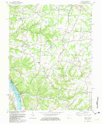
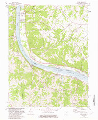
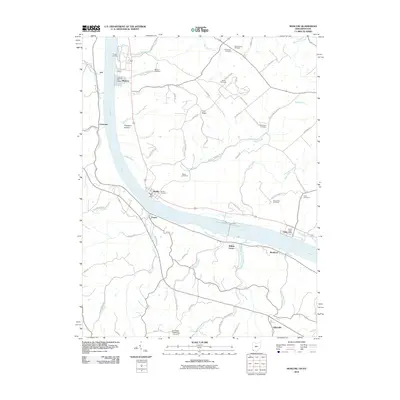
 1953 Laurel1955 Print · USGSClermont County's riverfront and upland hamlets are captured here in the early fifties, showing the rural character of the Ohio River valley. Researchers can locate the Chesapeake and Ohio rail line and historic community hubs like Point Pleasant, Laurel, and the Monroe Sch.
 - 1953 Map of Batavia, 1955 Print
 1953 Batavia1955 Print · USGSClermont County in the early fifties shows a rural landscape transitioning toward modern growth along the East Fork Little Miami River. Researchers can find historic family landmarks like Stonelick Cem, the village of Batavia, and a local Covered Bridge.
 - 1953 Map of New Richmond, 1955 Print
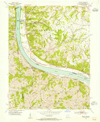
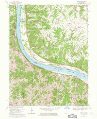
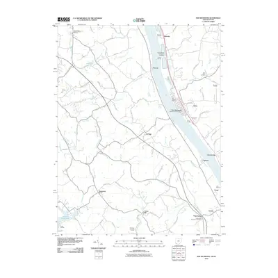
 1953 New Richmond1955 Print · USGSThe Ohio River valley in the early fifties showcases a landscape defined by riverside rail commerce and dispersed rural hamlets. Local historians can trace the foundations of New Richmond alongside community landmarks like Gubser Mill, Twelvemile Ch, and Lock and Dam 35.3 unique versions available
 - 1953 Map of Moscow, 1955 Print
 1953 Moscow1955 Print · USGSThe Ohio River valley in the early fifties reveals a landscape defined by riverside rail travel and upland farming along the Ohio-Kentucky border. Genealogists can trace family sites at Vesper Cem and Flat Rock Ch, or locate old river works at Lock and Dam No 34.2 unique versions available
 - 1953 Map of Cincinnati, 1965 Print
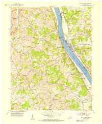
 1953 Cincinnati1965 Print · USGSThe Ohio River valley and the industrial heartland of Indiana and Ohio are captured here during the mid-century peak of rail and river commerce. Genealogists and historians can trace connections between Cincinnati and outlying military sites like Camp Atterbury and Bakalar AFB.3 unique versions available
 - 1956 Map of Louisville, 1971 Print
 1956 Louisville1971 Print · USGSThe Ohio River valley and the Kentucky Bluegrass are captured here during a period of rapid mid-century growth and industrial activity. Genealogists and historians can trace rail-centered towns and military land use at Fort Knox and the Jefferson Proving Ground.2 unique versions available
 - 1957 Map of Cincinnati
 1957 Cincinnati1957 Print · USGSThe Ohio River valley and its surrounding highlands thrived during the mid-fifties industrial peak, centered on the bustling Cincinnati and Dayton metropolitan hubs. Researchers can trace the extensive rail networks and military sites like Wright-Patterson AFB and Camp Atterbury.
 - 1964 Map of Louisville
 1964 Louisville1964 Print · USGSThe Ohio River valley and Kentucky Bluegrass are captured in the mid-1960s, showing a region balanced between industrial growth and its agrarian roots. Genealogists and historians can trace the development of county seats like Shelbyville and Paris, or locate established institutions such as Georgetown College and Bernheim Forest.
 - 1965 Map of Batavia, 1967 Print
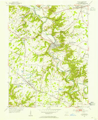
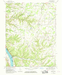
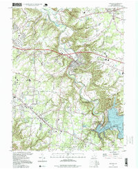
 1965 Batavia1967 Print · USGSClermont County in the mid-sixties shows the transition from rural townships to growing commuter hubs along the Norfolk and Western Railway. You can trace family history at the IOOF Cem or locate vanished landmarks like the Sky Hill Airport and the local Drive-in Theater.5 unique versions available
 - 1968 Map of Laurel, 1970 Print
 1968 Laurel1970 Print · USGSClermont County's riverfront and upland townships are captured here in the late sixties, showing a landscape defined by its deep runs and rural hubs. Researchers can trace historic family names and sites such as the Crane Schoolhouse, Point Pleasant, and the Laurel Cem.2 unique versions available
 - 1968 Map of Moscow, 1971 Print
 1968 Moscow1971 Print · USGSLife along the riverfront takes center stage in the late sixties as navigation and rail transport define this stretch of the Ohio valley. Researchers can trace family history through riverside towns and rural landmarks like Moscow Cem, the Chesapeake + Ohio railroad, and McKendree Cem Ch.2 unique versions available
 - 1981 Map of Laurel, 1982 Print
 1981 Laurel1982 Print · USGSClermont County's riverfront and rural interior are captured here in the early 1980s, documenting a landscape of small hamlets and family-named landmarks. Genealogists can trace sites like Monroe Cem, Franklin Chapel, and the historic river town of Point Pleasant.2 unique versions available
 - 1981 Map of New Richmond, 1982 Print
 1981 New Richmond1982 Print · USGSThe Ohio River valley was a hub of river and rail transport in the early eighties, connecting riverside towns and rural uplands. Genealogists can trace family landmarks at Gubser Mill, Watkins Cem, and the historic Clermont Academy.2 unique versions available
 - 1981 Map of Moscow, 1982 Print
 1981 Moscow1982 Print · USGSThe Ohio River valley near Moscow, Ohio, shows a landscape of heavy river infrastructure and ridge-top farming in the early eighties. Researchers can trace rural lineages through family-named landmarks like Fruit Ridge, McKendree Cem, and the old Flat Rock Ch.2 unique versions available
 - 1986 Map of Cincinnati
 1986 Cincinnati1986 Print · USGSGreater Cincinnati and its tri-state surrounds are captured here in the mid-eighties as suburban growth reached into the neighboring hills and river valleys. Researchers can trace the development of transit hubs like Greater Cincinnati International Airport and historic sites such as Spring Grove Cemetery.3 unique versions available
 - 1986 Map of Falmouth
 1986 Falmouth1986 Print · USGSNorthern Kentucky and the Ohio River valley are shown here in the mid-1980s, highlighting the region's complex river-and-rail geography. Genealogists and researchers can trace the roads connecting Big Bone Lick, Zion Church, and river towns like Falmouth and Augusta.2 unique versions available
 - 1996 Map of Batavia, 1999 Print
 1996 Batavia1999 Print · USGSThe East Fork Little Miami River valley in the late twentieth century shows a landscape transitioning from rural townships to developed communities. Genealogists and local historians can locate Stonelick Cem, Amelia High Sch, and the old Drive-in Theater.
 - 2010 Map of Laurel, 2010 Print
 2010 Laurel2010 Print · USGSCovers Monroe Township, including Mentor, Pierce Township, and other nearby areas
 - 2010 Map of Moscow, 2010 Print
 2010 Moscow2010 Print · USGSCovers Monroe Township, including Moscow, Neville, and other nearby areas
 - 2010 Map of New Richmond, 2010 Print
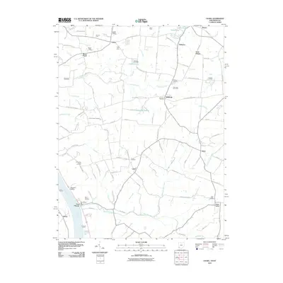
 2010 New Richmond2010 Print · USGSCovers Monroe Township, including Alexandria, New Richmond, and other nearby areas
Showing maps 1-25 of 42
Top cities near Monroe Township
- Cincinnati historical maps
- Fort Thomas historical maps
- Madeira historical maps
- Alexandria historical maps
- Milford historical maps
- Cold Spring historical maps
See more
Top neighborhoods of Monroe Township
- Clermontville historical maps
- Wiltsee historical maps
- Hulington historical maps
- Nicholsville historical maps
- Laurel historical maps
- Mount Holly historical maps
See more
Frequently asked questions
- What are the different types of historical maps available for Monroe Township?
- What is the oldest map of Monroe Township?
- Where can I purchase historical maps of Monroe Township for my home or office?
- Where can I download high-res historical maps of Monroe Township?
- Are there historical topographic maps available for Monroe Township?
- Is there historical aerial imagery available for Monroe Township?
- Where are historical maps of Monroe Township sourced from?