2000s (21st Century) Maps of Arcanum, Ohio
Explore 10 historic maps of Arcanum from the 2000s (21st Century). These maps offer a rare glimpse into what life looked like during the 2000s — showing old roads, neighborhoods, homes, and landmarks that have changed or disappeared over time.
Whether you're researching your family's past, planning a metal detecting trip, or studying how Arcanum's landscape evolved across the 2000s, these high-resolution maps are a powerful tool for exploring the history of this region.
- Focus on a specific era: All maps on this page are from the 2000s, giving you a focused view of this time period.
- See what’s changed: Compare century-old streets, trails, and buildings to today's modern landscape using overlays and satellite layers.
- Research with precision: Use these maps for genealogy, historical research, land use analysis, or educational projects.
- View, download, or print: Maps are fully viewable online in high resolution, and can be downloaded or printed for your own records.
Start exploring Arcanum's history through authentic maps from the 2000s. This is your window into the past.
Arcanum, OH maps
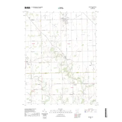
(10)- 2010 Map of Arcanum, 2010 Print
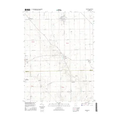
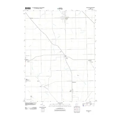 2010 Arcanum2010 Print · USGSCovers Arcanum, including West Manchester, Gordon, and other nearby areas
 - 2010 Map of Greenville East, 2010 Print
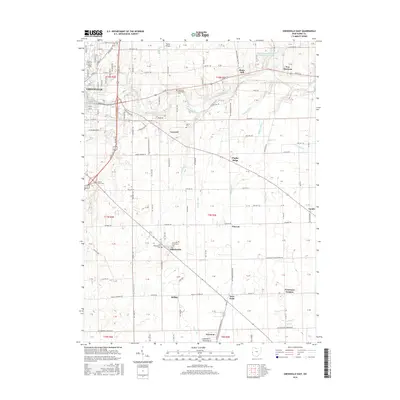
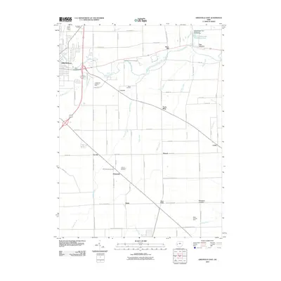 2010 Greenville East2010 Print · USGSCovers Arcanum, including Greenville, Gettysburg, and other nearby areas
 - 2013 Map of Arcanum, 2013 Print
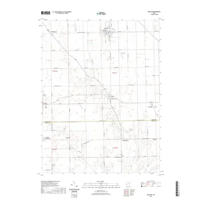
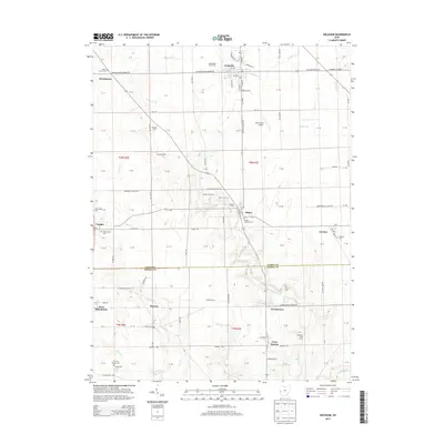 2013 Arcanum2013 Print · USGSCovers Arcanum, including West Manchester, Gordon, and other nearby areas
 - 2013 Map of Greenville East, 2013 Print
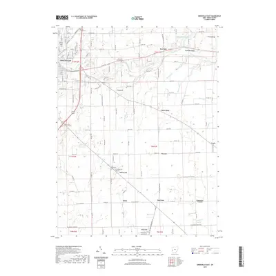
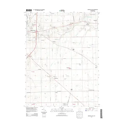 2013 Greenville East2013 Print · USGSCovers Arcanum, including Greenville, Gettysburg, and other nearby areas
 - 2016 Map of Arcanum, 2016 Print
 2016 Arcanum2016 Print · USGSCovers Arcanum, including West Manchester, Gordon, and other nearby areas
 - 2016 Map of Greenville East, 2016 Print
 2016 Greenville East2016 Print · USGSCovers Arcanum, including Greenville, Gettysburg, and other nearby areas
 - 2019 Map of Arcanum, 2019 Print
 2019 Arcanum2019 Print · USGSCovers Arcanum, including West Manchester, Gordon, and other nearby areas
 - 2019 Map of Greenville East, 2019 Print
 2019 Greenville East2019 Print · USGSCovers Arcanum, including Greenville, Gettysburg, and other nearby areas
 - 2023 Map of Greenville East, 2023 Print
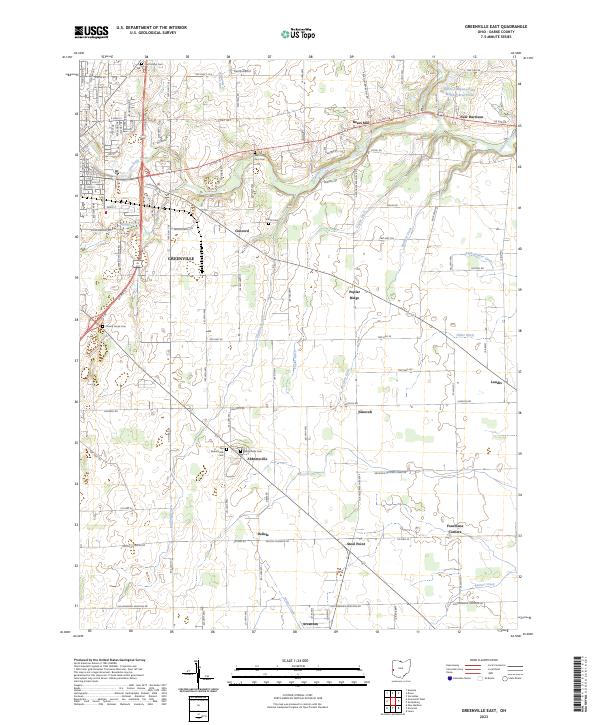 2023 Greenville East2023 Print · USGSEastern Darke County comes into focus in the 2020s, showing the growth of GREENVILLE alongside its rural heritage. Researchers can trace family roots at the Old Abbottsville Cem and locate historic sites like Bears Mill and Steel Point.
 - 2023 Map of Arcanum, 2023 Print
 2023 Arcanum2023 Print · USGSDarke and Preble Counties remain defined by their small crossroads villages and family burial grounds in this modern survey. Researchers can locate numerous heritage sites including the Ithaca Lutheran Cem, Dry Fork Baptist Cem, and the village of Castine.
End of results
Showing maps 1-10 of 10
Top cities near Arcanum
- Trotwood historical maps
- Clayton historical maps
- Greenville historical maps
- Englewood historical maps
- Eaton historical maps
- Brookville historical maps
See more
Frequently asked questions
- What are the different types of historical maps available for Arcanum?
- What is the oldest map of Arcanum?
- Where can I purchase historical maps of Arcanum for my home or office?
- Where can I download high-res historical maps of Arcanum?
- Are there historical topographic maps available for Arcanum?
- Is there historical aerial imagery available for Arcanum?
- Where are historical maps of Arcanum sourced from?