Old Maps of Arcanum, Ohio for Academic Research
Study the evolution of Arcanum with 18 high-resolution historic maps. Whether you're teaching, researching, or modeling changes in land use, these maps provide essential visual documentation of urban, environmental, and geographic change.
- Analyze long-term change: Track patterns in development, transportation, and natural features.
- Ideal for environmental or urban studies: Support academic projects with primary historical map data.
- Use in the classroom or lab: Educators and researchers rely on these maps to bring historical context to life.
These maps are a powerful tool for teaching, research, and visualizing how Arcanum has changed over the decades.
Arcanum, OH maps
(18)- 1953 Map of Cincinnati, 1965 Print
 1953 Cincinnati1965 Print · USGSThe Ohio River valley and the industrial heartland of Indiana and Ohio are captured here during the mid-century peak of rail and river commerce. Genealogists and historians can trace connections between Cincinnati and outlying military sites like Camp Atterbury and Bakalar AFB.3 unique versions available
 - 1953 Map of Muncie, 1966 Print
 1953 Muncie1966 Print · USGSIndiana and Ohio borderlands thrive in the early fifties, showing a landscape defined by manufacturing cities and an intensive railroad network. Genealogists can trace family roots across the Indiana-Ohio line through Muncie, Celina, and Portland via the Pennsylvania railroad.5 unique versions available
 - 1956 Map of Muncie
 1956 Muncie1956 Print · USGSEastern Indiana and western Ohio are shown at a peak of rail-driven industry in the mid-fifties. Genealogists and rail historians can trace the paths of the Pennsylvania RR through Muncie or locate landmarks like Lake Saint Marys (Grand Lake Reservoir) and Frances Slocum State Forest.
 - 1957 Map of Cincinnati
 1957 Cincinnati1957 Print · USGSThe Ohio River valley and its surrounding highlands thrived during the mid-fifties industrial peak, centered on the bustling Cincinnati and Dayton metropolitan hubs. Researchers can trace the extensive rail networks and military sites like Wright-Patterson AFB and Camp Atterbury.
 - 1961 Map of Greenville East, 1962 Print
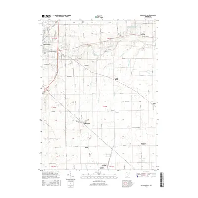
 1961 Greenville East1962 Print · USGSDarke County's rural landscape is captured here in the early sixties, showing the agricultural heartland of western Ohio. Genealogists and historians can trace family-named roads and rural landmarks like Bears Mill, the County Home Cem, and the village of Abbottsville.3 unique versions available
 - 1961 Map of Arcanum, 1963 Print
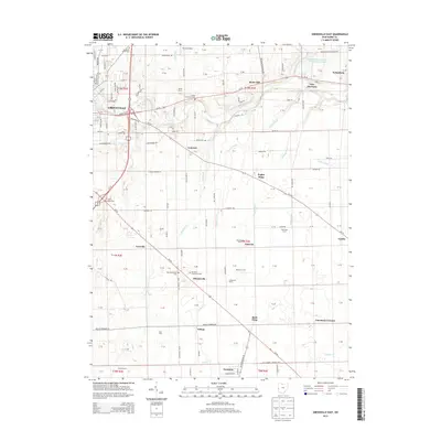
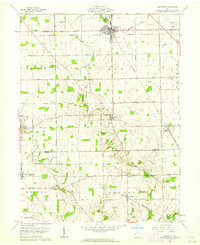 1961 Arcanum1963 Print · USGSDarke and Preble Counties in the early sixties remain a patchwork of productive farmsteads and rural rail junctions. Researchers can trace old family names through locations like Twin Creek Ch, Beechgrove Cem, and the village of Arcanum.2 unique versions available
 - 1986 Map of Piqua
 1986 Piqua1986 Print · USGSThe western Ohio and eastern Indiana borderlands appear here in the mid-1980s, showcasing a landscape of river-valley industry and fertile plains. Researchers can trace historic rail lines like Conrail and Norfolk and Western through towns like Greenville and Winchester.3 unique versions available
 - 1986 Map of Dayton
 1986 Dayton1986 Print · USGSThe Miami Valley and the Indiana-Ohio borderlands reached a peak of suburban and industrial connectivity in the mid-eighties. Genealogists and historians can trace family burial sites at Miami Memorial Garden (Cem) and the development surrounding Wright-Patterson Air Force Base.2 unique versions available
 - 2010 Map of Arcanum, 2010 Print
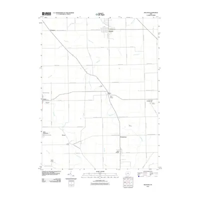 2010 Arcanum2010 Print · USGSCovers Arcanum, including West Manchester, Gordon, and other nearby areas
 - 2010 Map of Greenville East, 2010 Print
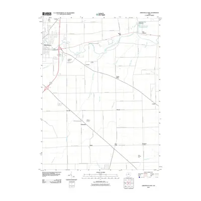 2010 Greenville East2010 Print · USGSCovers Arcanum, including Greenville, Gettysburg, and other nearby areas
 - 2013 Map of Arcanum, 2013 Print
 2013 Arcanum2013 Print · USGSCovers Arcanum, including West Manchester, Gordon, and other nearby areas
 - 2013 Map of Greenville East, 2013 Print
 2013 Greenville East2013 Print · USGSCovers Arcanum, including Greenville, Gettysburg, and other nearby areas
 - 2016 Map of Arcanum, 2016 Print
 2016 Arcanum2016 Print · USGSCovers Arcanum, including West Manchester, Gordon, and other nearby areas
 - 2016 Map of Greenville East, 2016 Print
 2016 Greenville East2016 Print · USGSCovers Arcanum, including Greenville, Gettysburg, and other nearby areas
 - 2019 Map of Arcanum, 2019 Print
 2019 Arcanum2019 Print · USGSCovers Arcanum, including West Manchester, Gordon, and other nearby areas
 - 2019 Map of Greenville East, 2019 Print
 2019 Greenville East2019 Print · USGSCovers Arcanum, including Greenville, Gettysburg, and other nearby areas
 - 2023 Map of Greenville East, 2023 Print
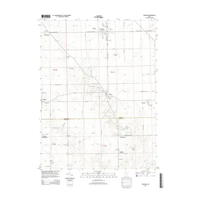
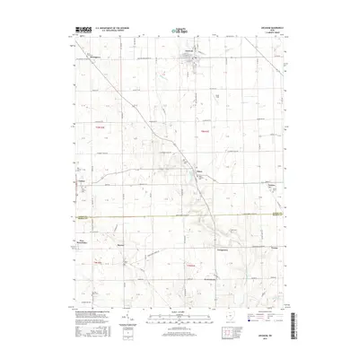
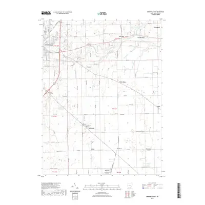
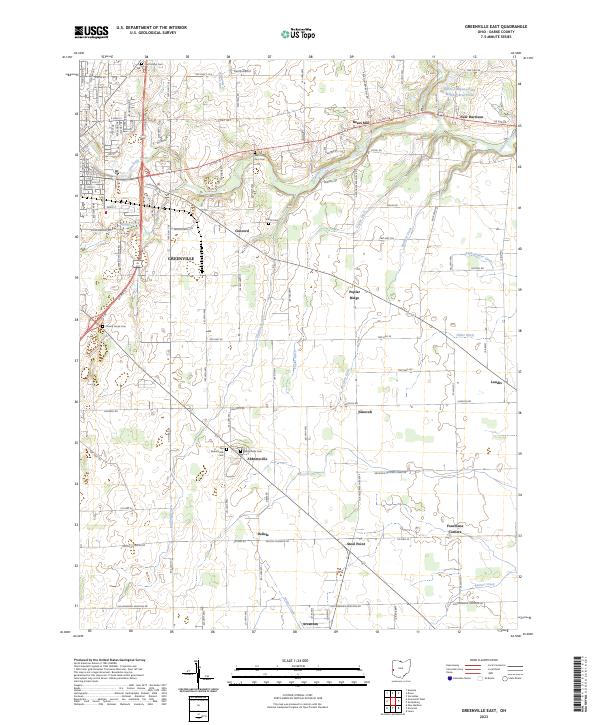 2023 Greenville East2023 Print · USGSEastern Darke County comes into focus in the 2020s, showing the growth of GREENVILLE alongside its rural heritage. Researchers can trace family roots at the Old Abbottsville Cem and locate historic sites like Bears Mill and Steel Point.
 - 2023 Map of Arcanum, 2023 Print
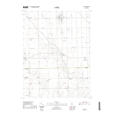
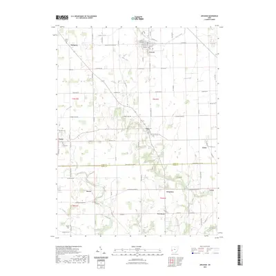 2023 Arcanum2023 Print · USGSDarke and Preble Counties remain defined by their small crossroads villages and family burial grounds in this modern survey. Researchers can locate numerous heritage sites including the Ithaca Lutheran Cem, Dry Fork Baptist Cem, and the village of Castine.
End of results
Showing maps 1-18 of 18
Top cities near Arcanum
- Trotwood historical maps
- Clayton historical maps
- Greenville historical maps
- Englewood historical maps
- Eaton historical maps
- Brookville historical maps
See more
Frequently asked questions
- What are the different types of historical maps available for Arcanum?
- What is the oldest map of Arcanum?
- Where can I purchase historical maps of Arcanum for my home or office?
- Where can I download high-res historical maps of Arcanum?
- Are there historical topographic maps available for Arcanum?
- Is there historical aerial imagery available for Arcanum?
- Where are historical maps of Arcanum sourced from?