Old Maps of Clearcreek Township, Ohio for Academic Research
Study the evolution of Clearcreek Township with 35 high-resolution historic maps. Whether you're teaching, researching, or modeling changes in land use, these maps provide essential visual documentation of urban, environmental, and geographic change.
- Analyze long-term change: Track patterns in development, transportation, and natural features.
- Ideal for environmental or urban studies: Support academic projects with primary historical map data.
- Use in the classroom or lab: Educators and researchers rely on these maps to bring historical context to life.
These maps are a powerful tool for teaching, research, and visualizing how Clearcreek Township has changed over the decades.
Clearcreek Township, OH maps
(35)- 1907 Map of Lancaster, 1958 Print
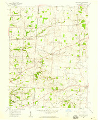
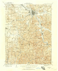 1907 Lancaster1958 Print · USGSFairfield and Hocking counties are captured here in the early twentieth century, showing a landscape defined by the Hocking River valley and early rail corridors. Researchers can locate vanished landmarks like the Abandoned Hocking Canal and the State Industrial School alongside numerous rural schools and churches.
 - 1909 Map of Lancaster, 1938 Print
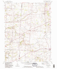
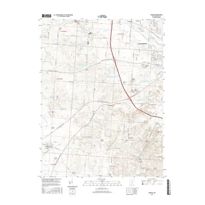
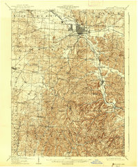 1909 Lancaster1938 Print · USGSFairfield County at the turn of the century shows a bustling rail hub and the remnants of the canal era. Historians can trace the Abandoned Hocking Canal or locate local landmarks like the State Industrial School and Hopewell Church.2 unique versions available
 - 1914 Map of Circleville, 1948 Print
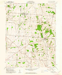
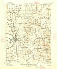 1914 Circleville1948 Print · USGSThe Scioto River valley and Pickaway Plains are captured here during a period of thriving rail commerce and rural schoolhouse districts. Researchers can find ancestral sites from the Reber Hill Cemetery to vanished stops along the Scioto Valley and New England RR.
 - 1943 Map of Circleville
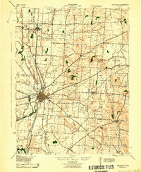 1943 Circleville1943 Print · USGSMid-century Pickaway County is defined here by its intersection of rail power and ancient landmarks along the Scioto River. Genealogists and historians can trace dozens of rural schoolhouses like Bushwhack Sch, the county Infirmary, and the site of the Logan Elm.
 - 1947 Map of Columbus, 1948 Print
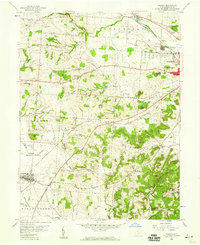
 1947 Columbus1948 Print · USGSCentral Ohio in the late 1940s is captured in this survey, showing the post-war transition of its rail hubs and military airfield expansions. Genealogists and historians can trace the paths of the Ohio Canal, the Pennsylvania RR lines, and the Camp Sherman Military Reservation.
 - 1958 Map of East Ringgold, 1959 Print
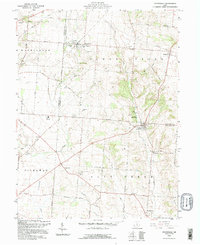
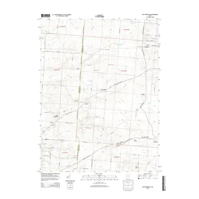
 1958 East Ringgold1959 Print · USGSFairfield and Pickaway counties are captured here in the late fifties, showing a rural landscape defined by creek valleys and crossroad hamlets. Researchers can locate family landmarks like Bethany Ch, the East Union Cem, and the rail siding at Amanda.3 unique versions available
 - 1958 Map of Amanda, 1959 Print
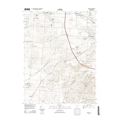
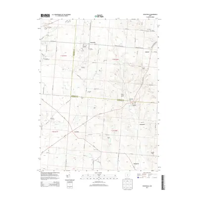
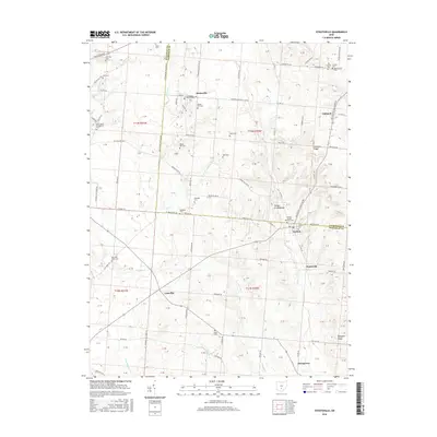
 1958 Amanda1959 Print · USGSFairfield County in the late fifties shows a rural landscape where iron rails and abandoned canal beds trace the path of older commerce. Genealogists and researchers can locate numerous family burial grounds and landmarks like Rock Mill, Mt Zion Ch, and the State Industrial Sch.3 unique versions available
 - 1961 Map of Columbus
 1961 Columbus1961 Print · USGSCentral and Southern Ohio are captured here in the early sixties, as the region's industrial rail hubs and military bases reached their peak. Genealogists and historians can trace the transition from urban Columbus to rural townships along the Scioto River, locating Lockbourne USAF and old junctions like Washington Court House.
 - 1961 Map of Stoutsville, 1962 Print
 1961 Stoutsville1962 Print · USGSStoutsville and the rural townships of Pickaway and Fairfield counties are shown here just after the turn of the decade. Genealogists can trace family names through sites like the County Infirmary, Bunker Hill Cem, and the old Dresbach Ch.3 unique versions available
 - 1961 Map of Clearport, 1963 Print
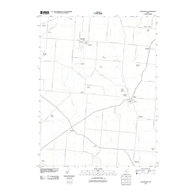
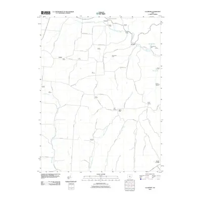
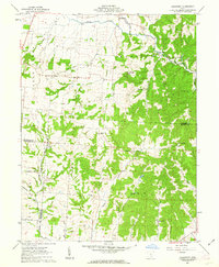 1961 Clearport1963 Print · USGSFairfield County in the early sixties was a landscape of high ridges and rural crossroads where three counties meet. Genealogists can trace family names at Shaeffer Cemetery or Kern Cemetery, and locate old meeting houses like Hopewell Church and Morgan Chapel.4 unique versions available
 - 1962 Map of Columbus
 1962 Columbus1962 Print · USGSCentral Ohio during the early sixties reveals a transition from the industrial corridors of Columbus to the forested ridges of the south. Genealogists and historians can trace the rail networks of the Baltimore & Ohio RR and find local landmarks like Washington Court House and Camp Sherman Military Reservation.
 - 1967 Map of Columbus, 1969 Print
 1967 Columbus1969 Print · USGSCentral Ohio during the late sixties serves as a vital corridor of rail and aviation, from the industrial streets of Springfield to the hangar lines of Lockbourne Air Force Base. Genealogists and researchers can trace the growth of towns like Circleville and London or locate rural landmarks such as St Paul church and the London Correctional Institution.2 unique versions available
 - 1984 Map of Lancaster, 1985 Print
 1984 Lancaster1985 Print · USGSCentral Ohio and the Hocking Valley come into focus during the mid-eighties as suburban growth meets the wooded ridges of the southeast. Researchers can trace transportation networks through Buckeye Lake or locate landmarks like Flint Ridge State Memorial and Moxahala Park.
 - 1992 Map of East Ringgold, 1995 Print
 1992 East Ringgold1995 Print · USGSFairfield and Pickaway counties are shown in the 1990s, revealing a landscape of rural crossroads and historic cemeteries. Genealogists can trace East Union Cem, Ritter Cem, and family-named landmarks like Cedar Hill and Royalton.
 - 1992 Map of Stoutsville, 1995 Print
 1992 Stoutsville1995 Print · USGSFairfield and Pickaway counties are shown in the early nineties, centered on the railroad crossing at Stoutsville. Genealogists can trace family names through landmarks like Maple Hill Cem, Imler Cem, and the old Township Sch near Stringtown.
 - 2010 Map of Amanda, 2010 Print
 2010 Amanda2010 Print · USGSCovers Clearcreek Township, including Lancaster, Amanda, and other nearby areas
 - 2010 Map of East Ringgold, 2010 Print
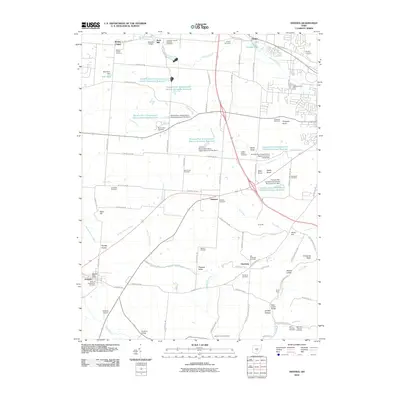
 2010 East Ringgold2010 Print · USGSCovers Clearcreek Township, including Walnut, Amanda, and other nearby areas
 - 2010 Map of Stoutsville, 2010 Print
 2010 Stoutsville2010 Print · USGSCovers Clearcreek Township, including Stoutsville, Tarlton, and other nearby areas
 - 2010 Map of Clearport, 2010 Print
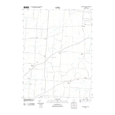
 2010 Clearport2010 Print · USGSCovers Clearcreek Township, including Drinkle, Clearport, and other nearby areas
 - 2013 Map of Amanda, 2013 Print
 2013 Amanda2013 Print · USGSCovers Clearcreek Township, including Lancaster, Amanda, and other nearby areas
 - 2013 Map of East Ringgold, 2013 Print
 2013 East Ringgold2013 Print · USGSCovers Clearcreek Township, including Walnut, Amanda, and other nearby areas
 - 2013 Map of Clearport, 2013 Print
 2013 Clearport2013 Print · USGSCovers Clearcreek Township, including Drinkle, Clearport, and other nearby areas
 - 2013 Map of Stoutsville, 2013 Print
 2013 Stoutsville2013 Print · USGSCovers Clearcreek Township, including Stoutsville, Tarlton, and other nearby areas
 - 2016 Map of Amanda, 2016 Print
 2016 Amanda2016 Print · USGSCovers Clearcreek Township, including Lancaster, Amanda, and other nearby areas
 - 2016 Map of Stoutsville, 2016 Print
 2016 Stoutsville2016 Print · USGSCovers Clearcreek Township, including Stoutsville, Tarlton, and other nearby areas
Showing maps 1-25 of 35
Top cities near Clearcreek Township
- Columbus historical maps
- Lancaster historical maps
- Circleville historical maps
- Ashville historical maps
- Walnut historical maps
- South Bloomfield historical maps
See more
Top neighborhoods of Clearcreek Township
Frequently asked questions
- What are the different types of historical maps available for Clearcreek Township?
- What is the oldest map of Clearcreek Township?
- Where can I purchase historical maps of Clearcreek Township for my home or office?
- Where can I download high-res historical maps of Clearcreek Township?
- Are there historical topographic maps available for Clearcreek Township?
- Is there historical aerial imagery available for Clearcreek Township?
- Where are historical maps of Clearcreek Township sourced from?