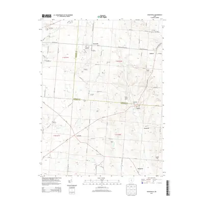
2013 Map of Stoutsville
USGS Topo · Published 2013About this map
Tarlton Cross Mound anchors the central landscape where the borders of Pickaway and Fairfield counties meet, preserving a distinct ancient earthwork amidst the modern agricultural grid. The village of Stoutsville serves as a primary hub, while smaller clusters like Oakland, Tarlton, and Leistville trace the routes of early settlement through the till plains. This map is particularly dense with genealogical sites, recording numerous small family and community burial grounds such as the Stoutsville Reform Cem, Dresbach Cem, and the Rice and Black Cem. The landscape is defined by the drainage of Scippo Cr and Salt Cr, which carve gentle valleys through the terrain. Significant agricultural holdings like Tedrow Farm and Ragland Farms illustrate the continued importance of large-scale farming in this part of Ohio during the early 21st century.
Find a feature on this map
119 named features on this map. Tap any name to fly to it.
Don’t see what you’re looking for? This feature index may not catch every label — zoom into the map to look around manually.
Map Details
Editions of this 2013 Stoutsville Map
This is the sole edition of this map. No revisions or reprints were ever made.
Other maps of this area

1906 · Chillicothe
USGS Topo · 1:62,500

1907 · Lancaster
USGS Topo · 1:62,500

1908 · Chillicothe
USGS Topo · 1:62,500

1909 · Lancaster
USGS Topo · 1:62,500

1910 · Laurelville
USGS Topo · 1:62,500

1912 · Laurelville
USGS Topo · 1:62,500

1914 · Circleville
USGS Topo · 1:62,500

1943 · Circleville
USGS Topo · 1:62,500

1944 · Laurelville
USGS Topo · 1:62,500

1947 · Columbus
USGS Topo · 1:250,000