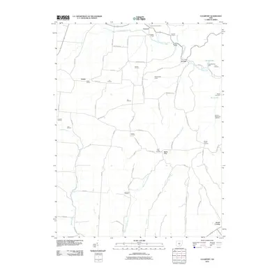
2010 Map of Clearport
USGS Topo · Published 2010About this map
Clearport and the surrounding township appear as a network of rural homesteads and family cemeteries in this 2010 survey. The landscape is defined by the winding course of Clear Creek, which is crossed by notable structures such as the Hanaway Bridge and Johnson Bridge. Settlement is concentrated around small crossroads and named landmarks like the evocative Revenge and the prominence of Emmanuel Knob.
Find a feature on this map
73 named features on this map. Tap any name to fly to it.
Don’t see what you’re looking for? This feature index may not catch every label — zoom into the map to look around manually.
Map Details
Editions of this 2010 Clearport Map
This is the sole edition of this map. No revisions or reprints were ever made.
Other maps of this area

1906 · Chillicothe
USGS Topo · 1:62,500

1907 · Lancaster
USGS Topo · 1:62,500

1908 · Chillicothe
USGS Topo · 1:62,500

1909 · Lancaster
USGS Topo · 1:62,500

1910 · Laurelville
USGS Topo · 1:62,500

1912 · Laurelville
USGS Topo · 1:62,500

1914 · Circleville
USGS Topo · 1:62,500

1943 · Circleville
USGS Topo · 1:62,500

1944 · Laurelville
USGS Topo · 1:62,500

1947 · Columbus
USGS Topo · 1:250,000