2000s (21st Century) Maps of Hamilton Township, Ohio
Explore 20 historic maps of Hamilton Township from the 2000s (21st Century). These maps offer a rare glimpse into what life looked like during the 2000s — showing old roads, neighborhoods, homes, and landmarks that have changed or disappeared over time.
Whether you're researching your family's past, planning a metal detecting trip, or studying how Hamilton Township's landscape evolved across the 2000s, these high-resolution maps are a powerful tool for exploring the history of this region.
- Focus on a specific era: All maps on this page are from the 2000s, giving you a focused view of this time period.
- See what’s changed: Compare century-old streets, trails, and buildings to today's modern landscape using overlays and satellite layers.
- Research with precision: Use these maps for genealogy, historical research, land use analysis, or educational projects.
- View, download, or print: Maps are fully viewable online in high resolution, and can be downloaded or printed for your own records.
Start exploring Hamilton Township's history through authentic maps from the 2000s. This is your window into the past.
Hamilton Township, OH maps
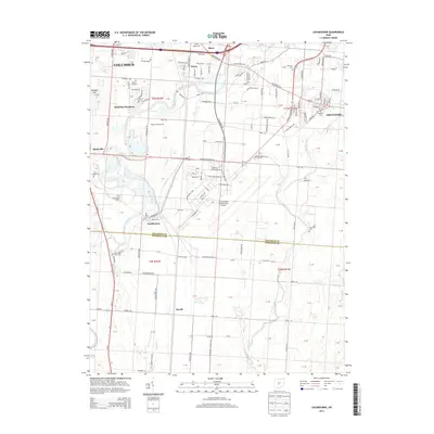
(20)- 2010 Map of Commercial Point, 2010 Print
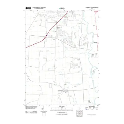 2010 Commercial Point2010 Print · USGSCovers Hamilton Township, including Columbus, Grove City, and other nearby areas
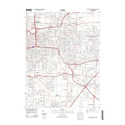
 - 2010 Map of Southwest Columbus, 2010 Print
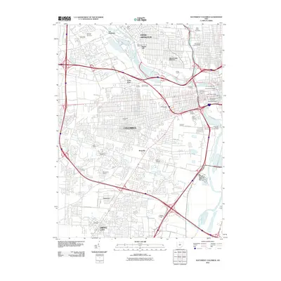 2010 Southwest Columbus2010 Print · USGSCovers Hamilton Township, including Columbus, Upper Arlington, and other nearby areas
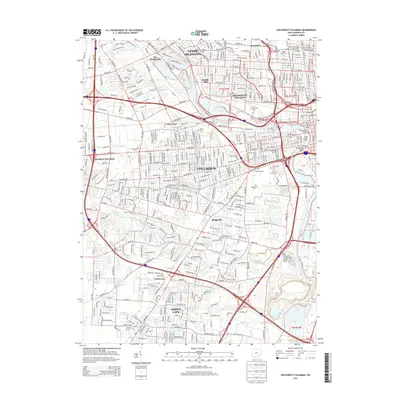
 - 2010 Map of Southeast Columbus, 2010 Print
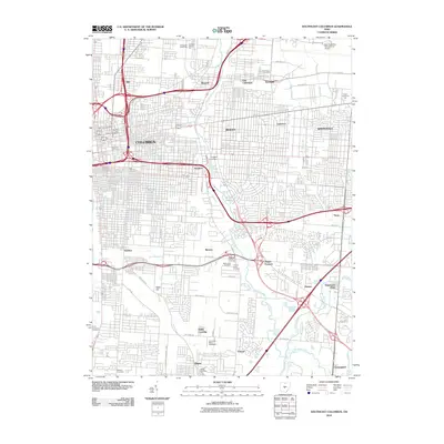 2010 Southeast Columbus2010 Print · USGSCovers Hamilton Township, including Columbus, Whitehall, and other nearby areas
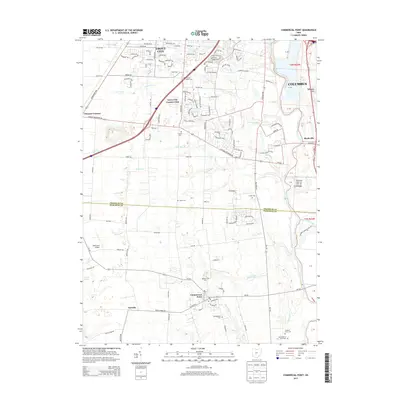
 - 2010 Map of Lockbourne, 2010 Print
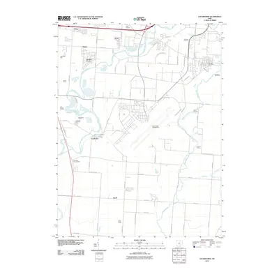 2010 Lockbourne2010 Print · USGSCovers Hamilton Township, including Columbus, Groveport, and other nearby areas
 - 2013 Map of Lockbourne, 2013 Print
 2013 Lockbourne2013 Print · USGSCovers Hamilton Township, including Columbus, Groveport, and other nearby areas
 - 2013 Map of Southeast Columbus, 2013 Print
 2013 Southeast Columbus2013 Print · USGSCovers Hamilton Township, including Columbus, Whitehall, and other nearby areas
 - 2013 Map of Southwest Columbus, 2013 Print
 2013 Southwest Columbus2013 Print · USGSCovers Hamilton Township, including Columbus, Upper Arlington, and other nearby areas
 - 2013 Map of Commercial Point, 2013 Print
 2013 Commercial Point2013 Print · USGSCovers Hamilton Township, including Columbus, Grove City, and other nearby areas
 - 2016 Map of Southwest Columbus, 2016 Print
 2016 Southwest Columbus2016 Print · USGSCovers Hamilton Township, including Columbus, Upper Arlington, and other nearby areas
 - 2016 Map of Commercial Point, 2016 Print
 2016 Commercial Point2016 Print · USGSCovers Hamilton Township, including Columbus, Grove City, and other nearby areas
 - 2016 Map of Lockbourne, 2016 Print
 2016 Lockbourne2016 Print · USGSCovers Hamilton Township, including Columbus, Groveport, and other nearby areas
 - 2016 Map of Southeast Columbus, 2016 Print
 2016 Southeast Columbus2016 Print · USGSCovers Hamilton Township, including Columbus, Whitehall, and other nearby areas
 - 2019 Map of Southwest Columbus, 2019 Print
 2019 Southwest Columbus2019 Print · USGSCovers Hamilton Township, including Columbus, Upper Arlington, and other nearby areas
 - 2019 Map of Commercial Point, 2019 Print
 2019 Commercial Point2019 Print · USGSCovers Hamilton Township, including Columbus, Grove City, and other nearby areas
 - 2019 Map of Lockbourne, 2019 Print
 2019 Lockbourne2019 Print · USGSCovers Hamilton Township, including Columbus, Groveport, and other nearby areas
 - 2019 Map of Southeast Columbus, 2019 Print
 2019 Southeast Columbus2019 Print · USGSCovers Hamilton Township, including Columbus, Whitehall, and other nearby areas
 - 2023 Map of Lockbourne, 2023 Print
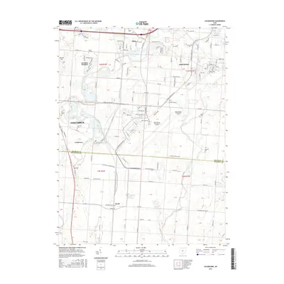
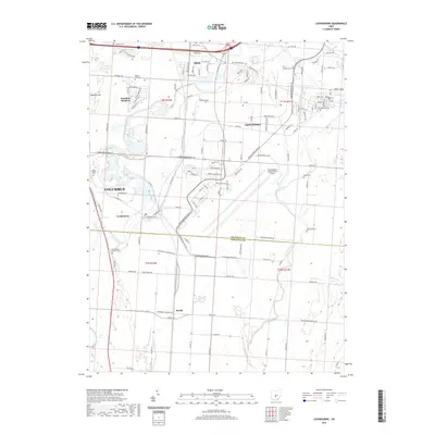
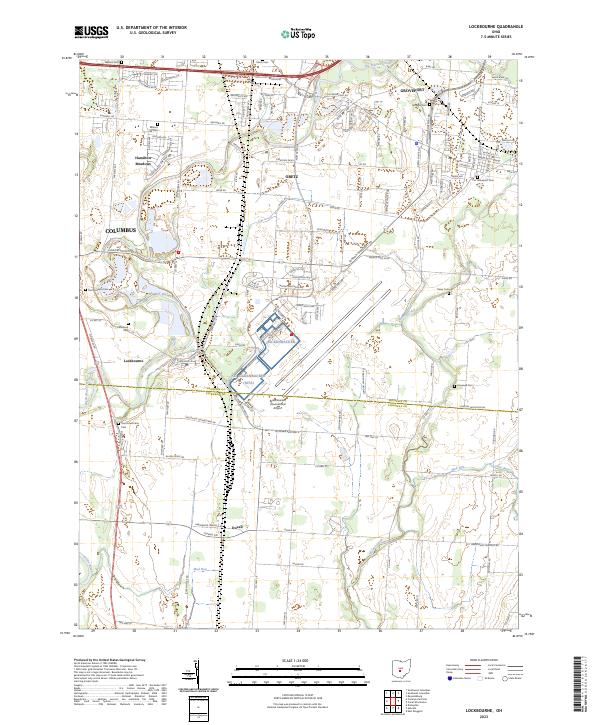 2023 Lockbourne2023 Print · USGSThe Franklin and Pickaway county line south of Columbus reveals a landscape where historic villages meet modern aviation infrastructure. Local historians can trace family ties through several rural burial grounds like Paul Peters Farm Cem and Rarey Cem while surveying the vast footprint of Rickenbacker International Airport.
 - 2023 Map of Commercial Point, 2023 Print
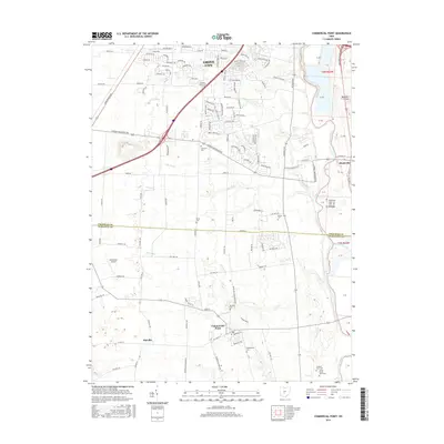
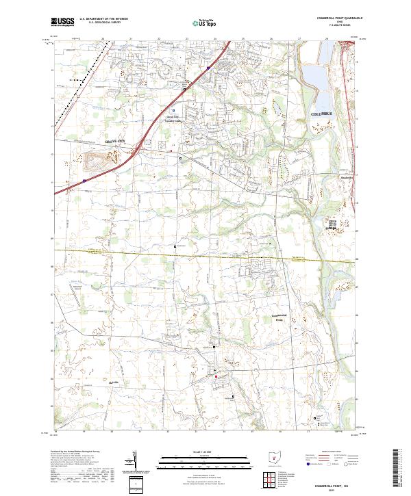 2023 Commercial Point2023 Print · USGSThe Scioto River valley south of Columbus shows a landscape of suburban growth and family heritage in the early twenty-first century. Genealogists can trace several small burial sites like Seeds Cem and Beckett Cem near the historic hub of Commercial Point.
 - 2023 Map of Southwest Columbus, 2023 Print
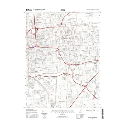
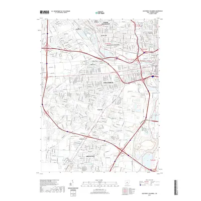
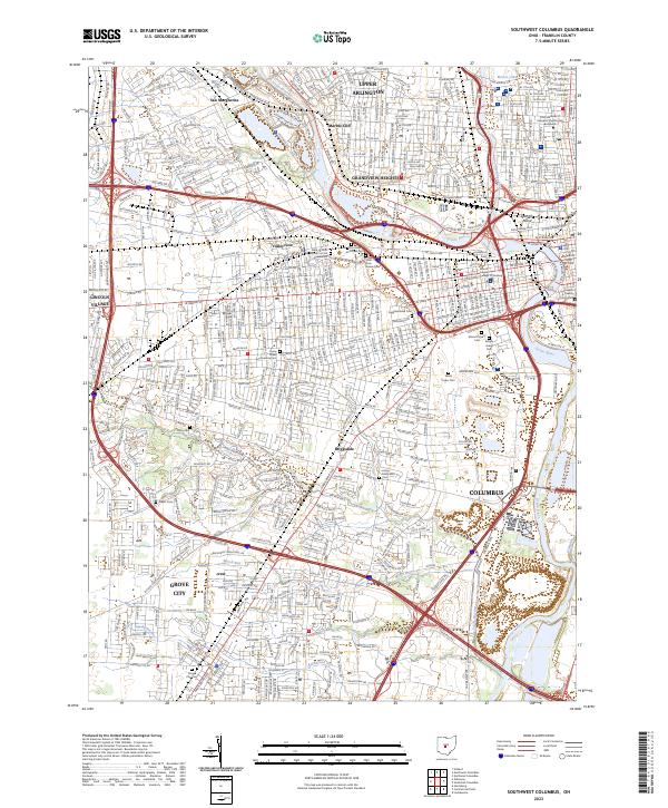 2023 Southwest Columbus2023 Print · USGSModern Columbus and its western suburbs come into focus in this recent survey. Genealogists and historians can locate burial sites at Green Lawn Cem or the solemn Camp Chase Confederate Cem near Briggsdale.
 - 2023 Map of Southeast Columbus, 2023 Print
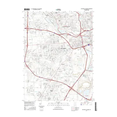
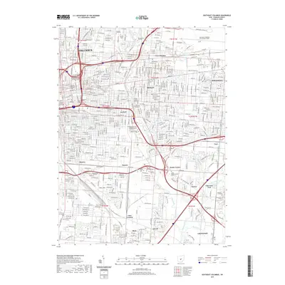
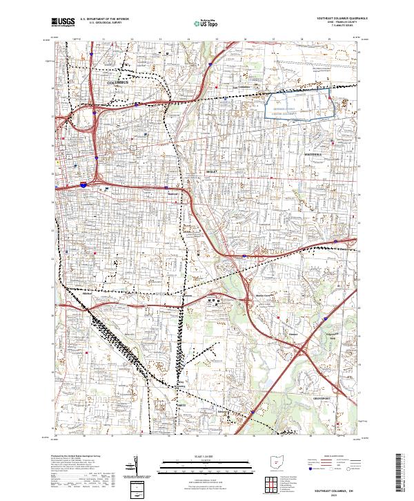 2023 Southeast Columbus2023 Print · USGSThe Columbus metropolitan area and its eastern suburbs are mapped here during a period of modern growth. Genealogists and researchers can trace the neighborhoods of Bexley and Whitehall, or locate landmarks like Evergreen Burial Park and Hanford.
End of results
Showing maps 1-20 of 20
Top cities near Hamilton Township
- Columbus historical maps
- Dublin historical maps
- Hilliard historical maps
- Upper Arlington historical maps
- Reynoldsburg historical maps
- Gahanna historical maps
See more
Top neighborhoods of Hamilton Township
- Shadeville historical maps
- Lockbourne historical maps
- Reese historical maps
- Hamilton Meadows historical maps
Frequently asked questions
- What are the different types of historical maps available for Hamilton Township?
- What is the oldest map of Hamilton Township?
- Where can I purchase historical maps of Hamilton Township for my home or office?
- Where can I download high-res historical maps of Hamilton Township?
- Are there historical topographic maps available for Hamilton Township?
- Is there historical aerial imagery available for Hamilton Township?
- Where are historical maps of Hamilton Township sourced from?