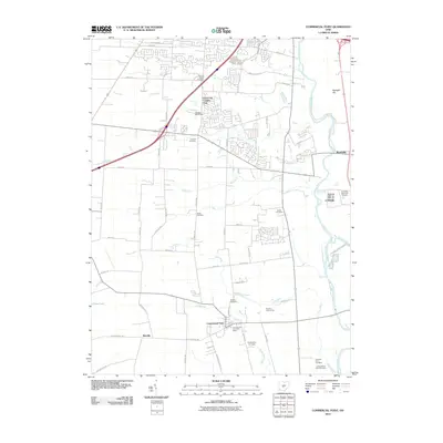
2010 Map of Commercial Point
USGS Topo · Published 2010About this map
Commercial Point and the nearby unincorporated communities of Shadeville and Matville anchor this early 21st-century landscape south of the Columbus metro area. The terrain is defined by the winding course of the Scioto River along the eastern edge, joined by several local tributaries including Plum Run, Peters Run, and Grant Run. This map is particularly valuable for genealogists, as it meticulously documents numerous small burial grounds and family plots, such as the Thomas Adams Cemetery, Caldwell Farm Cemetery, and the James Borrer Farm Cemetery. The map also captures the local agricultural and recreational character of the region, from the Columbus Municipal Nursery near the riverbanks to the Grove City Country Club and Fox Fire Golf Course. Residential expansion is evident in the northern subdivisions near Ventura Blvd, while the southern reaches maintain a more rural, farm-dominated grid.
Find a feature on this map
58 named features on this map. Tap any name to fly to it.
Don’t see what you’re looking for? This feature index may not catch every label — zoom into the map to look around manually.
Map Details
Editions of this 2010 Commercial Point Map
This is the sole edition of this map. No revisions or reprints were ever made.
Other maps of this area

1911 · Era
USGS Topo · 1:62,500

1913 · Era
USGS Topo · 1:62,500

1914 · Circleville
USGS Topo · 1:62,500

1923 · West Columbus
USGS Topo · 1:62,500

1925 · East Columbus
USGS Topo · 1:62,500

1925 · West Columbus
USGS Topo · 1:62,500

1943 · Era
USGS Topo · 1:62,500

1943 · Circleville
USGS Topo · 1:62,500

1943 · East Columbus
USGS Topo · 1:62,500

1947 · Columbus
USGS Topo · 1:250,000