2000s (21st Century) Maps of Crosby Township, Ohio
Explore 20 historic maps of Crosby Township from the 2000s (21st Century). These maps offer a rare glimpse into what life looked like during the 2000s — showing old roads, neighborhoods, homes, and landmarks that have changed or disappeared over time.
Whether you're researching your family's past, planning a metal detecting trip, or studying how Crosby Township's landscape evolved across the 2000s, these high-resolution maps are a powerful tool for exploring the history of this region.
- Focus on a specific era: All maps on this page are from the 2000s, giving you a focused view of this time period.
- See what’s changed: Compare century-old streets, trails, and buildings to today's modern landscape using overlays and satellite layers.
- Research with precision: Use these maps for genealogy, historical research, land use analysis, or educational projects.
- View, download, or print: Maps are fully viewable online in high resolution, and can be downloaded or printed for your own records.
Start exploring Crosby Township's history through authentic maps from the 2000s. This is your window into the past.
Crosby Township, OH maps
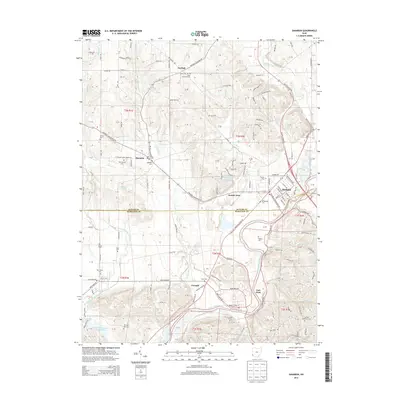
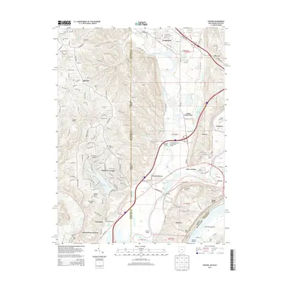
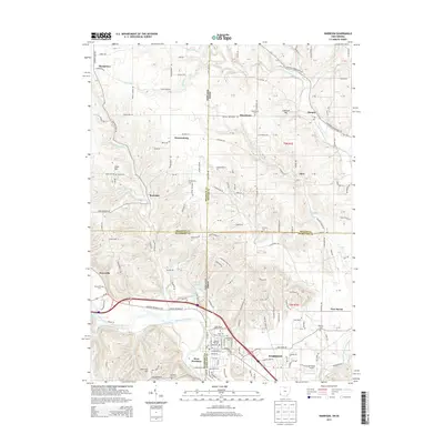
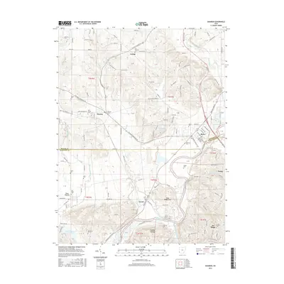
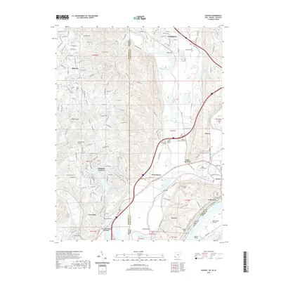
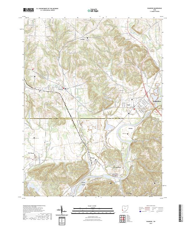
(20)- 2010 Map of Shandon, 2010 Print
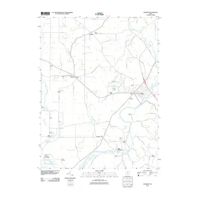 2010 Shandon2010 Print · USGSCovers Crosby Township, including Fairfield, Ross Township, and other nearby areas
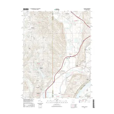
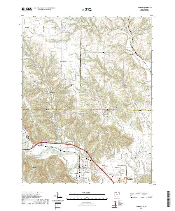
 - 2010 Map of Harrison, 2010 Print
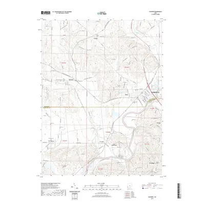
 2010 Harrison2010 Print · USGSCovers Crosby Township, including Harrison, West Harrison, and other nearby areas
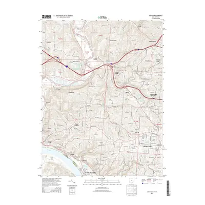
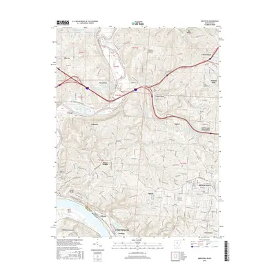
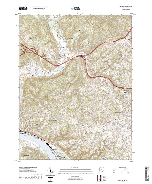
 - 2010 Map of Addyston, 2010 Print
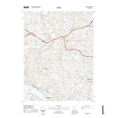
 2010 Addyston2010 Print · USGSCovers Crosby Township, including Cincinnati, Cheviot, and other nearby areas
 - 2010 Map of Hooven, 2010 Print
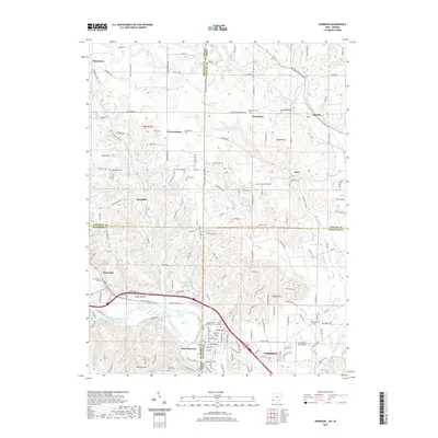
 2010 Hooven2010 Print · USGSCovers Crosby Township, including Harrison, Greendale, and other nearby areas
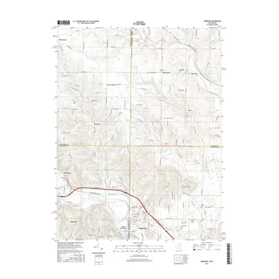
 - 2013 Map of Shandon, 2013 Print
 2013 Shandon2013 Print · USGSCovers Crosby Township, including Fairfield, Ross Township, and other nearby areas
 - 2013 Map of Addyston, 2013 Print
 2013 Addyston2013 Print · USGSCovers Crosby Township, including Cincinnati, Cheviot, and other nearby areas
 - 2013 Map of Hooven, 2013 Print
 2013 Hooven2013 Print · USGSCovers Crosby Township, including Harrison, Greendale, and other nearby areas
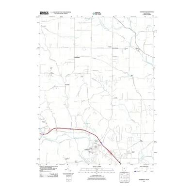
 - 2013 Map of Harrison, 2013 Print
 2013 Harrison2013 Print · USGSCovers Crosby Township, including Harrison, West Harrison, and other nearby areas
 - 2016 Map of Shandon, 2016 Print
 2016 Shandon2016 Print · USGSCovers Crosby Township, including Fairfield, Ross Township, and other nearby areas
 - 2016 Map of Hooven, 2016 Print
 2016 Hooven2016 Print · USGSCovers Crosby Township, including Harrison, Greendale, and other nearby areas
 - 2016 Map of Addyston, 2016 Print
 2016 Addyston2016 Print · USGSCovers Crosby Township, including Cincinnati, Cheviot, and other nearby areas
 - 2016 Map of Harrison, 2016 Print
 2016 Harrison2016 Print · USGSCovers Crosby Township, including Harrison, West Harrison, and other nearby areas
 - 2019 Map of Hooven, 2019 Print
 2019 Hooven2019 Print · USGSCovers Crosby Township, including Harrison, Greendale, and other nearby areas
 - 2019 Map of Shandon, 2019 Print
 2019 Shandon2019 Print · USGSCovers Crosby Township, including Fairfield, Ross Township, and other nearby areas
 - 2019 Map of Harrison, 2019 Print
 2019 Harrison2019 Print · USGSCovers Crosby Township, including Harrison, West Harrison, and other nearby areas
 - 2019 Map of Addyston, 2019 Print
 2019 Addyston2019 Print · USGSCovers Crosby Township, including Cincinnati, Cheviot, and other nearby areas
 - 2023 Map of Addyston, 2023 Print
 2023 Addyston2023 Print · USGSHamilton County's riverfront communities are captured here as they stand today, from the industrial banks of the Ohio River to the residential ridges. Researchers can locate numerous local burial sites including Miami Cem and Ebenezer Cem or trace the winding course of the Great Miami River.
 - 2023 Map of Shandon, 2023 Print
 2023 Shandon2023 Print · USGSButler and Hamilton counties come together in this contemporary look at the Ohio countryside near the Great Miami River. Genealogists can trace family heritage through numerous burial grounds like Sater Cem and Venice Cem, while mapping the footprints of Layhigh and Dry Ridge.
 - 2023 Map of Harrison, 2023 Print
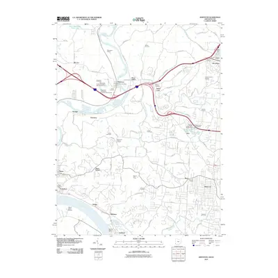
 2023 Harrison2023 Print · USGSThe Whitewater River valley comes to life in this modern survey of the Indiana-Ohio borderlands. Researchers can trace family roots through numerous burial sites like Otwell Cem and Macedonia Cem or explore the corridors around Harrison and Okeana.
 - 2023 Map of Hooven, 2023 Print
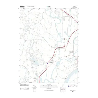
 2023 Hooven2023 Print · USGSThe river valleys of the Whitewater, Great Miami, and Ohio converge at the tri-state border in this modern era survey. Local historians and genealogists can trace family landmarks and burial sites like Elizabethtown Cem or the specialized Lost Bridge Airport.
End of results
Showing maps 1-20 of 20
Top cities near Crosby Township
- Cincinnati historical maps
- Hamilton historical maps
- Fairfield historical maps
- Covington historical maps
- Oxford historical maps
- Erlanger historical maps
See more
Top neighborhoods of Crosby Township
- Fort Scott historical maps
- New Haven historical maps
- Fernald historical maps
- New Baltimore historical maps
Frequently asked questions
- What are the different types of historical maps available for Crosby Township?
- What is the oldest map of Crosby Township?
- Where can I purchase historical maps of Crosby Township for my home or office?
- Where can I download high-res historical maps of Crosby Township?
- Are there historical topographic maps available for Crosby Township?
- Is there historical aerial imagery available for Crosby Township?
- Where are historical maps of Crosby Township sourced from?