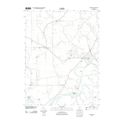
2010 Map of Shandon
USGS Topo · Published 2010About this map
The Great Miami River and the Dry Fork Whitewater River define the agricultural and suburban landscape of this portion of Butler County. The settlement of Shandon serves as a focal point, supported by the Shandon Post Office and nearby New London Cemetery. This 2010 survey highlights a transition from traditional rural life to modern recreation and light infrastructure, as evidenced by the large Miami Whitewater Forest Lake and its associated Miami Whitewater Forest Dam in the southwest.
Find a feature on this map
84 named features on this map. Tap any name to fly to it.
Don’t see what you’re looking for? This feature index may not catch every label — zoom into the map to look around manually.
Map Details
Editions of this 2010 Shandon Map
This is the sole edition of this map. No revisions or reprints were ever made.
Other maps of this area

1914 · West Cincinnati
USGS Topo · 1:62,500

1915 · Lawrenceburg
USGS Topo · 1:48,000

1915 · Harrison
USGS Topo · 1:48,000

1915 · Hamilton
USGS Topo · 1:62,500

1917 · Hamilton
USGS Topo · 1:62,500

1928 · Lawrenceburg
USGS Topo · 1:62,500

1932 · Lawrenceburg
USGS Topo · 1:62,500

1943 · Hooven
USGS Topo · 1:24,000

1953 · Cincinnati West
USGS Topo · 1:24,000

1953 · Cincinnati
USGS Topo · 1:250,000