Old Maps of Marion Township, Ohio for Genealogy
Trace your family roots with 19 historic maps of Marion Township. These high-res maps reveal old neighborhoods, homesites, landmarks, and streets — helping you uncover where your ancestors lived and how the area evolved over time.
- Explore historic neighborhoods: Identify where your relatives may have lived in the 1800s or 1900s.
- Compare maps over time: Trace the changes in streets, buildings, and landmarks for multi-generational research.
- Perfect for genealogy & ancestry research: Used by family historians and researchers to map out lineage and migration.
These maps are an incredible resource for exploring your personal connection to Marion Township's past.
Marion Township, OH maps
(19)- 1913 Map of Alger
 1913 Alger1913 Print · USGSWestern Ohio's agricultural heartland is documented here just before the Great War, showing a landscape shaped by drainage ditches and rail lines. Locate family landmarks like the Bee Hive School, Mt Zion Church, and the vanished stops along the Chicago & Erie Railroad.2 unique versions available
 - 1915 Map of Alger
 1915 Alger1915 Print · USGSNorthwest Ohio's agricultural and rail heartland is captured here just before the First World War. Genealogists can locate family homesteads near dozens of early rural schoolhouses like Kingsley School and trace the paths of the ERIE RR and LAKEVIEW ELECTRIC ROAD.4 unique versions available
 - 1943 Map of Alger
 1943 Alger1943 Print · USGSDuring the early 1940s, this pocket of Ohio was a landscape of rail-fed villages and drainage ditches. Trace family roots across a grid of rural schools like Sugarfree Sch, follow the Erie RR through Alger, or explore the shores of Indian Lake.
 - 1950 Map of Marion
 1950 Marion1950 Print · USGSCentral Ohio was a powerhouse of rail and river industry at the mid-century point, serving as a vital corridor between the Great Lakes and the Ohio River valley. Genealogists and rail historians can trace the paths of the Erie RR and Nickel Plate Road through towns like Bucyrus, Galion, and Upper Sandusky.
 - 1961 Map of Alger, 1962 Print
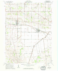 1961 Alger1962 Print · USGSNorthwestern Hardin County thrived as a rail and drainage hub in the early sixties. Genealogists can trace family names at Carman Cem and Preston Cem or locate old community centers like Quickstep Ch and the village of McGuffey.2 unique versions available
 - 1961 Map of Harrod, 1963 Print
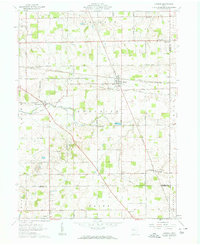 1961 Harrod1963 Print · USGSThe rural landscape of Allen and Auglaize Counties in the early sixties centers on the ERIE LACKAWANNA rail line and the Auglaize River. Genealogists can trace family footprints across dozens of local sites, including Harrod, West Newton, and Salem Cem.2 unique versions available
 - 1962 Map of Marion
 1962 Marion1962 Print · USGSCentral Ohio during the post-war era showcases a dense network of railroad towns and emerging interstate highways. Genealogists can trace family roots in smaller settlements like Houcktown and Marseilles or locate landmarks near Indian Lake.
 - 1966 Map of Marion, 1968 Print
 1966 Marion1968 Print · USGSCentral Ohio in the mid-sixties is captured during a period of rapid highway expansion and industrial connectivity. Genealogists and historians can trace rail-and-river networks through towns like Marion, Urbana, and Mount Vernon, or locate landmarks such as Malabar Farm and Black Hand Rock.3 unique versions available
 - 1986 Map of Marion
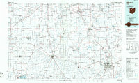 1986 Marion1986 Print · USGSNorthwest Ohio's agricultural and rail heartland is captured here in the mid-1980s, centered on the expansion of Marion and Kenton. Genealogists can trace family footprints near Bluffton College, old rail stops like Dola, and landmarks such as Indian Lake State Park.2 unique versions available
 - 2010 Map of Harrod, 2010 Print
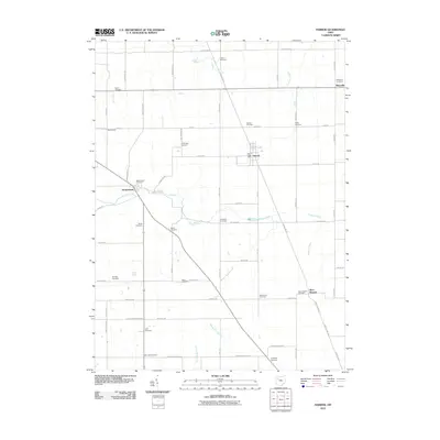 2010 Harrod2010 Print · USGSAllen County farmland is captured here in the early 2000s, showing a landscape defined by the Auglaize River and established township grids. Genealogists can trace family heritage through nearly twenty local sites including Salem Cemetery, Hullibarger Cemetery, and West Newton Cemetery.
 - 2010 Map of Alger, 2010 Print
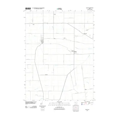 2010 Alger2010 Print · USGSHardin County agriculture and engineering are on full display in this early 21st-century survey of the Alger and McGuffey area. Researchers can trace historic family burial sites at Preston Cemetery or Huntersville Cemetery and study the vital drainage network of the Cottonwood Ditch.
 - 2013 Map of Harrod, 2013 Print
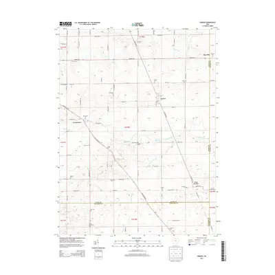 2013 Harrod2013 Print · USGSHarrod and the surrounding Allen County townships are captured here during a period of enduring rural character. Genealogists can trace family names through numerous burial grounds like Hullibarger Cem and Shockley Cem along the Erie Lackawanna corridor.
 - 2013 Map of Alger, 2013 Print
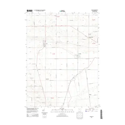 2013 Alger2013 Print · USGSHardin County's agricultural heartland is documented here in the early twenty-first century, showing the evolved landscape of the Scioto River headwaters. Genealogists can trace several burial sites like Preston Cem and Woodlawn Cem, alongside small settlements like Quickstep and McGuffey.
 - 2016 Map of Alger, 2016 Print
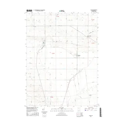 2016 Alger2016 Print · USGSHardin County agriculture and drainage patterns are on full display in the mid-2010s. Genealogists can trace family footprints through rural burial sites like Woodlawn Cem or the namesake Huntersville Cem near the banks of Mud Run.
 - 2016 Map of Harrod, 2016 Print
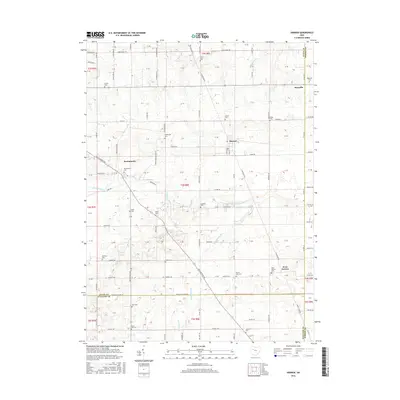 2016 Harrod2016 Print · USGSHarrod and the surrounding Allen County townships are mapped here in the mid-2010s, showcasing a landscape of established family farms and river drainage. Genealogists can locate numerous burial sites including Salem Cem, Hopewell Cem, and Hullibarger Cem near the Auglaize River.
 - 2019 Map of Harrod, 2019 Print
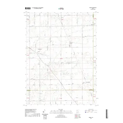 2019 Harrod2019 Print · USGSThe rural crossroads of Allen County are captured here in the late twenty-teens, showing the enduring agricultural layout of the Auglaize River valley. Researchers can trace local lineage through a high concentration of small burial sites like Hefner Cem, Salem Cem, and Mars Hill Cem.
 - 2019 Map of Alger, 2019 Print
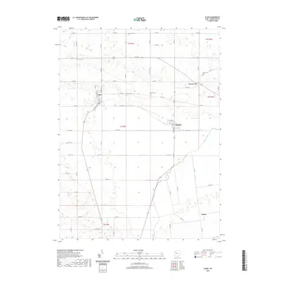 2019 Alger2019 Print · USGSHardin County's agricultural heartland is documented here in the early twenty-first century, centered on the villages of Alger and McGuffey. Genealogists and local historians can locate several rural burial sites, including Woodlawn Cem and Carman Cem, alongside the headwaters of the Scioto River.
 - 2023 Map of Alger, 2023 Print
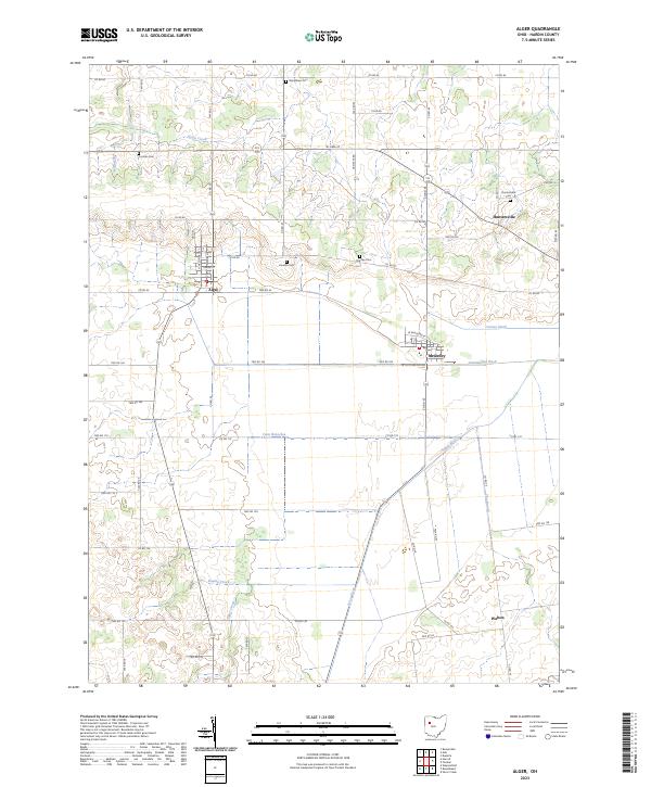 2023 Alger2023 Print · USGSHardin County agriculture and drainage patterns are on full display in this modern survey of the Scioto River headwaters. Trace local family history through several rural burial sites like Preston Cem and Carman Cem, or explore the village layouts of Alger and McGuffey.
 - 2023 Map of Harrod, 2023 Print
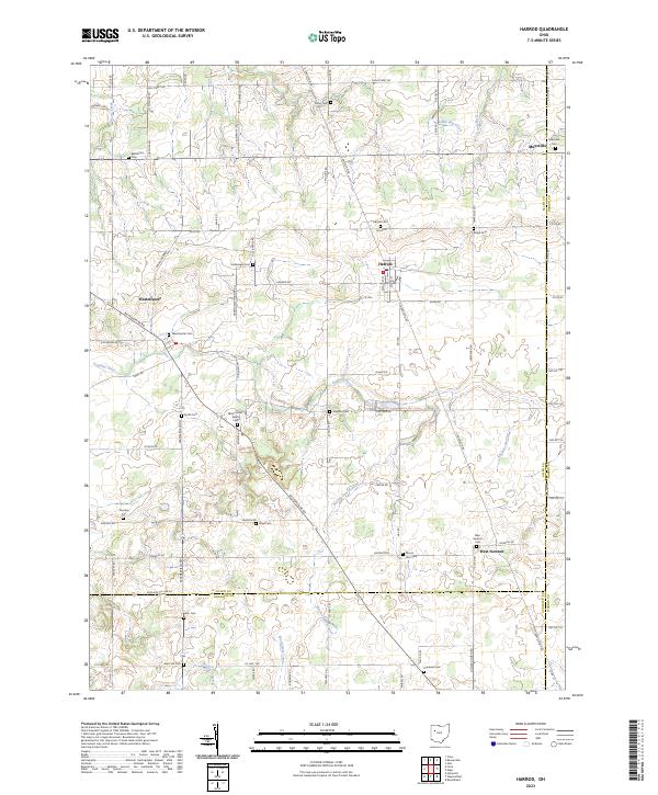 2023 Harrod2023 Print · USGSThis part of Allen and Hardin counties is characterized by its small agricultural hubs and dense network of rural burial sites. Genealogists can trace family names at the Hullibarger Cem, Ridge Cem, and the village of Harrod.
End of results
Showing maps 1-19 of 19
Top cities near Marion Township
- Kenton historical maps
- Ada historical maps
- Bluffton historical maps
- Blanchard historical maps
- Russells Point historical maps
- Arlington historical maps
See more
Top neighborhoods of Marion Township
Frequently asked questions
- What are the different types of historical maps available for Marion Township?
- What is the oldest map of Marion Township?
- Where can I purchase historical maps of Marion Township for my home or office?
- Where can I download high-res historical maps of Marion Township?
- Are there historical topographic maps available for Marion Township?
- Is there historical aerial imagery available for Marion Township?
- Where are historical maps of Marion Township sourced from?