Old Maps of Folsom, Ohio for Academic Research
Study the evolution of Folsom with 13 high-resolution historic maps. Whether you're teaching, researching, or modeling changes in land use, these maps provide essential visual documentation of urban, environmental, and geographic change.
- Analyze long-term change: Track patterns in development, transportation, and natural features.
- Ideal for environmental or urban studies: Support academic projects with primary historical map data.
- Use in the classroom or lab: Educators and researchers rely on these maps to bring historical context to life.
These maps are a powerful tool for teaching, research, and visualizing how Folsom has changed over the decades.
Folsom, OH maps
(13)- 1917 Map of Hillsboro, 1941 Print
 1917 Hillsboro1941 Print · USGSHighland County during the First World War era was a bustling network of electric rail lines and one-room schoolhouses. Genealogists can locate family landmarks like the Highland County Infirmary or schools such as Kansas College School and Brier College School.2 unique versions available
 - 1944 Map of Hillsboro
 1944 Hillsboro1944 Print · USGSHighland County is documented here during the mid-forties, showing the vital rail junction at Hillsboro and a dense network of rural schools. Trace ancestral roots through localized landmarks like Brier College Sch, Mowrystown, and Millers Chapel Ch.
 - 1947 Map of Columbus, 1948 Print
 1947 Columbus1948 Print · USGSCentral Ohio in the late 1940s is captured in this survey, showing the post-war transition of its rail hubs and military airfield expansions. Genealogists and historians can trace the paths of the Ohio Canal, the Pennsylvania RR lines, and the Camp Sherman Military Reservation.
 - 1961 Map of Columbus
 1961 Columbus1961 Print · USGSCentral and Southern Ohio are captured here in the early sixties, as the region's industrial rail hubs and military bases reached their peak. Genealogists and historians can trace the transition from urban Columbus to rural townships along the Scioto River, locating Lockbourne USAF and old junctions like Washington Court House.
 - 1961 Map of Belfast, 1962 Print
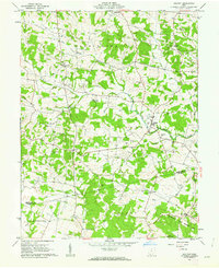 1961 Belfast1962 Print · USGSHighland and Adams counties in the early sixties reveal a landscape of small farming hamlets and numerous family cemeteries. Genealogists and local historians can trace legacy sites like Burnetts Chapel, Old Concord Cem, and the quiet crossroads of Belfast.4 unique versions available
 - 1962 Map of Columbus
 1962 Columbus1962 Print · USGSCentral Ohio during the early sixties reveals a transition from the industrial corridors of Columbus to the forested ridges of the south. Genealogists and historians can trace the rail networks of the Baltimore & Ohio RR and find local landmarks like Washington Court House and Camp Sherman Military Reservation.
 - 1967 Map of Columbus, 1969 Print
 1967 Columbus1969 Print · USGSCentral Ohio during the late sixties serves as a vital corridor of rail and aviation, from the industrial streets of Springfield to the hangar lines of Lockbourne Air Force Base. Genealogists and researchers can trace the growth of towns like Circleville and London or locate rural landmarks such as St Paul church and the London Correctional Institution.2 unique versions available
 - 1986 Map of Hillsboro
 1986 Hillsboro1986 Print · USGSThe rural landscapes of Highland and Clinton counties appear in the mid-eighties as a busy corridor of railroads and regional airports. Genealogists and historians can trace old community centers like Reesville and Starbucktown alongside significant landmarks like Wilmington College and Fort Hill State Memorial.2 unique versions available
 - 2010 Map of Belfast, 2010 Print
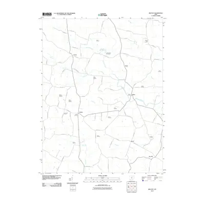 2010 Belfast2010 Print · USGSSouthern Highland County at the turn of the millennium remains a patchwork of family farms and creek valleys. Genealogists can trace ancestral plots near Union Chapel Cemetery or locate the rural hubs of Belfast and Fairfax.
 - 2013 Map of Belfast, 2013 Print
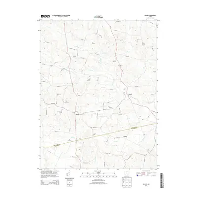 2013 Belfast2013 Print · USGSHighland and Adams counties meet here during the early twenty-first century, showing a landscape of family farms and rural hamlets. Genealogists can trace numerous burial grounds like Old Concord Cem and Parks Cem, or locate landmarks such as the Diamond B Mule Farm.
 - 2016 Map of Belfast, 2016 Print
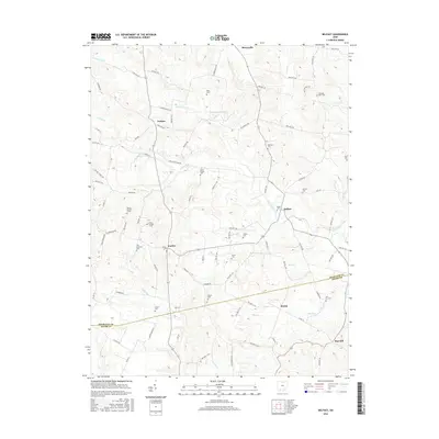 2016 Belfast2016 Print · USGSSouthern Ohio's rural landscape is captured here as it appeared in 2016, where the border of Highland and Adams counties meets along Ohio Brush Creek. Researchers can trace family history through a high density of burial sites like Belfast Cem, Fairfax Cem, and Walker Number 1 Cem.
 - 2019 Map of Belfast, 2019 Print
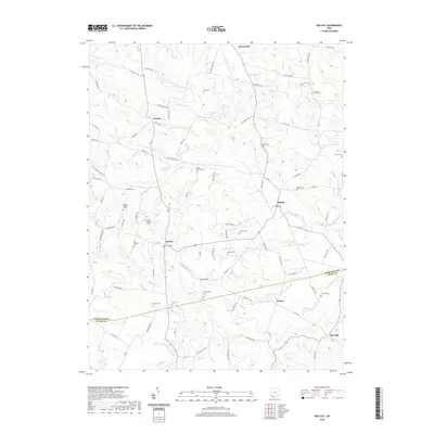 2019 Belfast2019 Print · USGSSouthern Ohio's rolling borderlands between Highland and Adams counties are shown here as they appeared in the early twenty-first century. Genealogists and local historians can locate numerous small family burial sites, including Walker Number 1 Cem, Old Concord Cem, and Haigh Cem.
 - 2023 Map of Belfast, 2023 Print
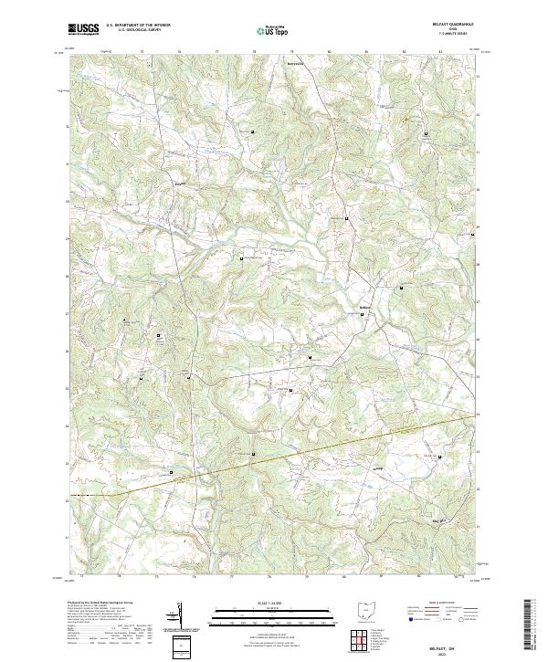 2023 Belfast2023 Print · USGSSouthern Ohio's rural landscape is captured here in the early twenty-first century, showing the crossroads where Highland and Adams Counties meet. Genealogists can trace family burial sites across sixteen named cemeteries, including Walker Number 1, Old Concord Cem, and Hurst Cem.
End of results
Showing maps 1-13 of 13
Top cities near Folsom
- Hillsboro historical maps
- New Market historical maps
- Peebles historical maps
- Lynchburg historical maps
- New Vienna historical maps
- Marshall historical maps
See more
Frequently asked questions
- What are the different types of historical maps available for Folsom?
- What is the oldest map of Folsom?
- Where can I purchase historical maps of Folsom for my home or office?
- Where can I download high-res historical maps of Folsom?
- Are there historical topographic maps available for Folsom?
- Is there historical aerial imagery available for Folsom?
- Where are historical maps of Folsom sourced from?